Up - Knowsley to Derrinal

Trail section between Knowsley and Derrinal Stations

Section Highlights:

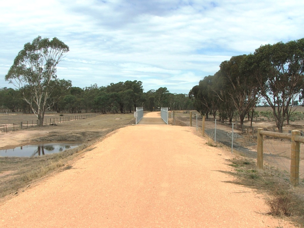
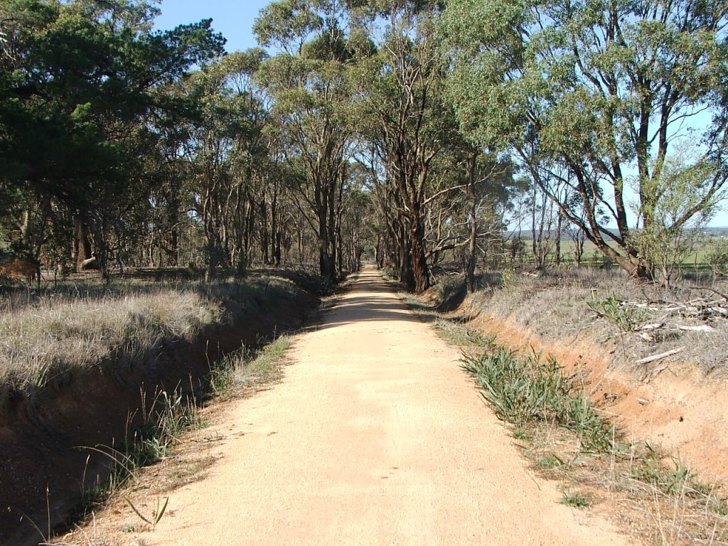
The end of Knowsley Station is marked by the Knowsley-Eppalock Road and the rail alignment can be easily seen heading East. The Trail runs parallel to this, rejoining the rail alignment just before it reaches the replacement bridge.

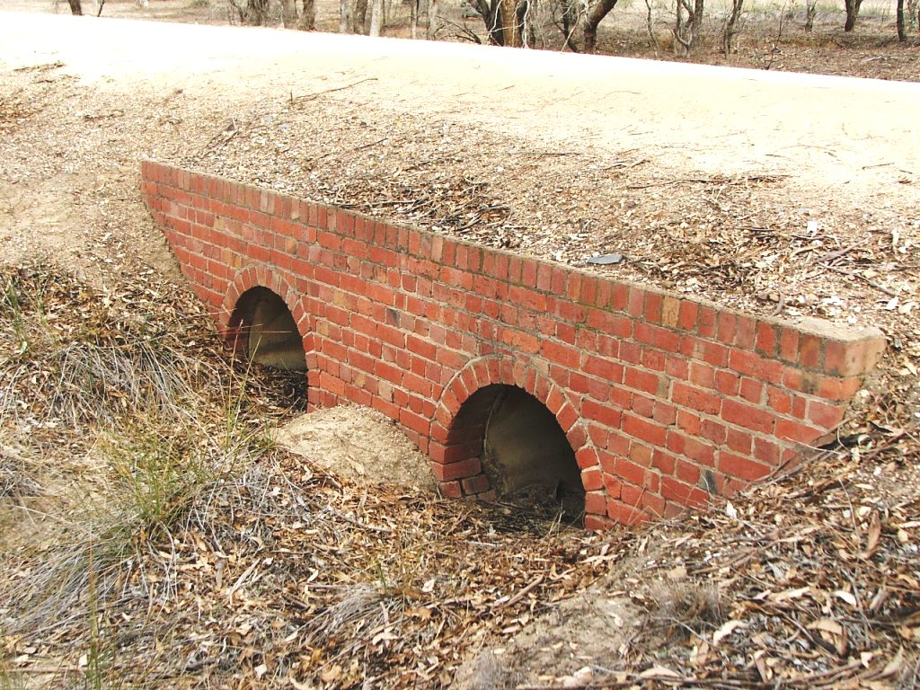
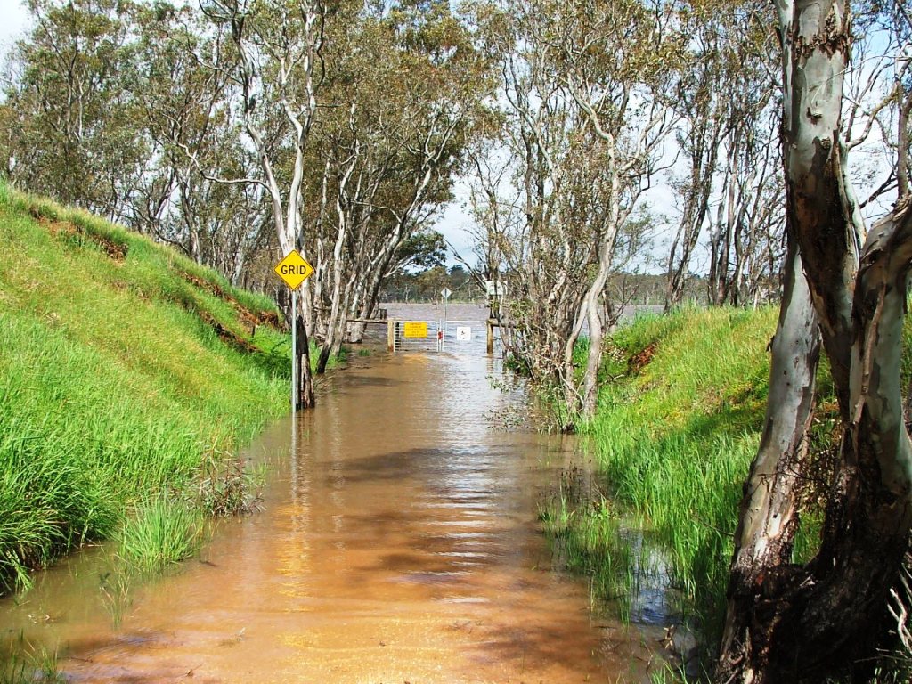
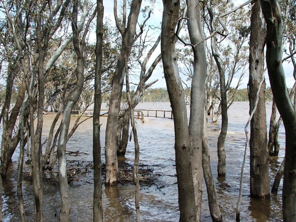
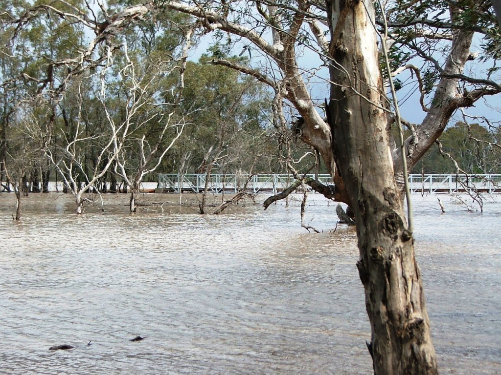
The McIvor Highway beyond Moorabbee Foreshore Road has only been in existence since the 1960s. Prior to that, it ran a short distance along Moorabbee Foreshore Road before heading across what is now the North end of Lake Eppalock. This section is normally under water in wet seasons. The brick culvert a short distance beyond, replaced the original timber railway bridge.

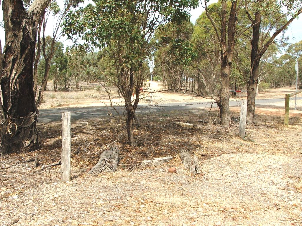
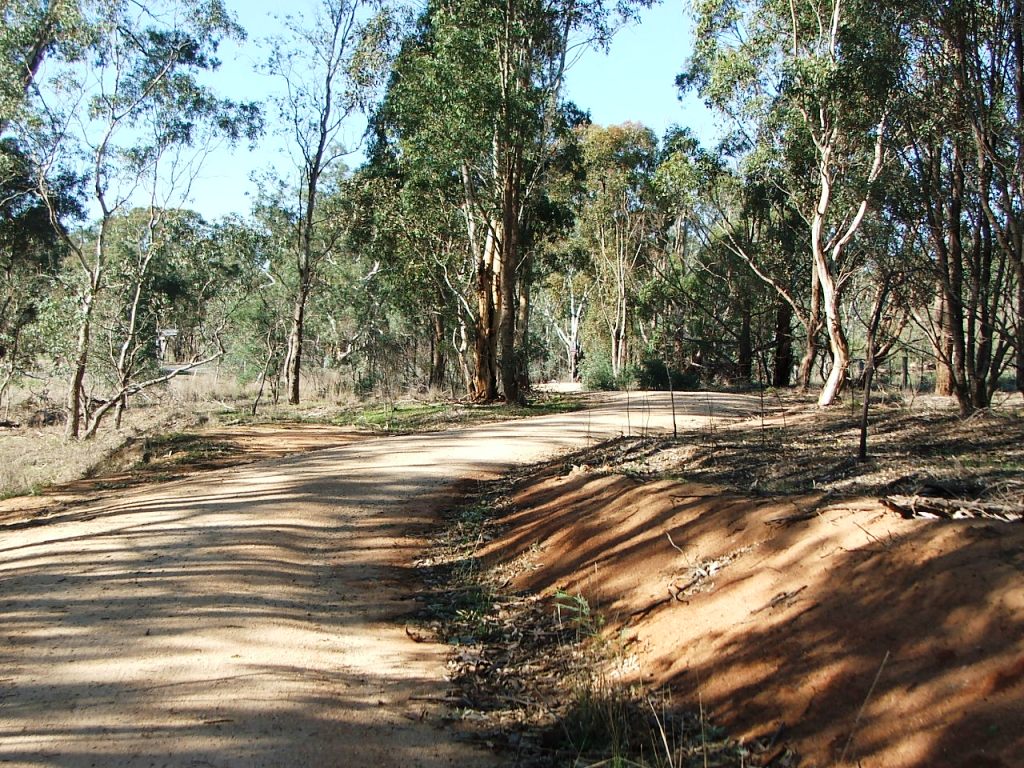
Drummond Lane was just a simple crossing as the road only junctioned with Moorabbee Foreshore Road while it was part of McIvor Road.

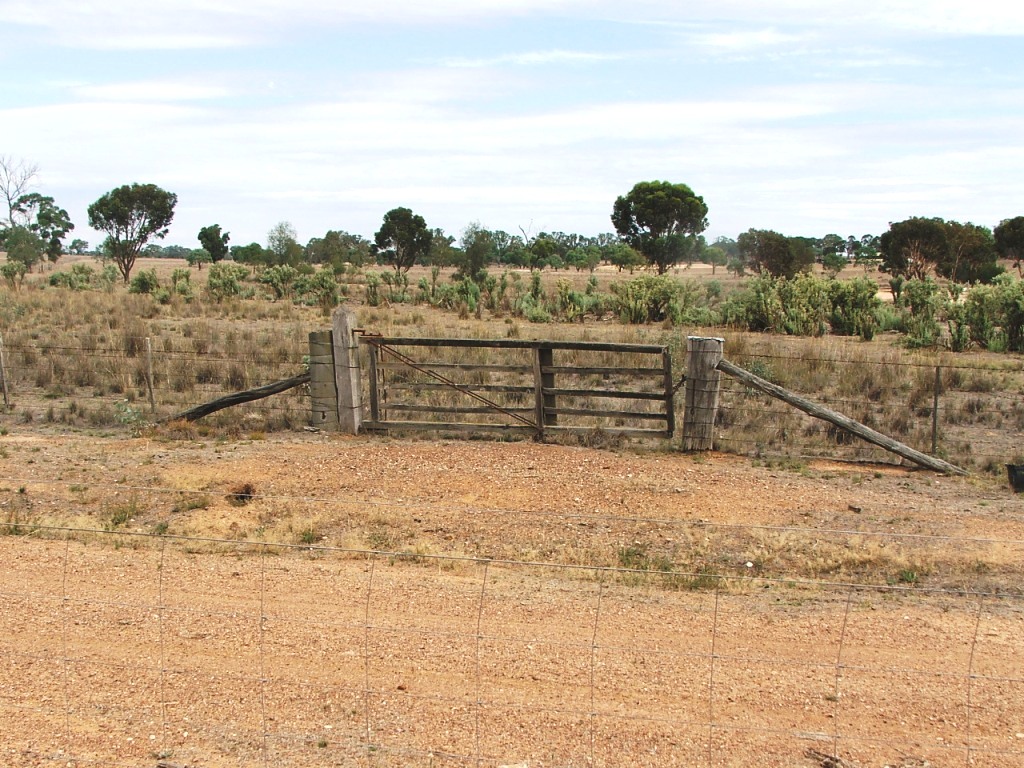
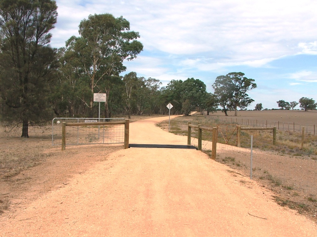
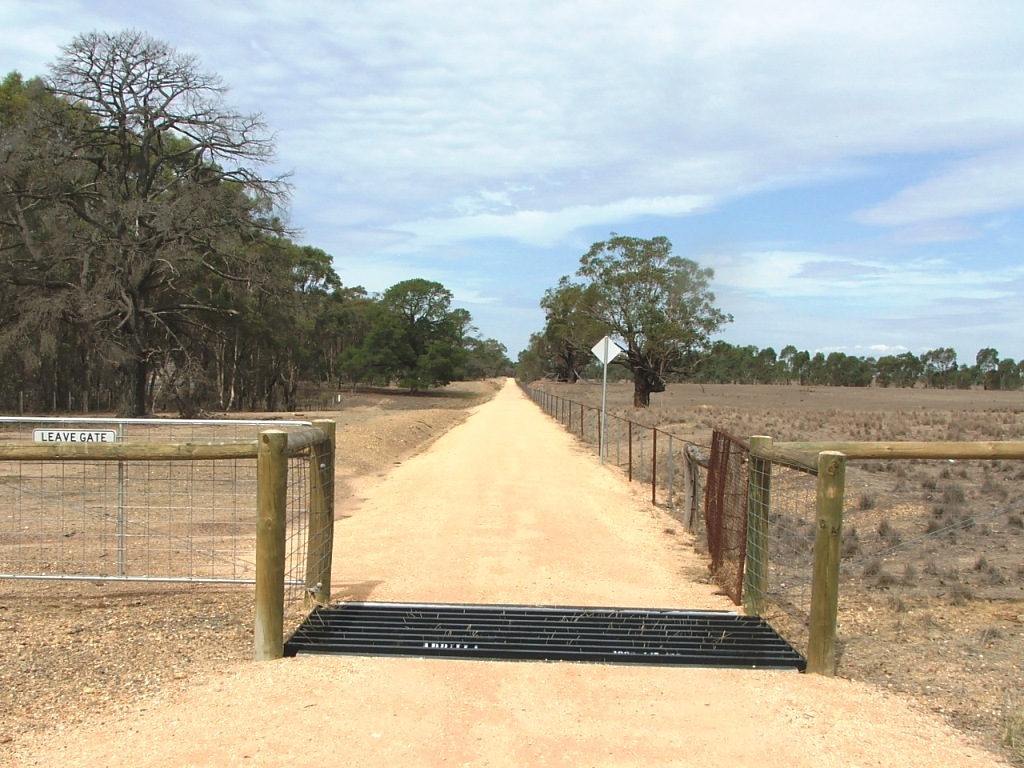
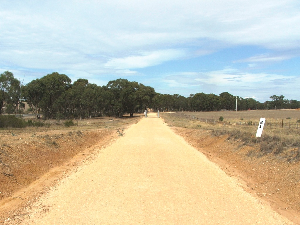
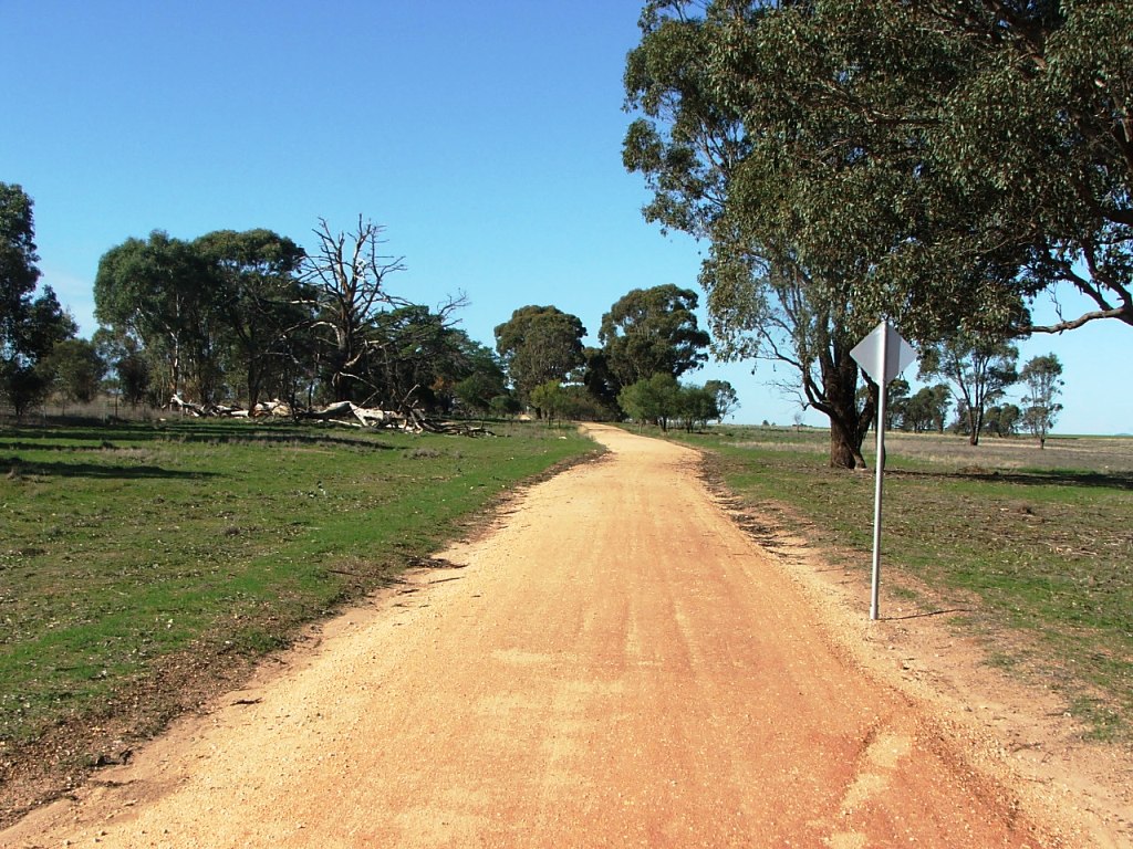
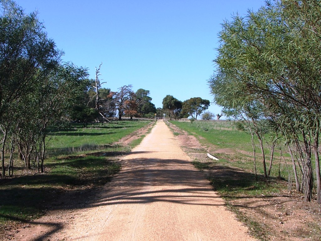
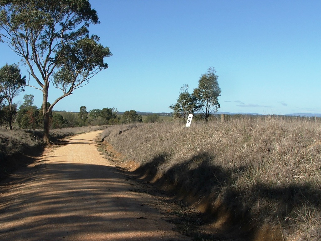
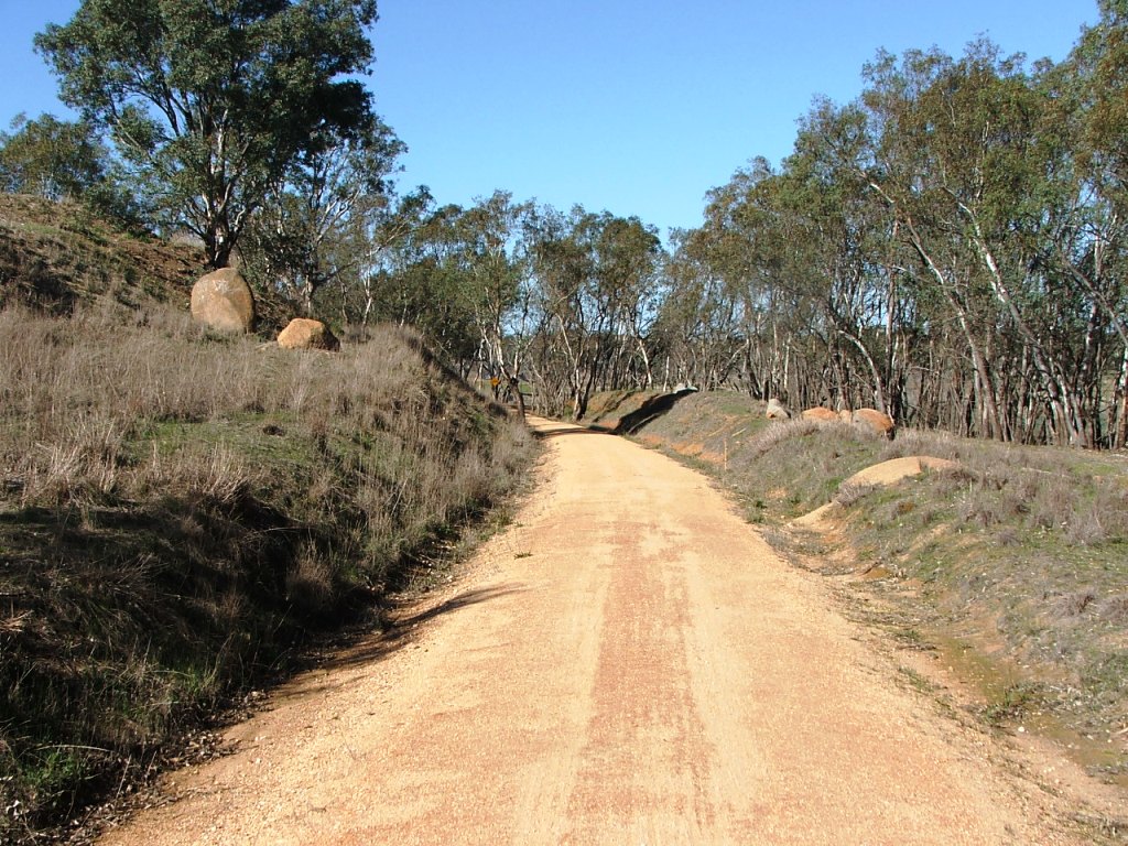
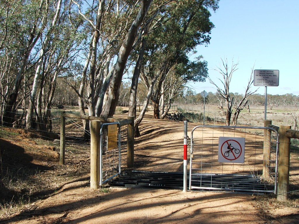
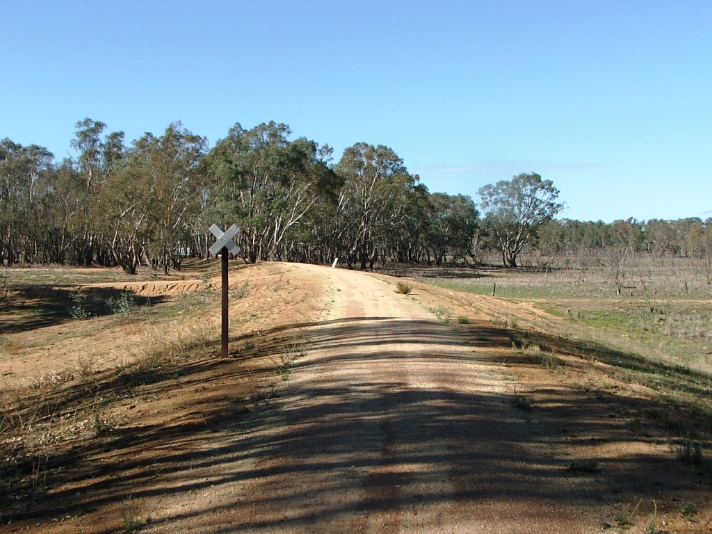
After crossing the bridge replacement, the Trail passes Stranger Rock, a geological oddity. It continues to Lake Eppalock, crossing a cattle grid where there was once an Occupation Crossing. The Trail alignment only roughly follows the line through this section as it approaches the Derrinal-Crosbie Road Crossing. The section was raised some 3 metres above the original rail level to keep it above the flood line.

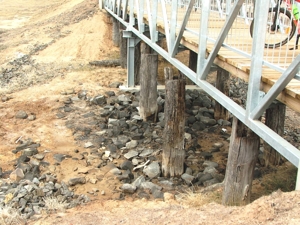
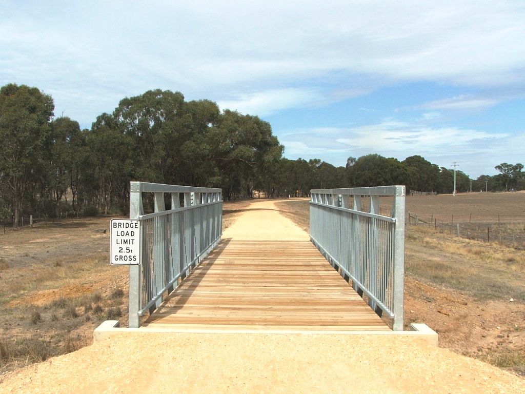
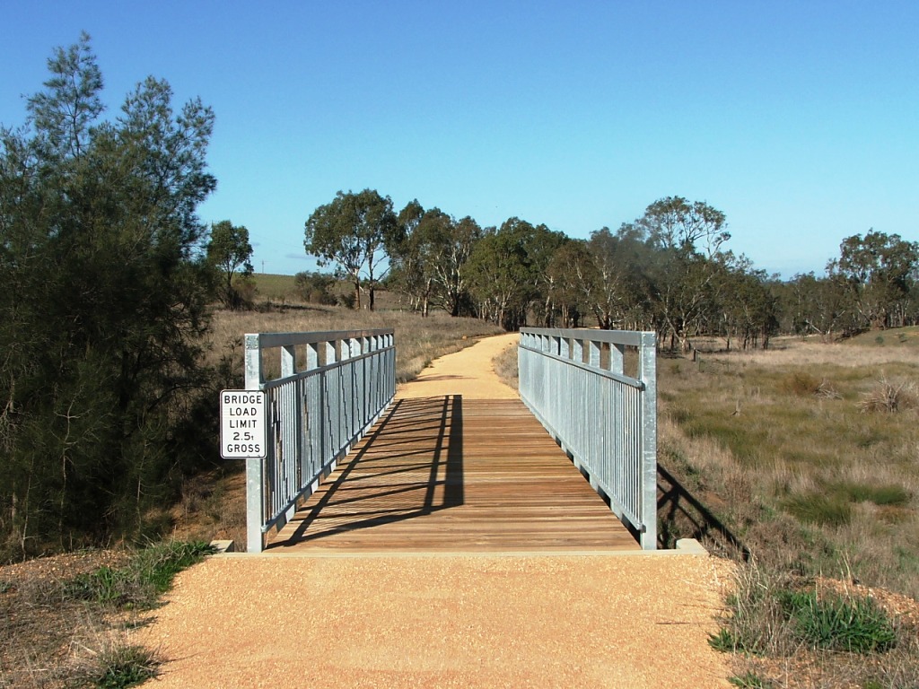
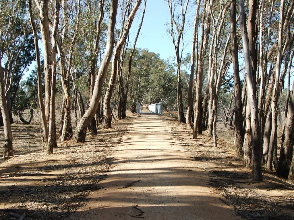
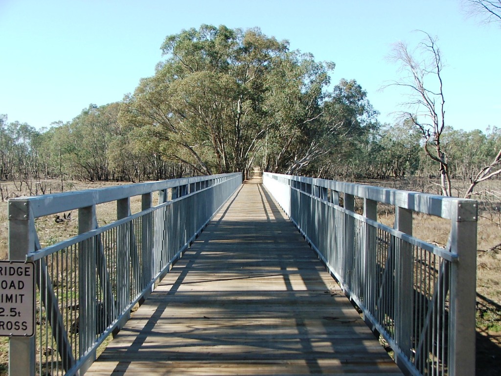
The bridge over the Mount Ida Creek is a modern replacement for the original timber one.

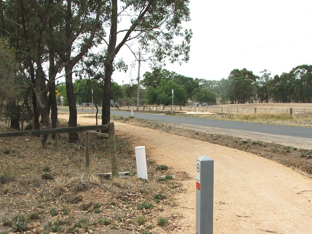
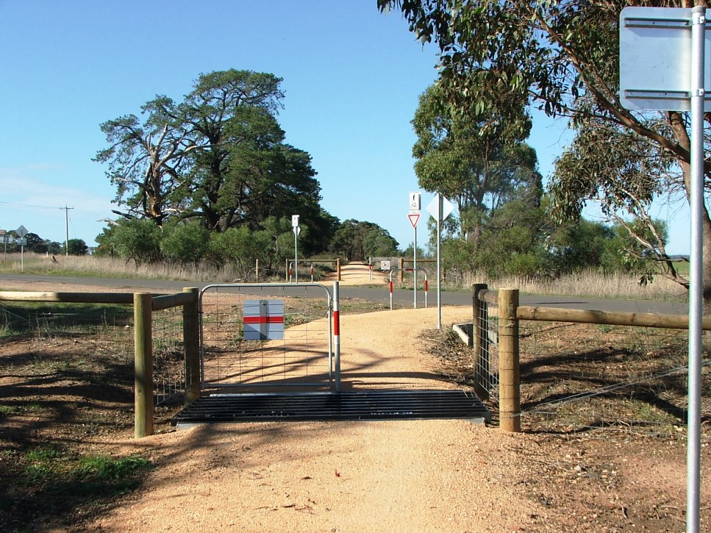
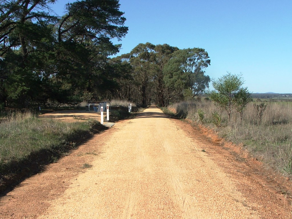
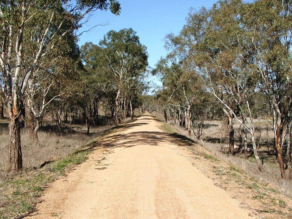
The Trail reaches Derrinal Station Lane - named in 2015. In the days of the railway line, it was only the access road for Derrinal station. The Trail does not enter the Derrinal Station ground as it is now privately owned. Instead, it proceeds along the Lane, turns left, and comes to what we can call the Derrinal Station Rest Area. The station platform can be seen by looking across the highway from under the Derrinal sign.


imagestrail/dscf9535.jpg

Crossing the Knowsley-Eppalock Road at the Up end of Knowsley Station.

imagestrail/dscf9538.jpg

Heading towards Heathcote from the Knowsley-Eppalock Road Crossing.

../rail/imagesrail/dscf9539.jpg

The Trail rejoins the rail alignment shortly after crossing Knowsley-Eppalock Road.

../rail/imagesrail/dscf9541.jpg

Pile remains under the bridge.


../rail/imagesrail/dscf9544.jpg

Timber rail gate in fence on the right.

../rail/imagesrail/dscf9545.jpg

Cattle grid entrance to a private property section.

../rail/imagesrail/dscf9546.jpg

A long straight section.

../rail/imagesrail/dscf9549.jpg

Replica Marker Post 82.


../rail/imagesrail/dscf9552.jpg

Another cattle grid.

../rail/imagesrail/dscf9561.jpg

Replica Marker Post 81.

../rail/imagesrail/dscf9562.jpg

Originally a 5 x 7' openings timber bridge.

../rail/imagesrail/dscf9563.jpg

Trail diverges to the right from the line to cross what was the main road from Heathcote.


Old McIvor Road

Detail of the old McIvor Road.


../rail/imagesrail/dscf9564.jpg

Cattle grid at 1880s McIvor Road, now Moorabbee Foreshore Road.

../rail/imagesrail/dscf9567.jpg

Cattle grid on East side of Moorabbee Foreshore Road.

../rail/imagesrail/dscf9568.jpg

The Parish Boundary and originally a 3 x 7' openings bridge.

../rail/imagesrail/dscf9569.jpg

The original timber bridge was replaced by this culvert before the line closed.


../rail/imagesrail/dscf9911.jpg

Heading towards Drummond Lane Crossing.

../rail/imagesrail/dscf9912.jpg

Nearing the crossing.

../rail/imagesrail/dscf9913.jpg

Drummond Lane Crossing.

../rail/imagesrail/dscf9914.jpg

You can rest here and enjoy the view to the Great Dividing Range in the distance.


imagestrail/dscf9915.jpg

The view to the Great Dividing Range.

../rail/imagesrail/dscf9916.jpg

Starting down the rise through the cutting.

../rail/imagesrail/dscf9918.jpg

Marker Post 80 is midway around the curve.

../rail/imagesrail/dscf9921.jpg

Replacement bridge.


../rail/imagesrail/dscf9922.jpg

Freewheeling towards Lake Eppalock.

../rail/imagesrail/dscf9925.jpg

Through the boulder cutting.

../rail/imagesrail/dscf9926.jpg

Entry to Lake Eppalock, August 2016.

../rail/imagesrail/dscf9926.jpg

Same area, October 4, 2016.

../rail/imagesrail/dscf9927.jpg

The new Trail causeway across the North end of Lake Eppalock.

../rail/imagesrail/dscf0243.jpg

Same area, October 4, 2016.


../rail/imagesrail/dscf9929.jpg

Derrinal-Crosbie Road Crossing.

../rail/imagesrail/dscf9930.jpg

Marker Post 79, near Derrinal-Crosbie Road Crossing.

../rail/imagesrail/dscf9931.jpg

Approaching Mount Ida Creek bridge.

../rail/imagesrail/dscf9932.jpg

Mount Ida Creek bridge.


../rail/imagesrail/dscf0248.jpg

Mount Ida Creek bridge, October, 2016.

../rail/imagesrail/dscf9933.jpg

Leaving the bridge.

../rail/imagesrail/dscf9935.jpg

Approaching Derrinal Station Lane and Derrinal Station site.

../rail/imagesrail/dscf9936.jpg

The rail line went straight ahead, the Trail diverges.


Site selection

Location Menu

Heathcote direction

Derrinal

Bendigo direction

Down

This site is hosted by CoffeeCup S-Drive.
Please email any comments, errors or additions to