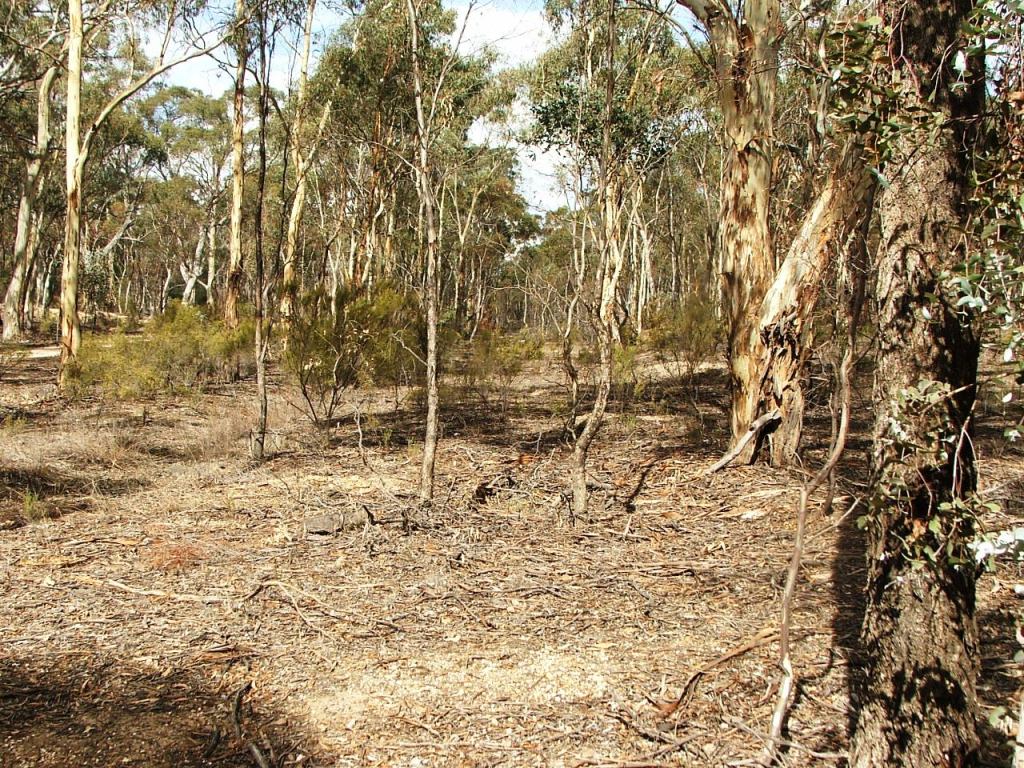
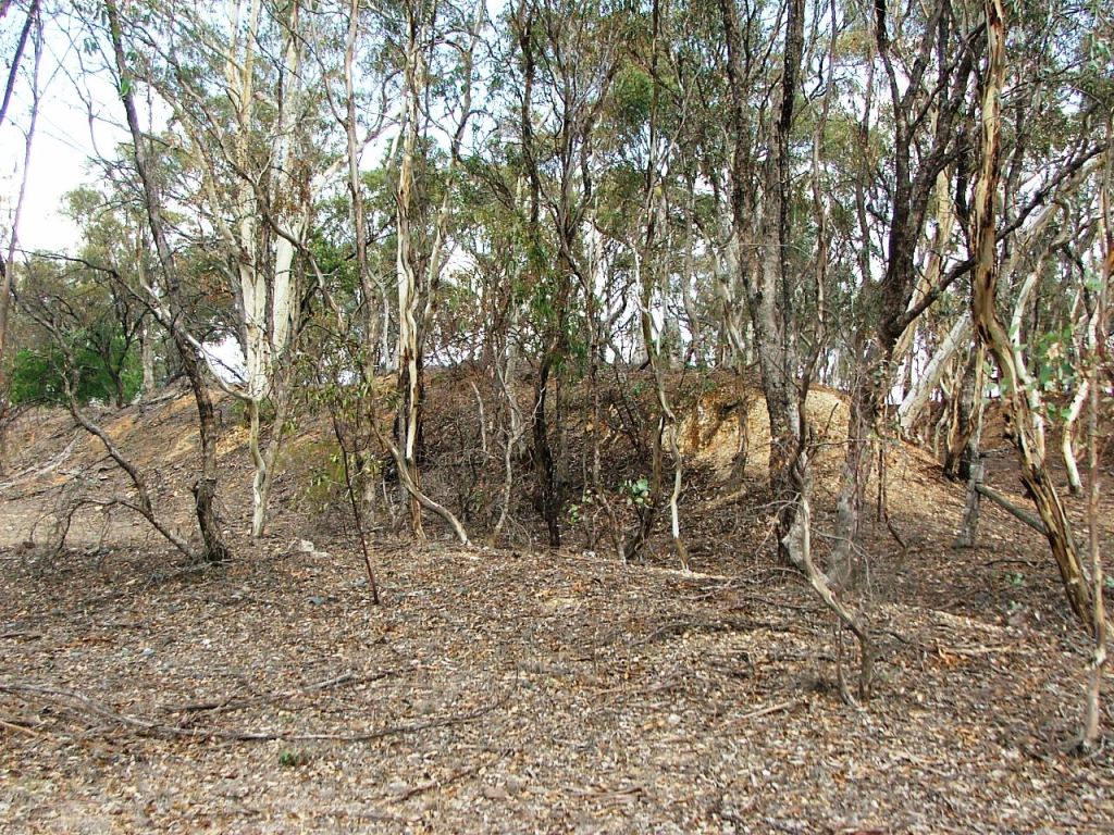
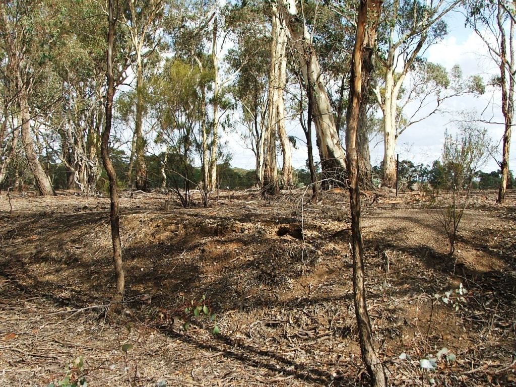
Virtually unrecognisable Down end of Axedale Station Ground.
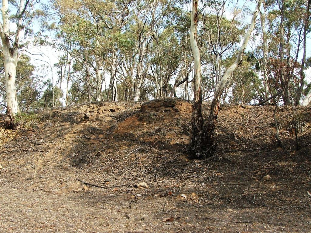
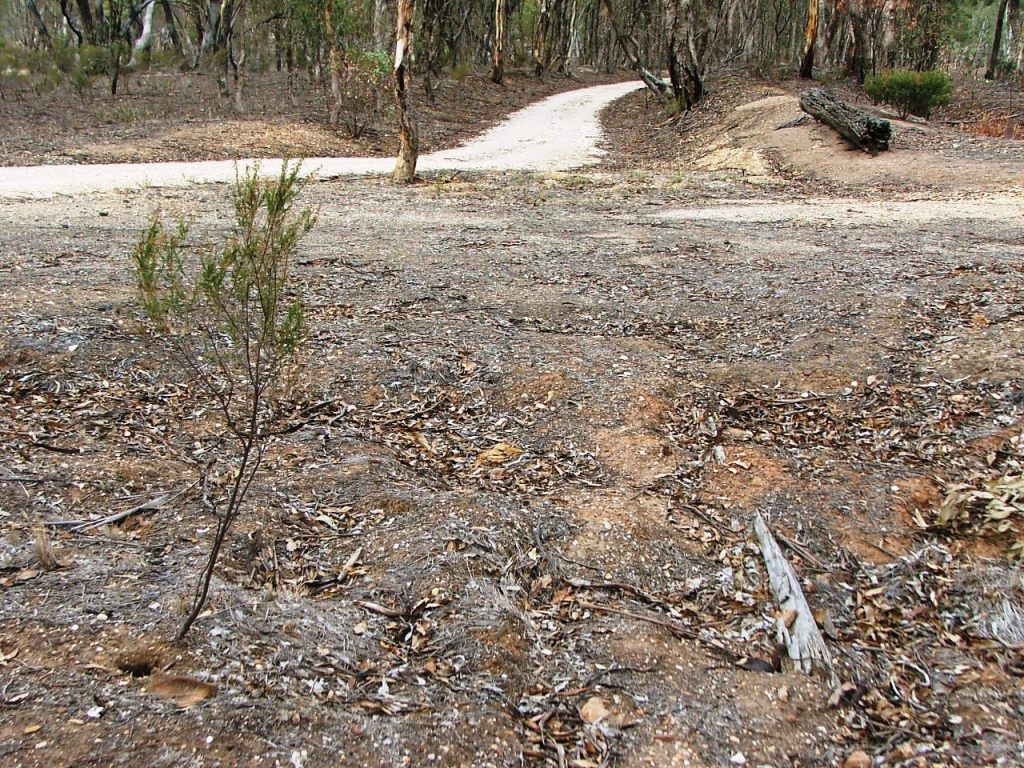
A little further into the station ground.

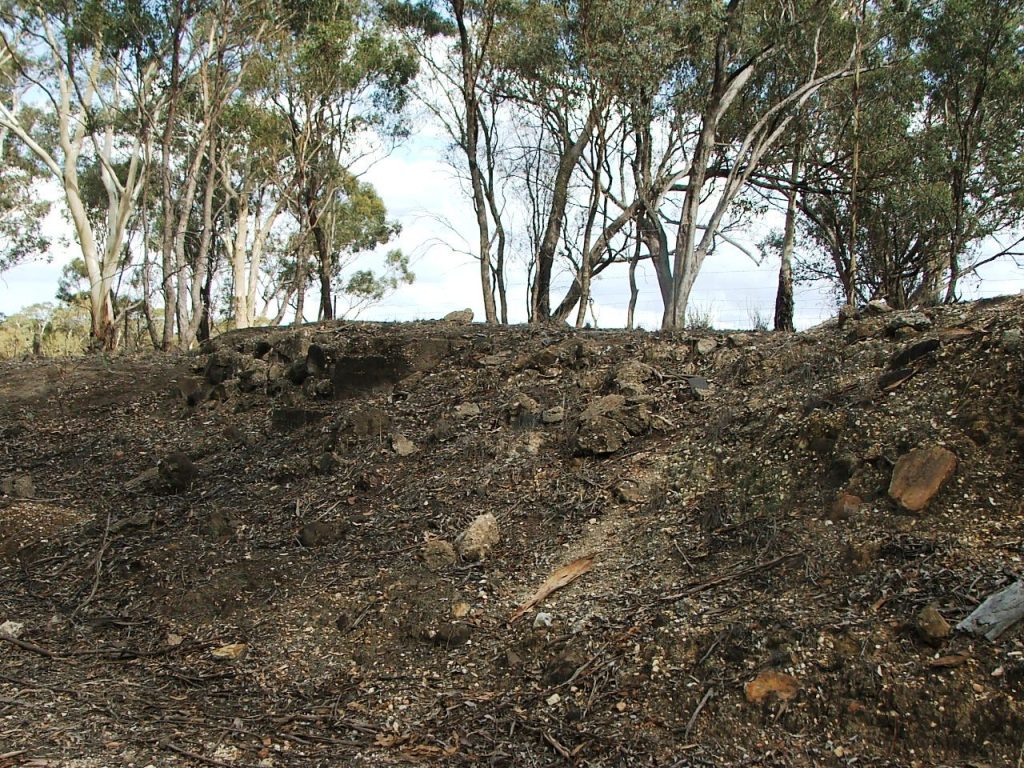
Further still.

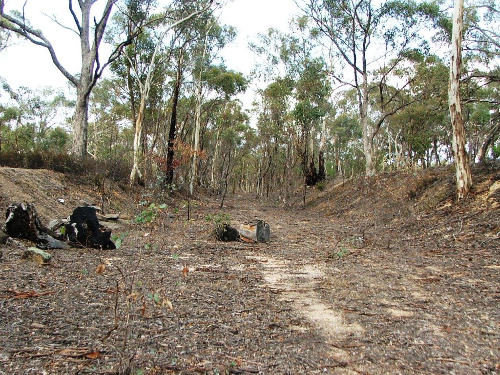
Approaching the Passenger Platform (left) and Goods loading ramp (right)
Axedale Station detail.
Axedale Station Ground is entered from an unnamed road (now Taig Road) PCR Crossing into Cutting 48 on a 1 in 400 up grade. Considerable earthworks were undertaken within the ground which is exited 1C before the end of the cutting. The length of the ground is approximately 21C 30L (429.27m).
Virtually unrecognisable Down end of Axedale Station Ground.
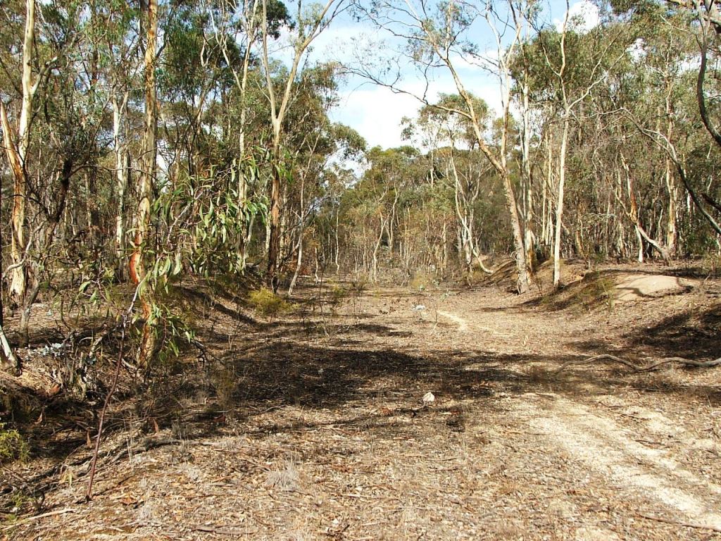
A little further into the station ground.
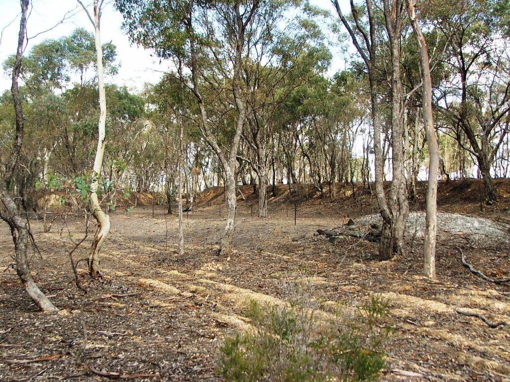
Further still.
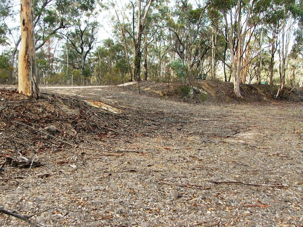
Approaching the Passenger Platform (left) and Goods loading ramp (right)
Goods loading ramp with entrance from East end PCR near centre of image.

Down end of Passenger Platform. Pity about the dead tree branch.

Entrance from the East end PCR Crossing.

Passenger Platform site. The concrete platform was provided for other purposes many years after line closure.
General Carriage Dock area.
There was a very early 1900s crusher at the top of the high bank - believed to have been operated by Brasier, Nelson and Reilly.
Evidence of a high loading ramp.
Towards the Up end of No.3 and No.4 Roads.

Only the main line and No.2 Road at this point. There was a buffer stop at the end of No.2 Road on the right in the distance.
Remnants of City of Bendigo crushed rock loading ramp.
Stockyards location on the South side.
Remains of cattle grid and PCR Crossing. Old cattle grid beam in the background
This site is hosted by CoffeeCup S-Drive.
Comments and suggestions may be e-mailed to