Cattle grid remnants at the station entrance.
Telephone pole guy anchor.
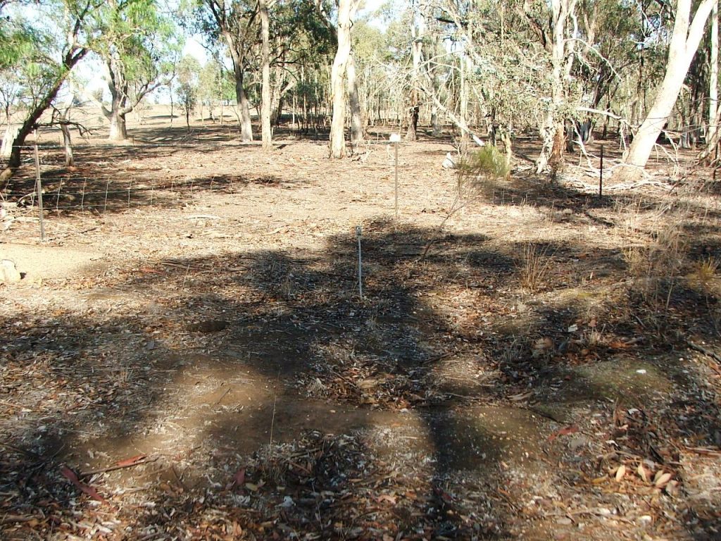
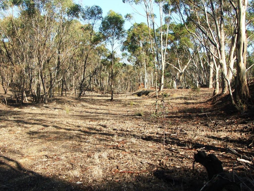
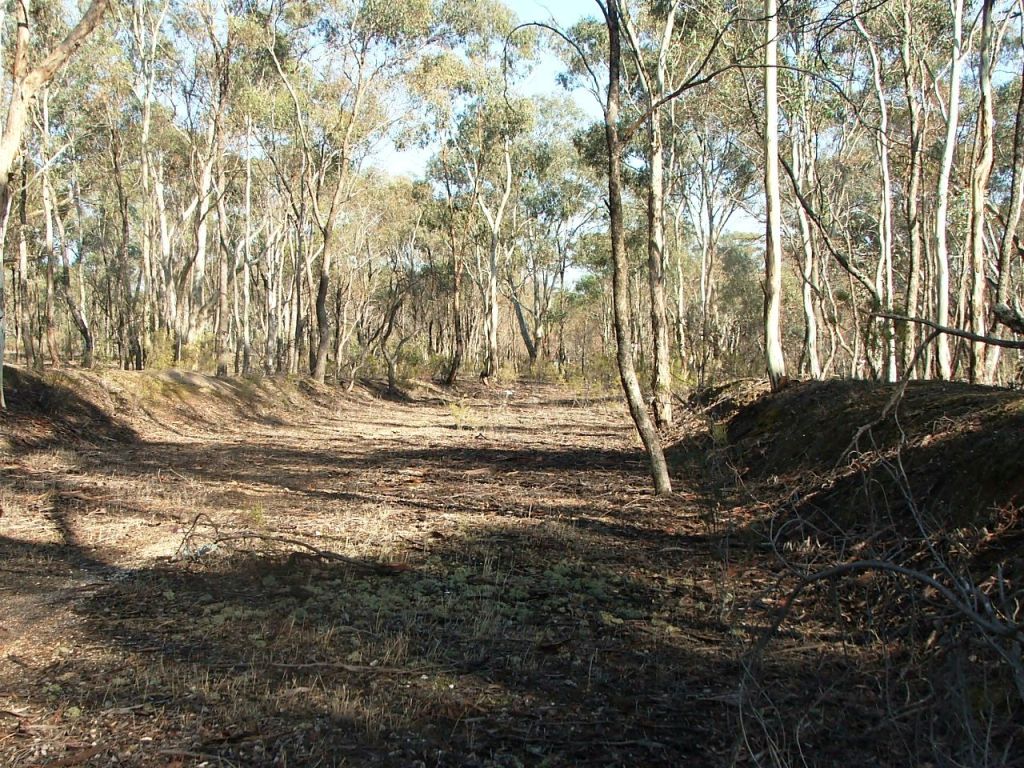
Heading into the station ground.
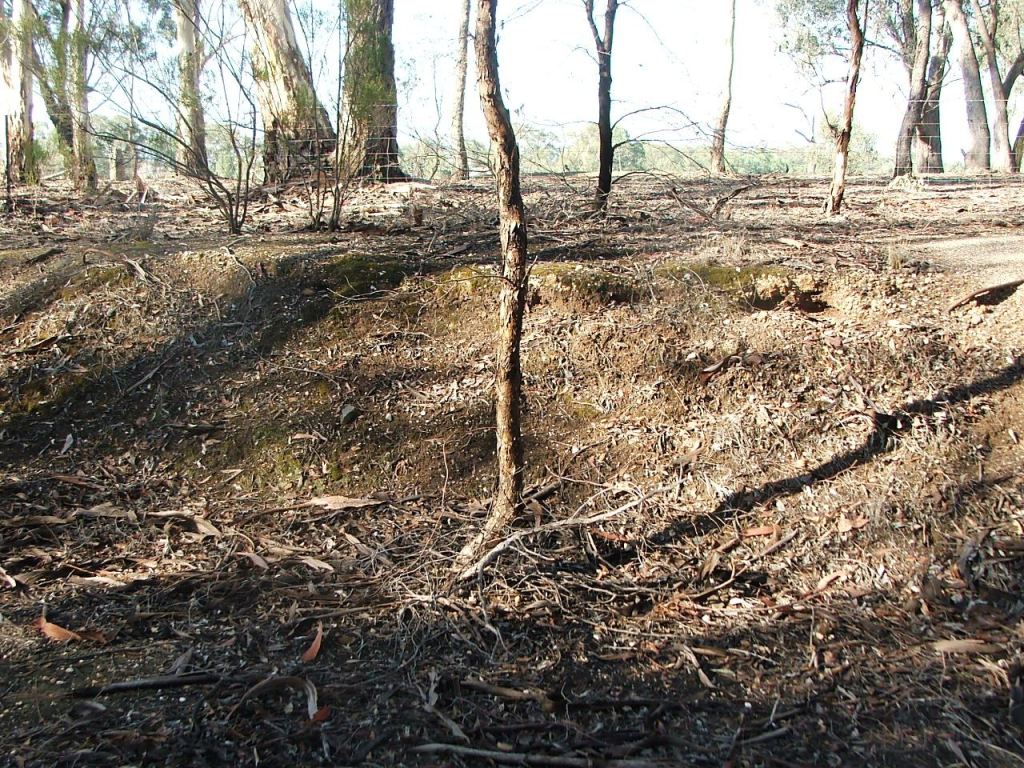
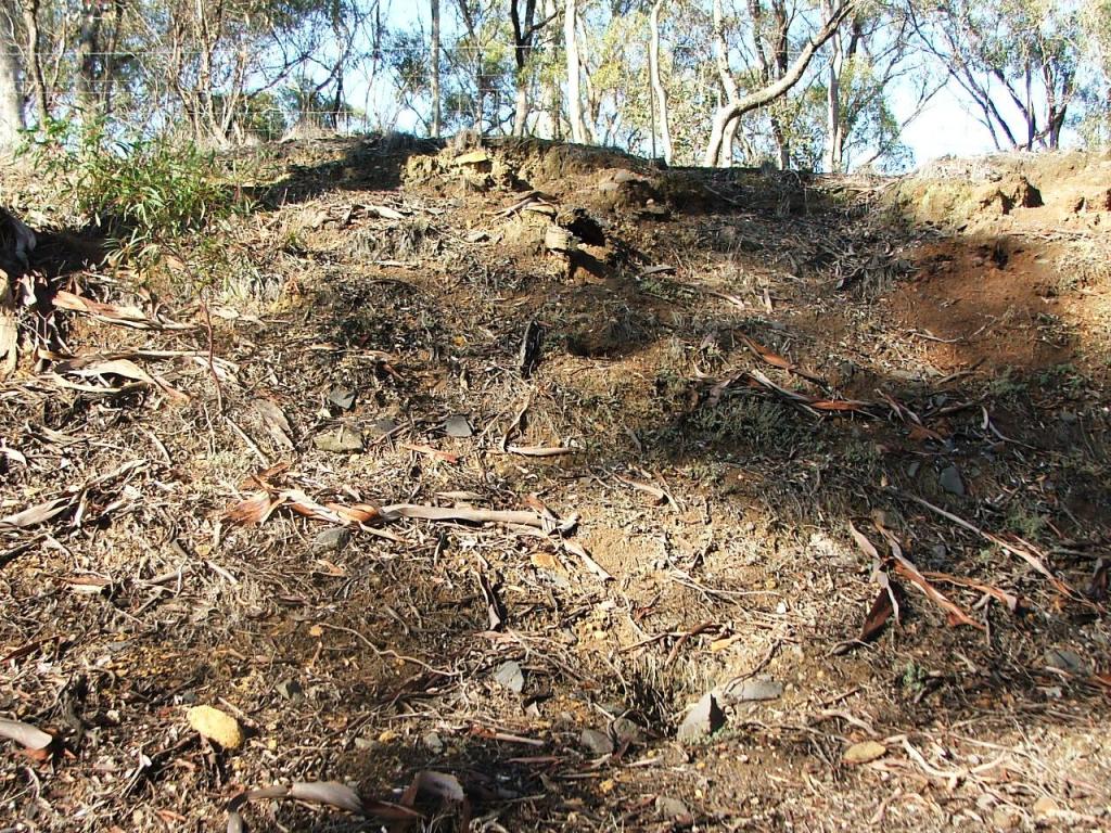
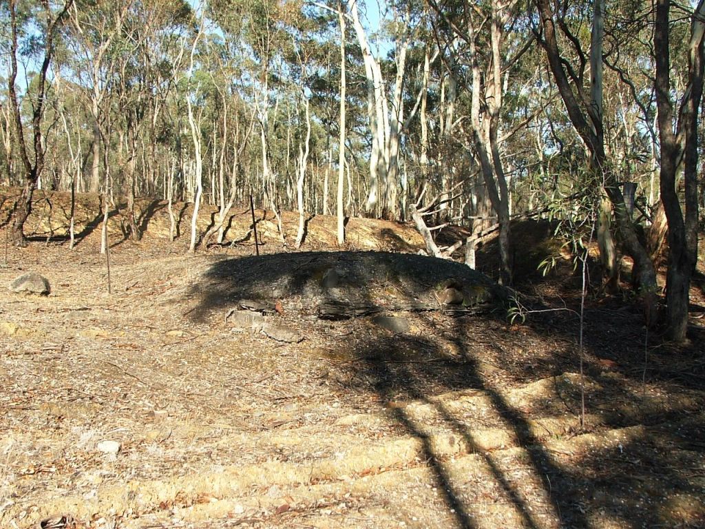
Two metal rods protruding from the South bank.
Axedale Station detail and history.
Axedale Station Ground is entered immediately after the unnamed PCR Crossing that provided access from the East (Up) end. The ground is entered on a 1 in 400 down grade just after the line enters Cutting 48. Taig Road provides the West (Down) boundary of the ground. The length of the ground is slightly more than 21C.
Cattle grid remnants at the station entrance.
Telephone pole guy anchor.
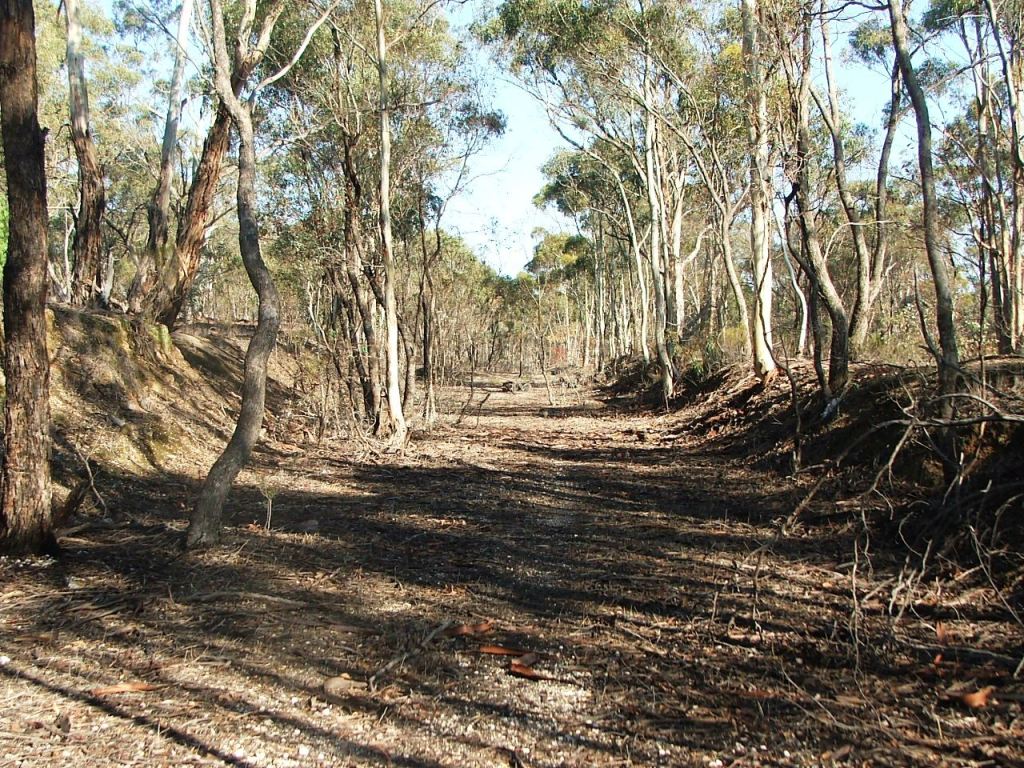
Heading into the station ground.
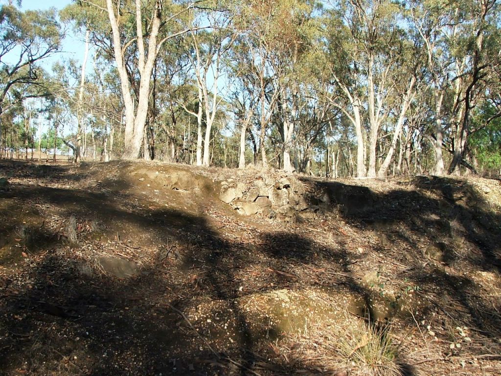
Two metal rods protruding from the South bank.
Location of the City of Bendigo crushing plant, South bank.
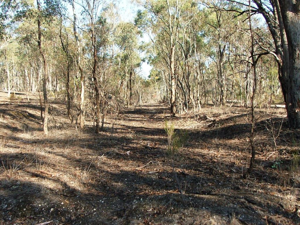
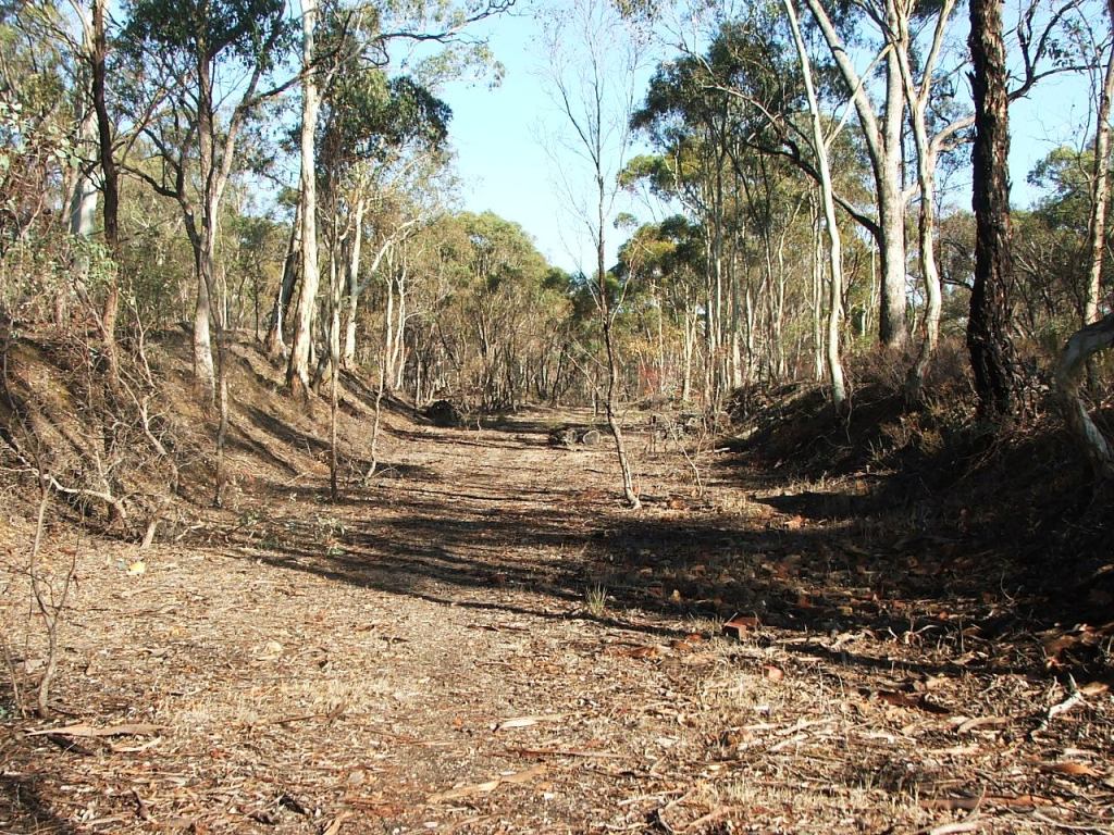
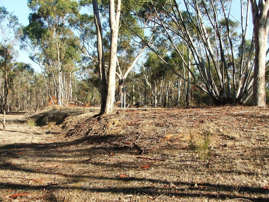
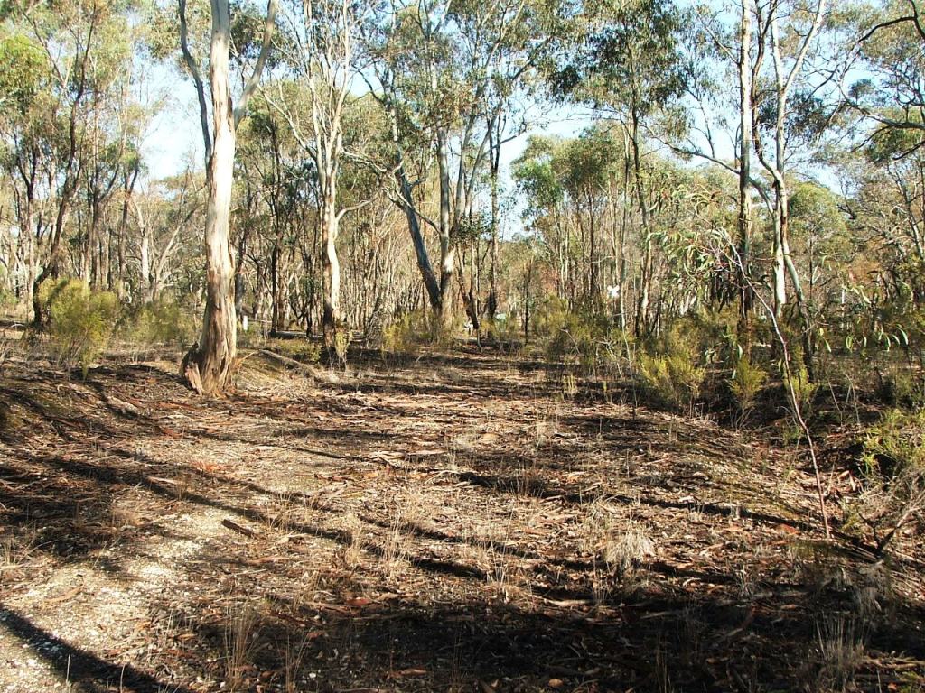
Still further into the station ground.
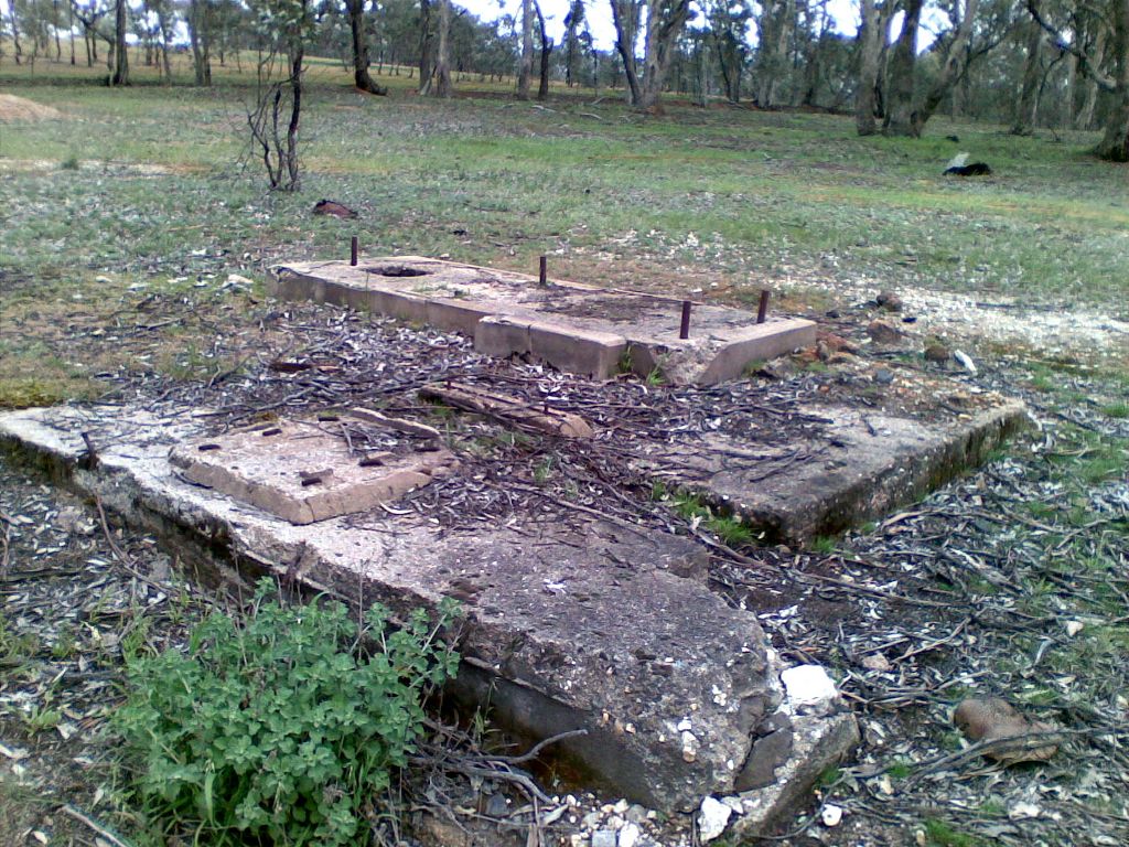
Council crusher and compressor foundations - Crockett.

Remnants of City of Bendigo crushed rock rail loading bin.
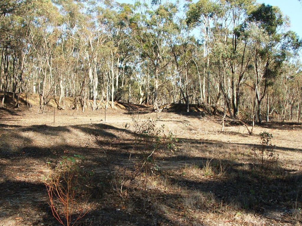
Getting closer to the passenger platform.
The carriage dock, removed in .., was on the right.
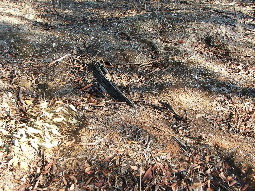
Protruding wooden beam with post hole below, remnant of Brazier, Nelson and Reilly's crusher/loading platform.
The large trees on the passenger platform were probably planted and maintained by station staff.
The crane, Goods Shed and loading ramp area, showing the entrace from Taig Road.
Remnants of old loading ramp.
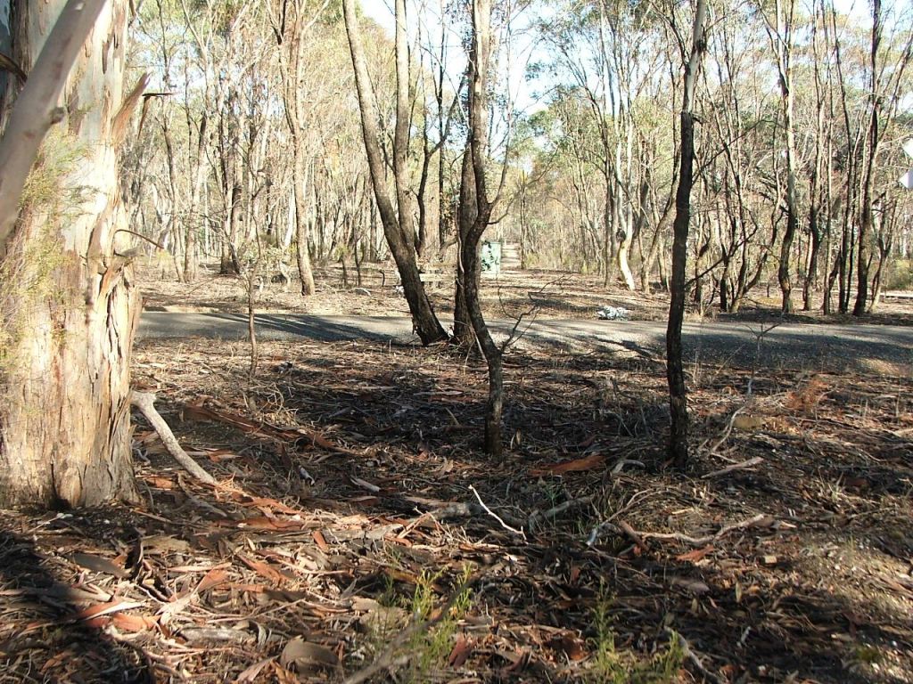
Continuing towards Taig Road.
Almost at Taig Road.
Taig Road PCR Crossing.
This site is hosted by CoffeeCup S-Drive.
Comments and suggestions may be e-mailed to