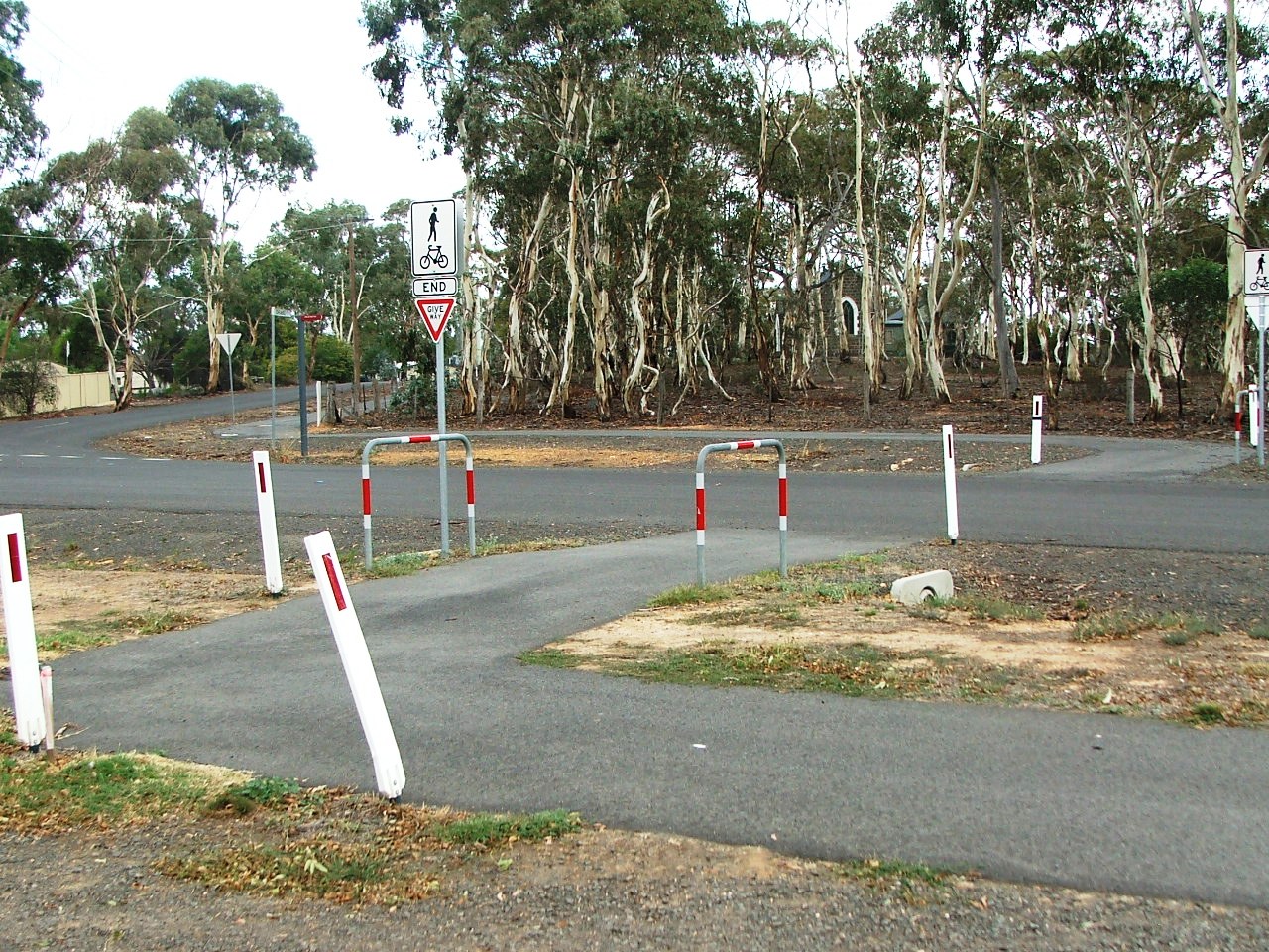
Eddington Street crossing.
...
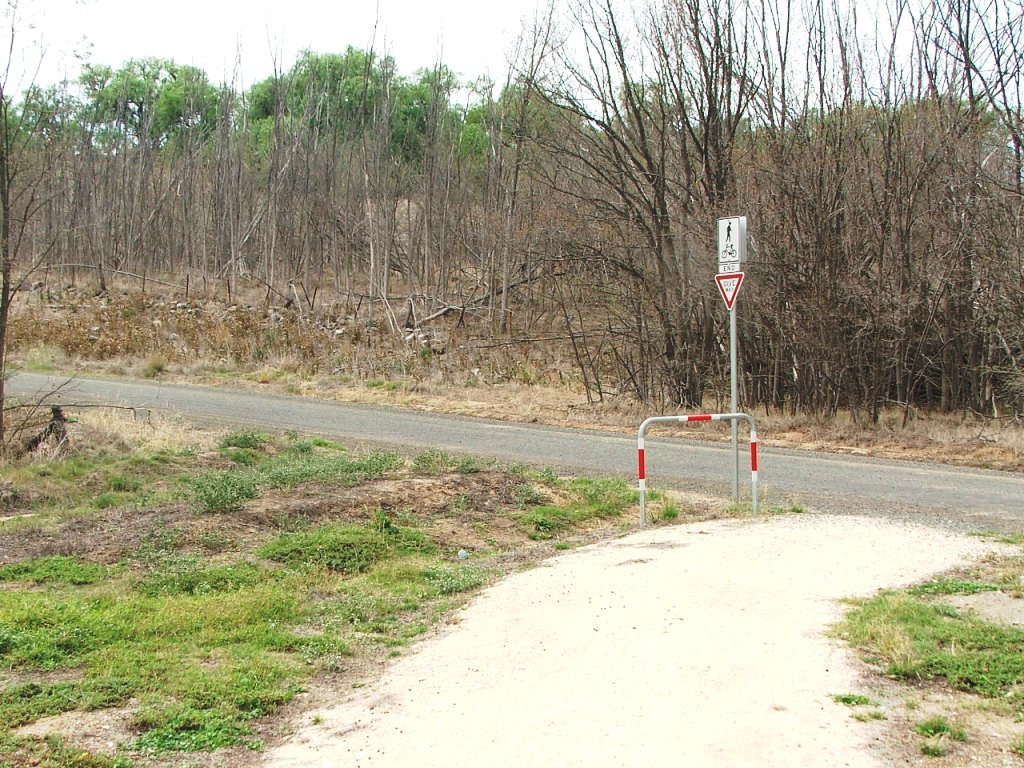
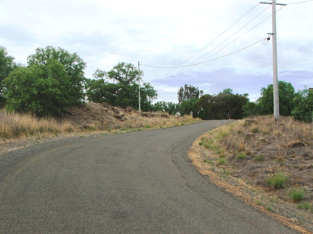
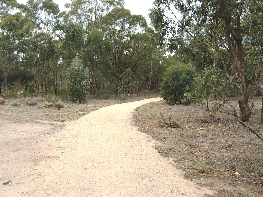
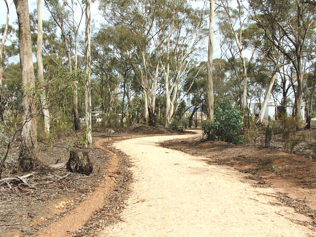
Towards Drake Street crossing near Burns Street.

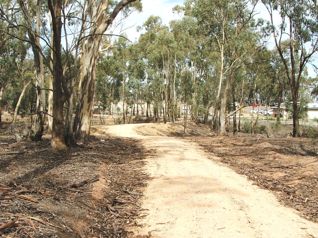
Drake Street crossing.
Section Highlights:
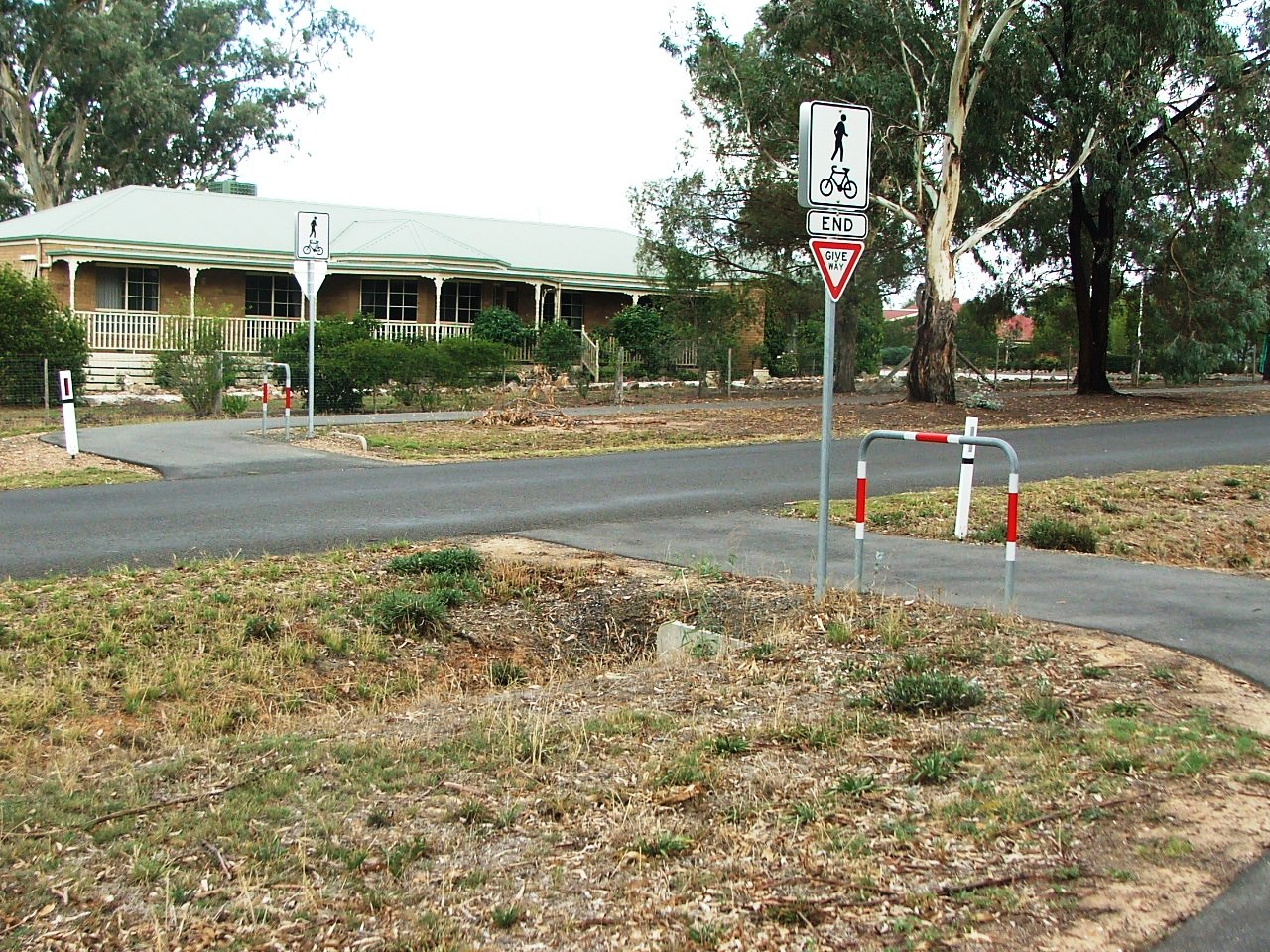
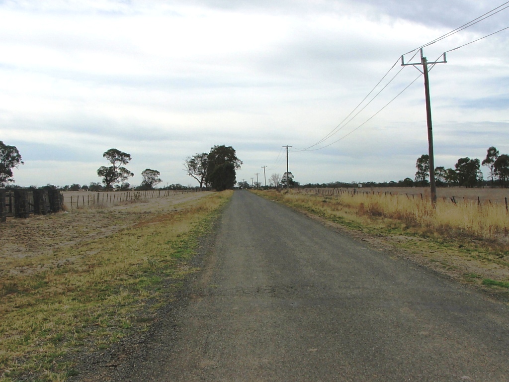
Continuing, the Trail crosses Eddington Street, turns right into Drake Street, and runs parallel to the end, crosses Drake Street, and runs parallel with Burns Street. It crosses Burns Street at the end, crosses William Street, and then runs parallel to William Street, to enter Campaspe River Reserve. It then runs parallel to the Campaspe River, passing the Platypus statue and then passing under McIvor Highway to then cross the Campaspe River via a Trail bridge.
The Trail leaves the bridge and proceeds towards Ingham Road and up Ingham Hill. Ingham Road was the second entrance and exit road for Axedale. Traces of bluestone quarrying can be seen on the left. Stone for the McIvor Highway bridge came from here and Ingham's Quarry existed through the gate at the bend in the road up the hill.
Once the bend has been negotiated, a sorry sight comes into view - the ruins of Ingham's Quarry Hotel, dating back to the 1870s. Unfortunately, it is not going to last much longer unless restored.
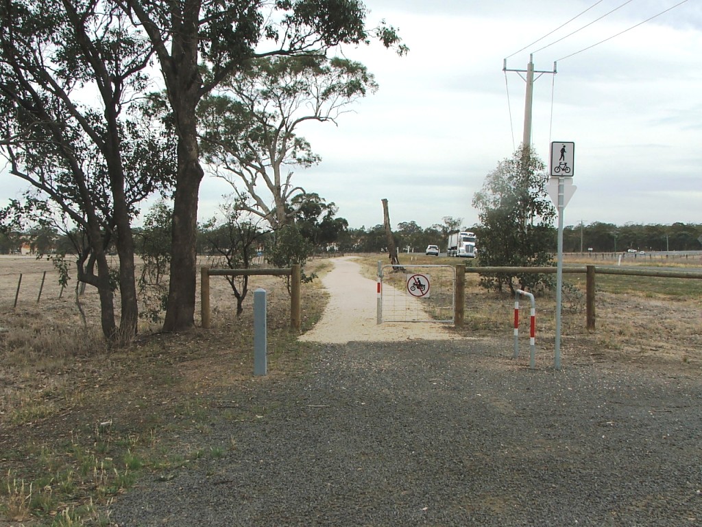
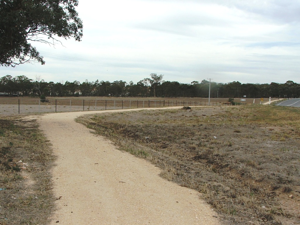
The hotel is left behind as the Trail heads for, and crosses, Brownes Lane with the nearby Axedale Sand Quarry on the left. It then heads for the McIvor Highway Crossing near the Toolleen Road intersection. Having crossed, the Trail enters the Knowsley Forest near a power transformer. It enters a restricted area, crosses over a track that leads to a picnic area, and rejoins the rail alignment after rounding a dam at what was the Ingham Siding site. Ingham's timber siding, assigned to his son-in-law Victor Allen Deane, was on the West side of Quarry Road at this point. It was initially a 60 yard dead end siding but was connected as a loop siding in 1922. Trench and Coy also had a loop siding in 1923. This loop siding crossed Quarry Road, rejoining the running line a short distance on the East side of Quarry Road.
Axedale Township to Campaspe Reserve:
Eddington Street crossing.
...
Towards Drake Street crossing near Burns Street.
Drake Street crossing.
Burns Street crossing.
William Street crossing.
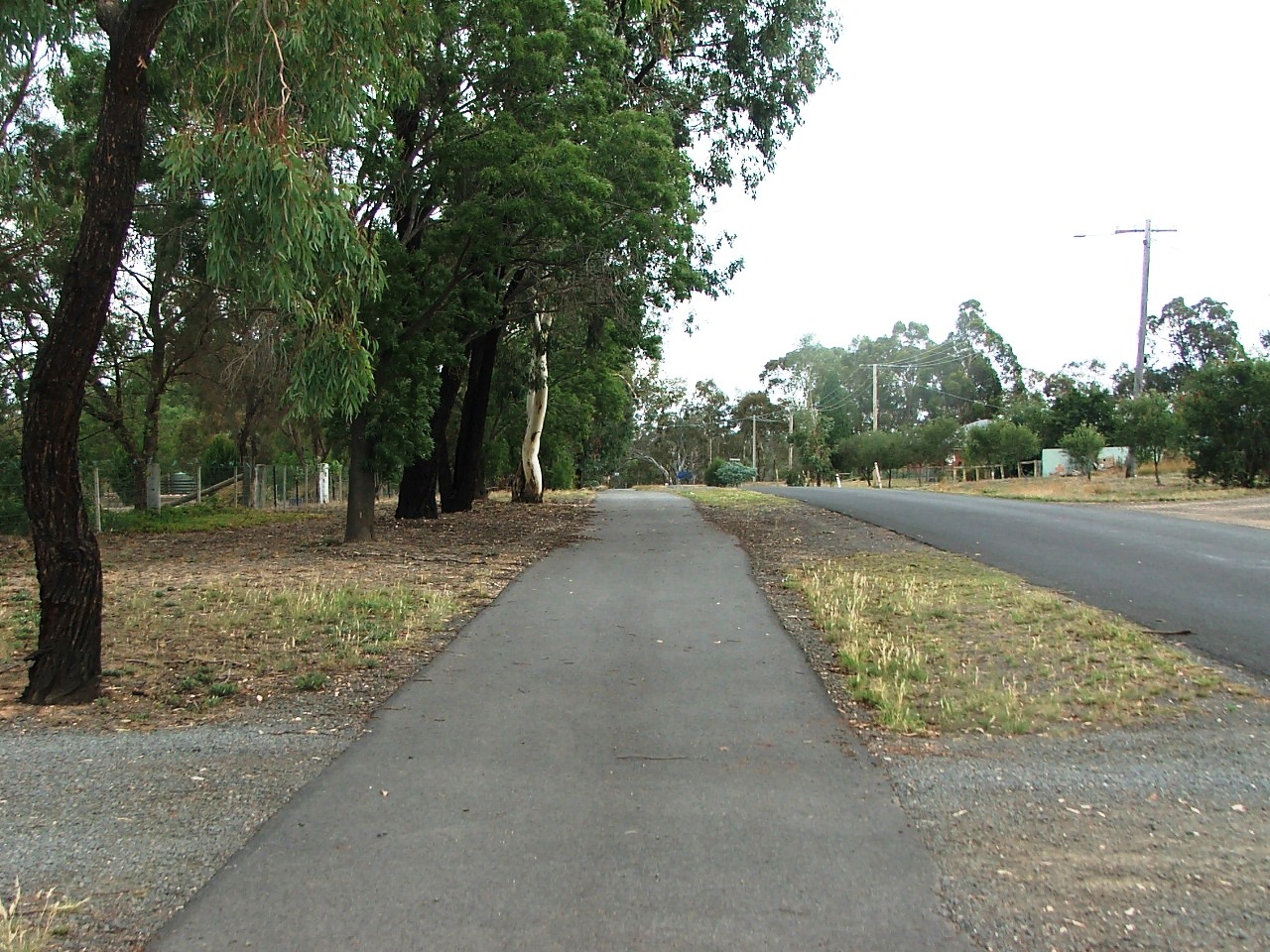
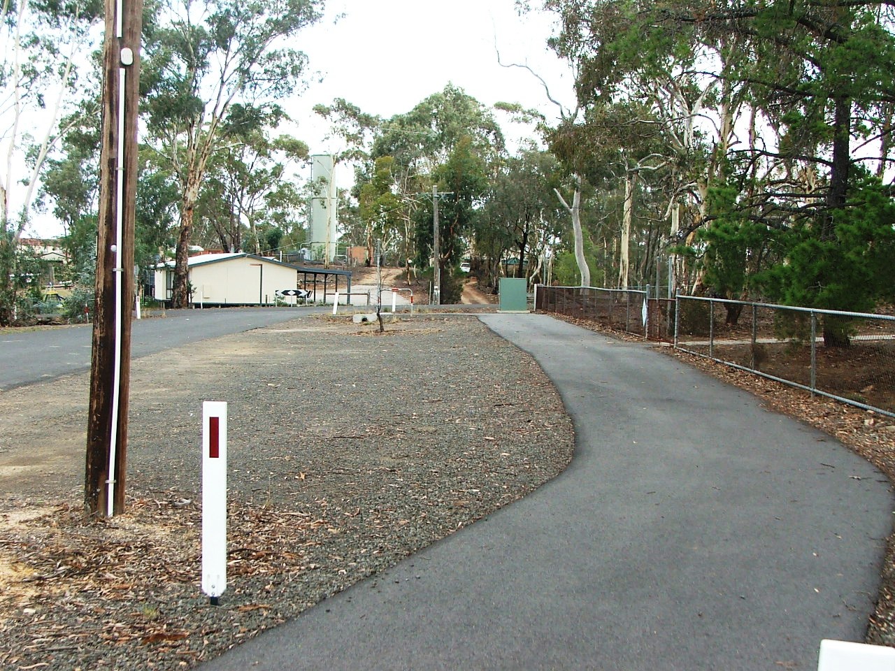
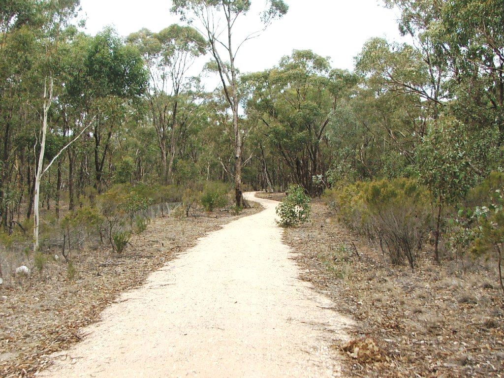
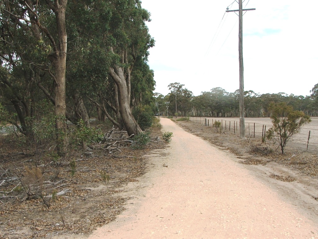
Along William Street towards Campaspe Reserve entrance.
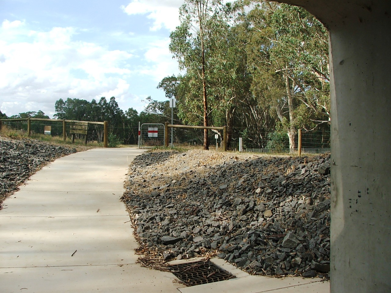
Campaspe Reserve entrance.
Campaspe Reserve:
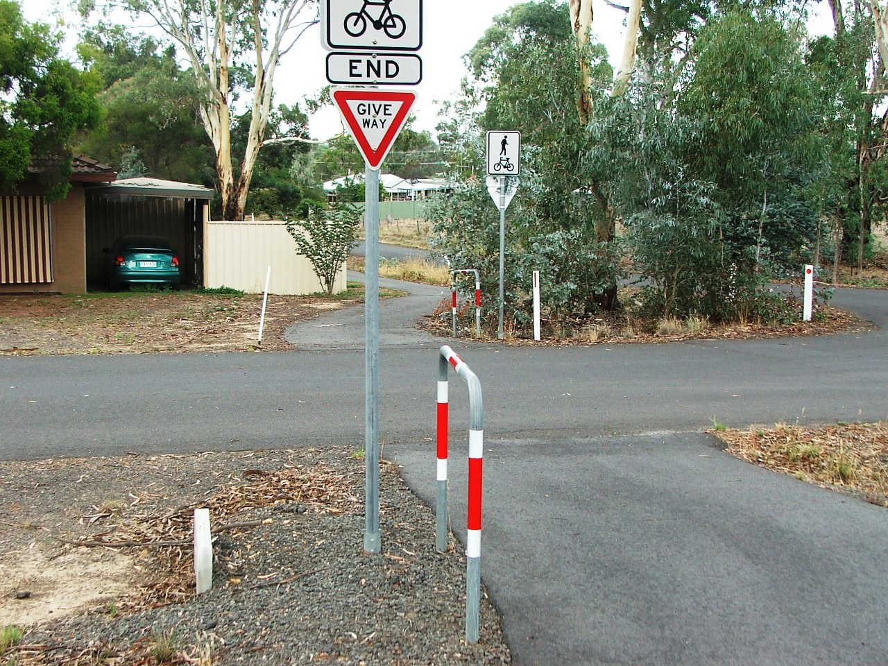
A sharp turn. Watch it!

Brakes will be required down here.

Use your brakes and watch the gate.
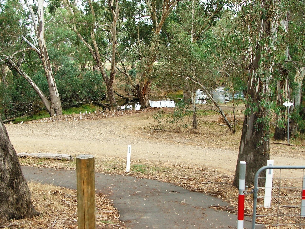
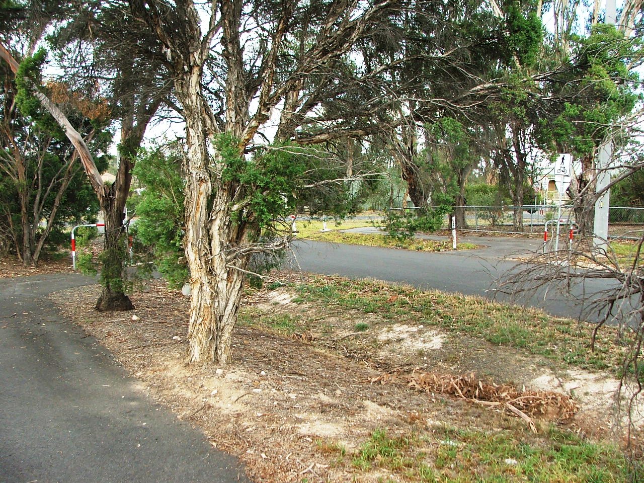
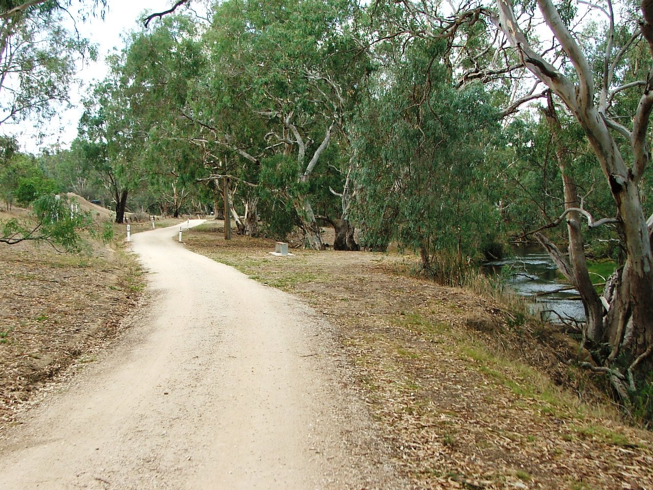
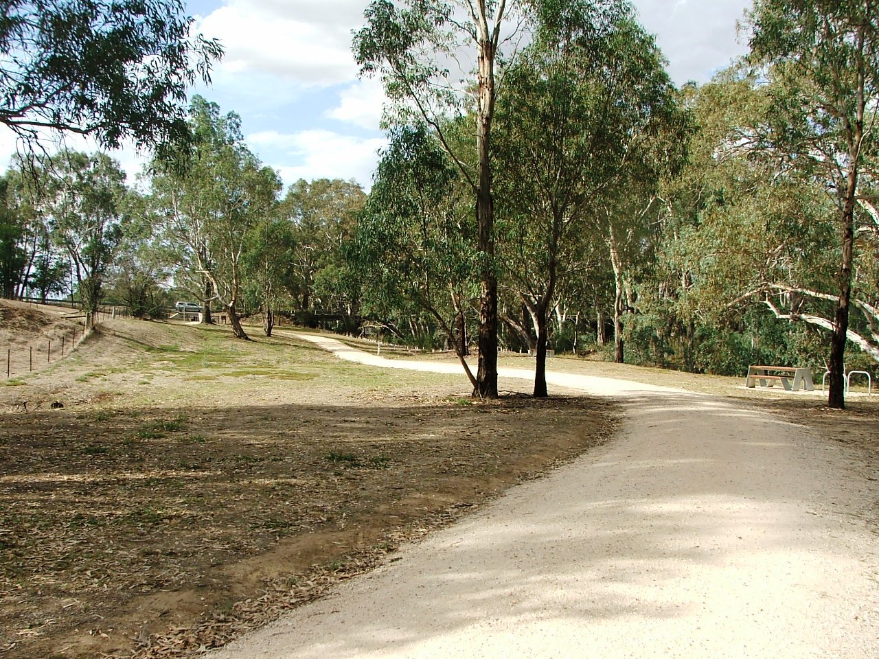
Campaspe River is ahead.
About to head towards McIvor Highway underpass.
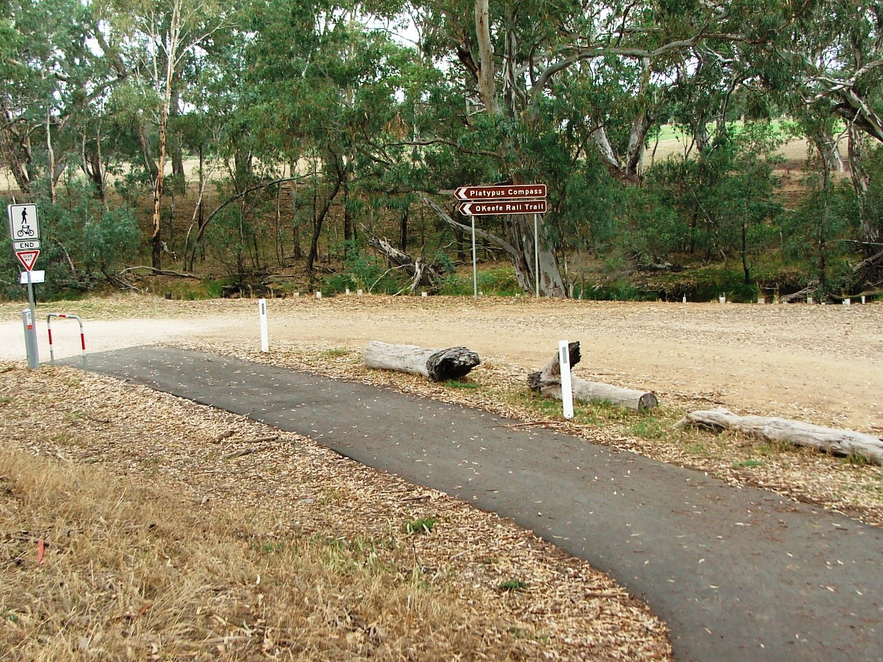
Towards the Platypus Compass.
Nearly there.
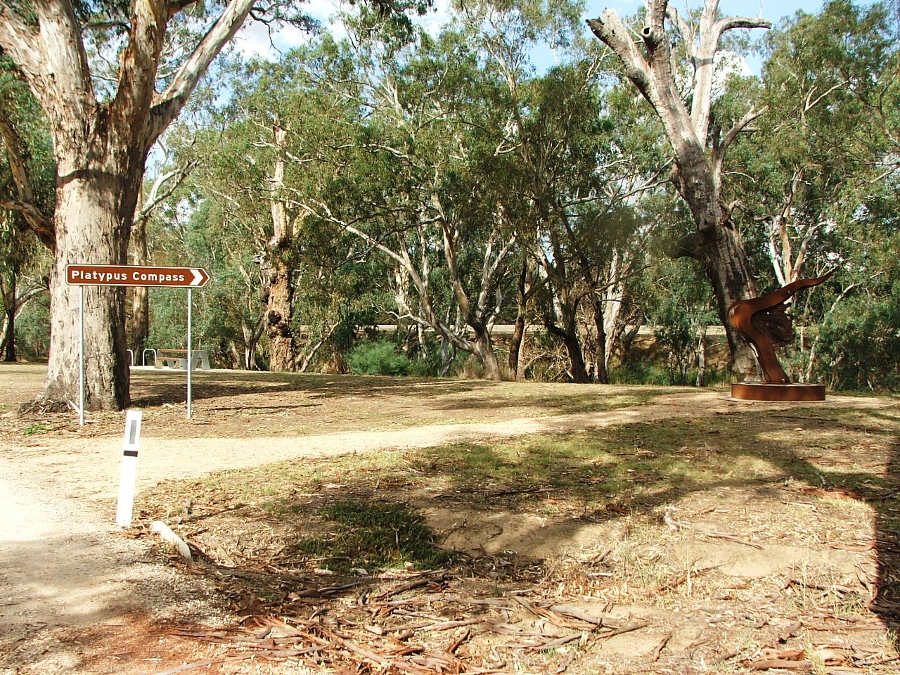
Platypus Compass.
McIvor Highway underpass ahead.
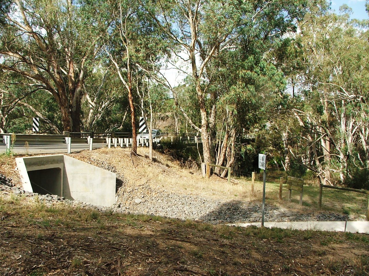
The underpass and the Campaspe River road bridge.
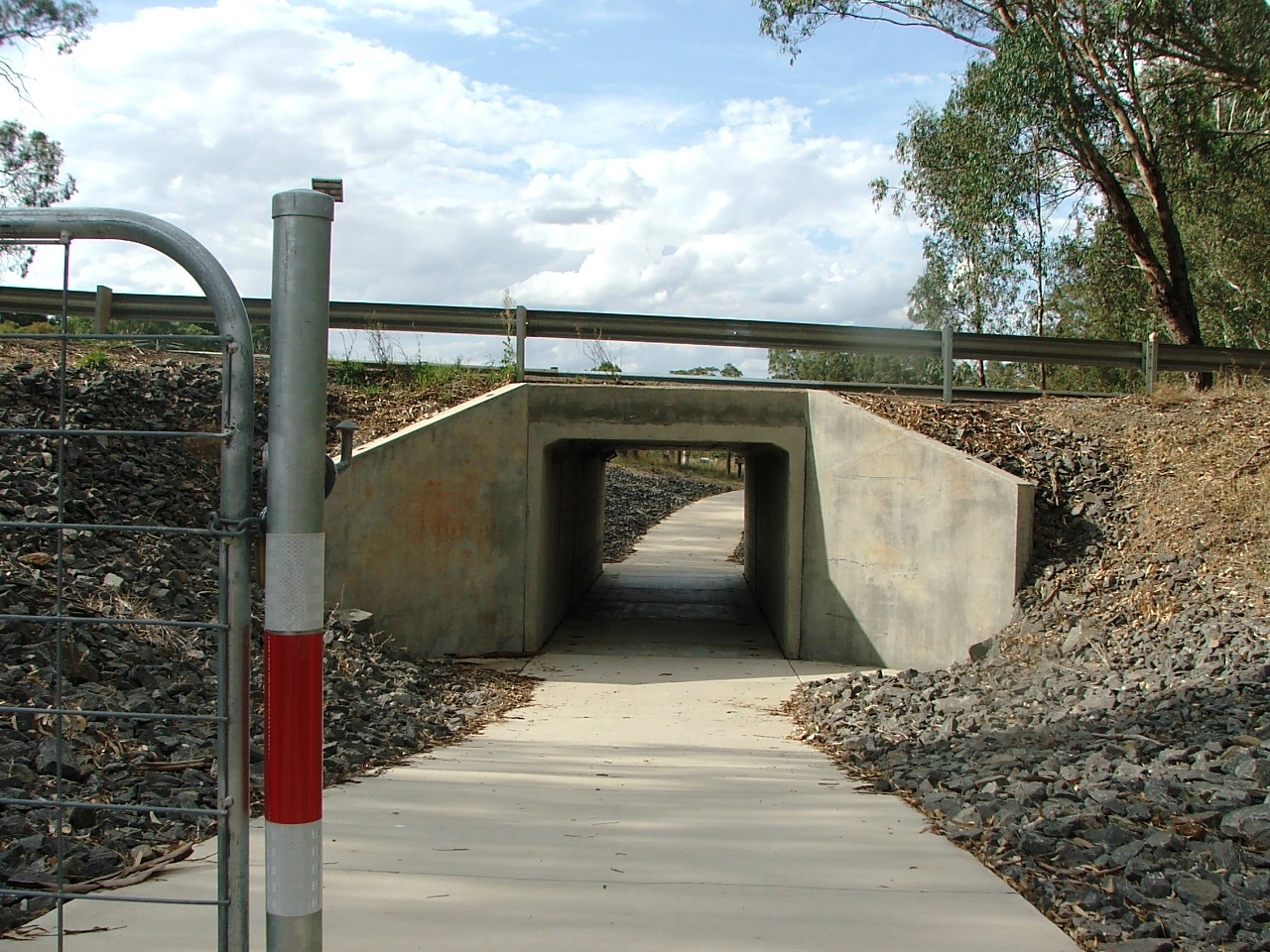
About to enter the underpass.
Out the other side.
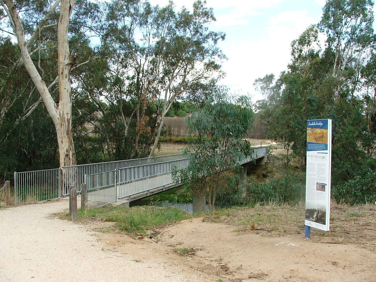
Rail Trail bridge over the Campaspe River.
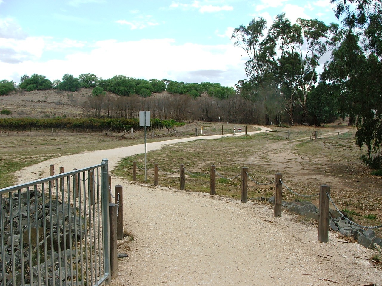
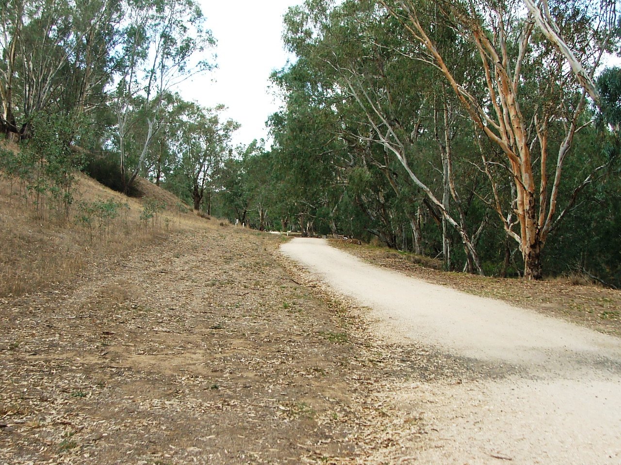
About to leave Campaspe Reserve and climb Ingham Hill.
Towards the Ingham Hill climb.
Left turn, low gear and climb the shared road of Ingham Hill.
Up Ingham Hill to Browne's Lane:
The corner at the top is not the end of the climb.
There's more around the corner.
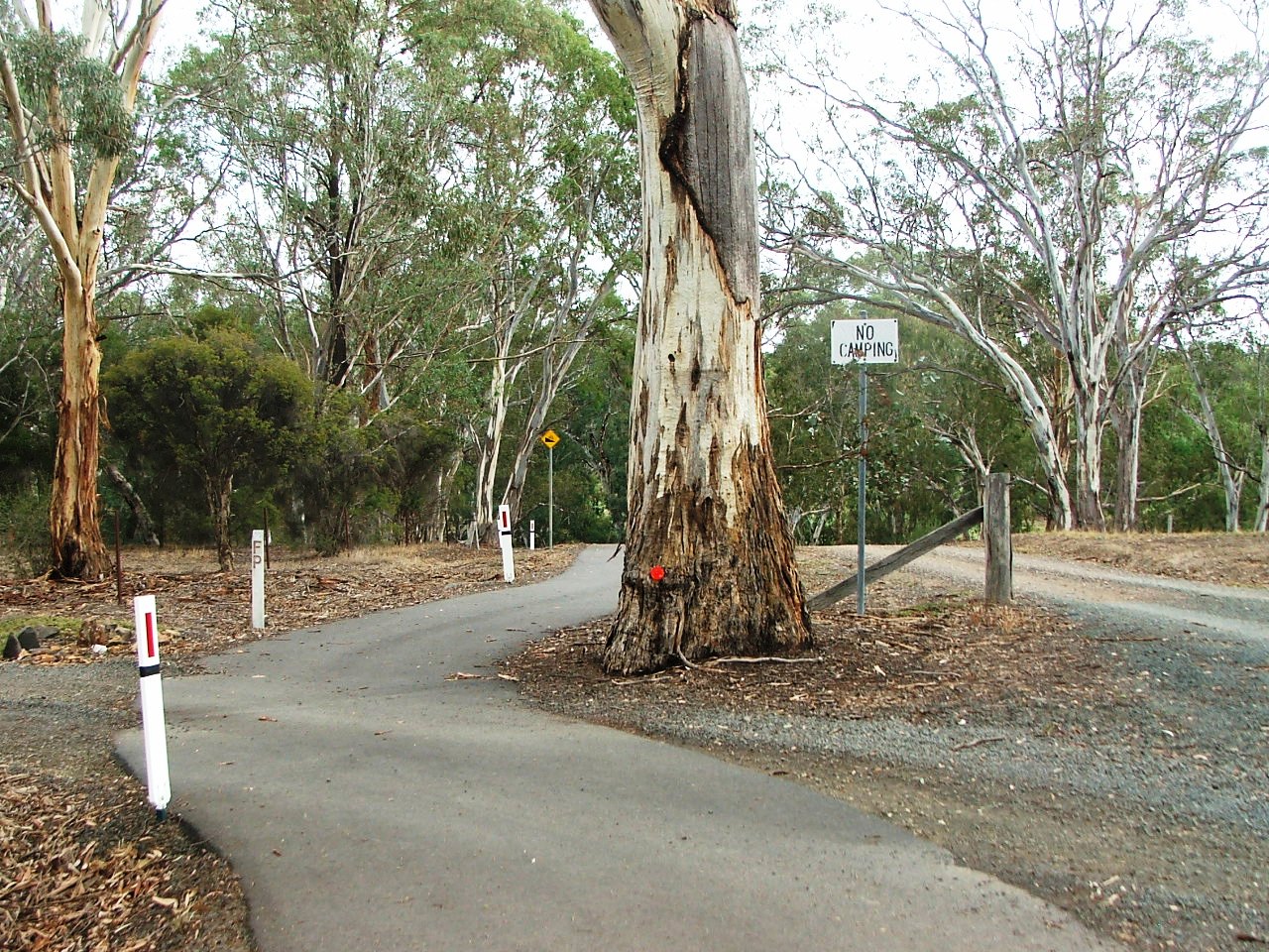
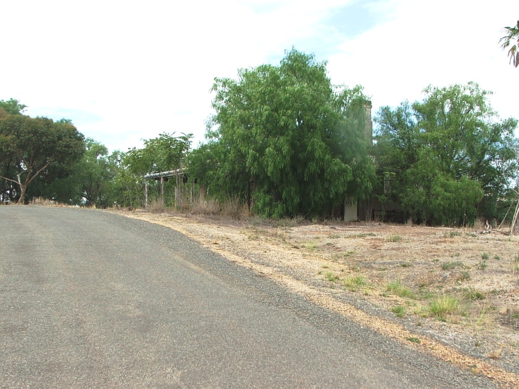
The entrance to Ingham's old quarry site.
Ingham's Quarry Hotel ruins ahead.
The ruins coming into view.
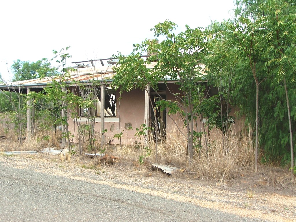
Napthali Ingham's Quarry Hotel ruins, disappearing fast - March 2016.
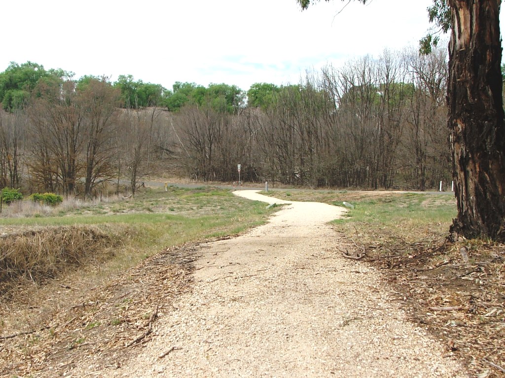
The top of the hill climb.
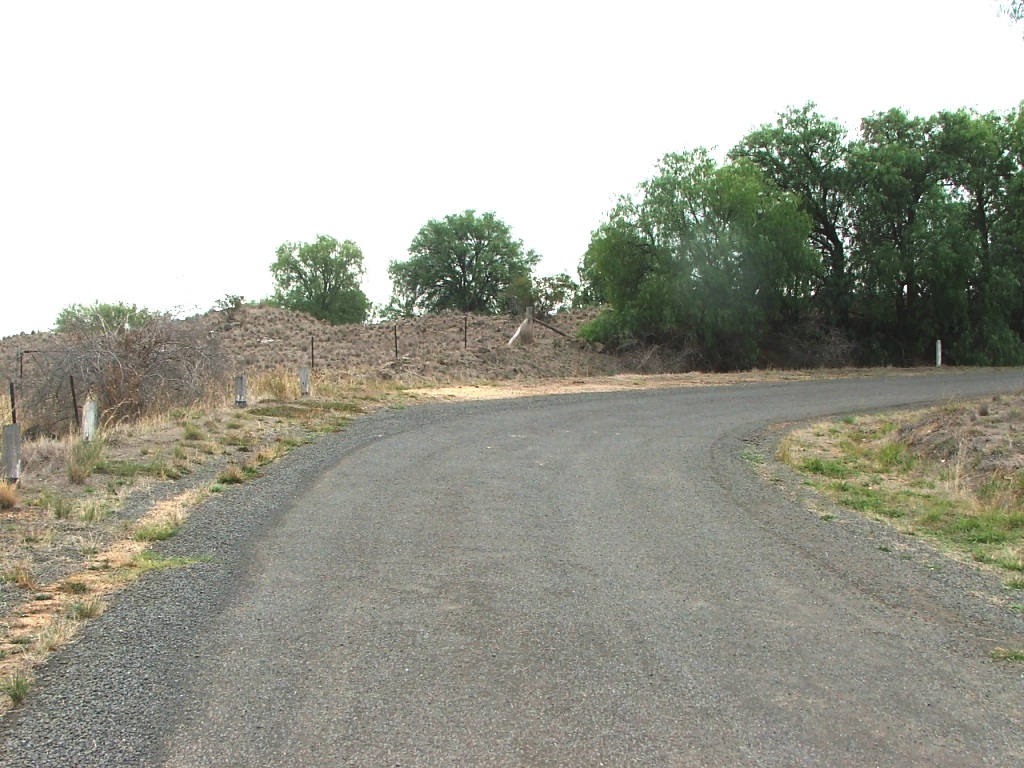
Straight and level for a while.
Continue straight ahead.
A bit of a dogleg.
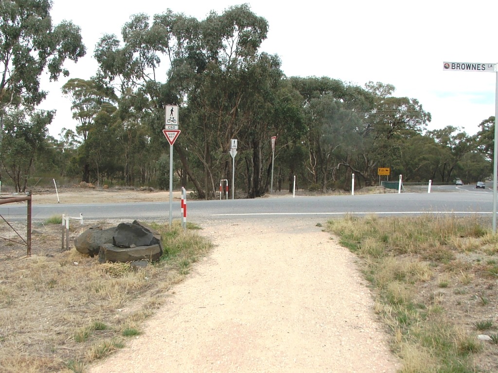
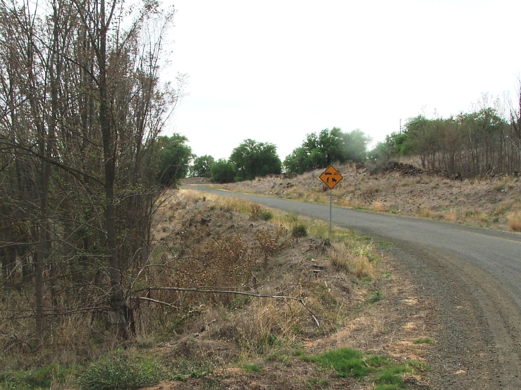
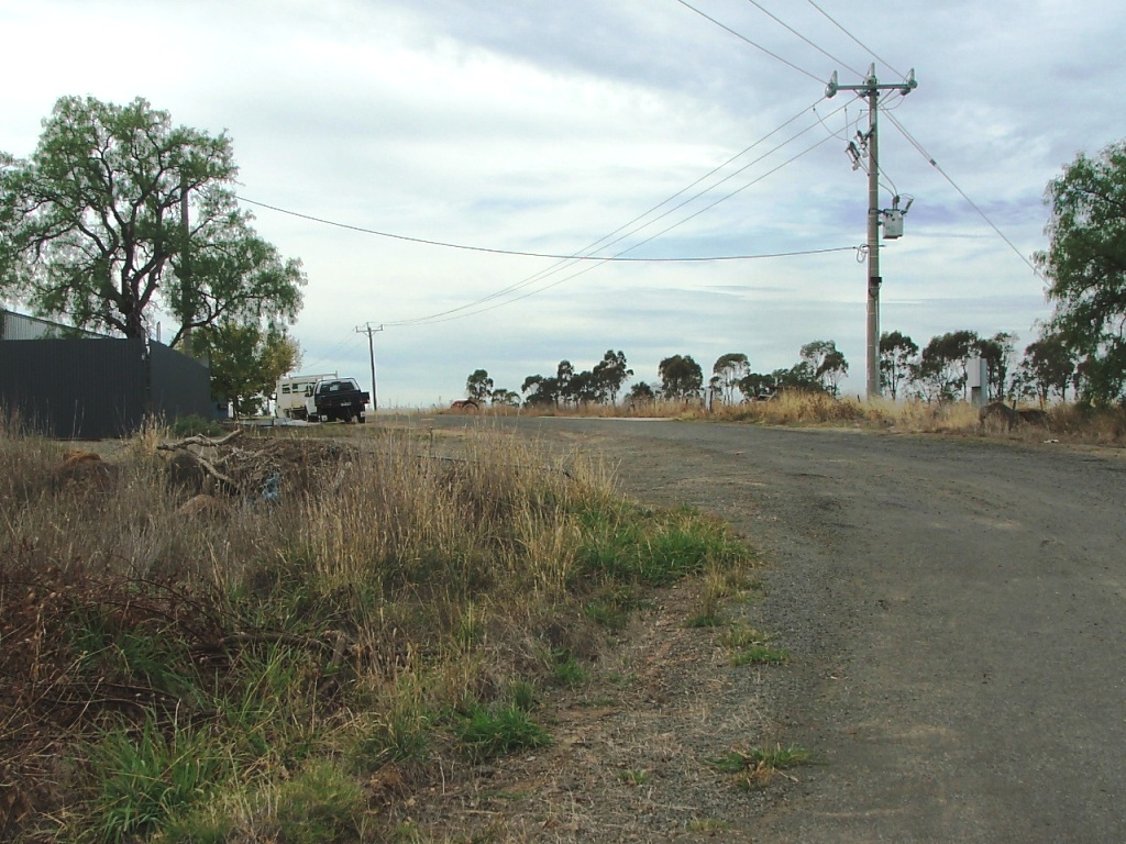
Browne's Lane crossing.
Browne's Lane to Ingham:
Towards McIvor Highway crossing.
Nearing the crossing.
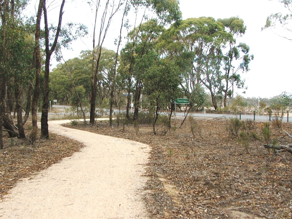
The crossing, near Toolleen Road intersection.
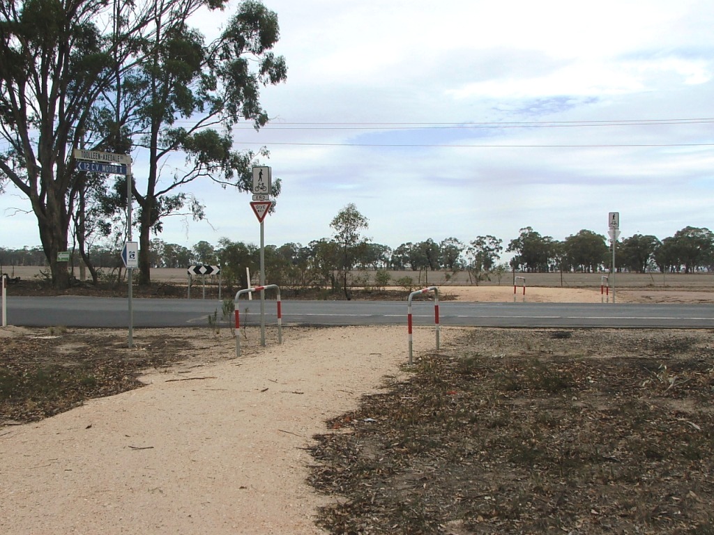
McIvor Highway crossing. Care required!
Heading towards the transformer.
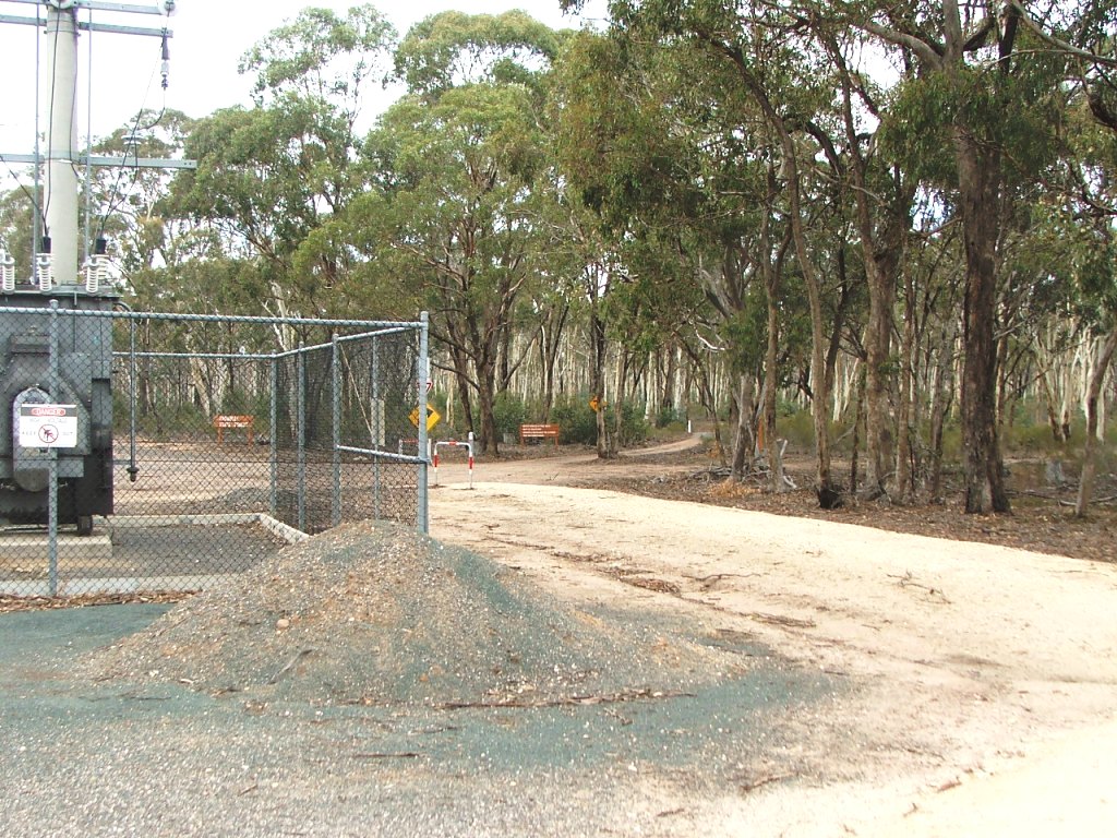
The transformer. Follow the track to the right in the image centre.
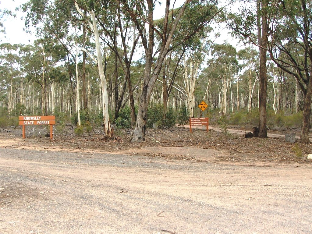
You will be entering the Knowsley State Forest.
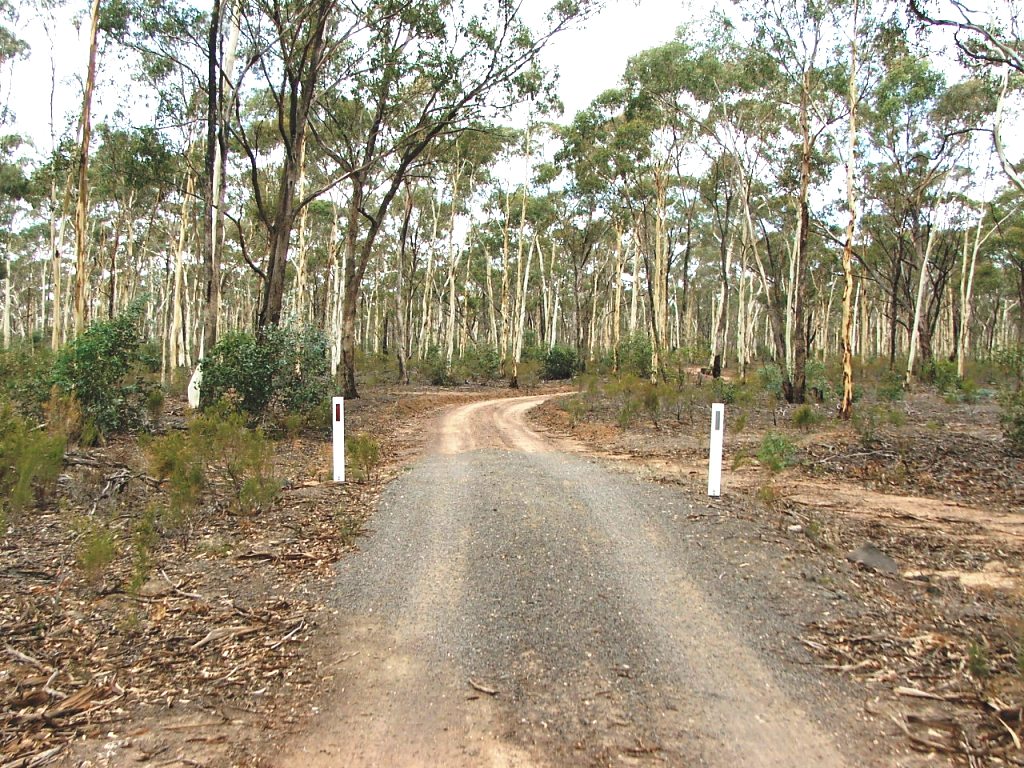
Along the shared Forest track.
Turn off the shared track.
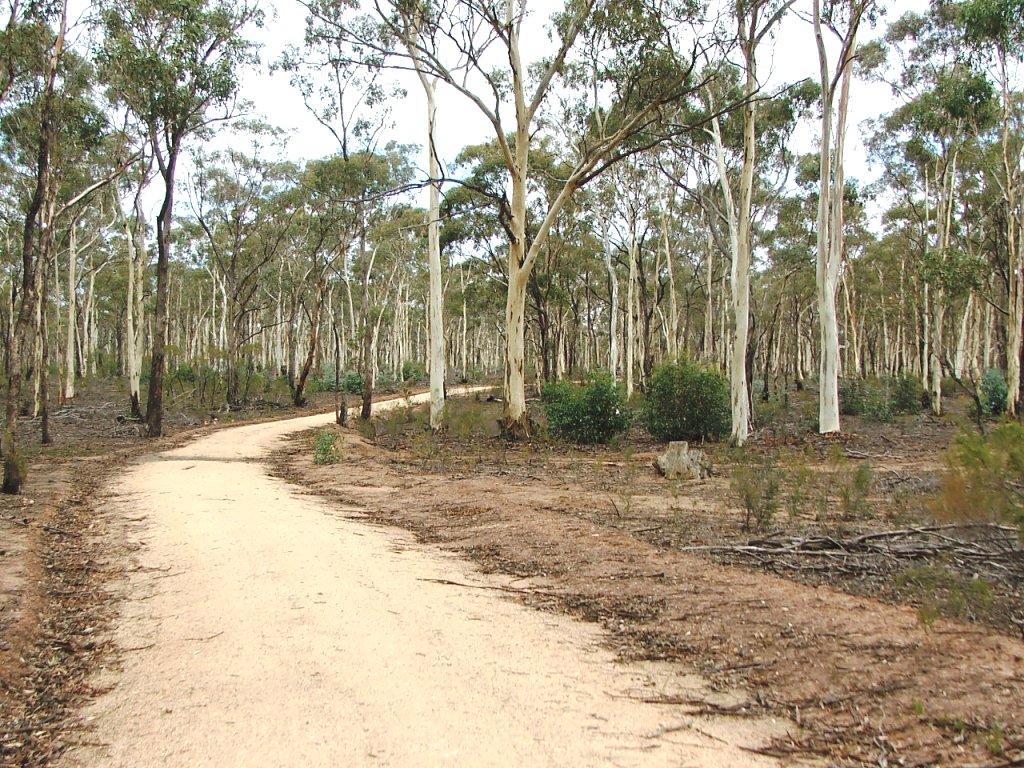
Continuing through the Forest.
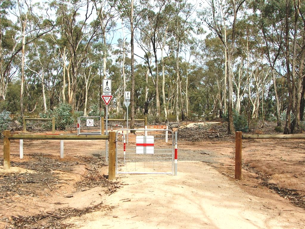
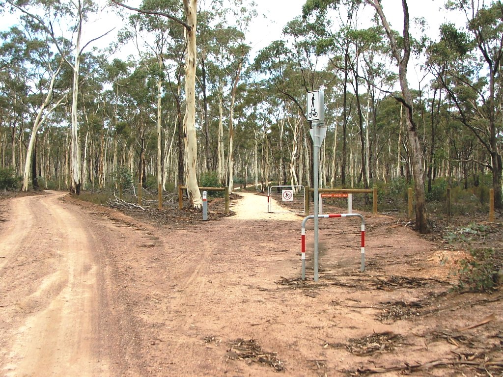
Smart Track crossing.
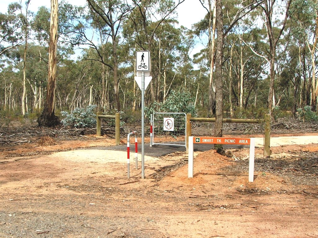
The Smart Track Picnic Area is a few hundred metres to the left.
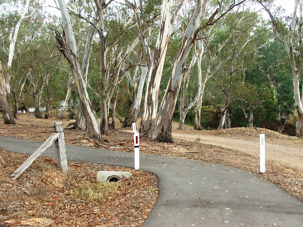
Heading towards Ingham Siding site.
The quarry and the rail bed at the Ingham Siding site is just ahead.