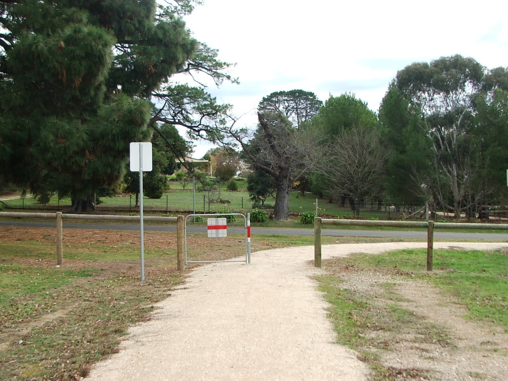
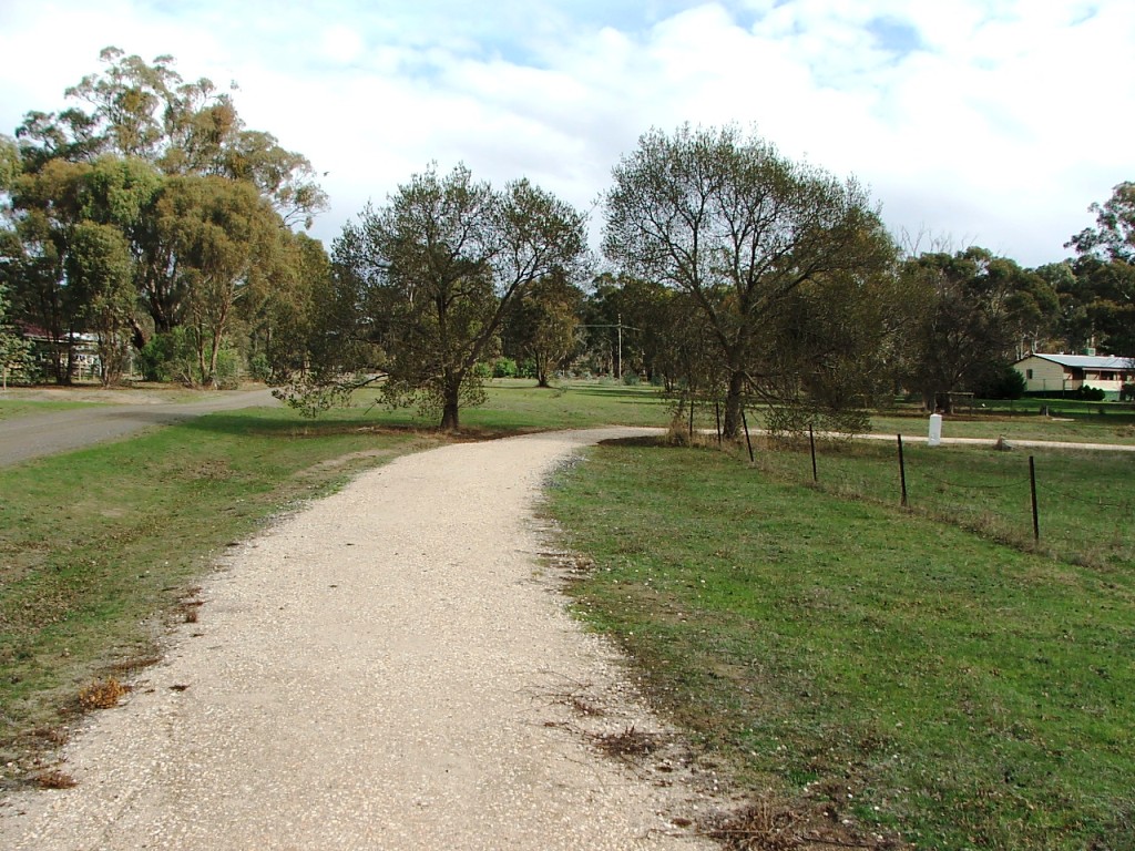
Approaching Pohlman Street.

Along Pohlman Street.
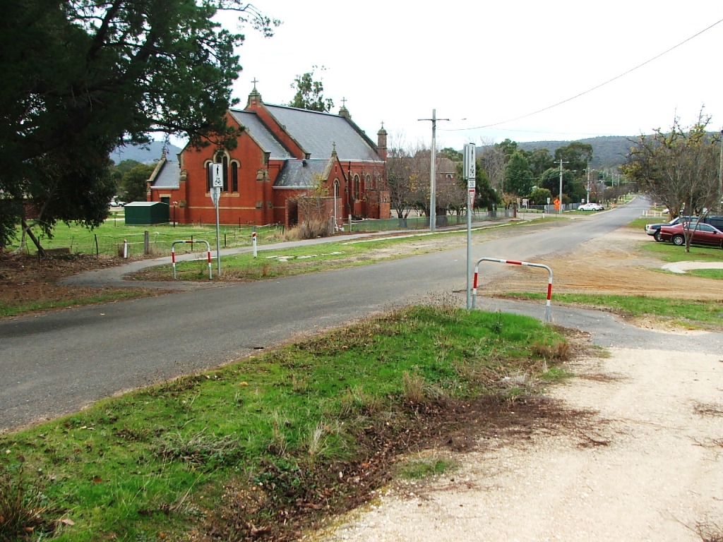
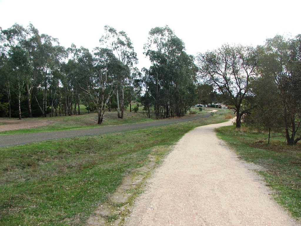
Crossing over Pohlman Street.
Crossing over Ebden Street.
Approaching Pohlman Street.
Along Pohlman Street.
Crossing over Pohlman Street.
Crossing over Ebden Street.
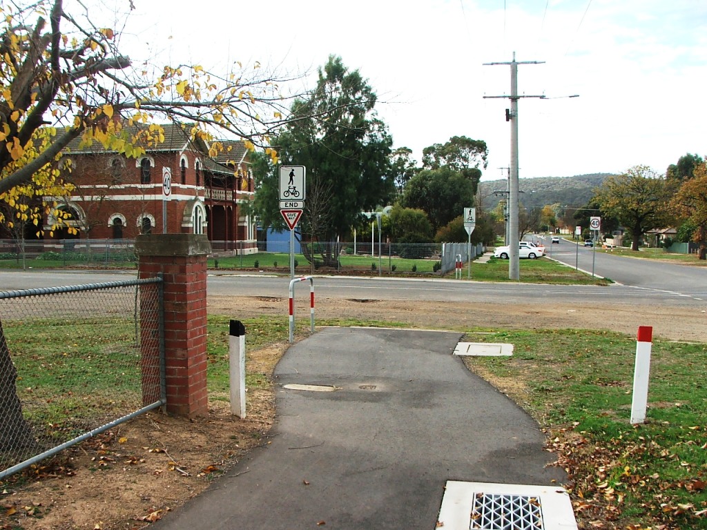
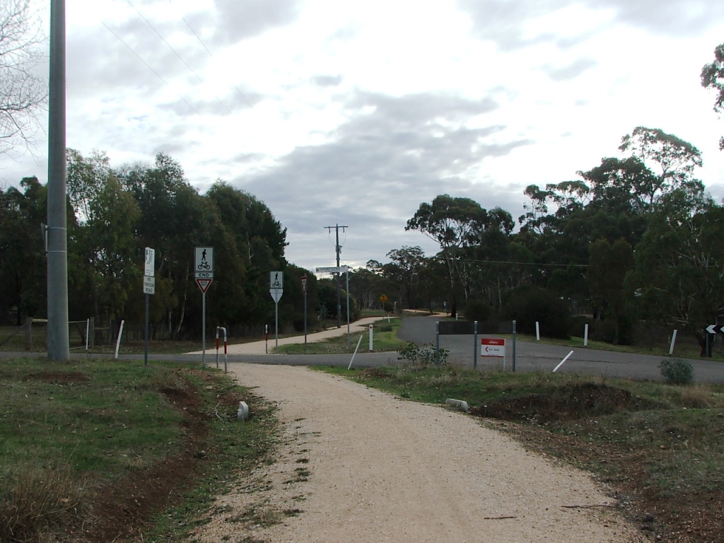
Towards the Mitchell Street crossing.
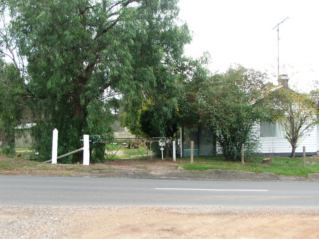
Gatekeepers' house in Mitchell Street. Line passed to the left.
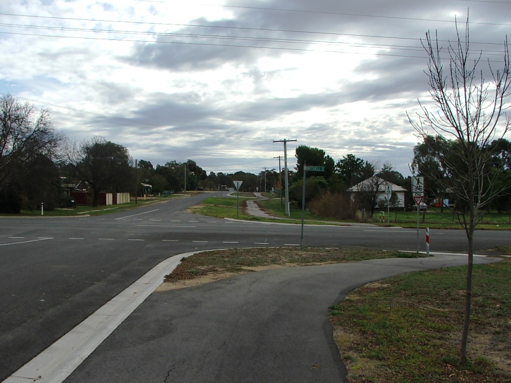
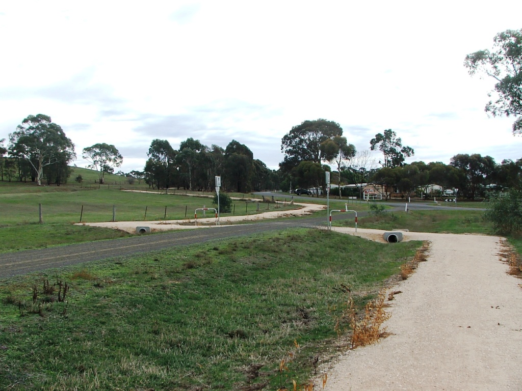
Crossing over Marshall Crescent.
Crossing back over Ebden Street.
Crossing over Ebden Street.
Heading towards the rail reserve and Marker Post 74.
Towards Flea and Baynton Streets intersection.
Crossing Brodie Street near Flea and Baynton Streets intersection.
Thompson's Lane crossing.
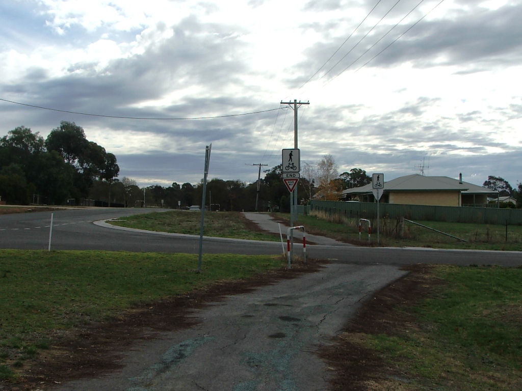
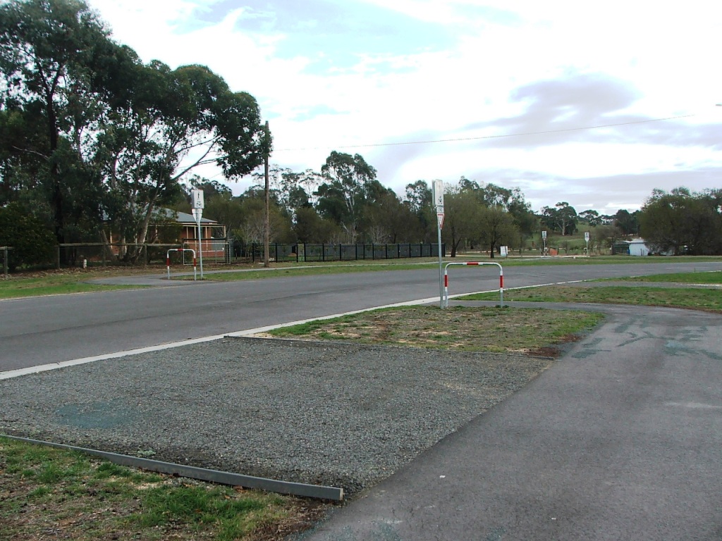
Towards the Speed and Flea Streets intersection.
Speed Street.
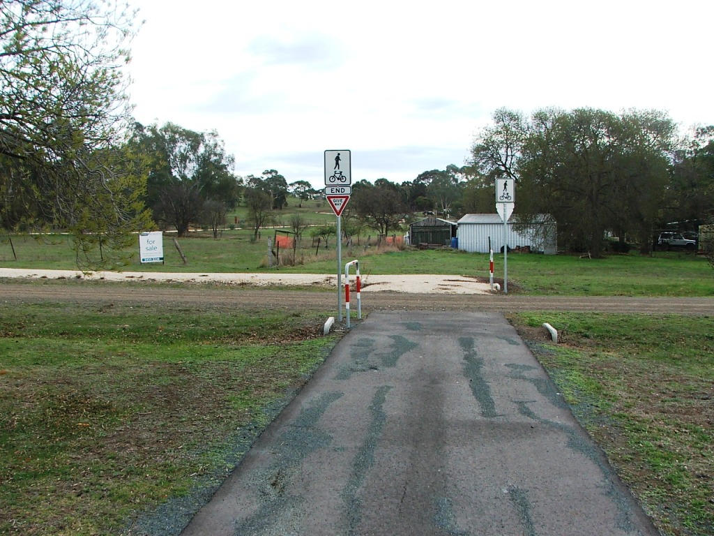
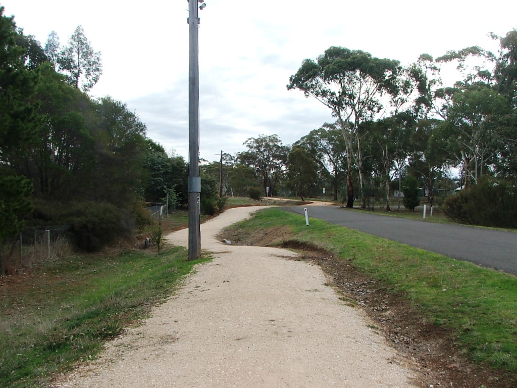
Towards the One Eye Forest.
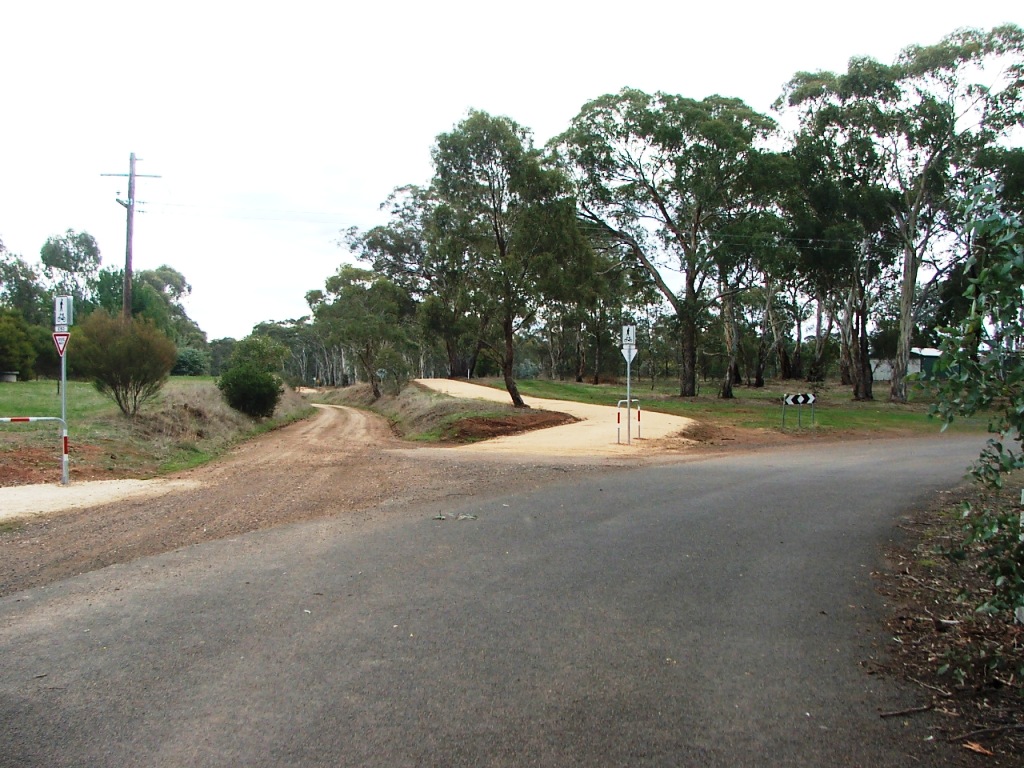
Through the One Eye Forest
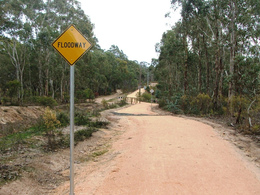
The next few kilometres traverse the One Eye Forest and crosses over four roads and a number of bridges and culverts. The first bridge encountered has the remains of a timber bridge beneath it.
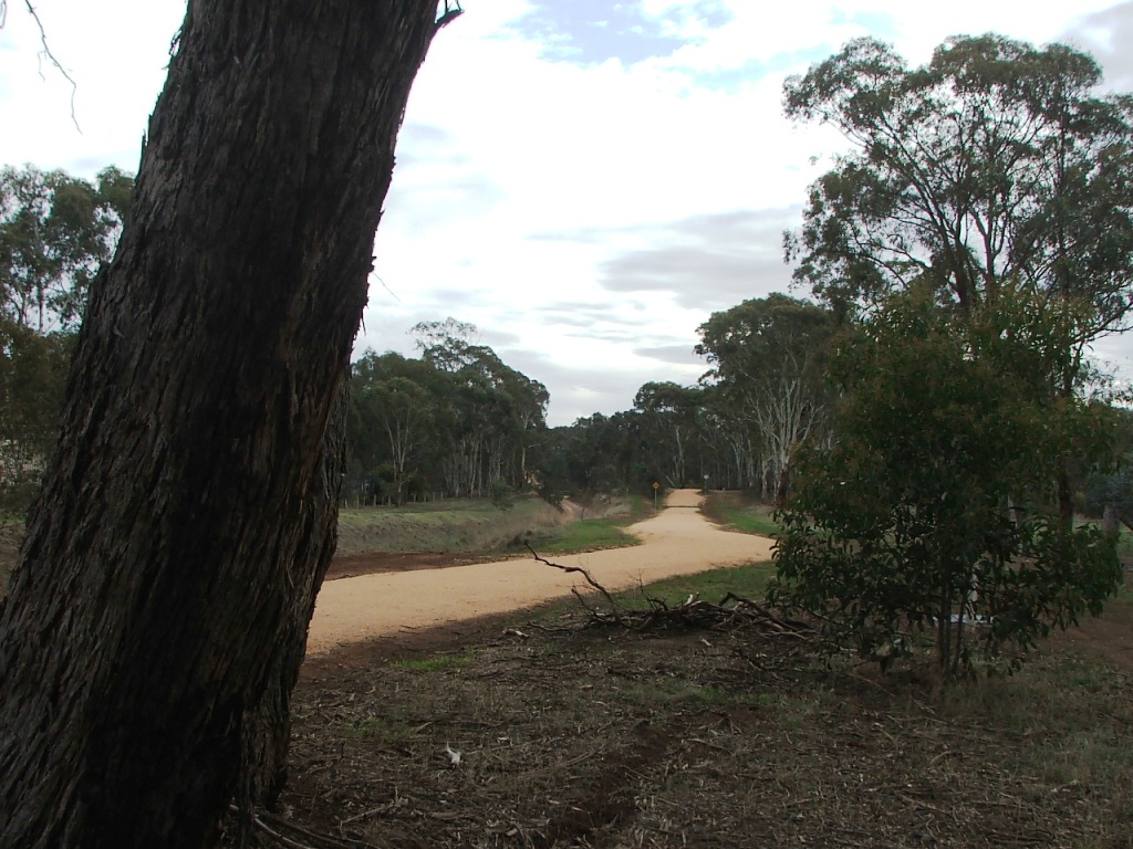
Entering the One Eye Forest.
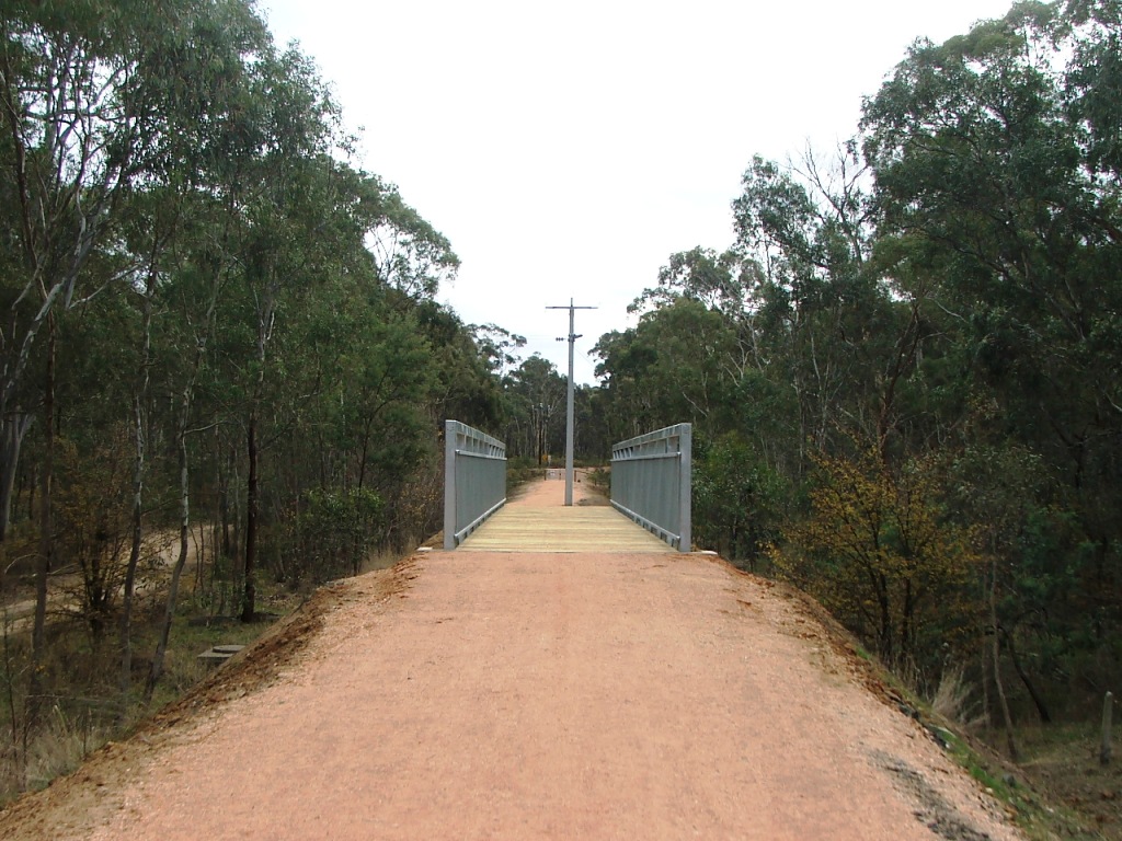
Trail bridge at Wattle Flat.
Near the sewerage treatment facility.
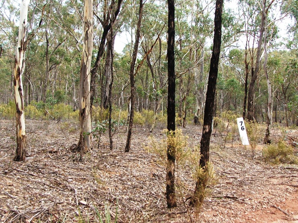
Marker Post 76 near One Eye Forest Road.

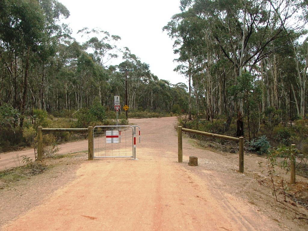
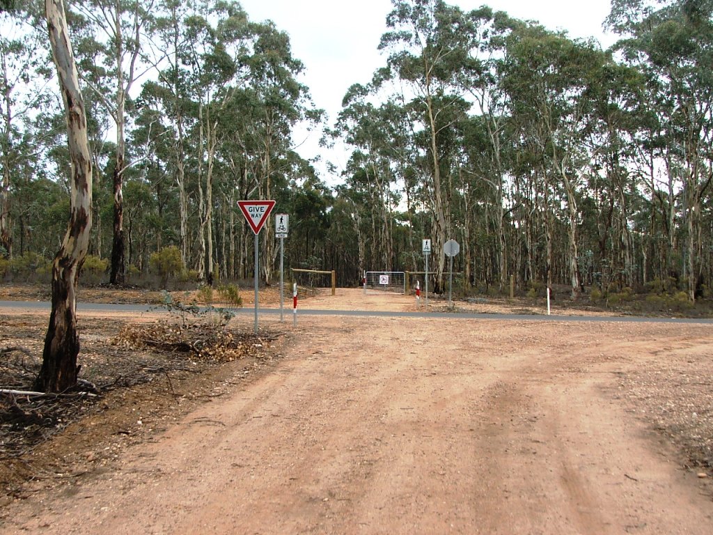
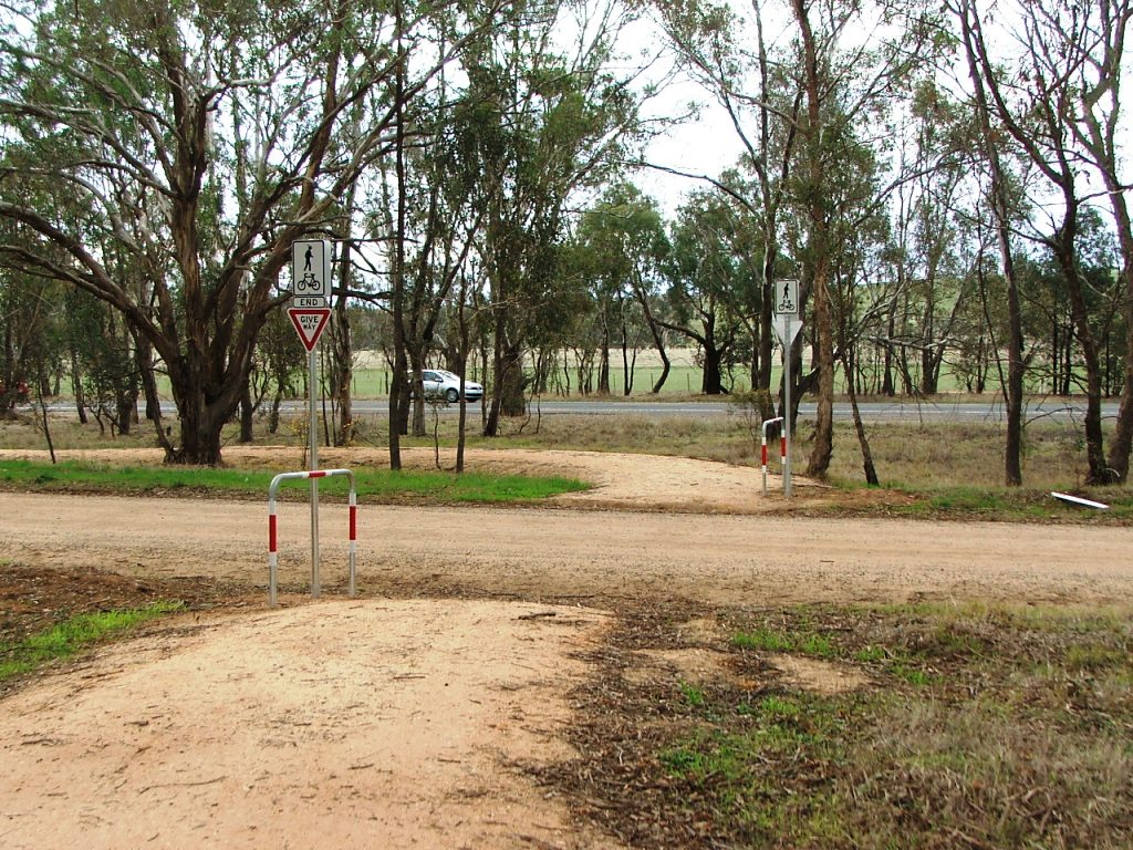
One Eye Forest Road crossing.
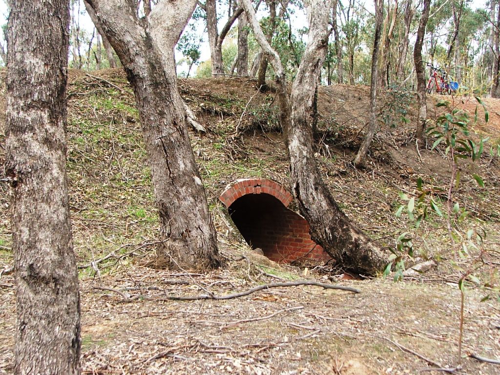
Brick culvert just past One Eye Forest Road.
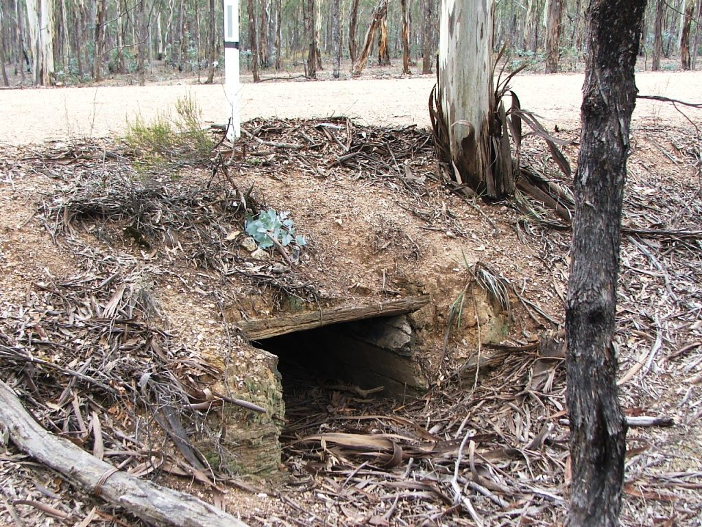
Old wooden culvert past the brick culvert.
Mia Mia Road crossing.
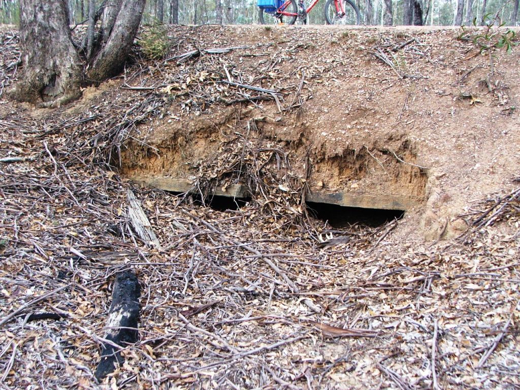
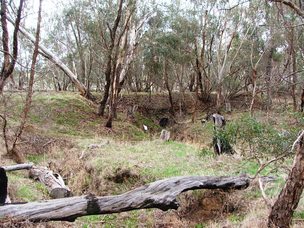
Old double culvert.

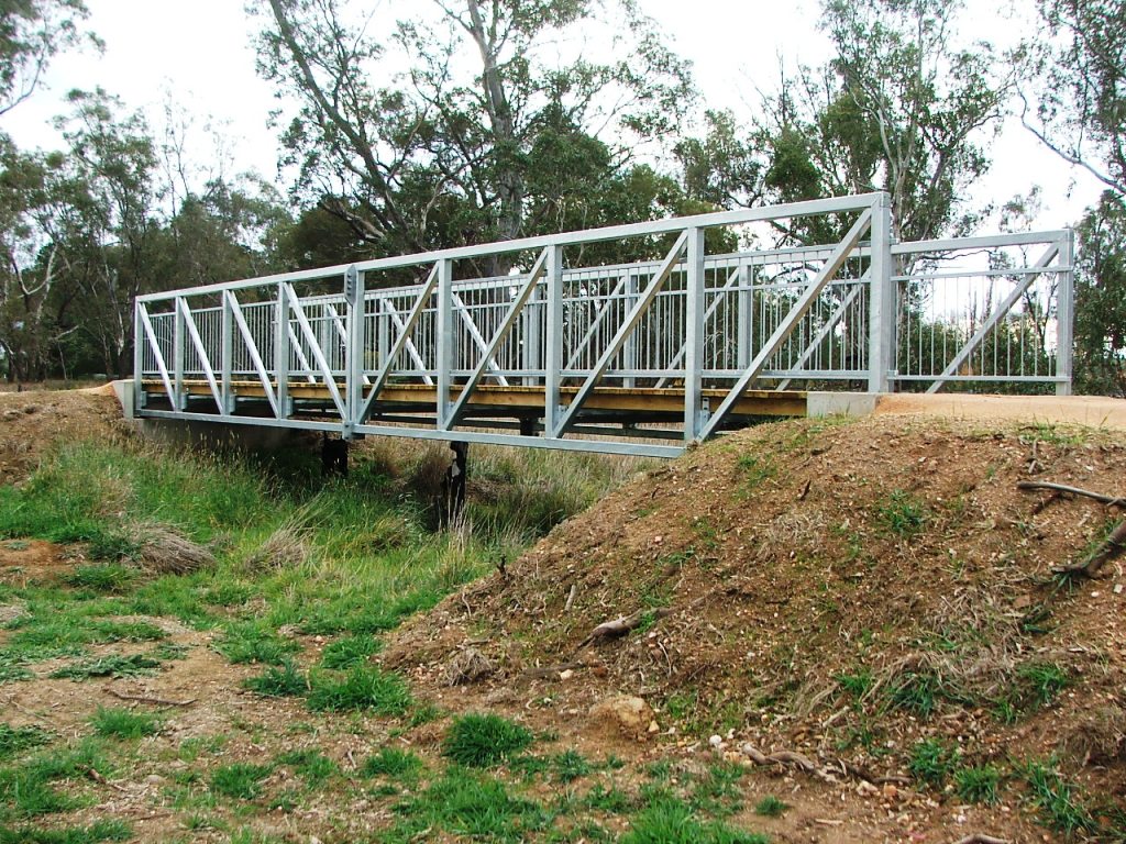
Concrete bridge.
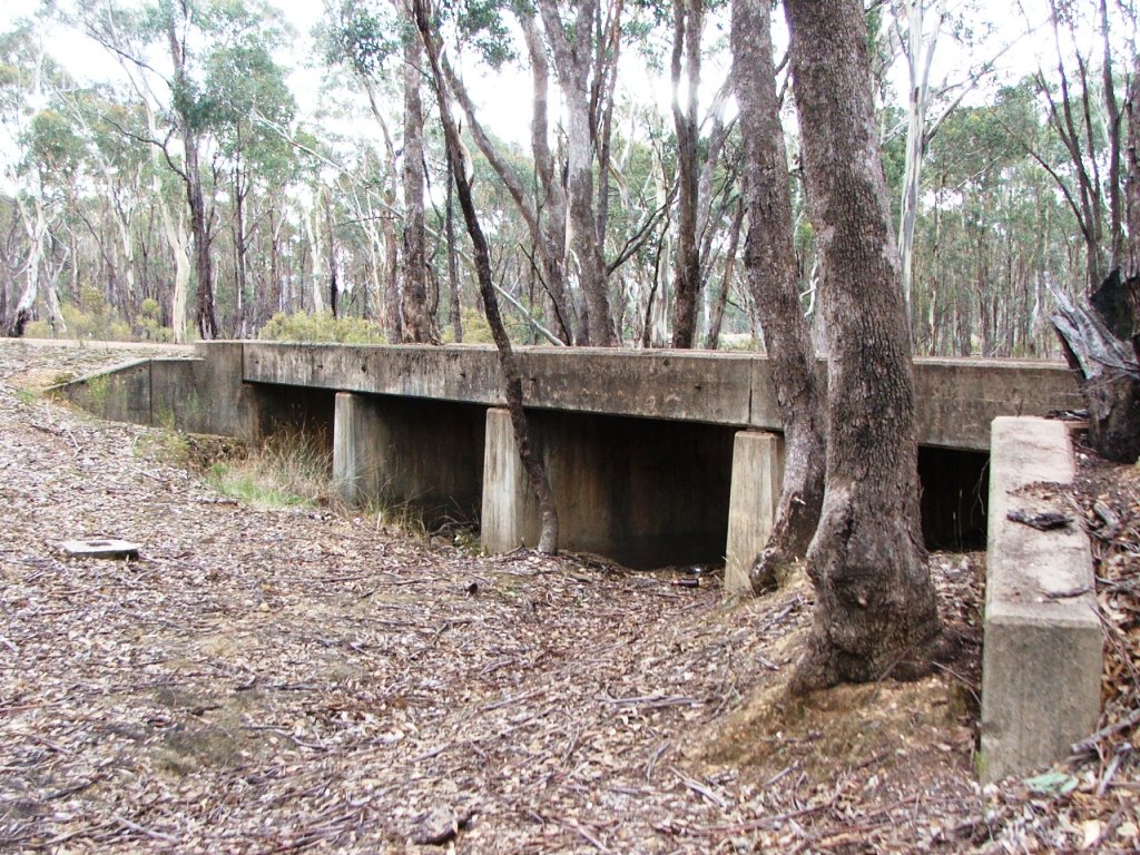
Another view of the concrete bridge.
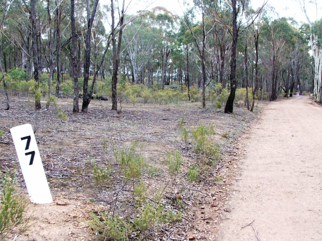
Marker Post 77 near Hills road.
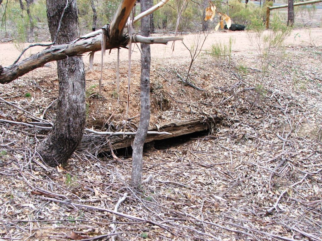
Double culvert near Hills Road.
Hills Road crossing. The Black Swan Hotel was at the North end.
Through a cutting towards Derrinal.
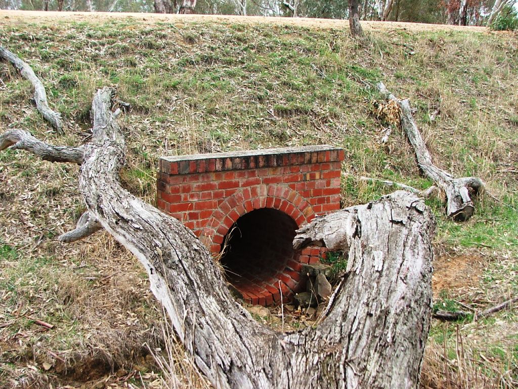
Brick culvert. Once a timber bridge.
Old road culvert near McIvor Highway.
Wallace Gully Bridge, approaching Derrinal.
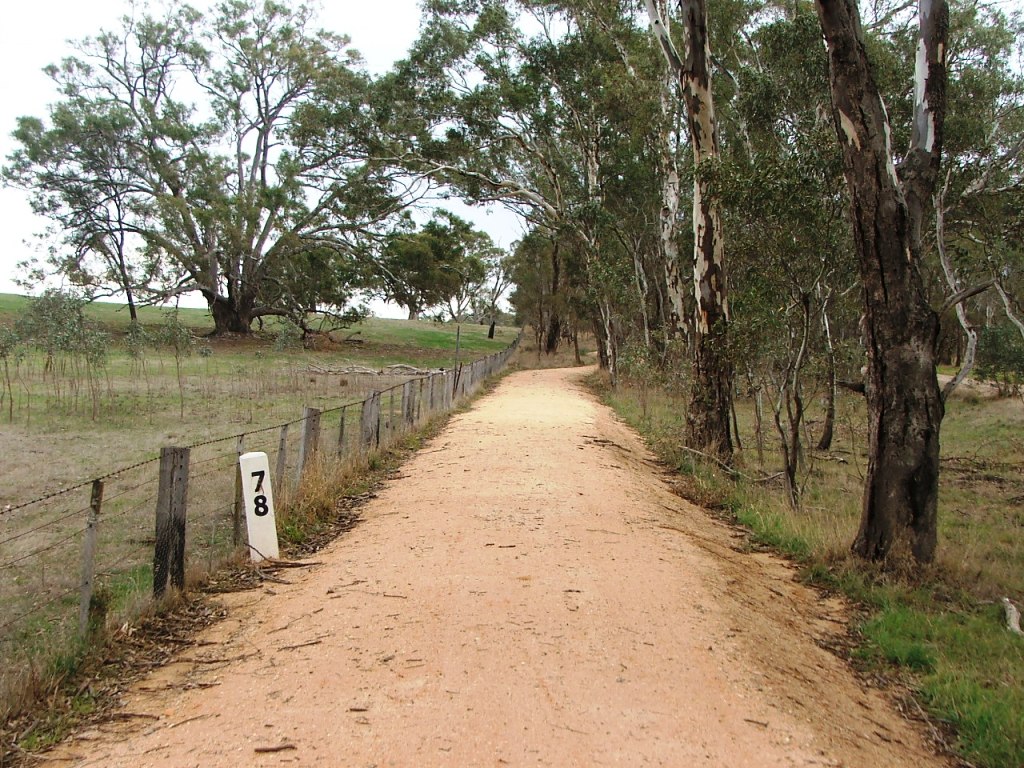
Marker Post 78, near Old Bendigo Road crossing.
Old Bendigo Road crossing.
Detail of the old McIvor Road.
Site selection
Location MenuBendigo direction
Derrinal StationHeathcote direction
Towards Heathcote