Down - Old McIvor Road


The layout of many roads in the days of the rail line was considerably different to that which exists today. Other than those that were specifically laid out for existing requirements, or those planned for future use, roads from one district to the next were simply the most expedient and grew out of the tracks most travelled. The construction of the line resulted in many minor roads being closed, others diverted, roads that were important enough were made into Public Carriage Roadway (PCR) Crossings and Occupation Crossings were provided so that landowners could cross the line where it passed through their properties. The main road between Heathcote and Sandhurst (Bendigo) started life as a simple track which slowly grew in stature as traffic increased. Loaded bullock teams would have avoided challenging hillclimbs as the means of levelling them did not exist until after the roads were well established.

The section of the McIvor Highway or McIvor Road as it was once known, from the Heathcote end of Derrinal Station to today's Moorabbee Foreshore Road, is a section that was constructed after the line closure in 1958. Prior to that, the main road in this area followed the less challenging route across less undulating countryside. It consisted of what can now be viewed in three separate sections. A few images, all taken in April, 2016, will illustrate.


Near Derrinal Station to Lake Eppalock

A section to the Eastern side of Lake Eppalock which is now known as Old Bendigo Road which contains an intersection with the entrance to Derrinal Station, now named Derrinal Station Lane, and an intersection with Derrinal Crosbie Road which ran to the North, crossing the rail line.

imagesrail/dscf9694.jpg

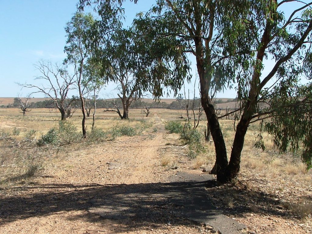
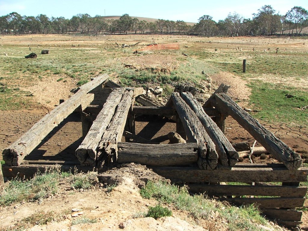
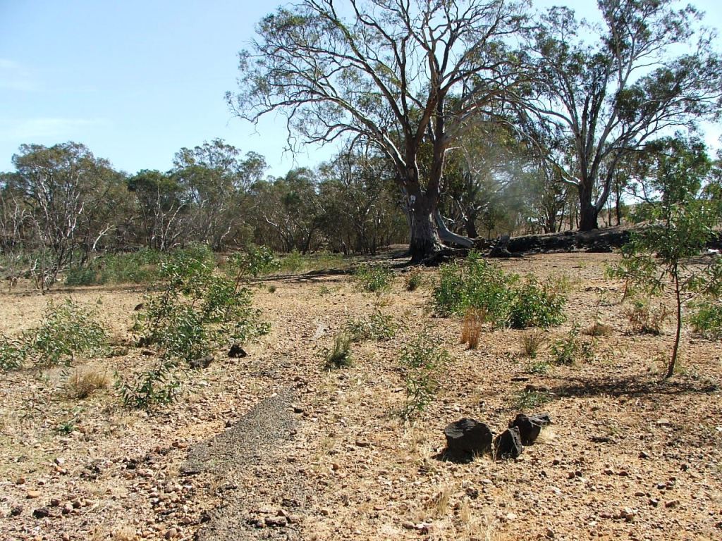
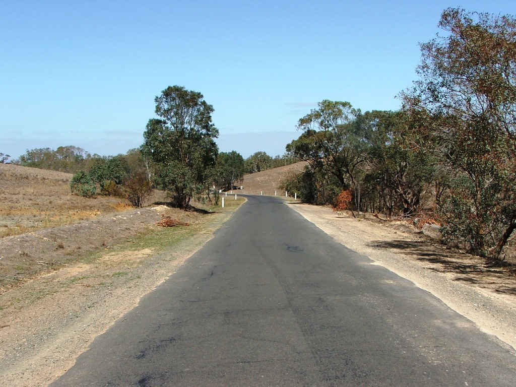
The line continued across McIvor Road, however the road beyond this point is different re-alignment.

imagesrail/dscf9799.jpg

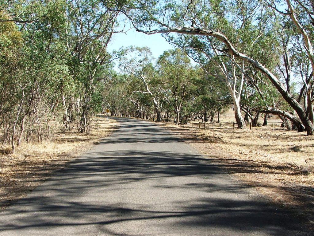
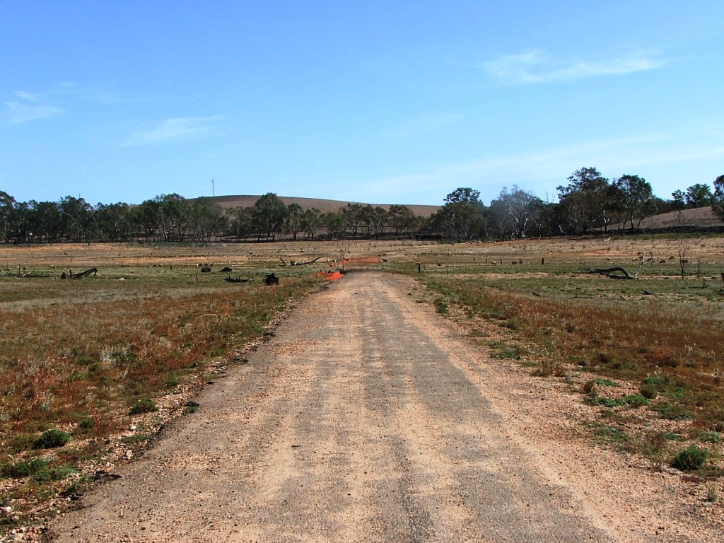
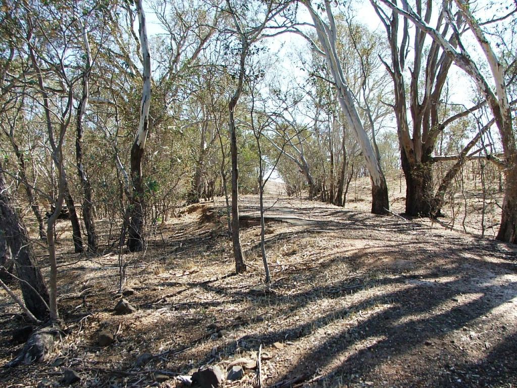
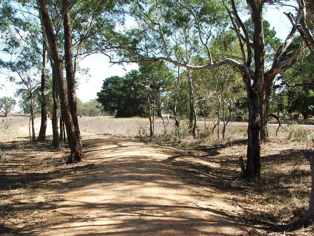
The old road continues straight ahead. Today's alignment is to the right.

imagesrail/dscf9801.jpg

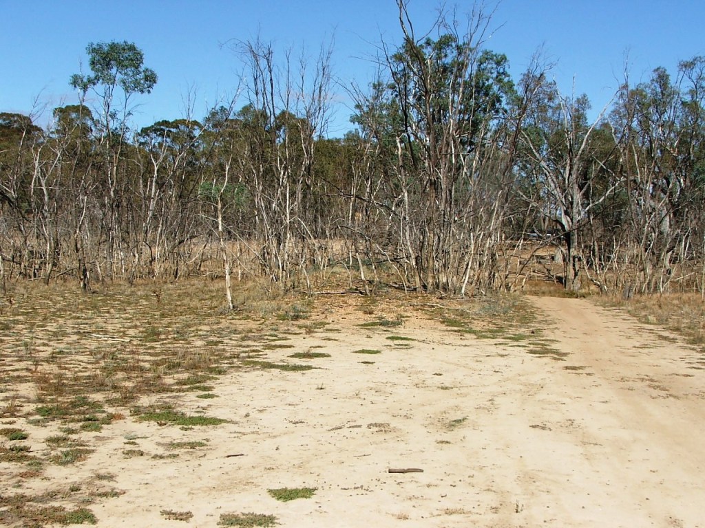
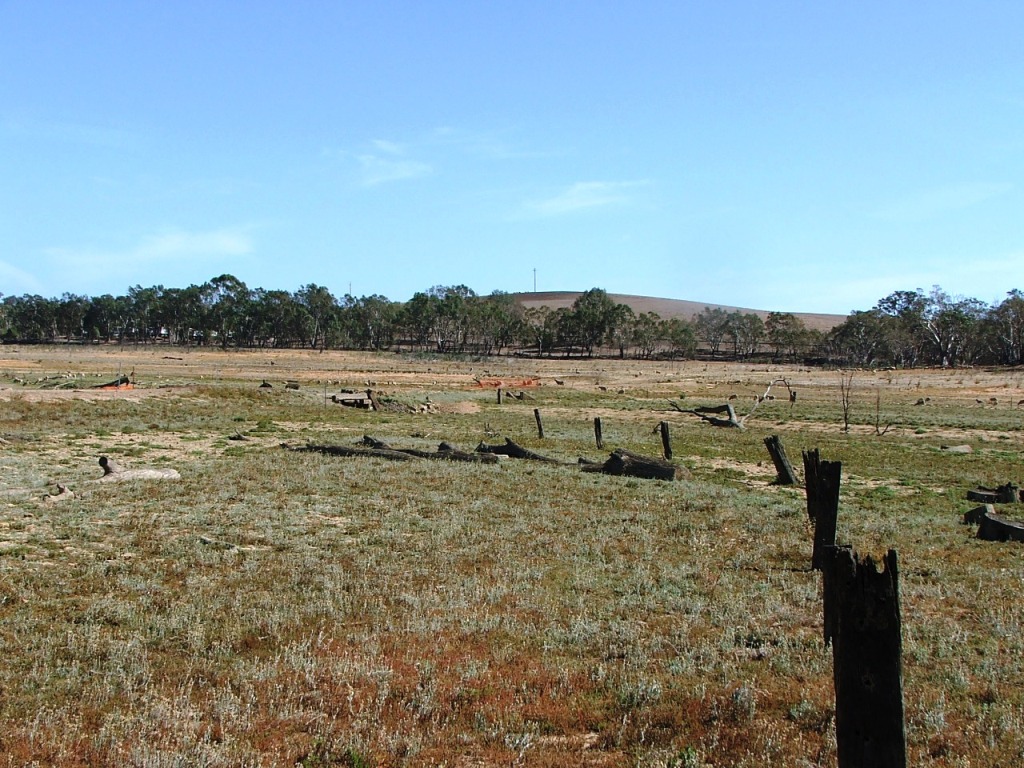
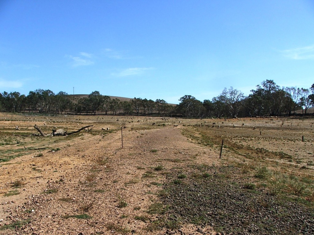
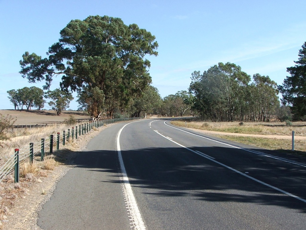
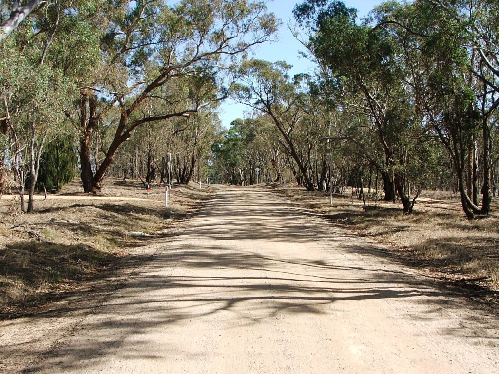
The old to the left, and the new to the right.

imagesrail/dscf9800.jpg

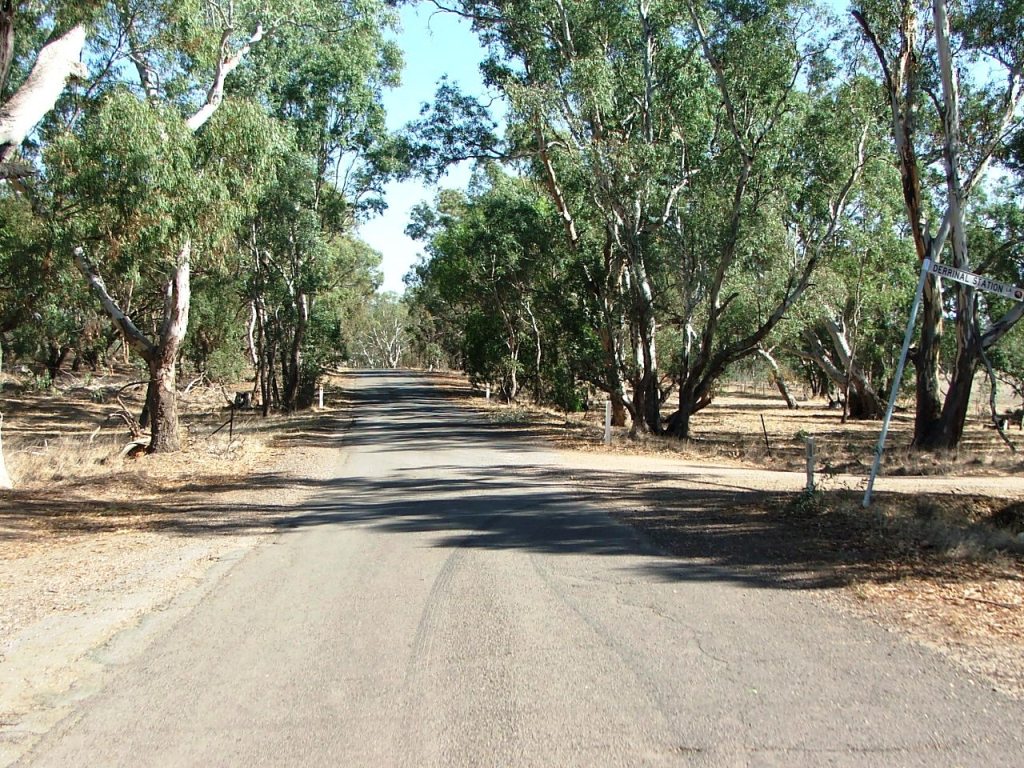
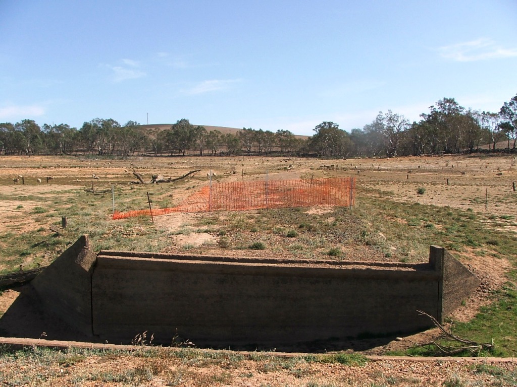
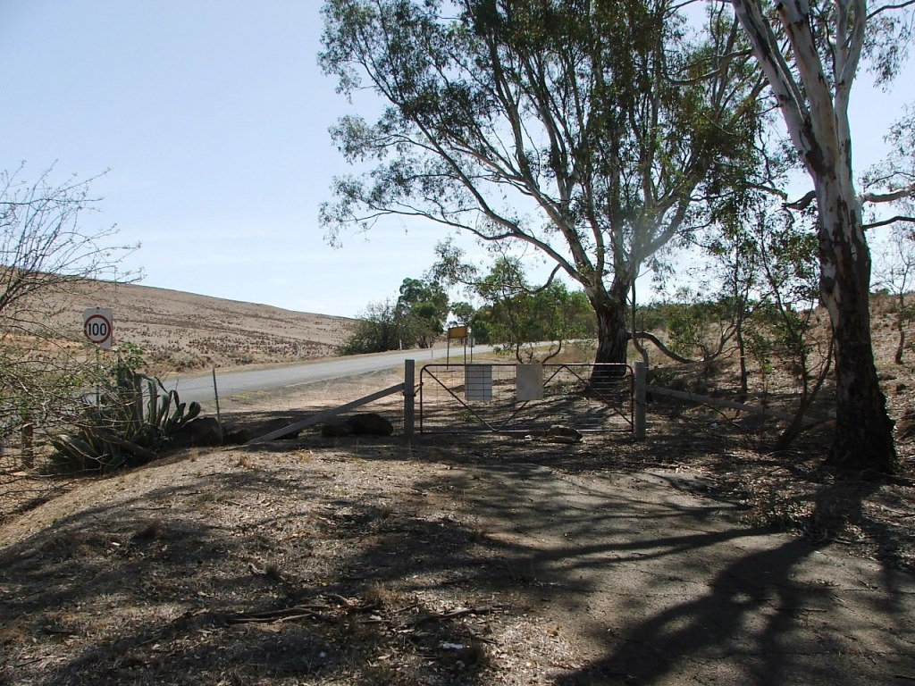
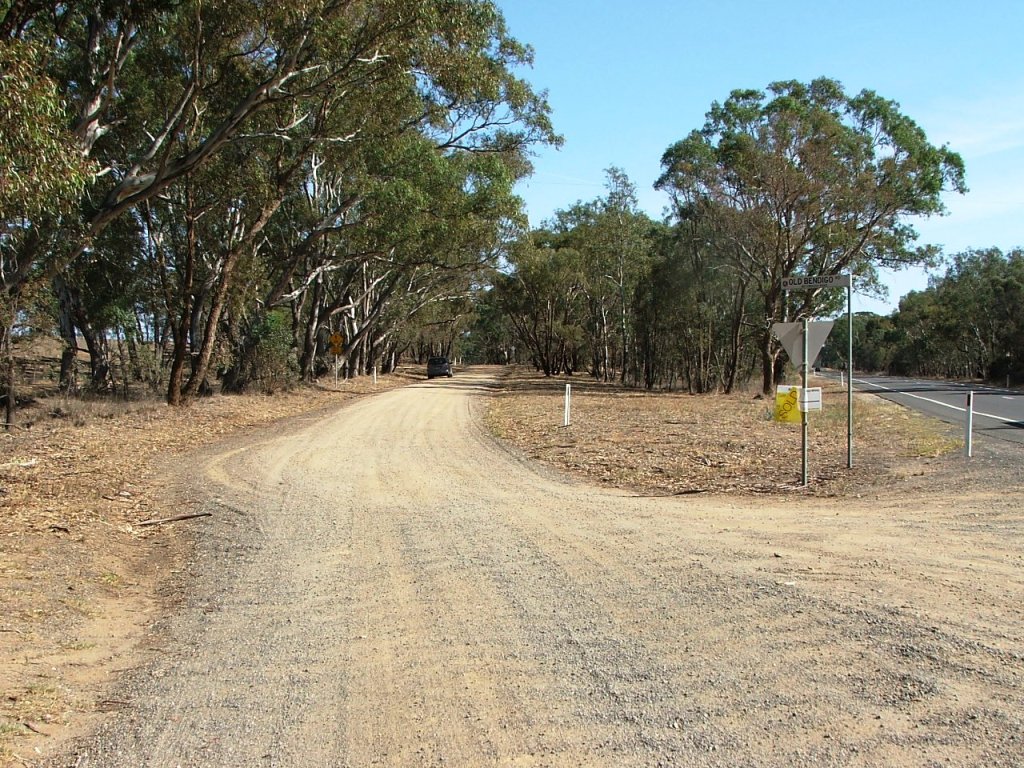
O'Keefe Rail Trail crossing.


imagesrail/dscf9803.jpg

Derrinal Station entrance road to the right, today's Derrinal Station Lane.

imagesrail/dscf9804.jpg

Continuing towards Lake Eppalock.

imagesrail/dscf9805.jpg

O'Keefe Rail Trail bridge over Mt. Ida Creek in the distance.

imagesrail/dscf9806.jpg

A short section of the old McIvor Road beside today's Old Bendigo Road.


imagesrail/dscf9807.jpg

Derrinal-Crosbie Road bridge near intersection with Old Bendigo Road, looking towards the O'Keefe Rail Trail.

imagesrail/dscf9811.jpg

Derrinal-Crosbie Road towards the Rail Trail and Crosbie.

imagesrail/dscf9812.jpg

Straight ahead to Old Bendigo Road over the bridge.

imagesrail/dscf9815.jpg

A view of the old bridge, towards Old Bendigo Road.


imagesrail/dscf9868.jpg

Today's road ends before entering Lake Eppalock Reserve.


Lake Eppalock - normally submerged

A section that is normally under water, within which it crossed two bridges associated with Mt. Ida Creek.

imagesrail/dscf9818.jpg

The Eastern side of Lake Eppalock.

imagesrail/dscf0251.jpg

Same area, October 4, 2016.

imagesrail/dscf9820.jpg

Heading towards the middle of the Northern end of the lake.

imagesrail/dscf9821.jpg

Two bridges in the distance.


imagesrail/dscf9822.jpg

House ruins exist in this area to the right of the road.

imagesrail/dscf9829.jpg

Old bridges ahead.

imagesrail/dscf9831.jpg

Line of old fence posts leading towards first bridge.

imagesrail/dscf9833.jpg

The first bridge.


imagesrail/dscf9836.jpg

A view from the North side.

imagesrail/dscf9838.jpg

The second bridge.

imagesrail/dscf9839.jpg

A view from the North.

imagesrail/dscf9841.jpg

Continuing towards the Western side of the lake.


imagesrail/dscf9842.jpg

And a little further along.

imagesrail/dscf9843.jpg

Only gravel evidence remains here.

imagesrail/dscf9844.jpg

More visible bitumen.

imagesrail/dscf9848.jpg

Quite a bit has washed away here.


imagesrail/dscf9850.jpg

The gate at Moorabbee Foreshore Road.


Moorabbee Foreshore Road

A short section of today's Moorabbee Foreshore Road on the Western side of Lake Eppalock, connecting to today's McIvor Highway.

imagesrail/dscf9870.jpg

Towards today's McIvor Highway.


This site is hosted by CoffeeCup S-Drive.
Comments and suggestions may be e-mailed to