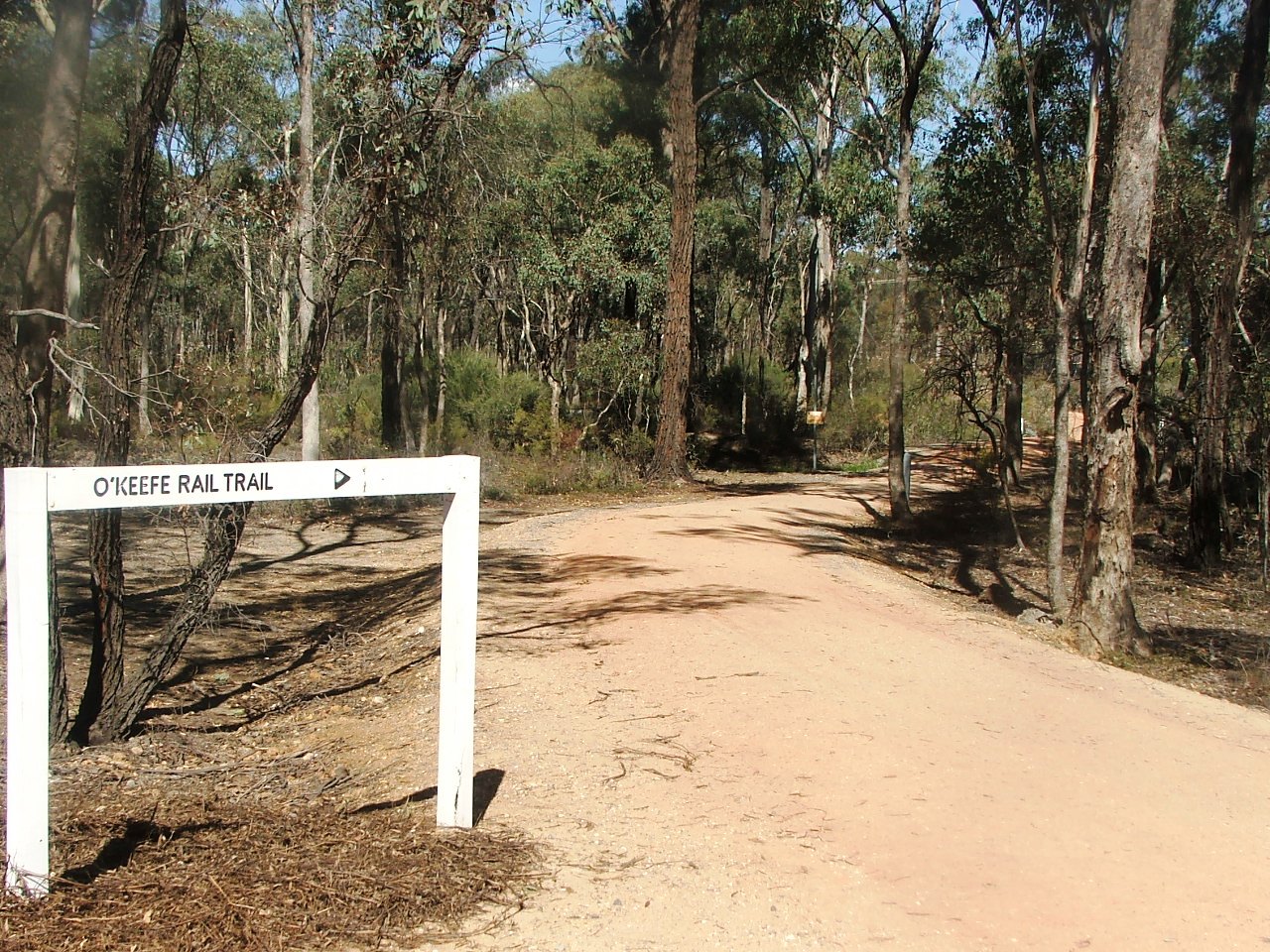
Turn towards Atlas Road.
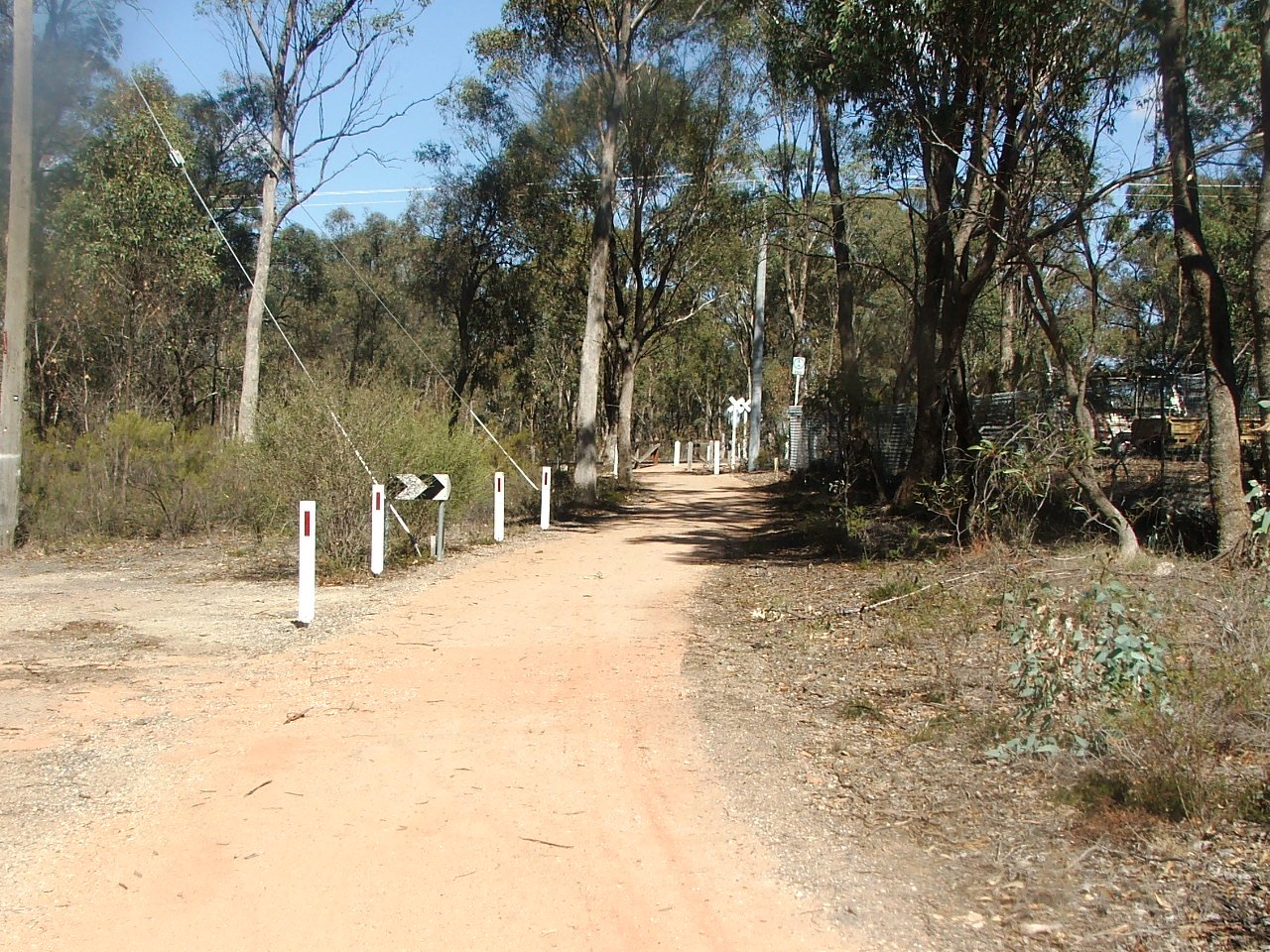
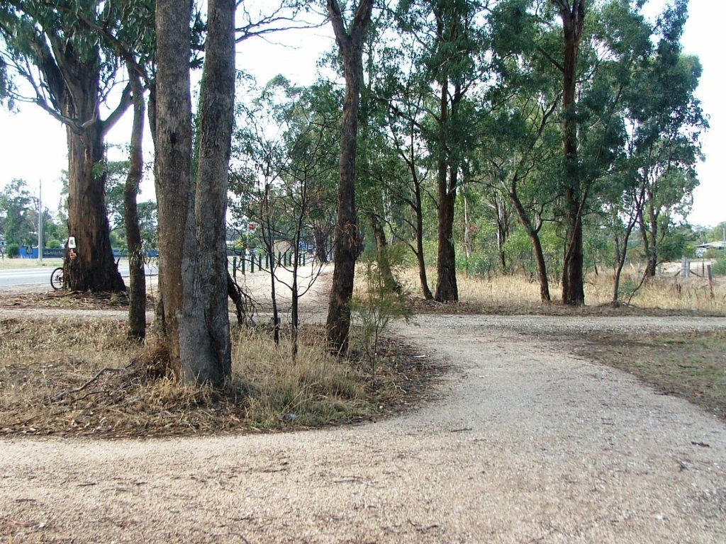
Along the way to Atlas Road crossing.
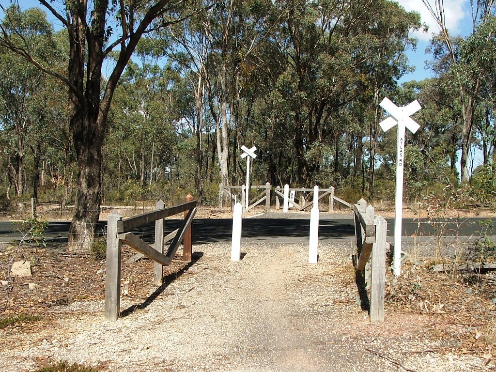
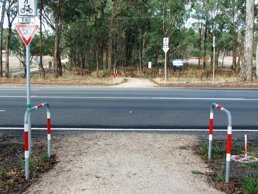
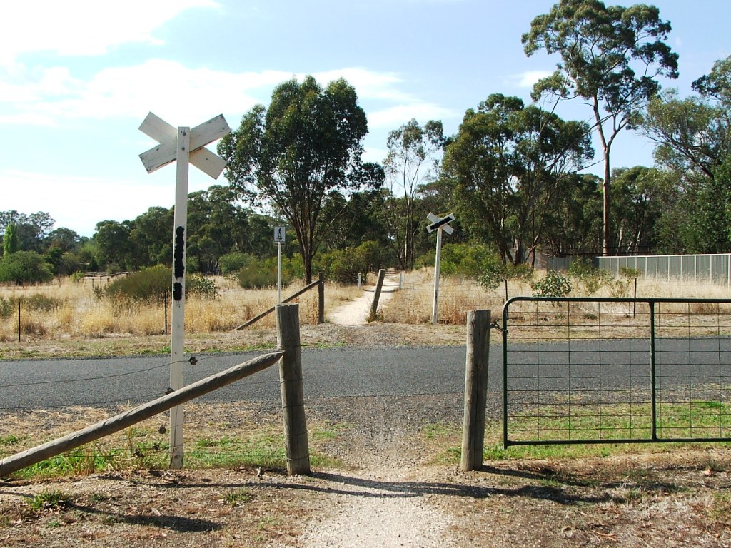
Atlas Road crossing.
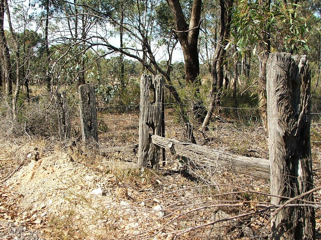
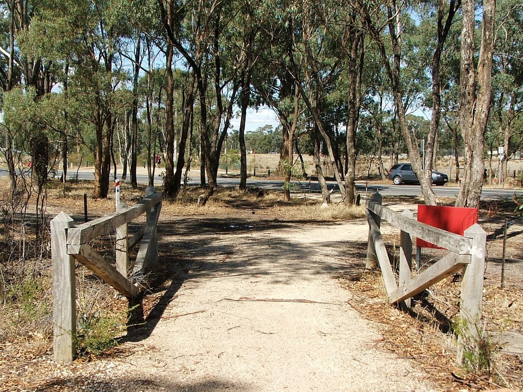
Old post and rail fence.
Section Highlights:
The Trail diverges from the Rangelea Siding and heads towards Strathfieldsaye Station. Crossing Atlas Road, it once again follows the bed of the railway line. Notice the remains of a post and rail fence on the left as you pass through.
About mid way to meeting the McIvor Highway, the Trail runs parallel and to the left of the rail bed.
The McIvor Highway Crossing was the site of the third Gatekeeper's Cottage on the line. It was also the site of a triple fatality on New Year's Day, 1900.
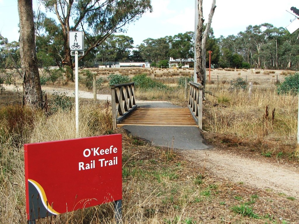
Continuing, the Trail crosses Splitters Creek via a bridge that is slightly downstream from where the rail bridge existed. Another bridge is crossed a short way along, followed by Cashen's Road which had been closed while the rail line existed. Marker Post 97 is just beyond the crossing.
Shortly after Cashen's Road, the site of the Strathfieldsaye Station, the short-lived and first to close, is reached.
Turn towards Atlas Road.
Along the way to Atlas Road crossing.
Atlas Road crossing.
Old post and rail fence.
Approaching McIvor Highway.
McIvor Highway crossing.
Continuing East, towards bus stop.
Crossing Splitters Creek.
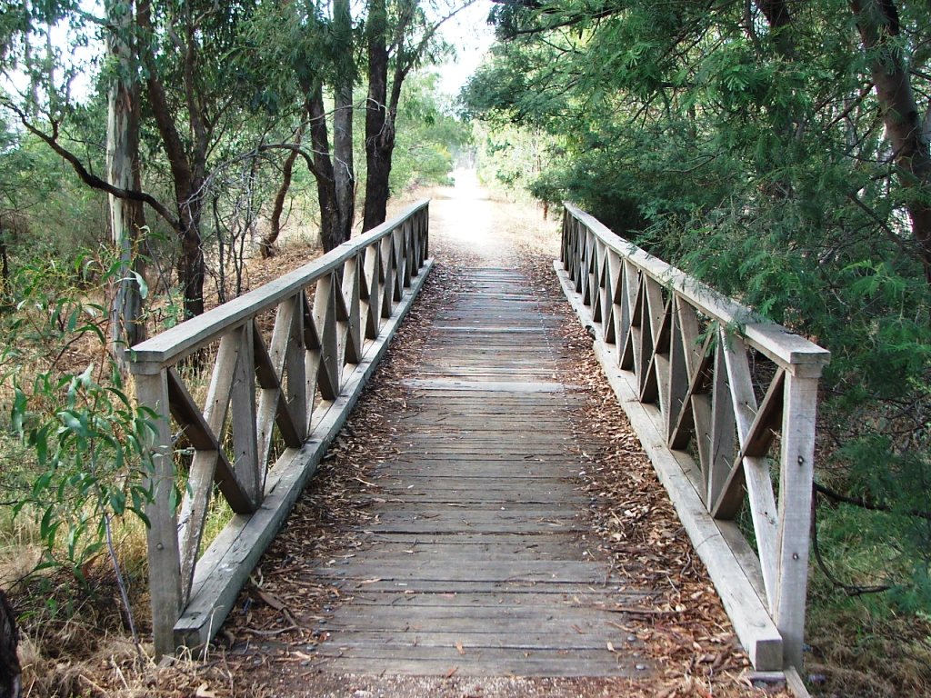
A tributary creek bridge.
Cashen's Road crossing.
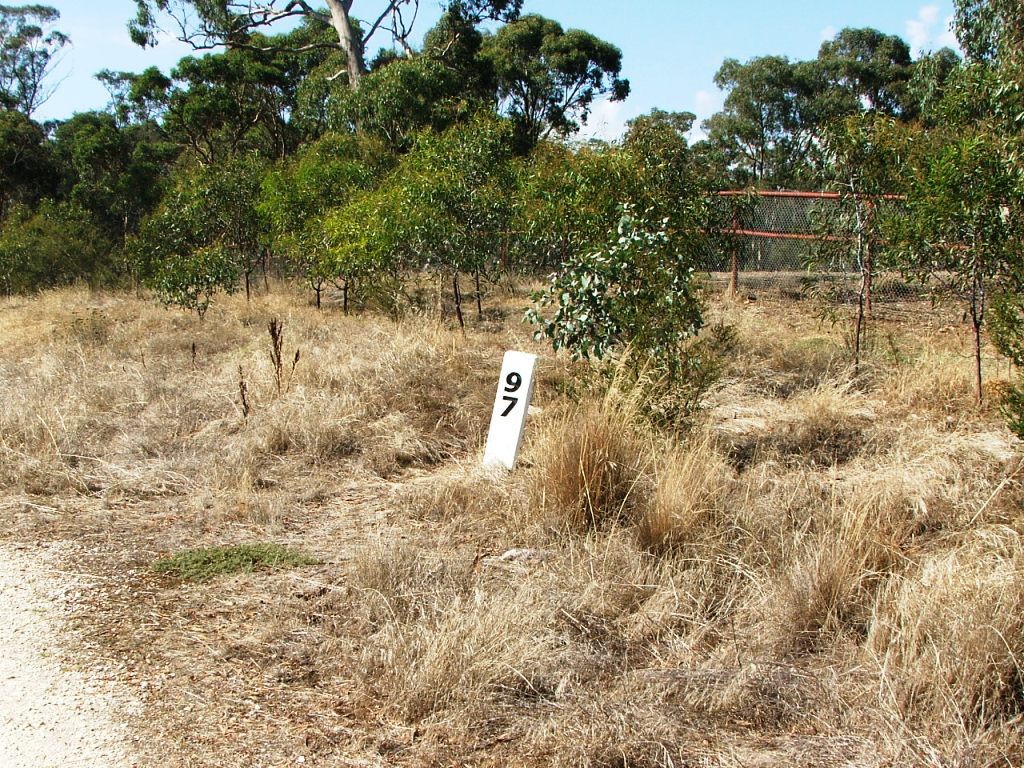
97 miles from Melbourne.