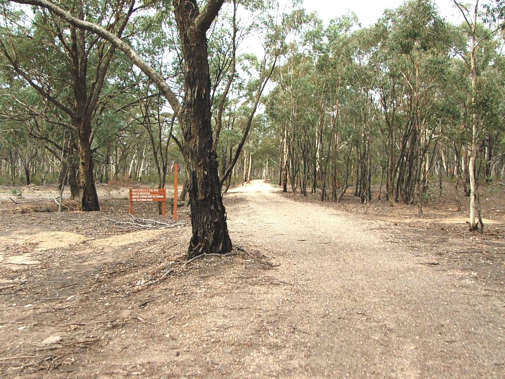
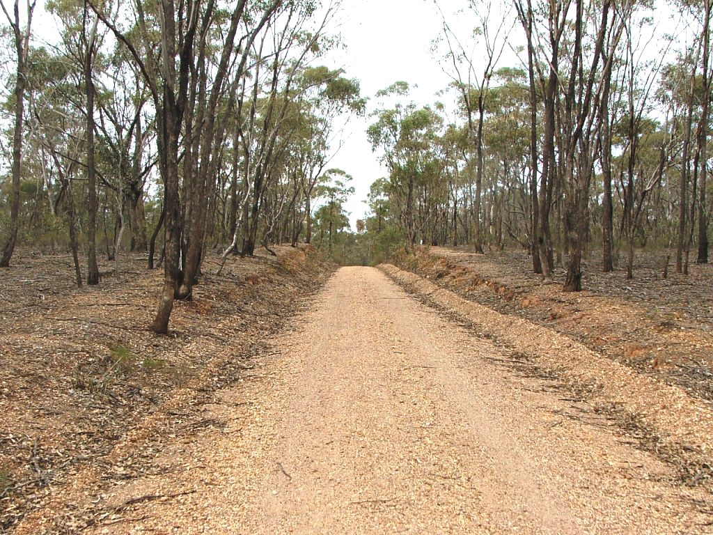
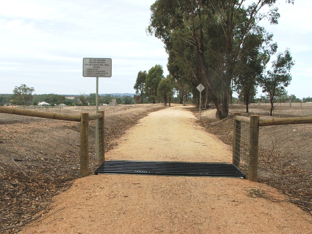
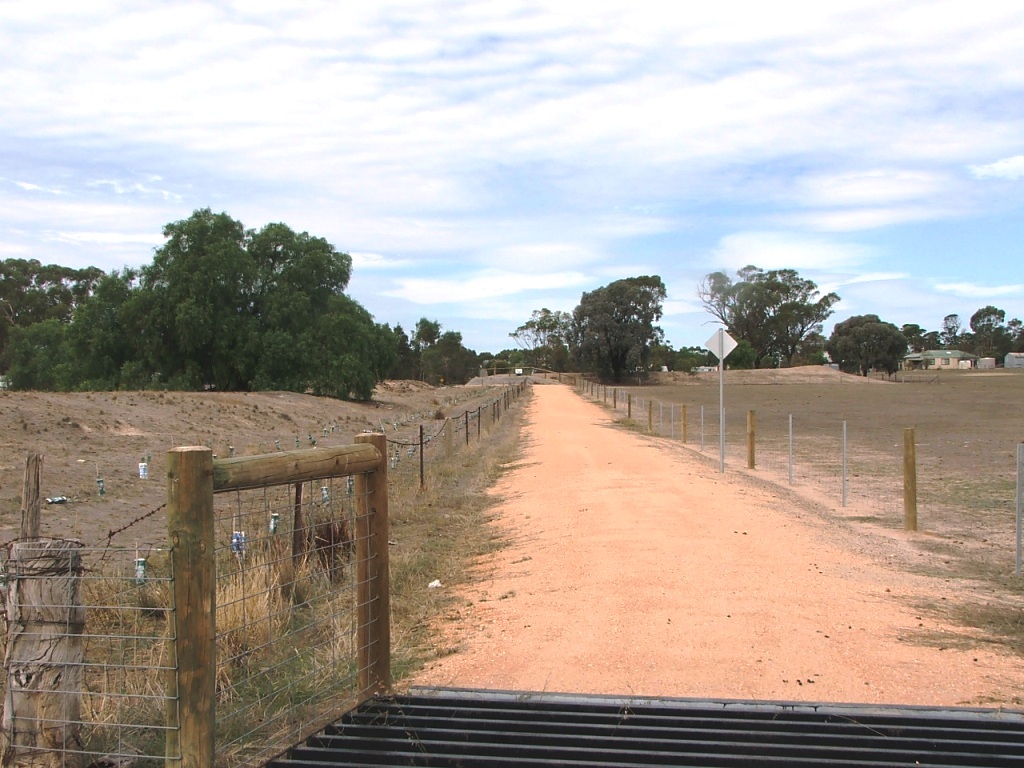
From Quarry Road crossing towards Knowsley
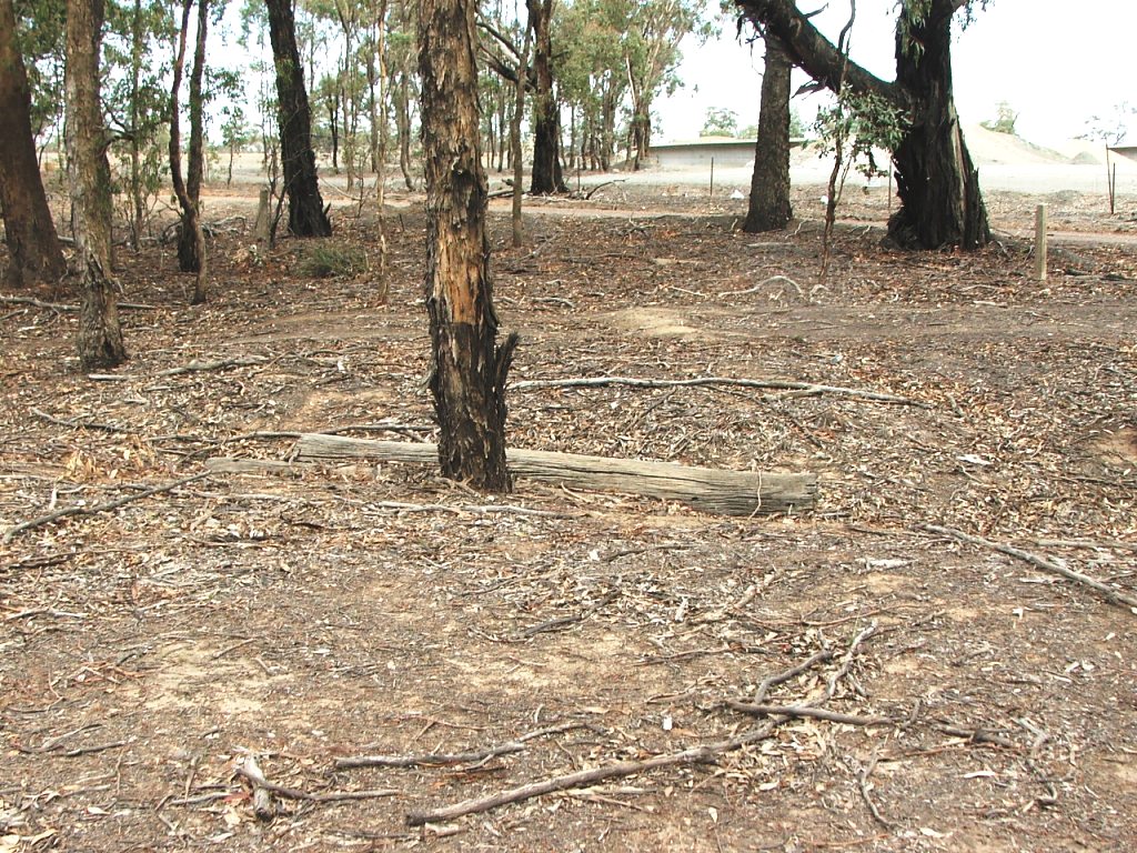
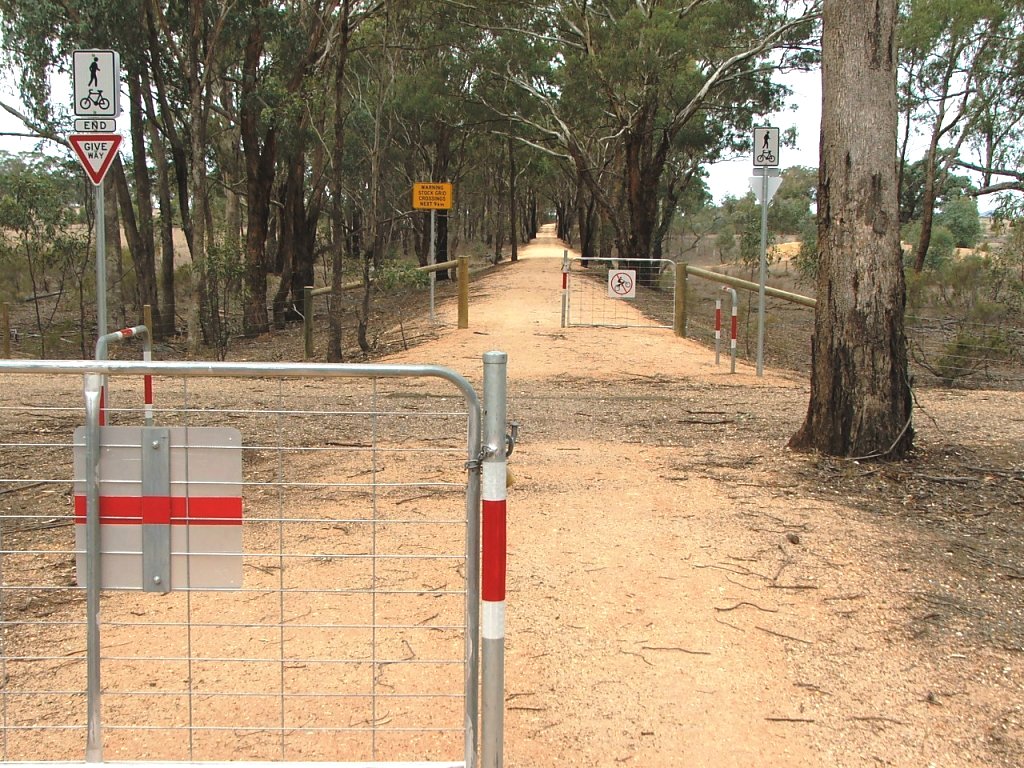
Cattle grid beam near Quarry Road crossing.
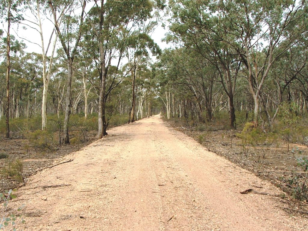
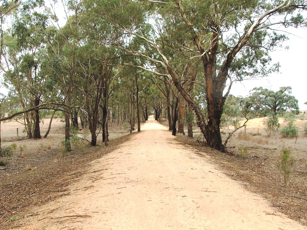
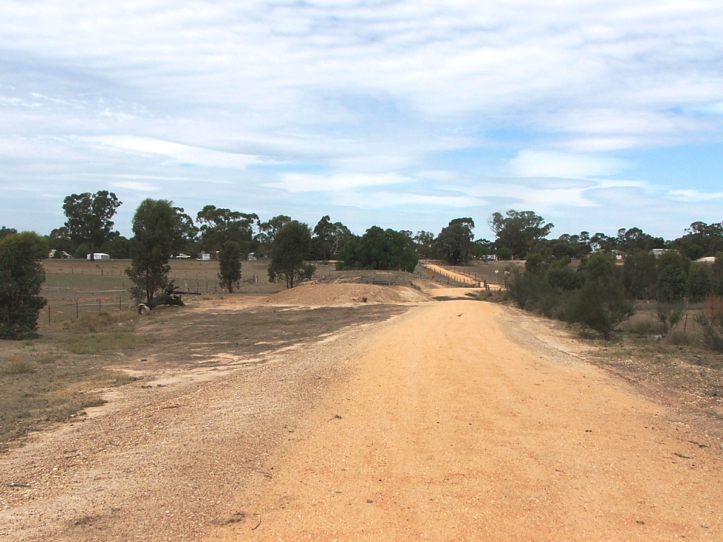
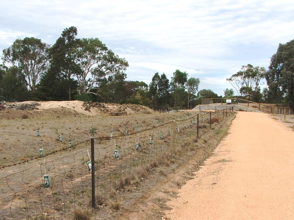
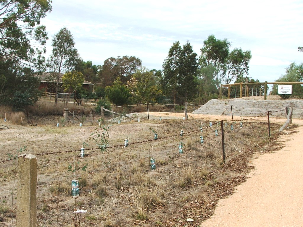
Along the curve and up the grade

Replica Marker Post 86.
Section Highlights:
The Trail passes a house site that possibly contained the house that was sold by Mrs. Ingham to the Victorian Railways. Ruins existed here until early 2015. It then continues through the Knowsley Forest past Marker Post 86, on an up grade, passes Marker Post 85 at its apex, followed by Marker Post 84 at the edge of the Forest. At this point, the Trail has also exited the Axedale Squatters Run.
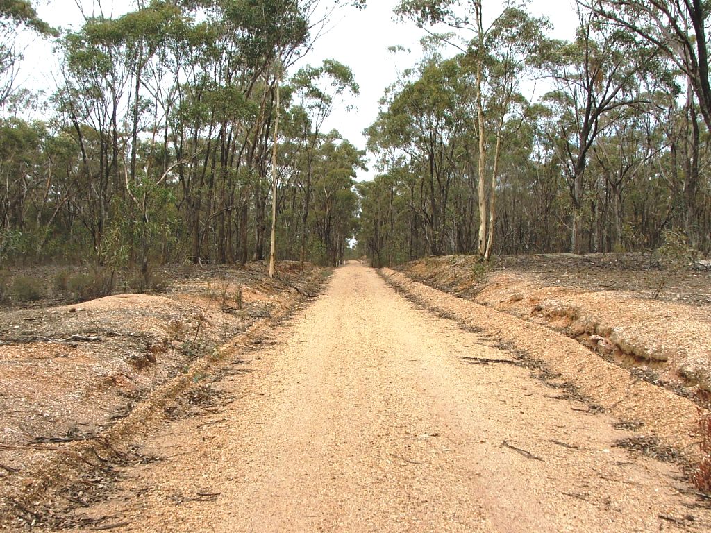
Another up grade takes the Trail over an Occupation Crossing to the top of a rise that overlooks Knowsley. A gravel pit at the left provided ballast for the line construction.
The path towards Knowsley follows the rail bed until just before bridge remains where it diverges to bypass private property. The rail alignment is easily seen and the Trail rejoins at the end of Railway Court where it enters the Knowsley Station site. A timber siding extended out into the paddock on the left.
From Quarry Road crossing towards Knowsley
Cattle grid beam near Quarry Road crossing.
Along the curve and up the grade
Replica Marker Post 86.
Two cuttings to the top.
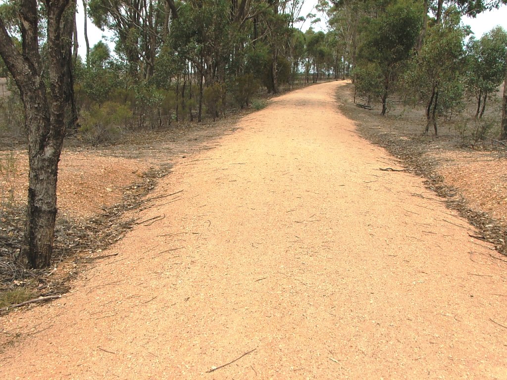
The top of this grade.

Replica Marker Post 85.

Curve to the next up grade.

A culvert with the top of the grade in the distance.

Another culvert with a curve in the distance.

The edge of the Knowsley Forest in the distance.

Replica Marker Post 84 near the P.C.R. crossing.
The P.C.R. Crossing at the edge of the Forest - with a single sleeper right in the middle of it.
Up the grade to another curve.
P.C.R. Crossing just before the curve before Knowsley.
Cattle grid at the entrance to private property. O'Keefe's gravel pit was to the left of this location.
The line continued straight ahead over what is now the remains of a bridge.
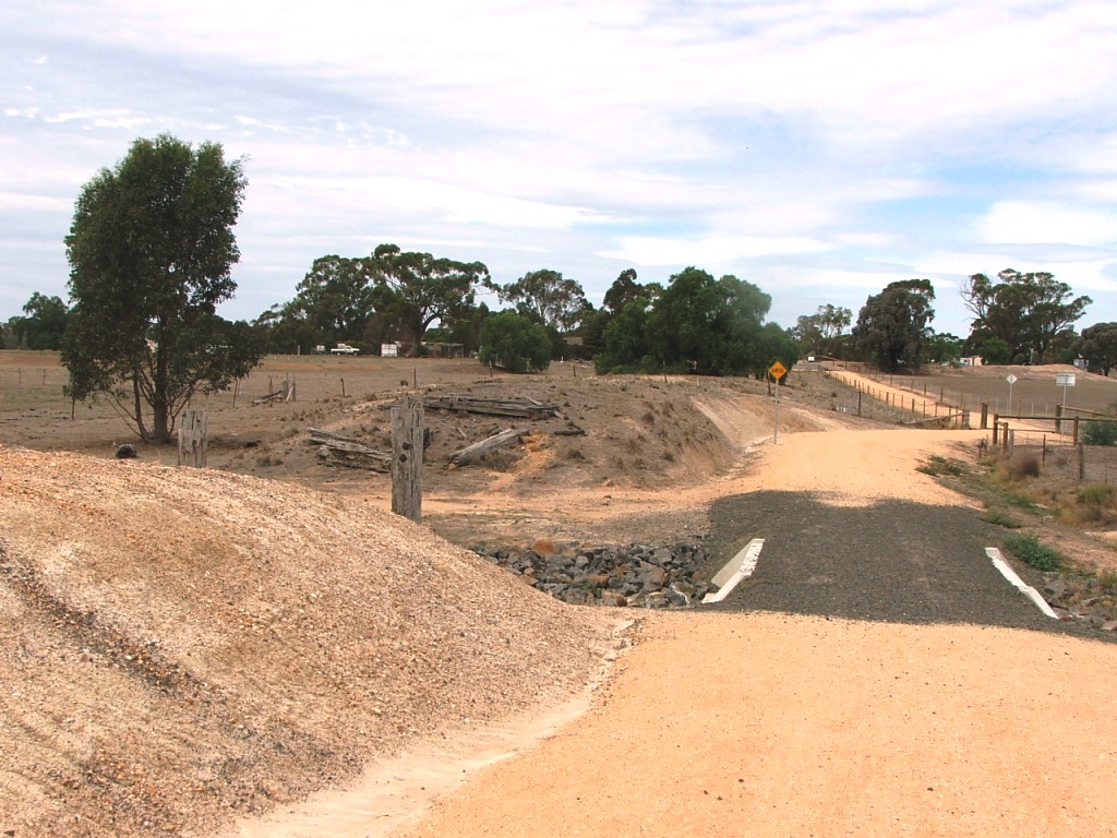
The Trail skirts around the bridge remains over a new culvert.
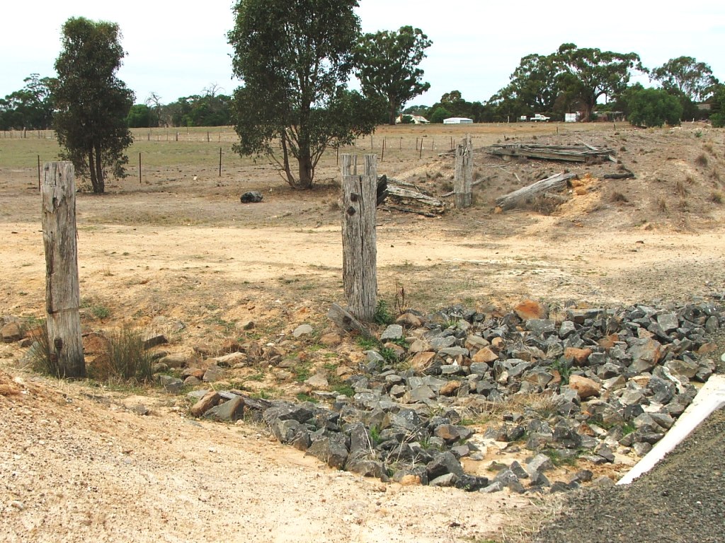
The bridge remains in March, 2016.

About to leave the private property section.
Cattle grid exit from private property with the rail bank on the left.
Knowsley Station entrance in the distance on the left.
The Trail rejoins the track alignment as it enters Knowsley Station.