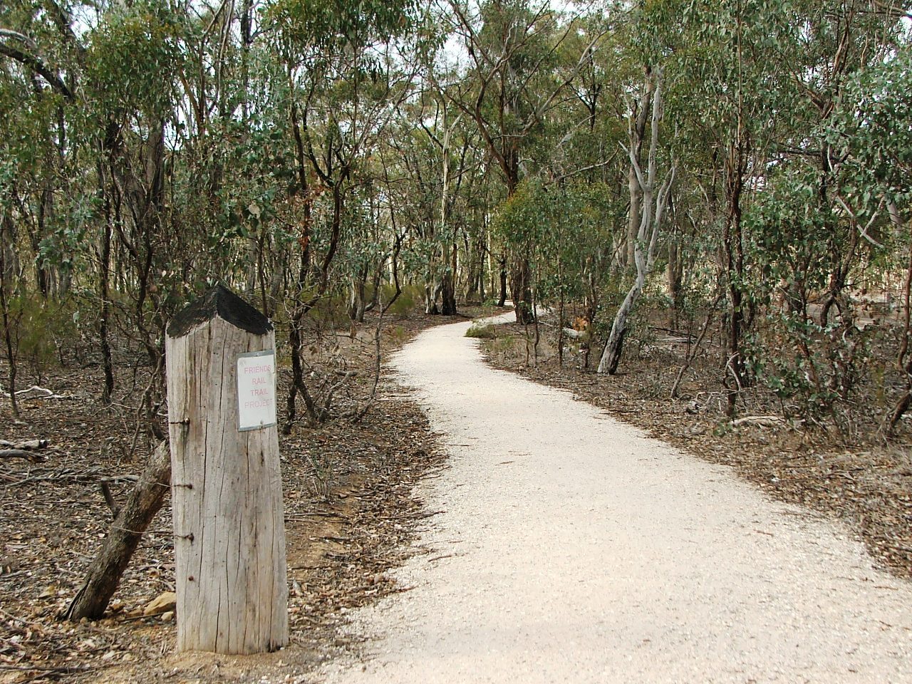
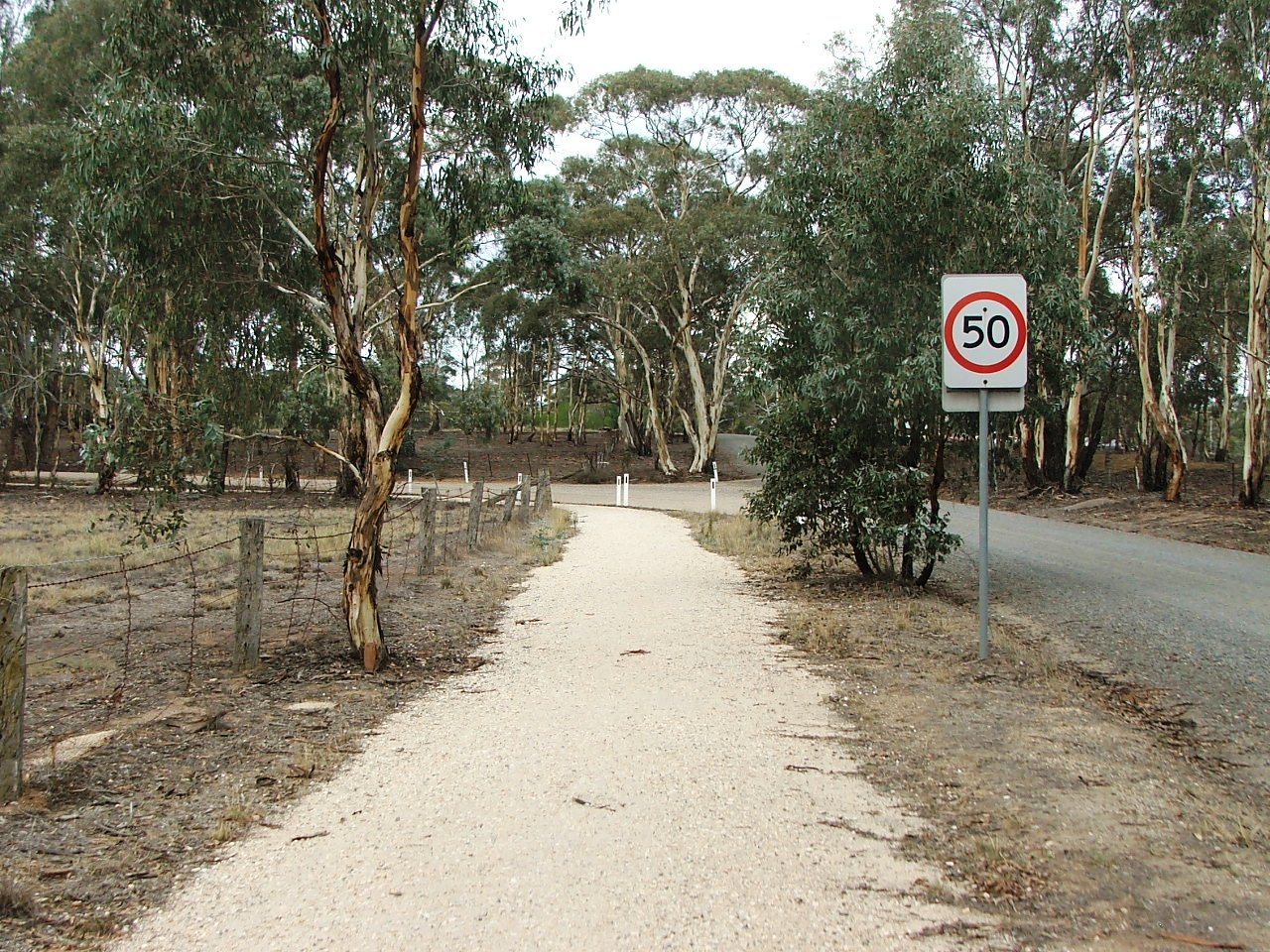
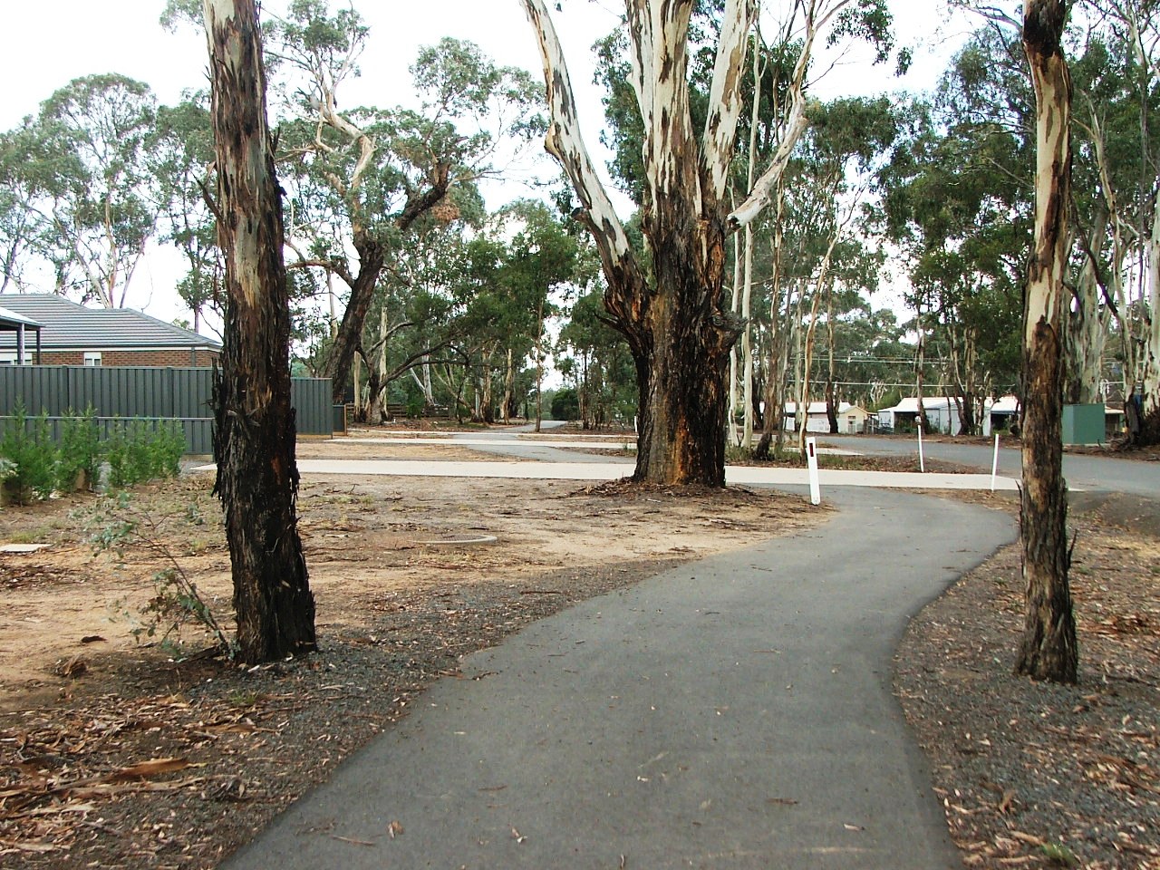
Towards Minter Lane. The path is on the surface of a road closed by the railway.
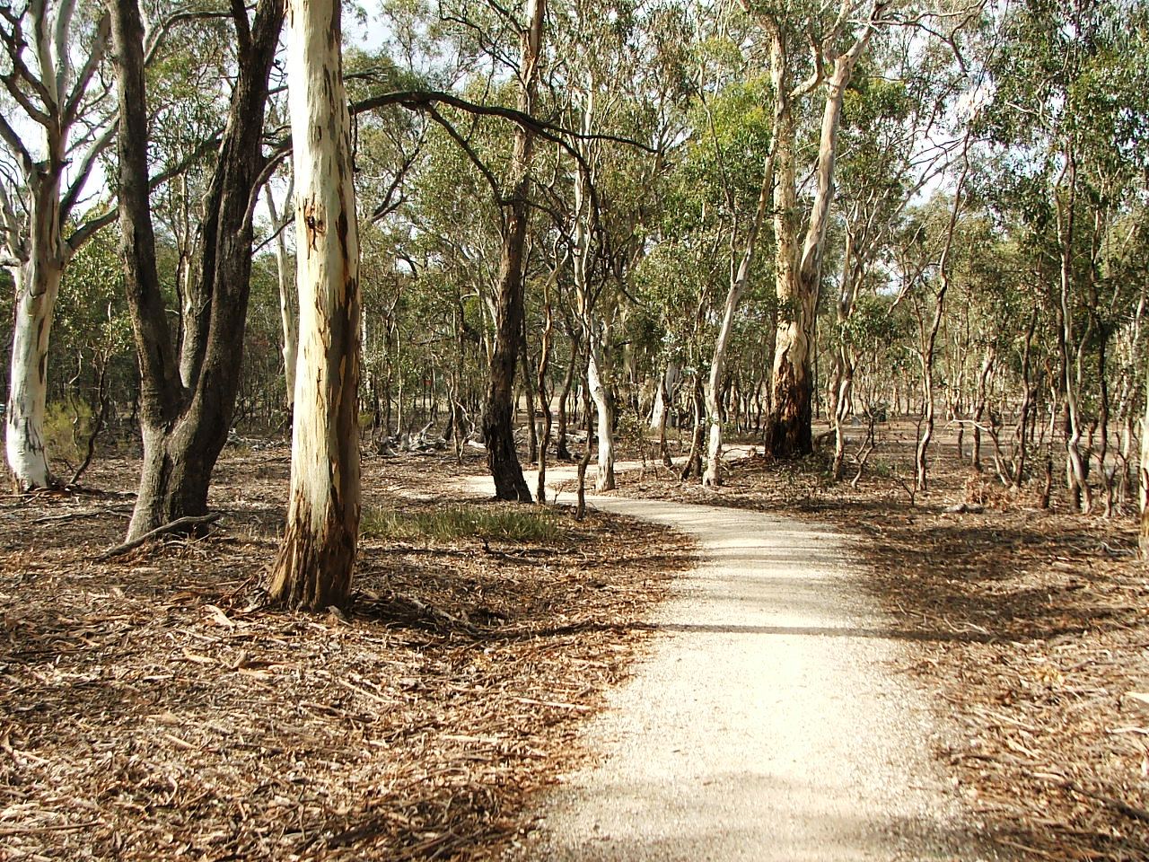
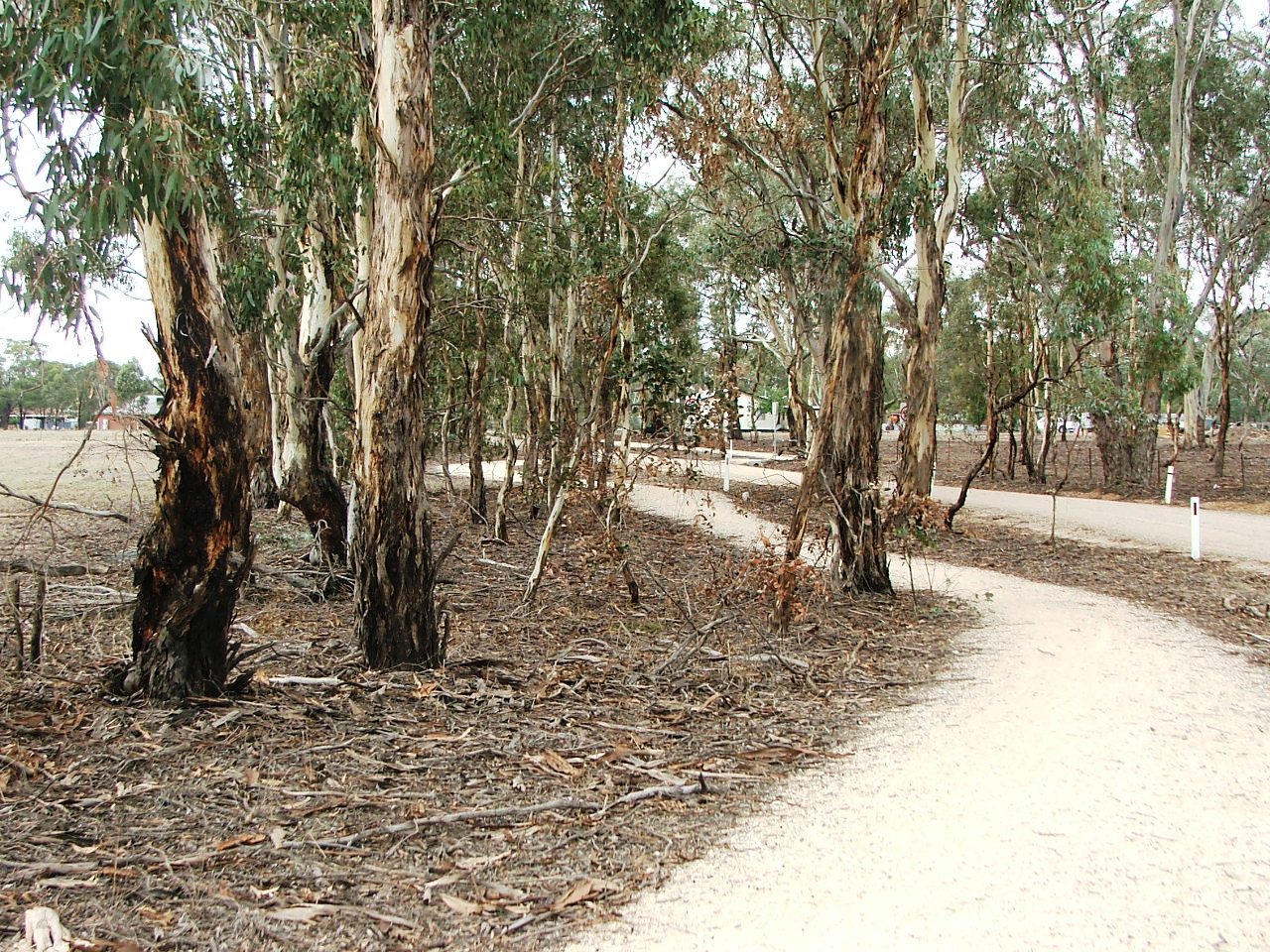
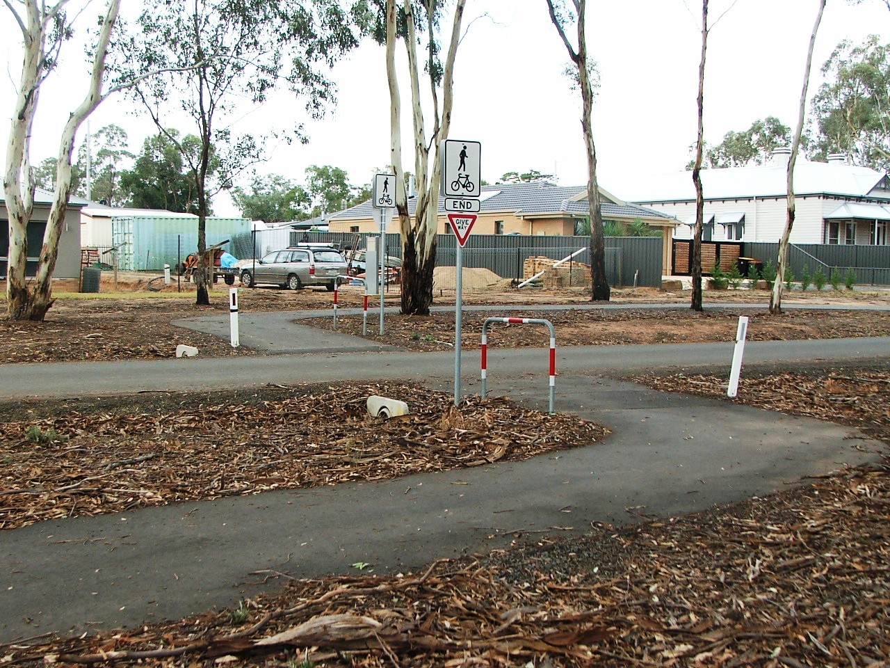
Minter Lane crossing ahead.
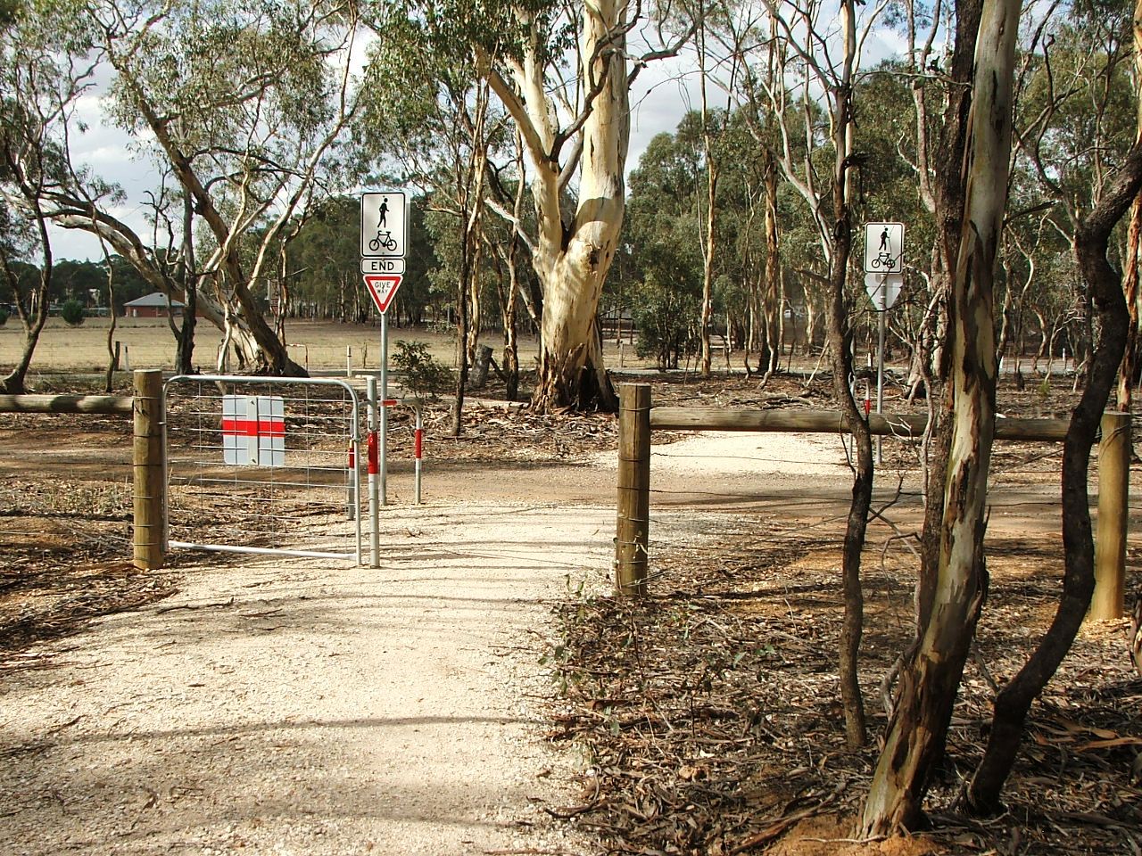
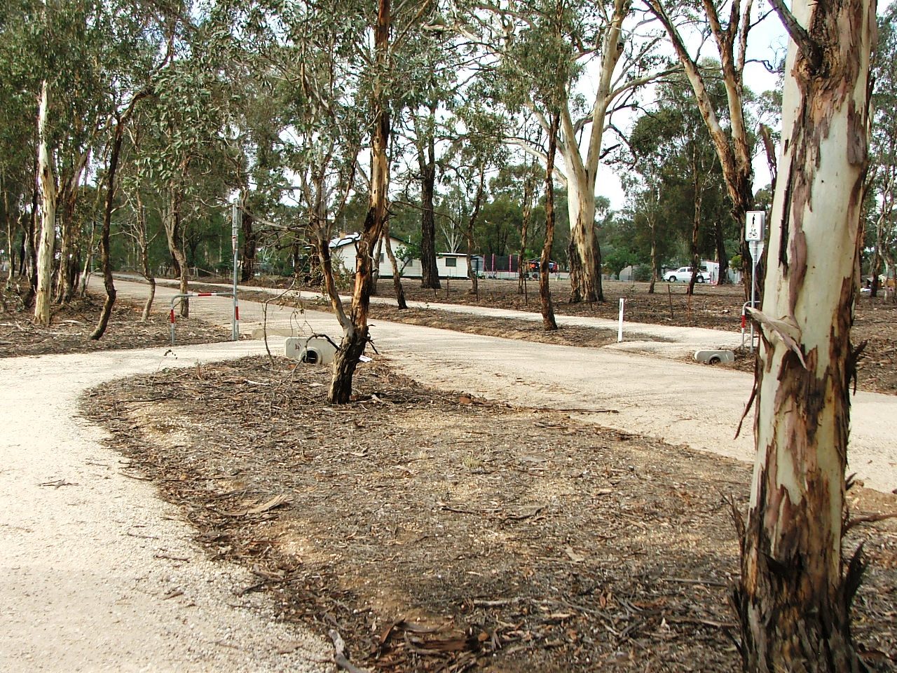
Minter Lane crossing.
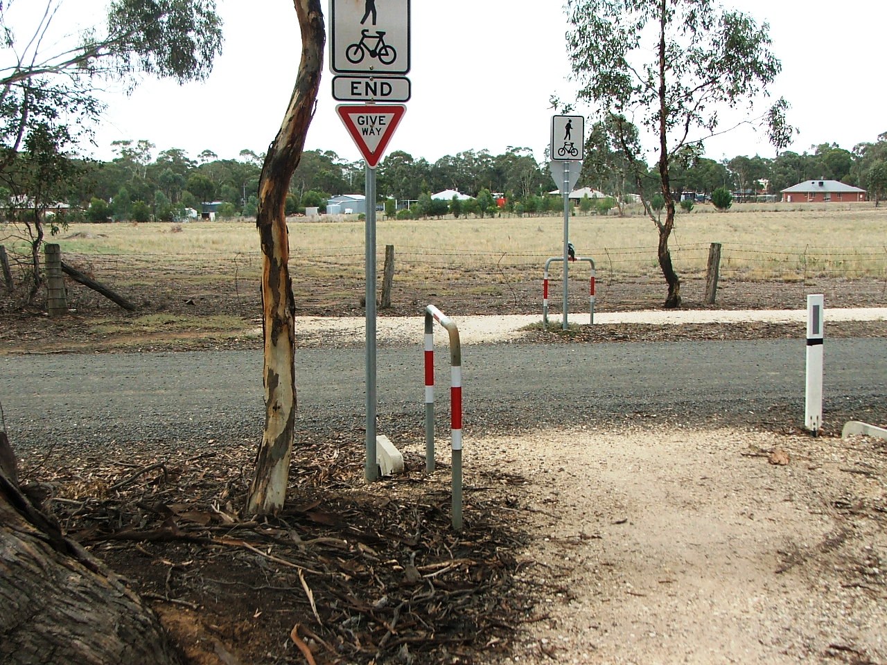
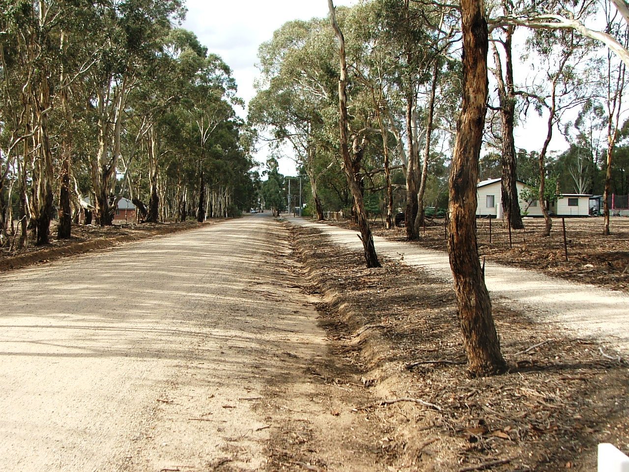
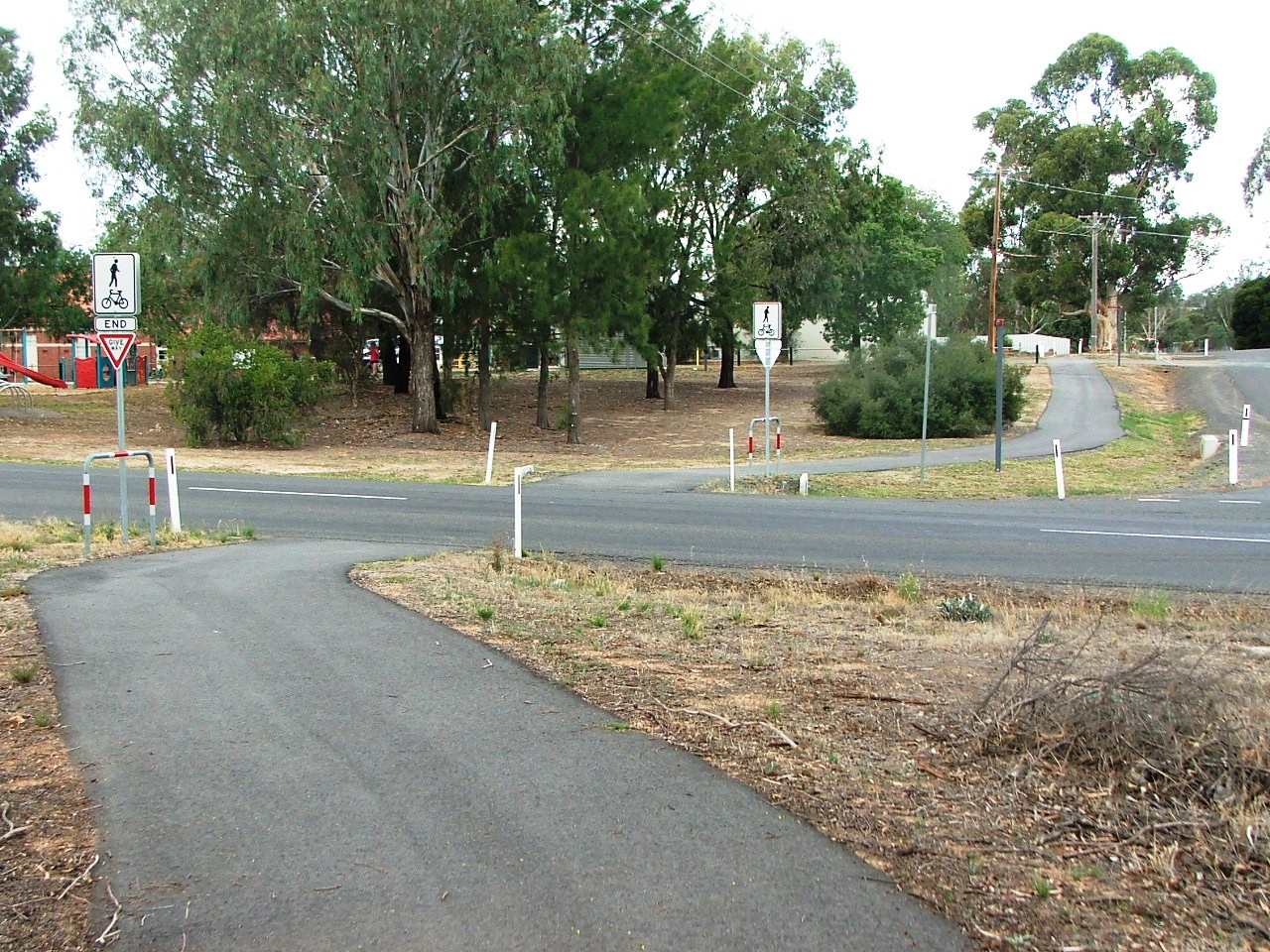
Burns Street crossing.
Section Highlights:
The Trail has to branch from the rail alignment from the Axedale Racecourse Platform due to impediments caused by the Axedale Golf Course, expense of providing a bridge over the Axedale-Kimbolton Road, the Golf Course again, the requirement for a bridge across the Campaspe River, and private property and quarry on the East side of the river.
The Trail generally follows an old road alignment, closed by the rail line, to Minter Lane where it crosses, followed by Burns Street which it follows parallel to Shadforth Street. It runs parallel to Shadforth Street for a short distance, crosses, and runs parallel to Eddington Street. Having crossed Eddington Street, it runs parallel, crosses the Axedale Kimbolton Road (Mitchell Street), and arrives at the Axedale Park with access to toilets, water, various Axedale businesses and the Axedale Historic Walk.
Towards Minter Lane. The path is on the surface of a road closed by the railway.
Minter Lane crossing ahead.
Minter Lane crossing.
Burns Street crossing.
Along Burns Street towards Shadforth Street.
Towards Shadforth Street crossing.
Shadforth Street crossing.
Along Shadforth Street towards Eddington Street.
Eddington Street crossing.
Along Eddington Street towards Axedale-Kimbolton Road crossing.
Axedale-Kimbolton Road crossing. Axedale Park ahead.
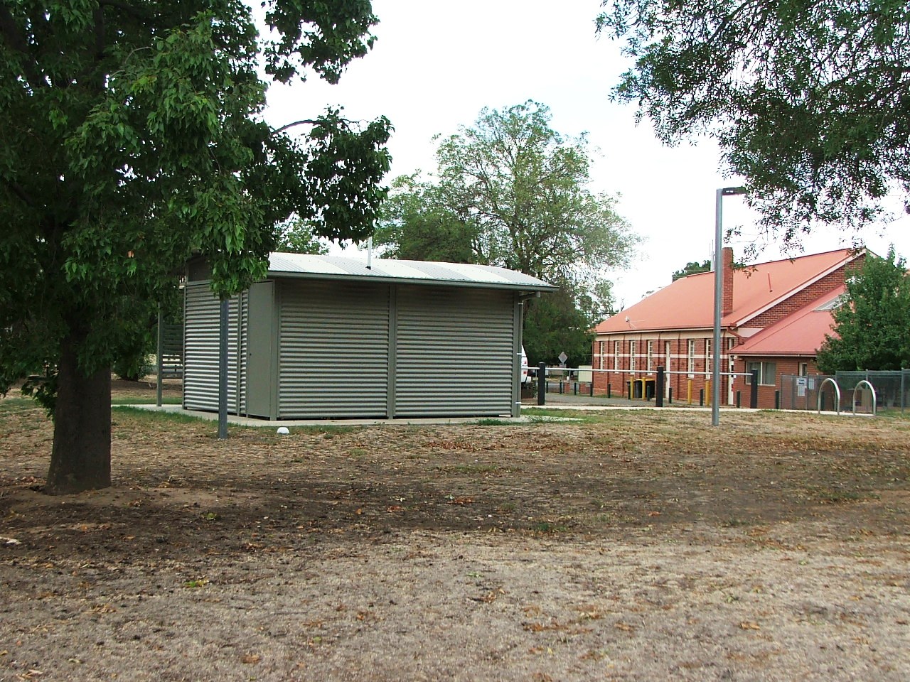
Axedale Park toilet stop.
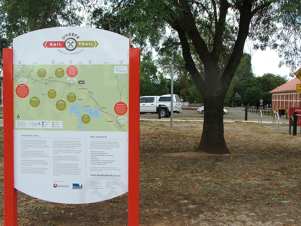
Axedale Park information board.