Taig Road crossing.
Original rail alignment at Taig Road.
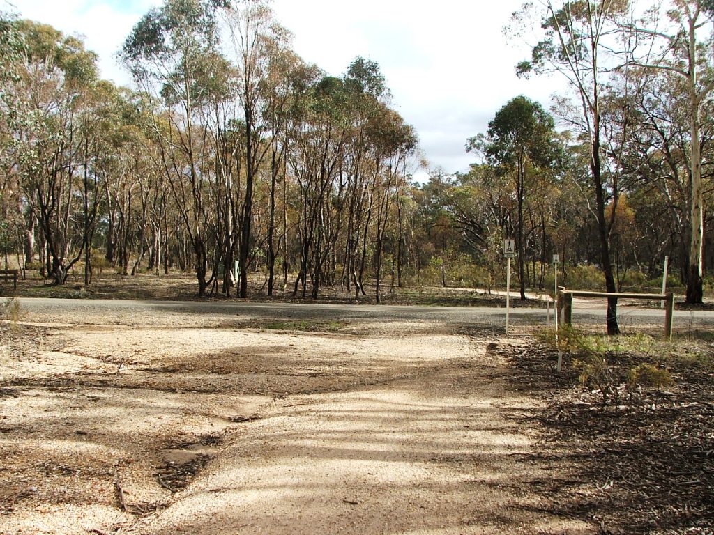
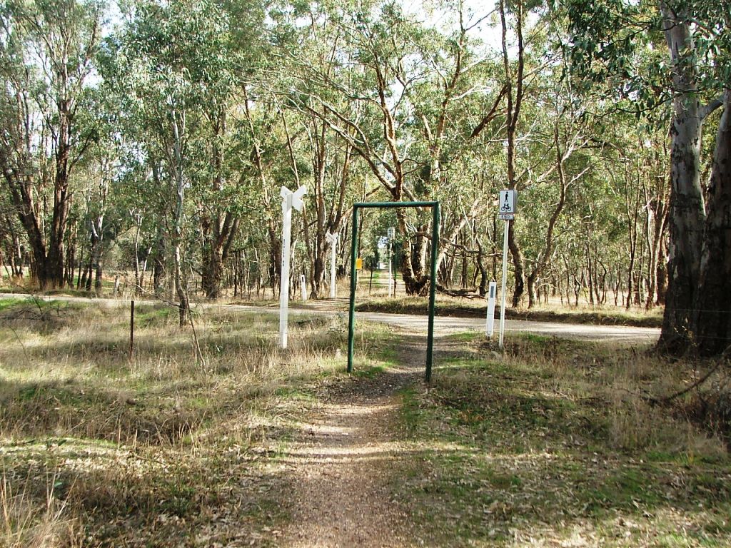
Site of Axedale Up Home Signal.
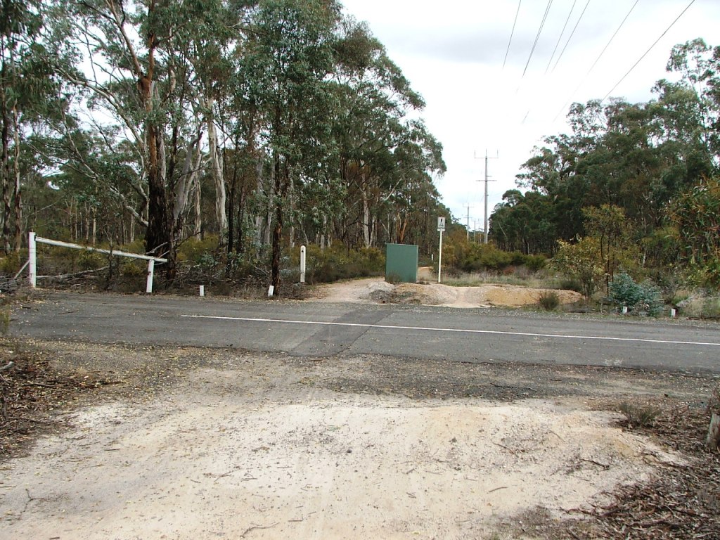
Arakoon Resort entrance crossing.
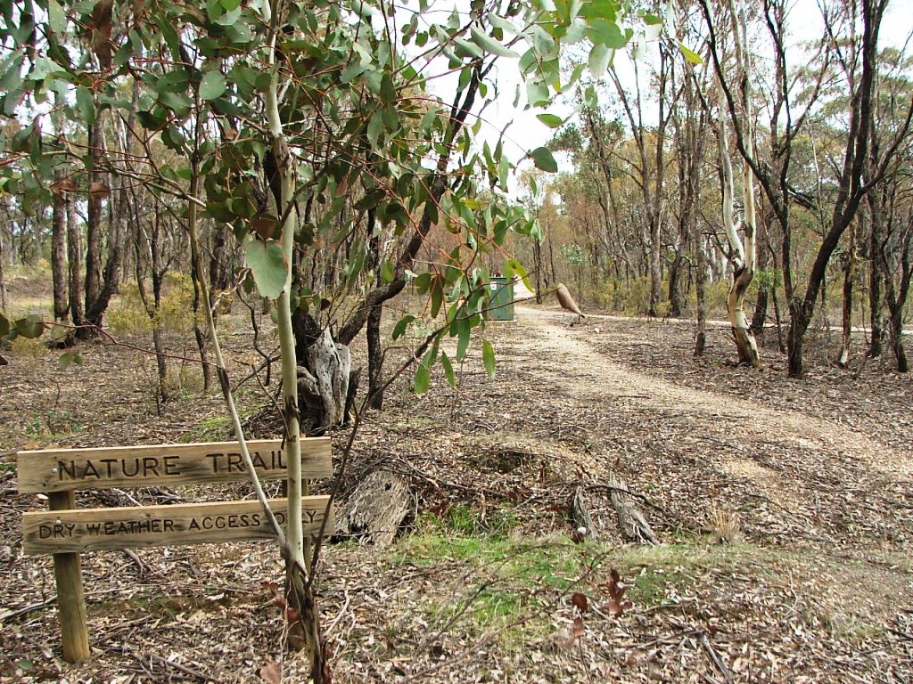
Continuing towards Longlea Station.
Taig Road crossing.
Original rail alignment at Taig Road.
Site of Axedale Up Home Signal.
Arakoon Resort entrance crossing.
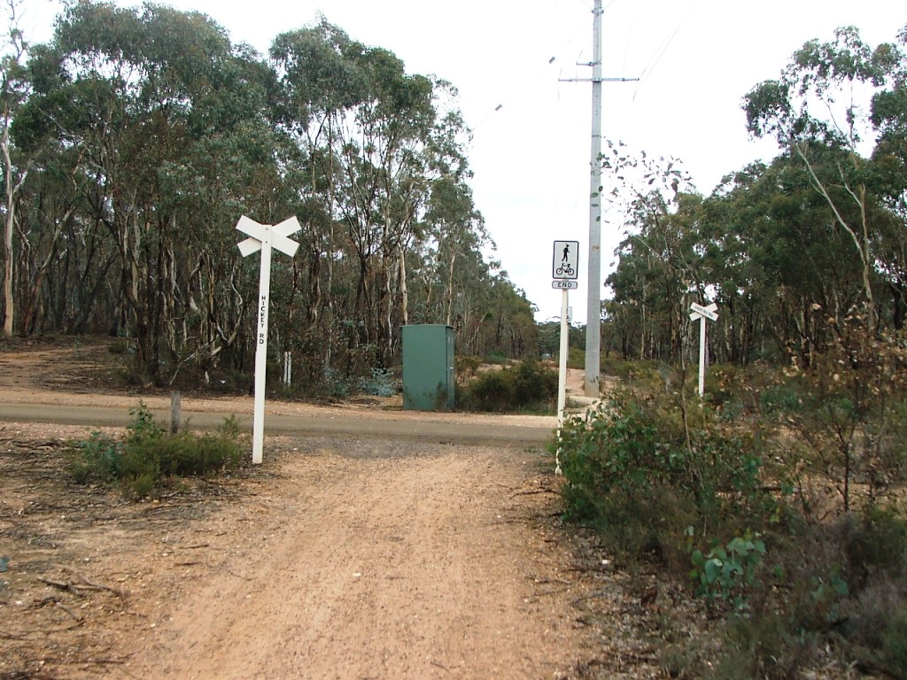
Hickey Road crossing.
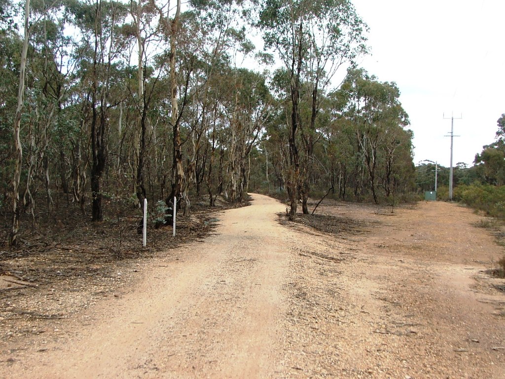
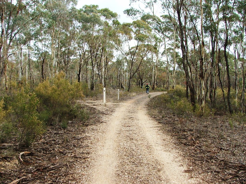
Follow rail bed to the left.

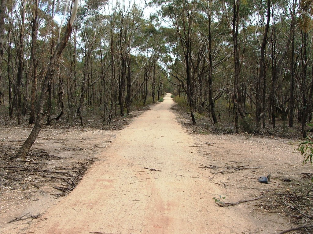
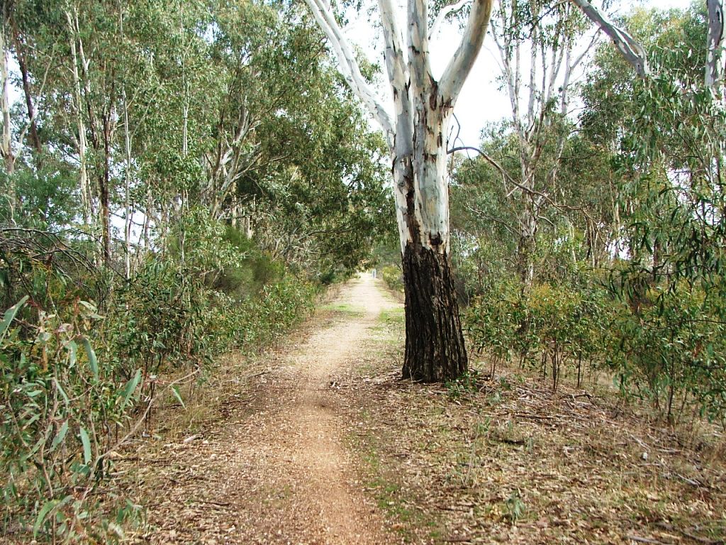
Through the cutting.
Axedale Quartz Mining Co. crossing. Second Axedale Hotel is to the right.
Detailed information for the Acott Mine.
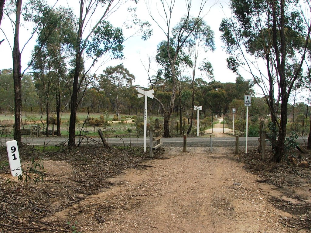
Giri's Lane - 91 miles from Melbourne.
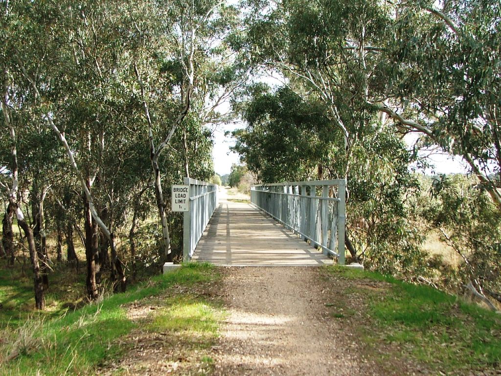
Blind Gully Bridge.
Sawpit Gully bridge ahead.
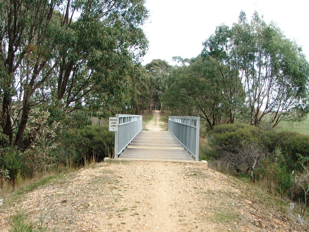
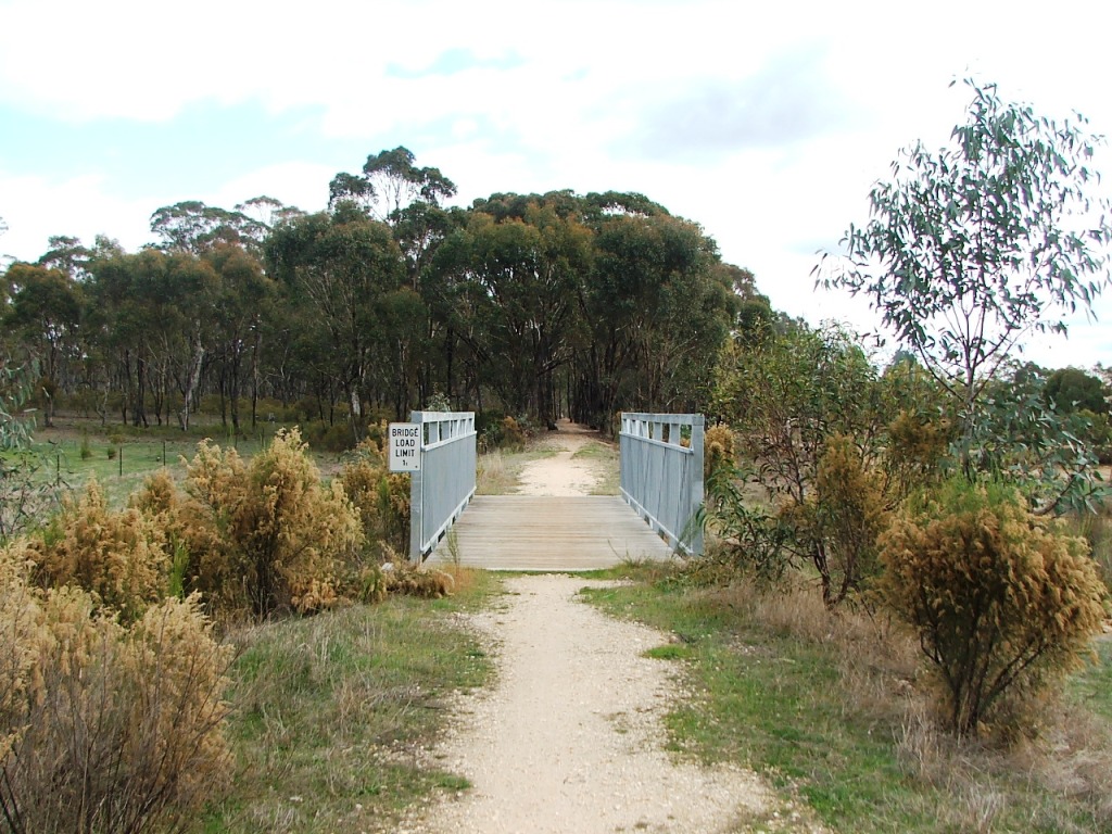
Sawpit Gully Bridge.
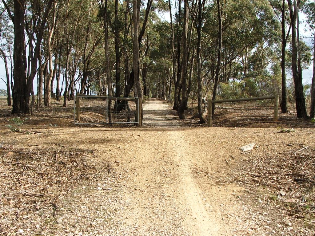
Occupation Crossing.
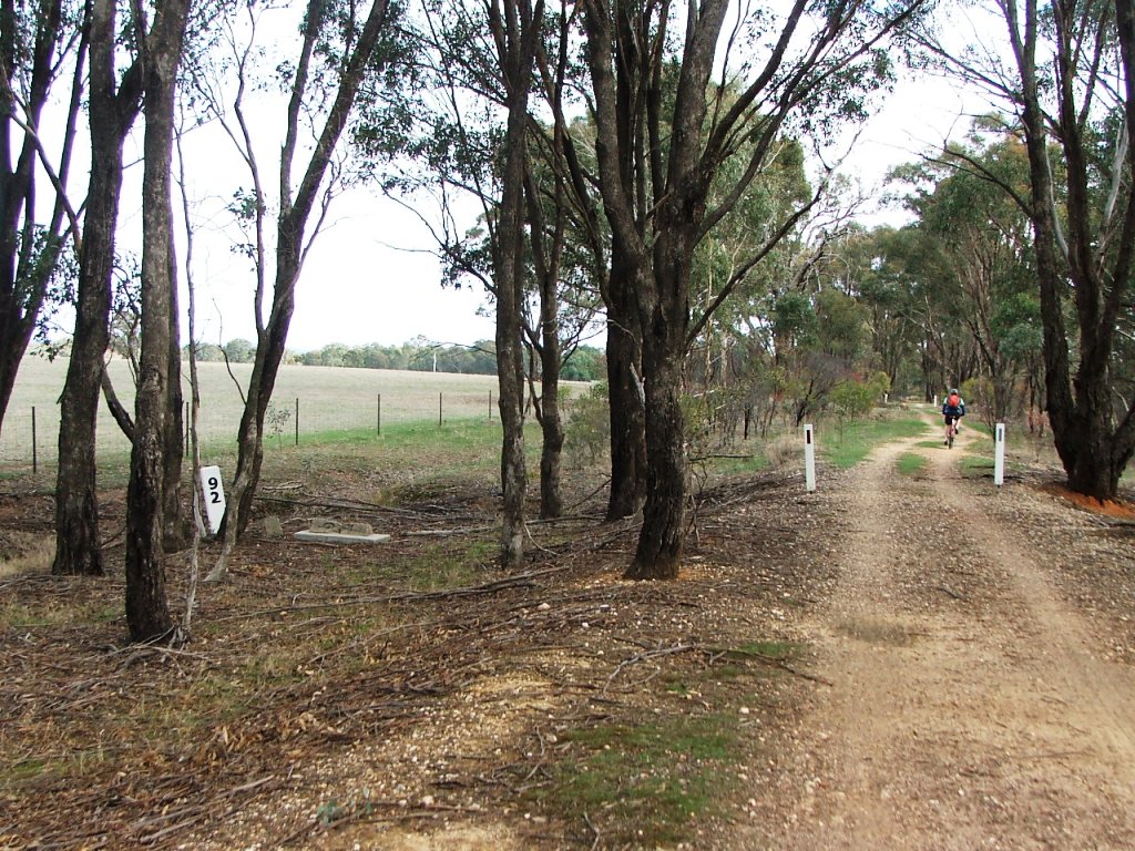
Marker Post 92 and old box culvert.
Bowles Road crossing.
Sweeney's Creek bridge.
Site selection
Location MenuBendigo direction
Longlea Station siteHeathcote direction
Up