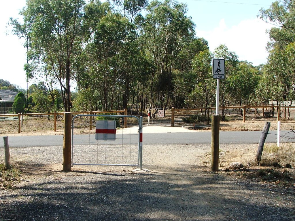
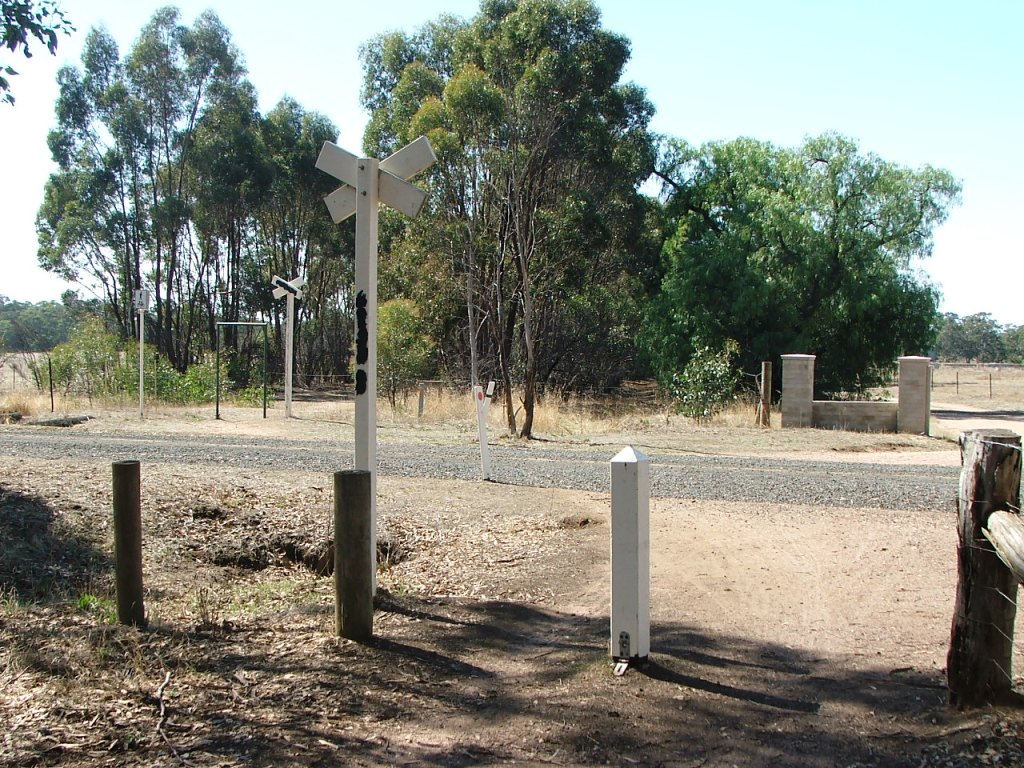
Wilkie Road crossing.
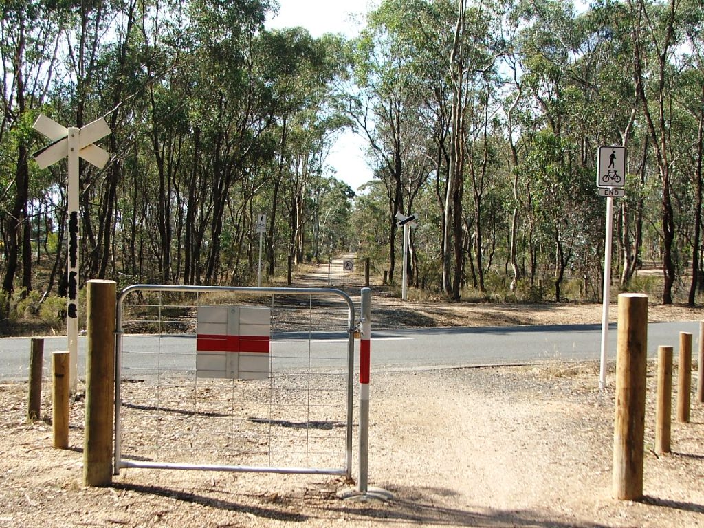
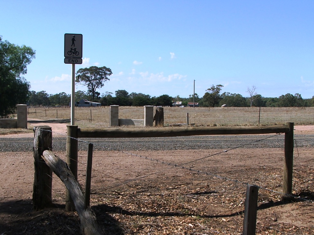
Somerset Park Road crossing.
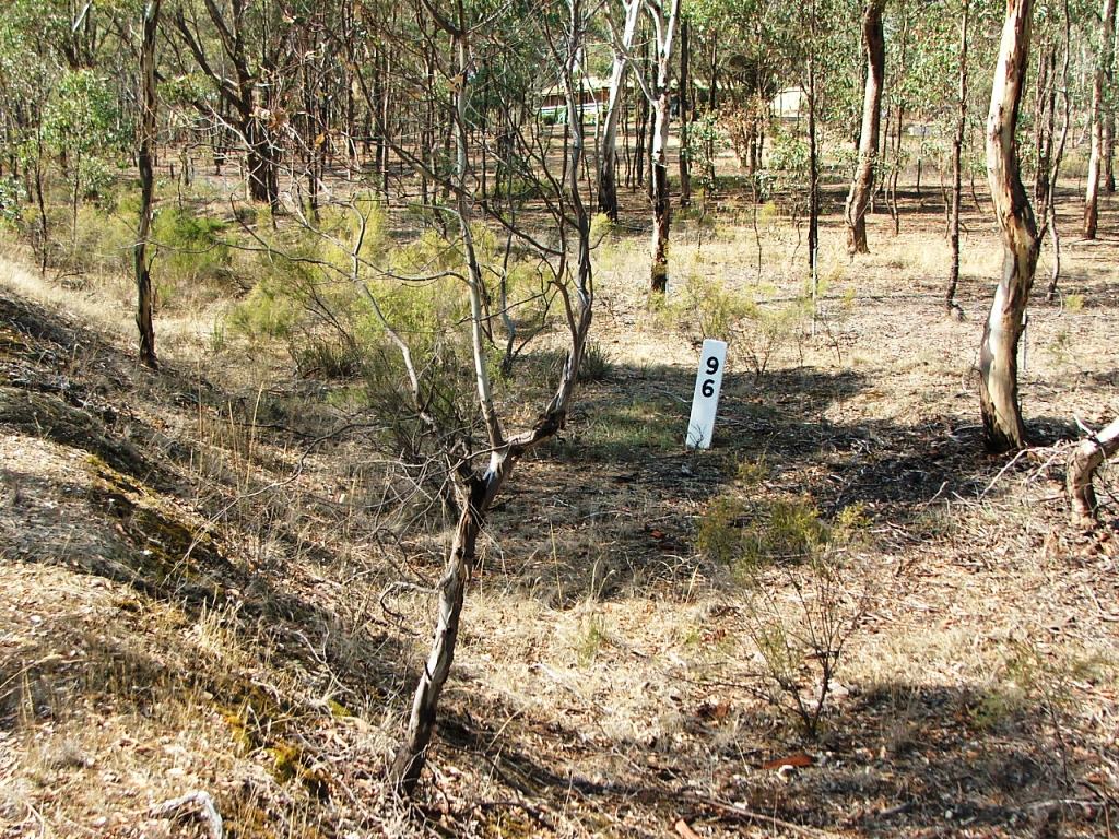
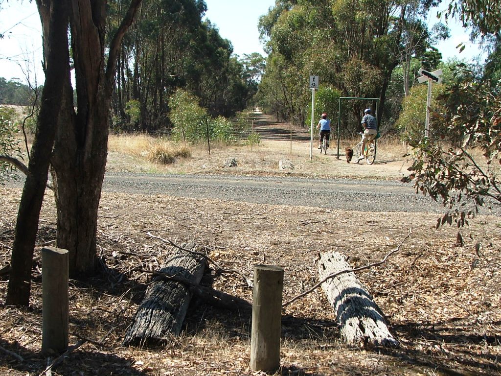
96 miles from Melbourne.
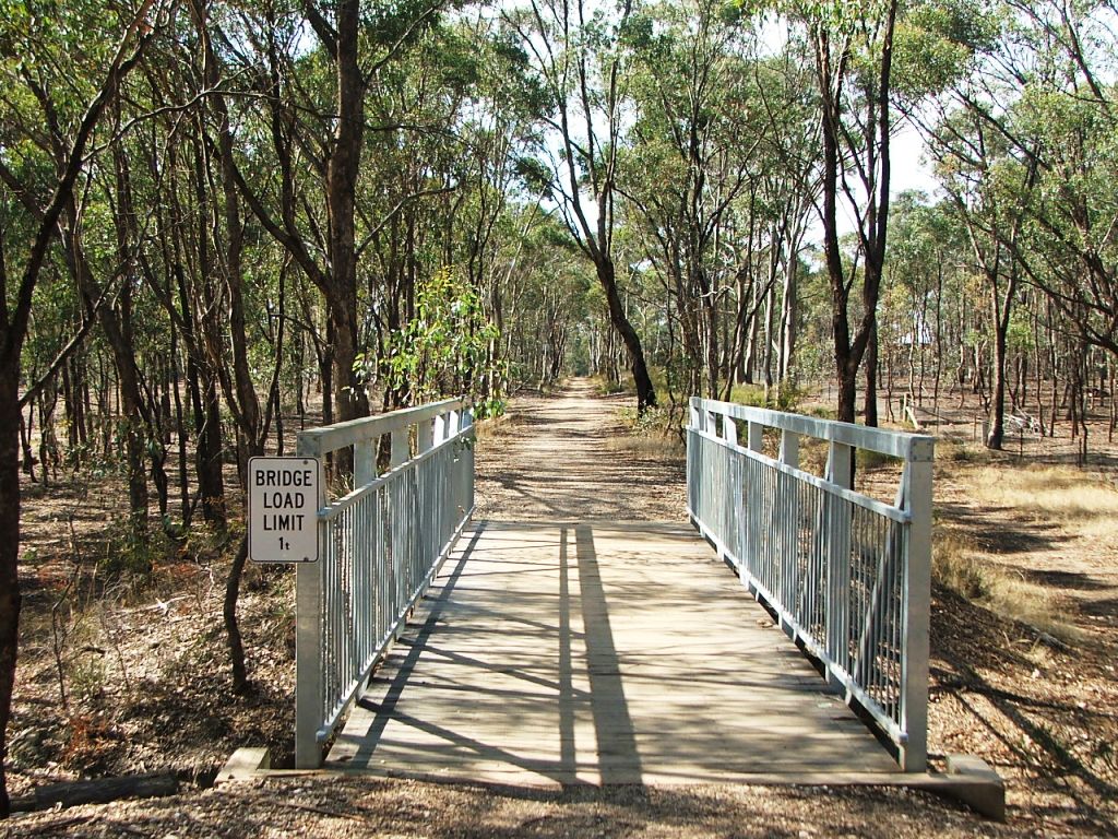
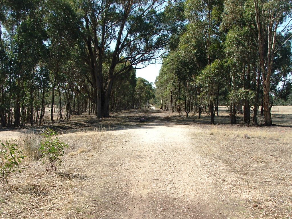
The first bridge.
Section Highlights:
The Strathfieldsaye Station ends at Wilkie Road - the site of the third Gatekeeper's Cottage. A short distance along is the culvert at the end of Manning Court and the bend at Trotting Terrace and Binks Road. A gravel pit, used for track ballast purposes, existed a short distance down Binks Road. There was a rail bridge at this location and, before the rail line, Manning Court was joined to what is now Binks Road.
Somerset Park Road Crossing is next and a rail bridge once existed at the culvert a short distance beyond.
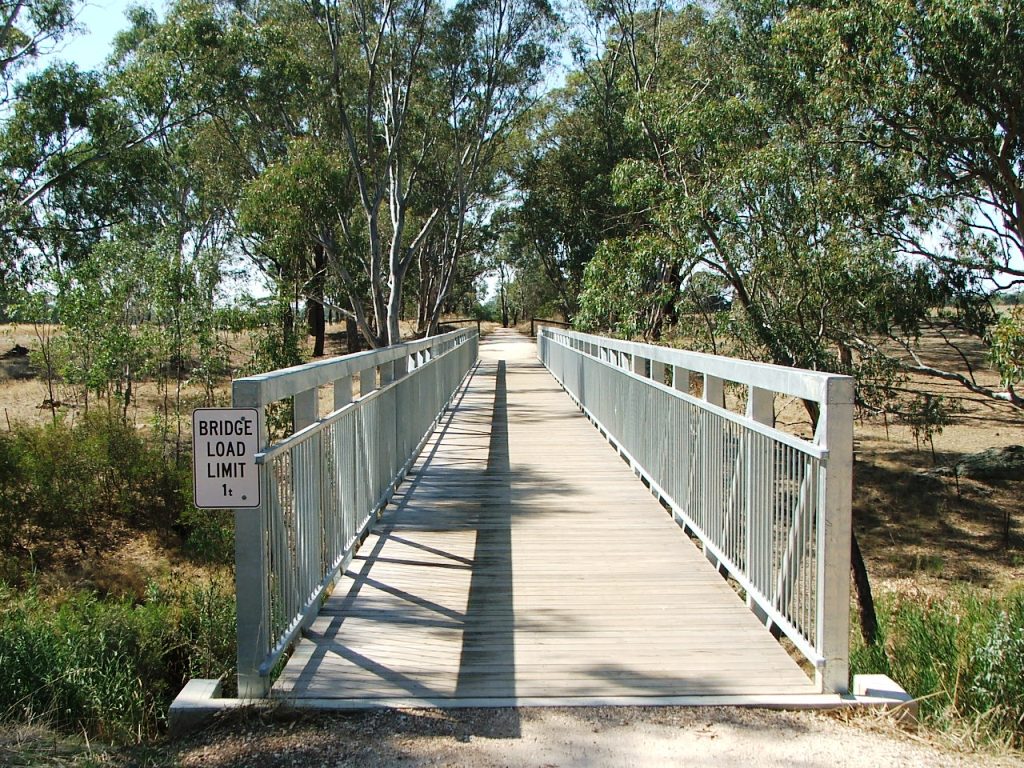
Marker Post 96 is passed, followed by a waterway with a replacement bridge. Marker Post 95 and a broken off railway telephone pole is passed before the second waterway and replacement bridge.
Marker Post 94 is passed before Hodge's Lane, the site of the fourth Gatekeeper's Cottage, and the short-lived Rail Motor Stopping Place No. 63. RMSP 63 was created in November, 1941, and was removed in December, 1941, with the withdrawal of the line's passenger train service. There is evidence of a brick-lined well just before the crossing. The site of Bowmont Vineyards, owned by Strathfieldsaye Shire's Councillor Thomas Craike, is straight ahead.
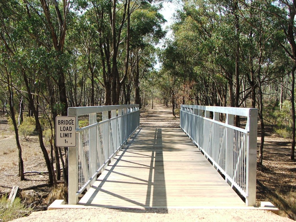
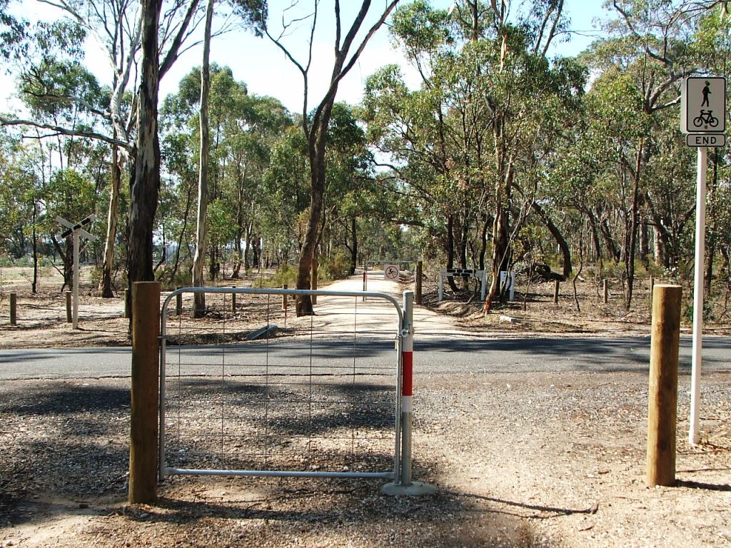
The Trail crosses the Axe Creek via a replacement bridge, the second bridge provided after line closure, crosses the Parish of Strathfieldsaye boundary, and arrives at Longlea Lane and Marker Post 93 - the fifth Gatekeeper location and the West end of Longlea Station. The remains of the cattle pit beams can be seen on the left before the crossing.
The Longlea State School and Roman Catholic Church and School were at the North end of Longlea Lane. The first Axedale Hotel built in 1852, followed by the Perseverance Hotel built before 1871, were on the opposite side of the highway.
Wilkie Road crossing.
Somerset Park Road crossing.
96 miles from Melbourne.
The first bridge.
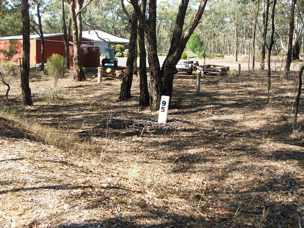
95 miles from Melbourne.
The second bridge.
Bennett's Road crossing.
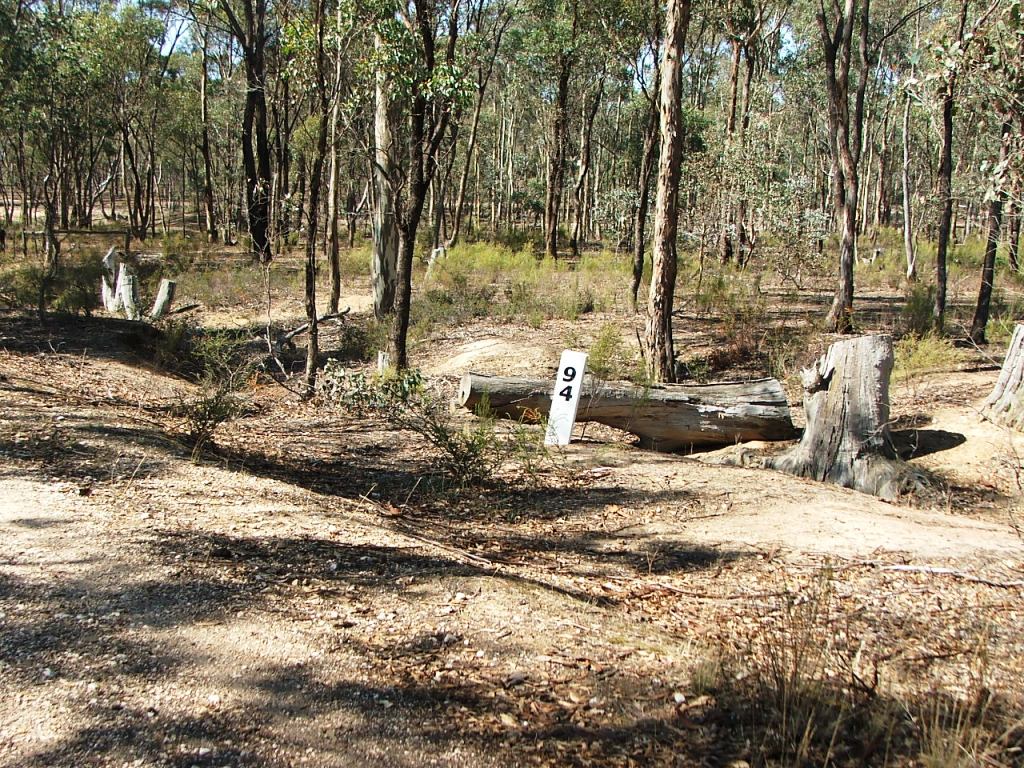
94 miles from Melbourne.
Text1
Historic Bowmont Vineyards entrance.
Remains of cattle grid beams.
Occupation crossing.
Axe Creek bridge.
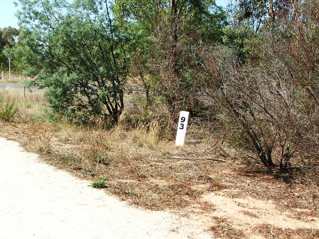
93 miles from Melbourne.
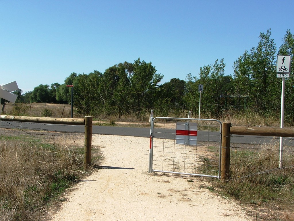
Longlea Lane crossing and entrance to Longlea Station..