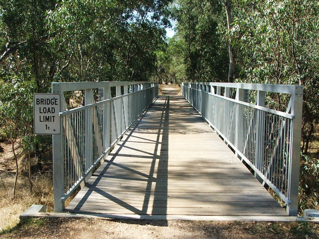
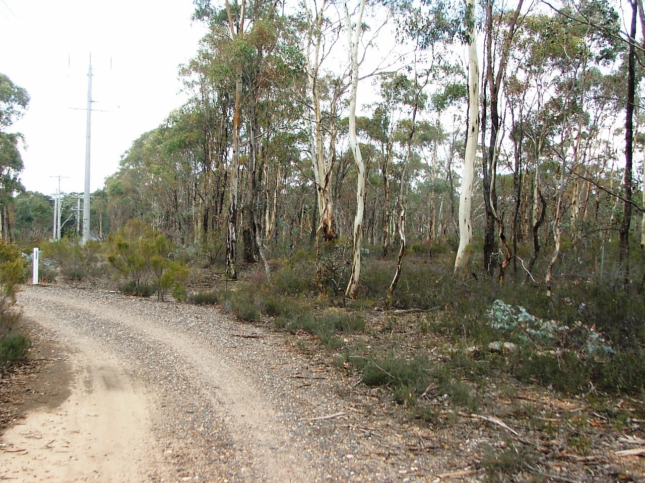
Sweeney's Creek bridge.
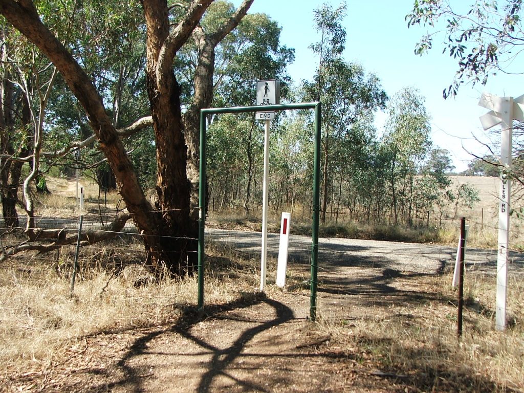
Bowles Road crossing.
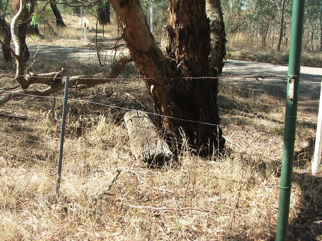
Cattle grid beam remains.
Section Highlights:
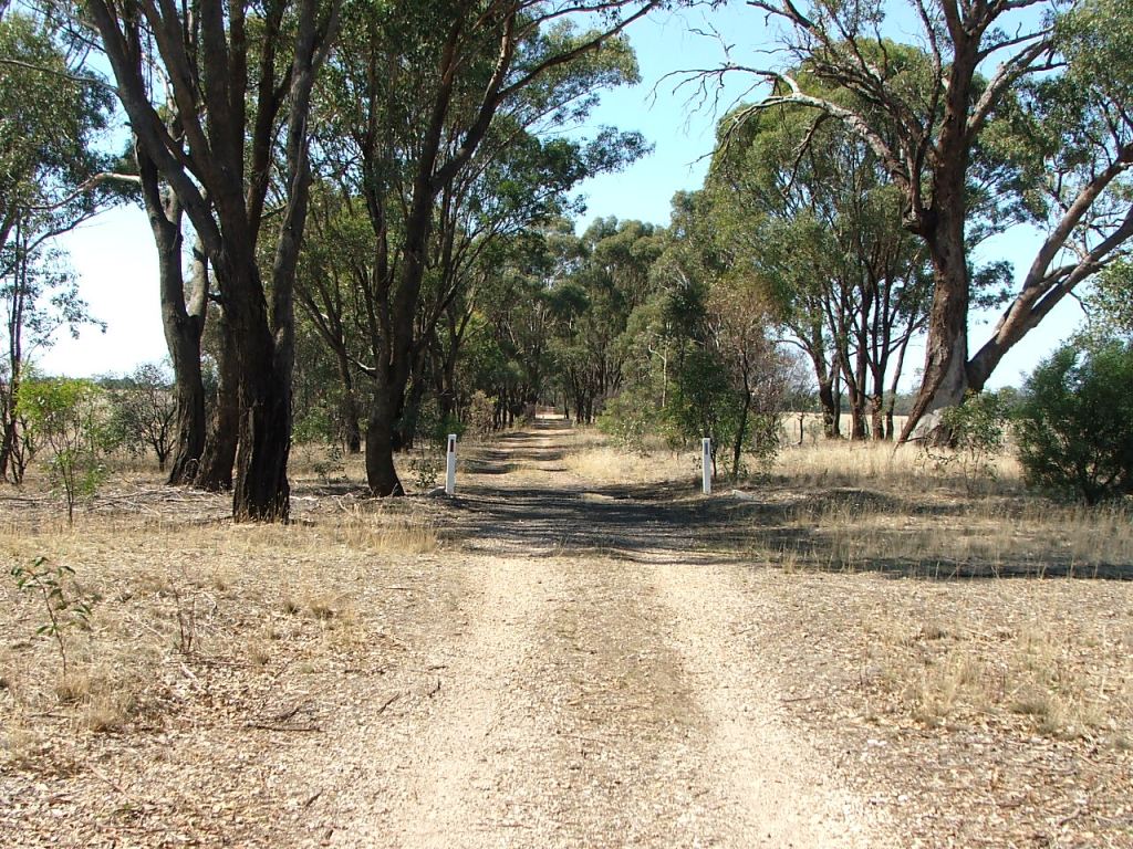
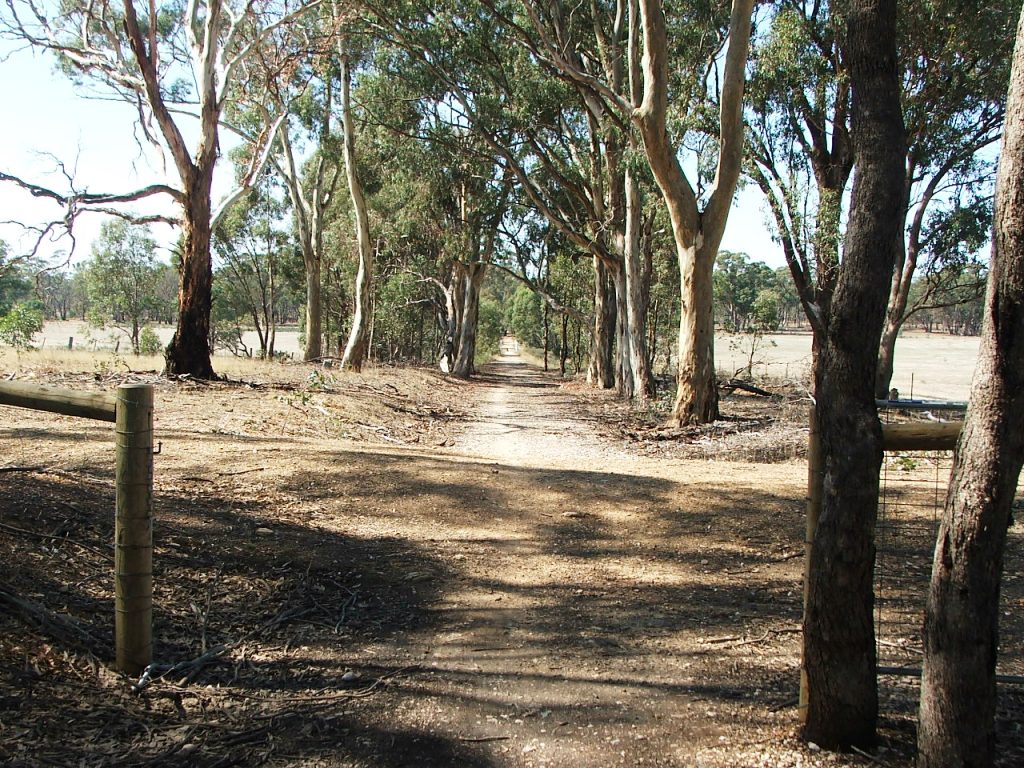
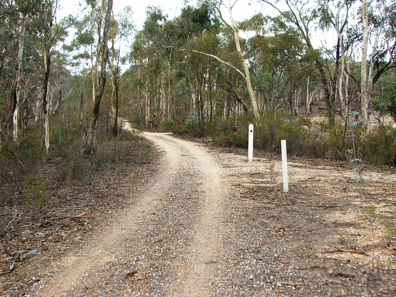
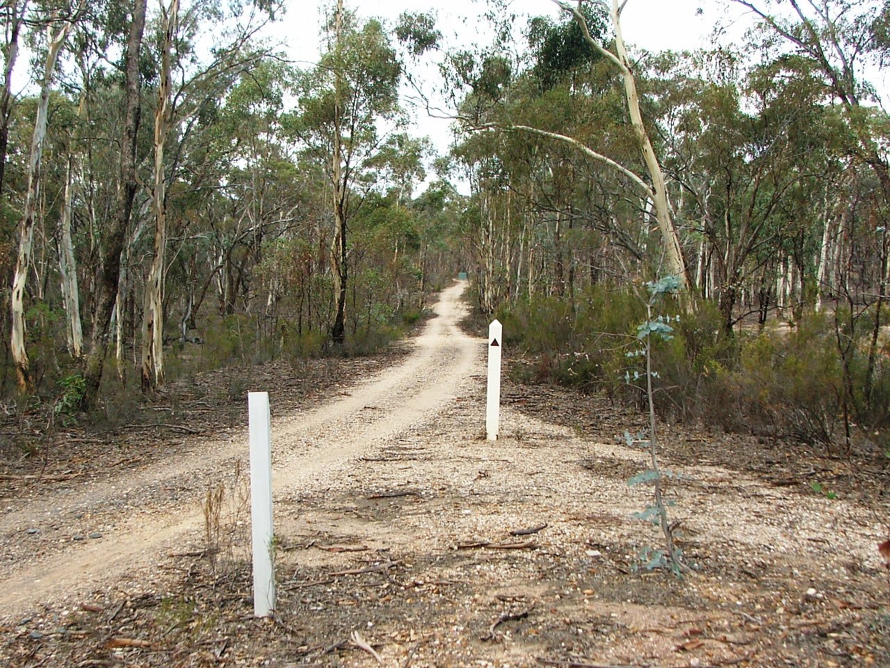
The Trail continues, crosses an Occupation Crossing and then crosses Sweeney's Creek via a replacement bridge before reaching the Bowles Road Crossing where cattle grid beam remains can be seen. It then what was an unidentified road crossing for a road that connected at the intersection of Bowles Road and McIvor Highway, before passing Marker Post 92, with the "grave" of the original post nearby.
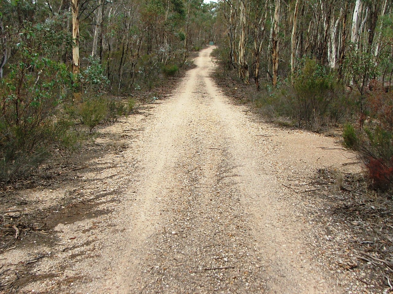
Another unnamed road crossing is passed and the Trail comes to what was named Sawpit Gully on the Railways Contractor's plan, crossed by a replacement bridge. The Trail then turns right, passing what was a road closed by the rail line, crosses what was referred to as Blind Gully via another replacement bridge, and arrives at the Giri's Road Crossing.
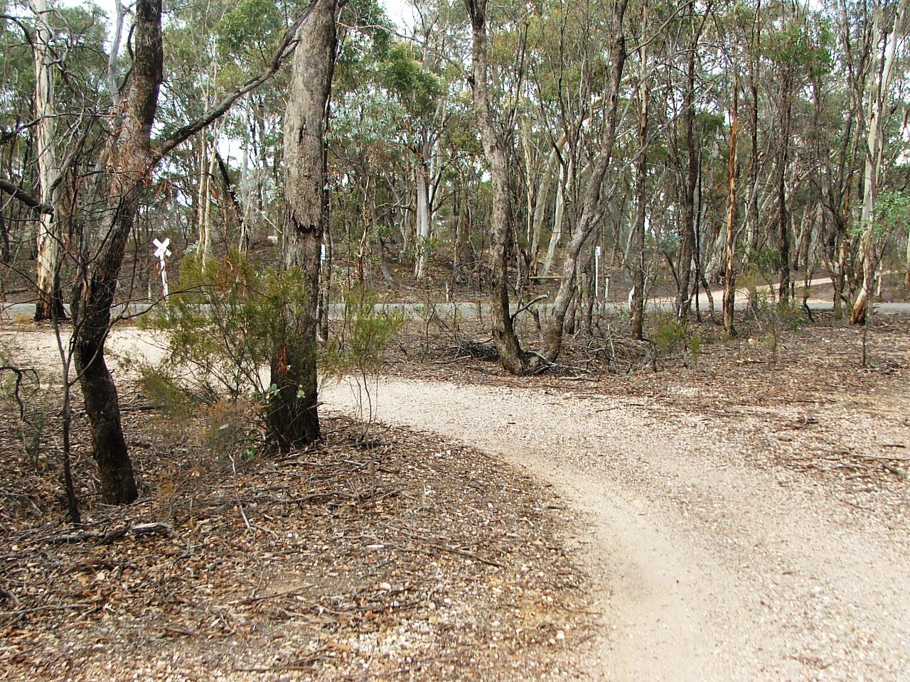
The Trail turns left and then passes the old site of the Acott Hotel, which was on the left. Its name was changed to Axedale Hotel in December, 1891, becoming the second hotel to be named Axedale Hotel - none of which were in the town. The Acott Gold Mine was on the right and the road, proposed with the line construction, can still be seen. There were a number walking tracks between the mine and the hotel that the rail line cut.
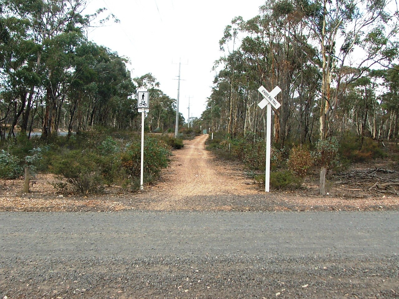
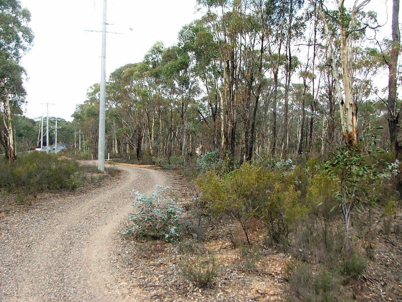
Venturing close to the McIvor Highway, the Trail runs parallel and to the left of the rail line bed and reaches the Hickey Road Crossing. It then continues past Marker Post 90, then the entrance to the closed Arakoon Resort, deviates from the rail line slightly, straightens and rejoins the rail alignment where the Down Home Signal for Axedale Station used to be, crosses a culvert which was once a timber bridge, and arrives at Taig Road and the entrance to Axedale Station. Cattle grid beams are visible where the line crossed. The South side entrance road to the station is also visible if you look hard and know where to look. It is within private property today.
Sweeney's Creek bridge.
Bowles Road crossing.
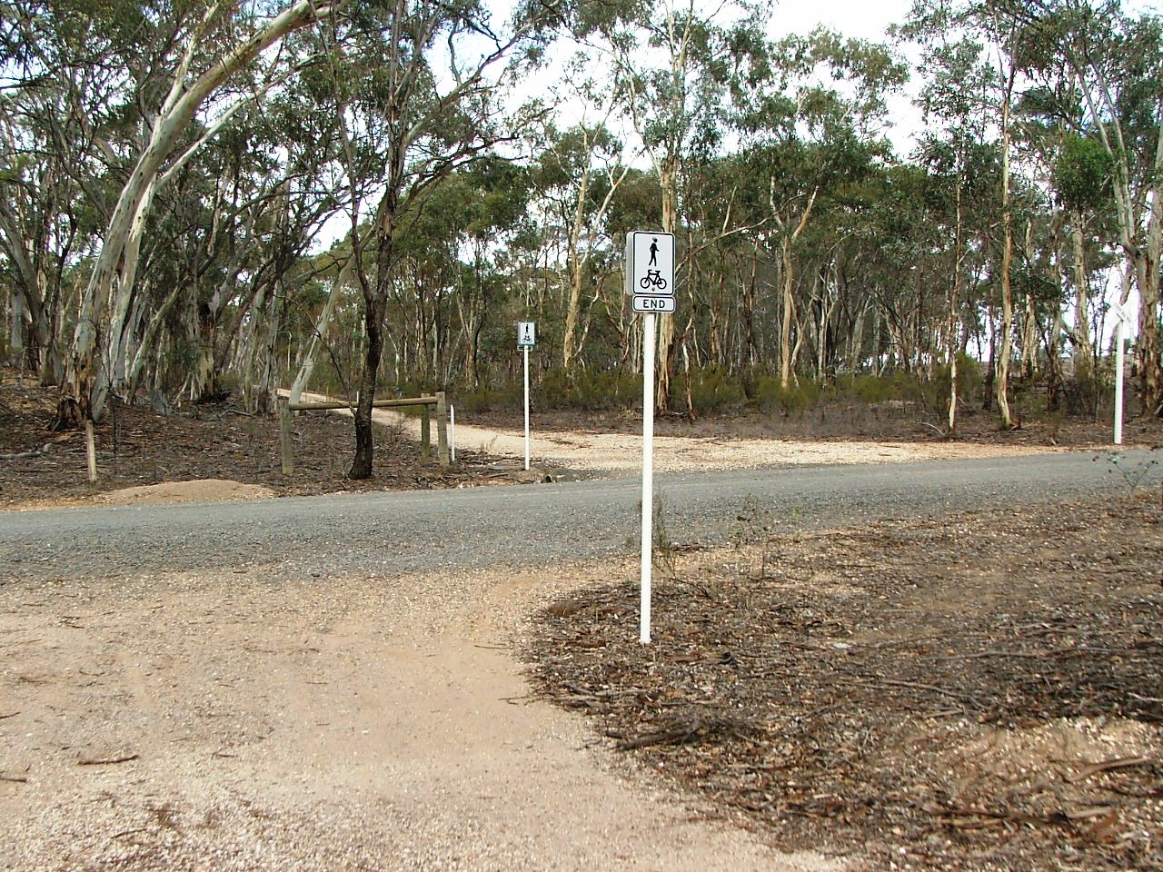
Cattle grid beam remains.
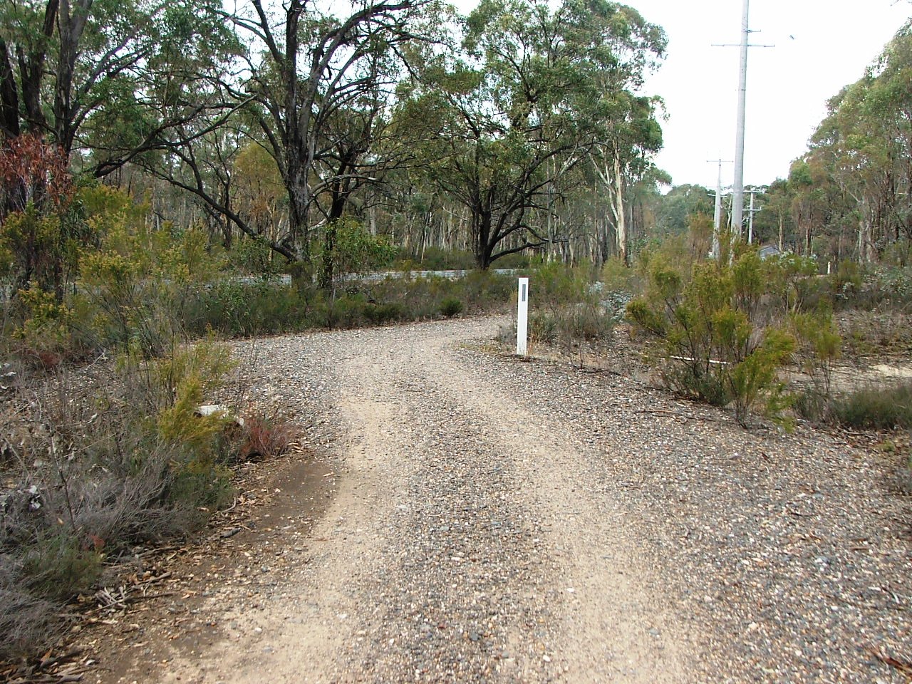
PCR Crossing. This was once a road crossing.
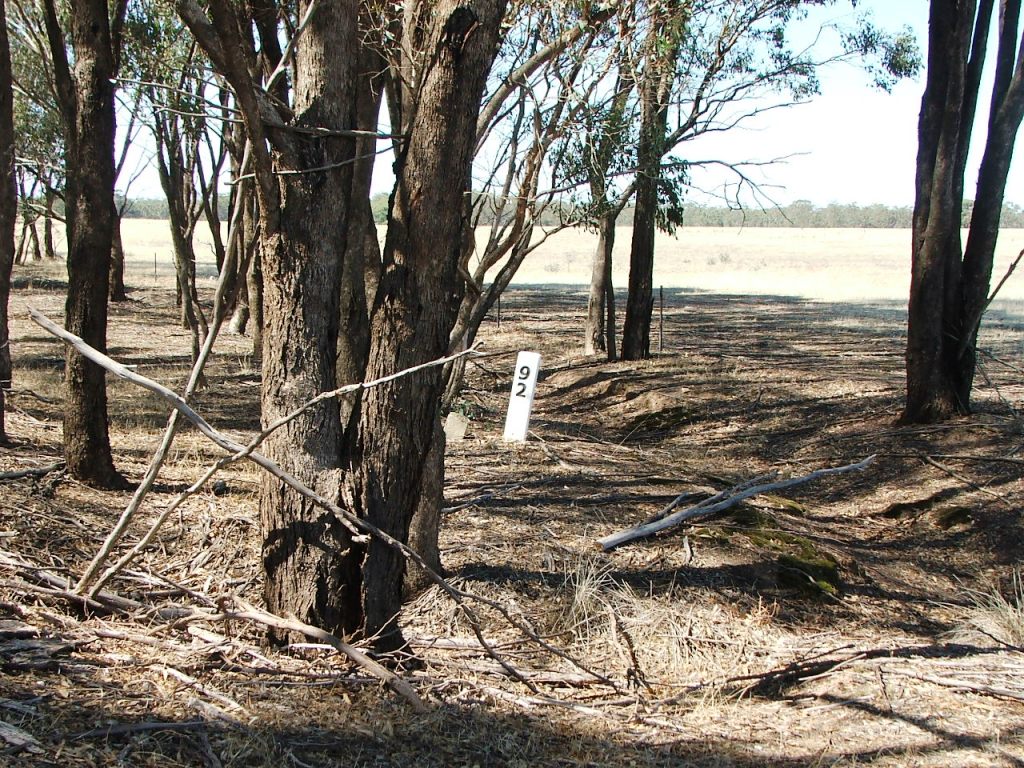
92 miles from Melbourne.
Occupation Crossing. This was a road, closed by the railway.
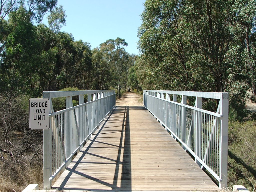
Sawpit Gully bridge.
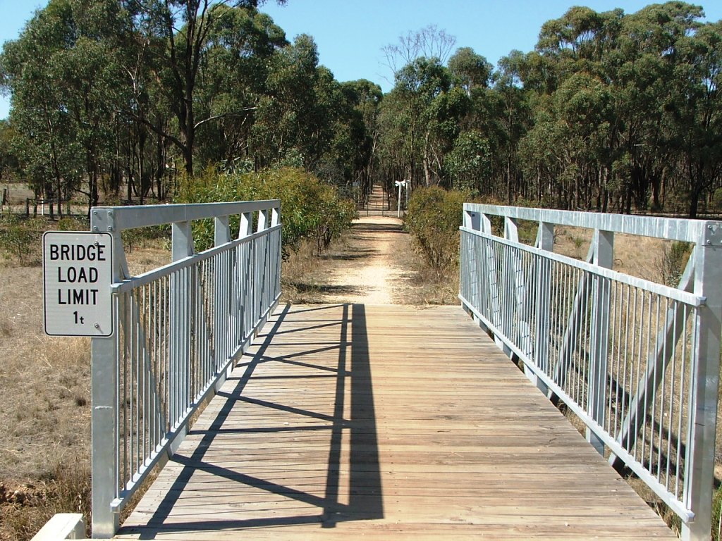
Blind Gully Bridge.
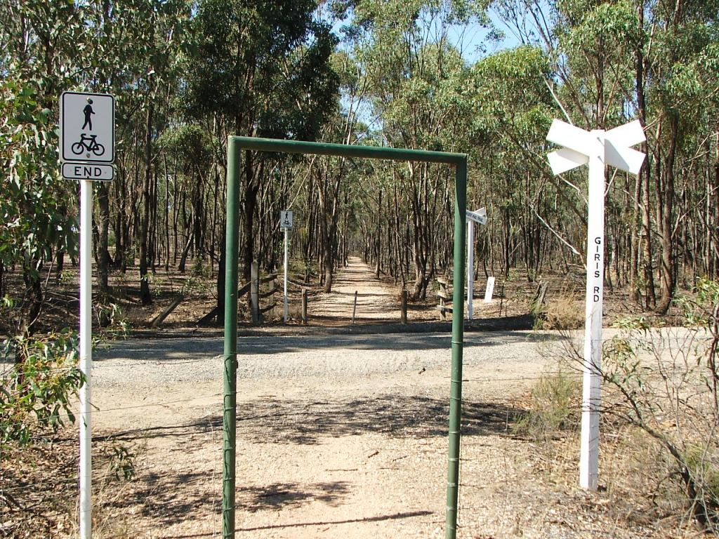
Giri's Road crossing.
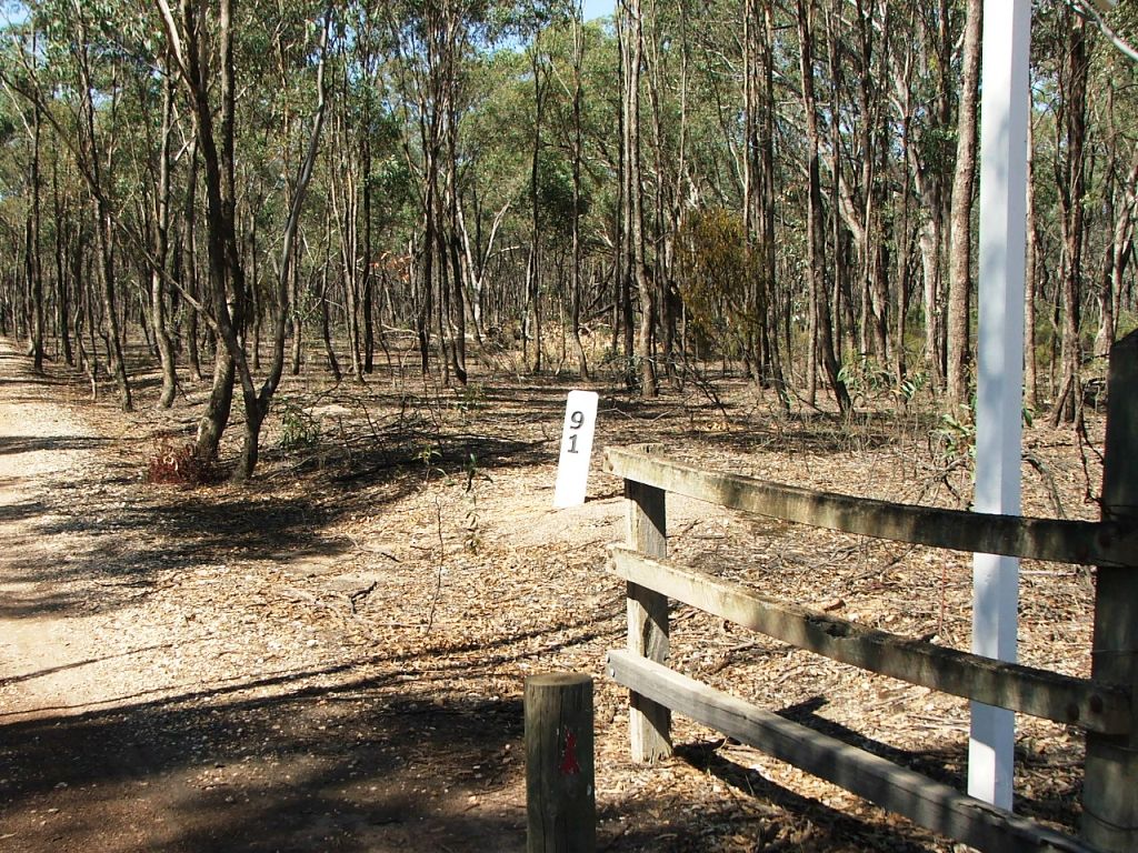
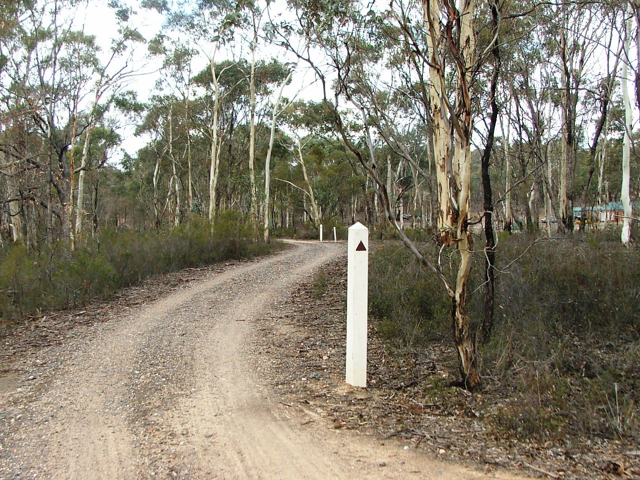
91 miles from Melbourne.
Acott Mine PCR.
Detailed information for the Axedale Quartz Mining Co..
Approaching Hickey Road. The line appears to have been very slightly right.
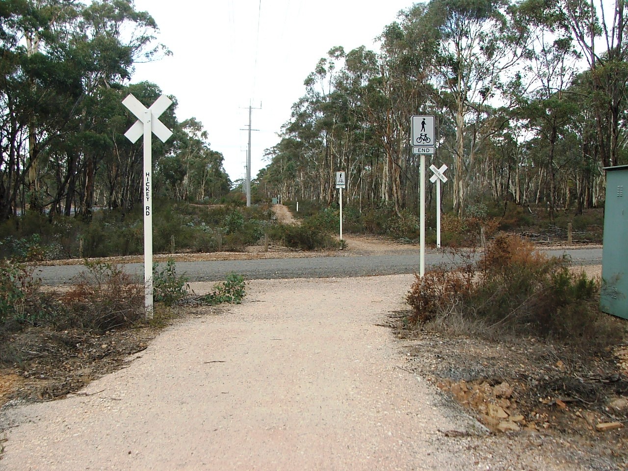
Hickey Road Crossing.
East side of Hickey road.
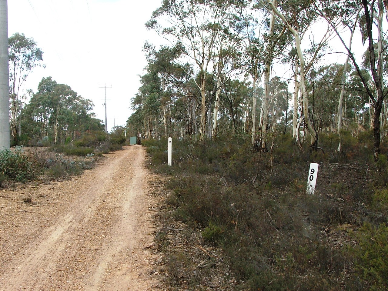
Replica Marker Post 90.
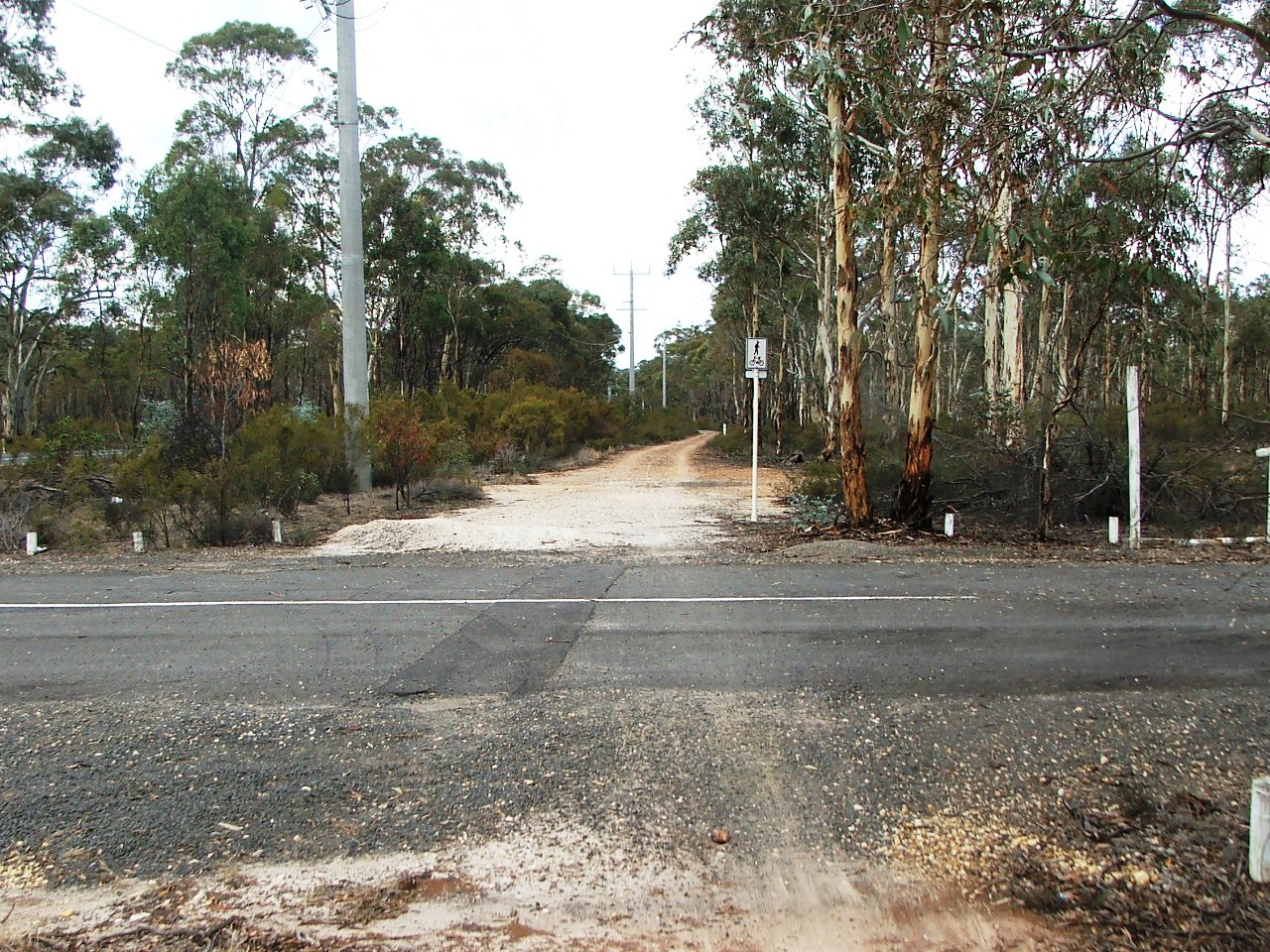
Disused Arakoon Resort entrance.
The Trail leaves the rail bed which continues straight ahead, is left at this point to cross a watercourse culvert.
Crossing the watercourse culvert. McIvor Highway in the background.
The rail bed is visible in the distance in the centre of the image. McIvor Highway is at the left.
The rail bed is at the two white posts in the distance.
Location of the Axedale Station Up Home Signal.
The Trail rejoins the rail bed.
There was once a 5 x 11' (16.77m) bridge here.
Deviation to the left to cross Taig Road.
Taig Road PCR Crossing, entrance to Axedale Station.