On exiting the Strathfieldsaye Station, a few metres to the right of the Rail trail, the line continued over Wilkie Road PCR, the site of Gatekeeper No.3, removed in the 1890s.
In 1886 there was a significant watercourse as well as a One Chain Road here. The line resulted in closure of the road and the crossing of the watercourse by a 5 x 11' openings bridge. The closed road became Manning Court on the north side.
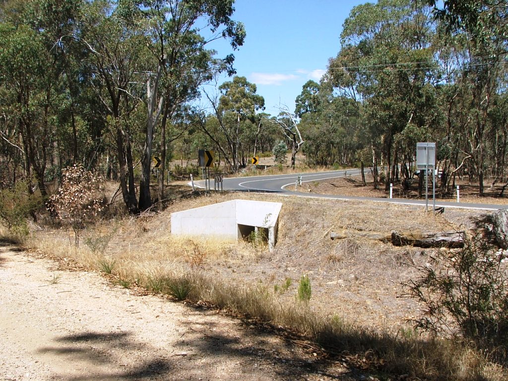
On the south side of the line, the closed road became the re-aligned corner of Binks Road. The bridge no longer exists as it was replaced by a culvert. A Council gravel reserve existed a few hundred metres to the south (right) of the line.

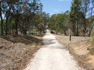
Marker Post 96, approaching Somerset Park Road PCR.

Somerset Park Road PCR is in the background.
The first of two bridges.
The second of two bridges.
Marker Post 97, a short distance from Somerset Park Road PCR.
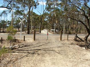
Bennett's Road PCR..

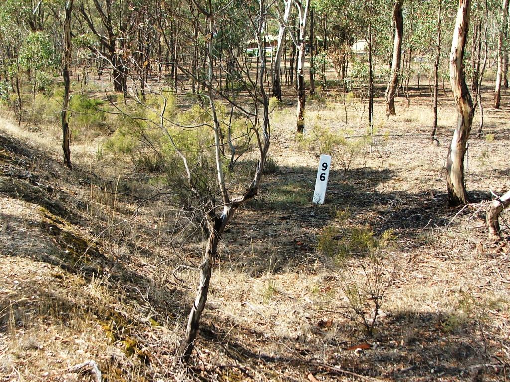
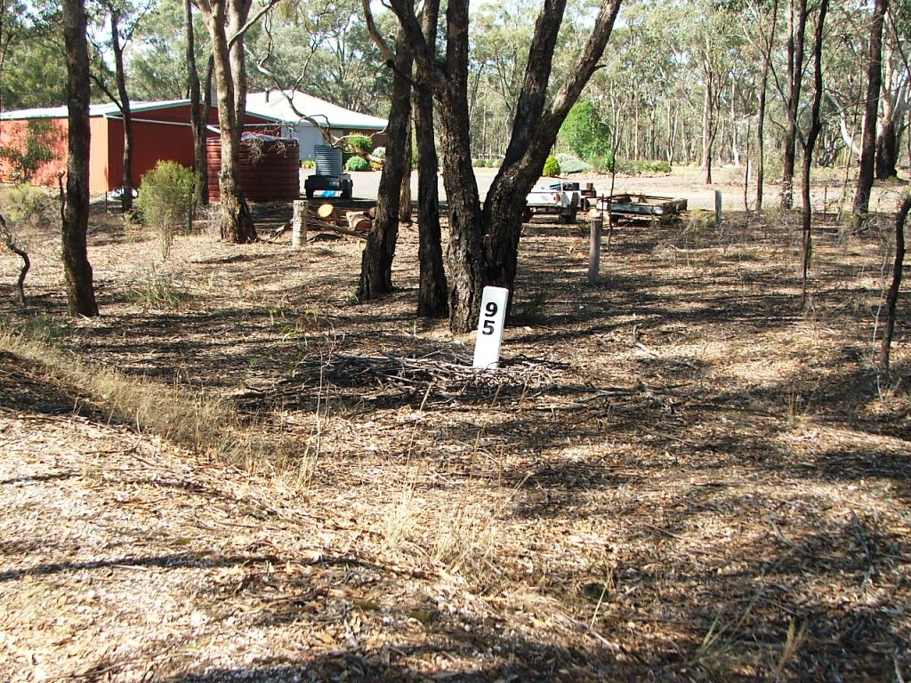
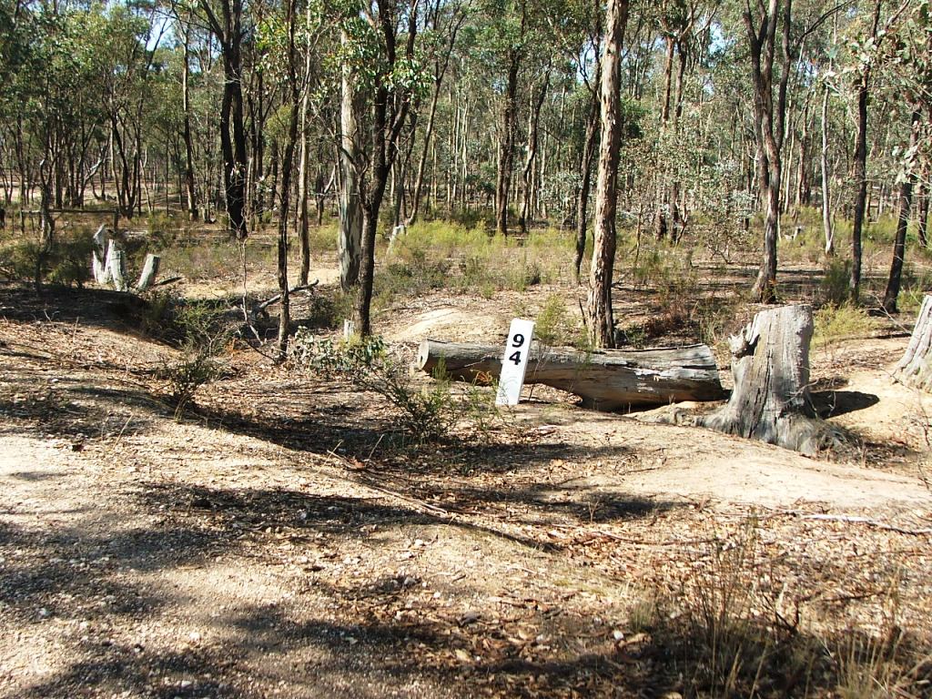
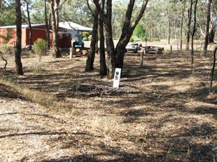
Marker Post 94, approaching Hodge's Lane.

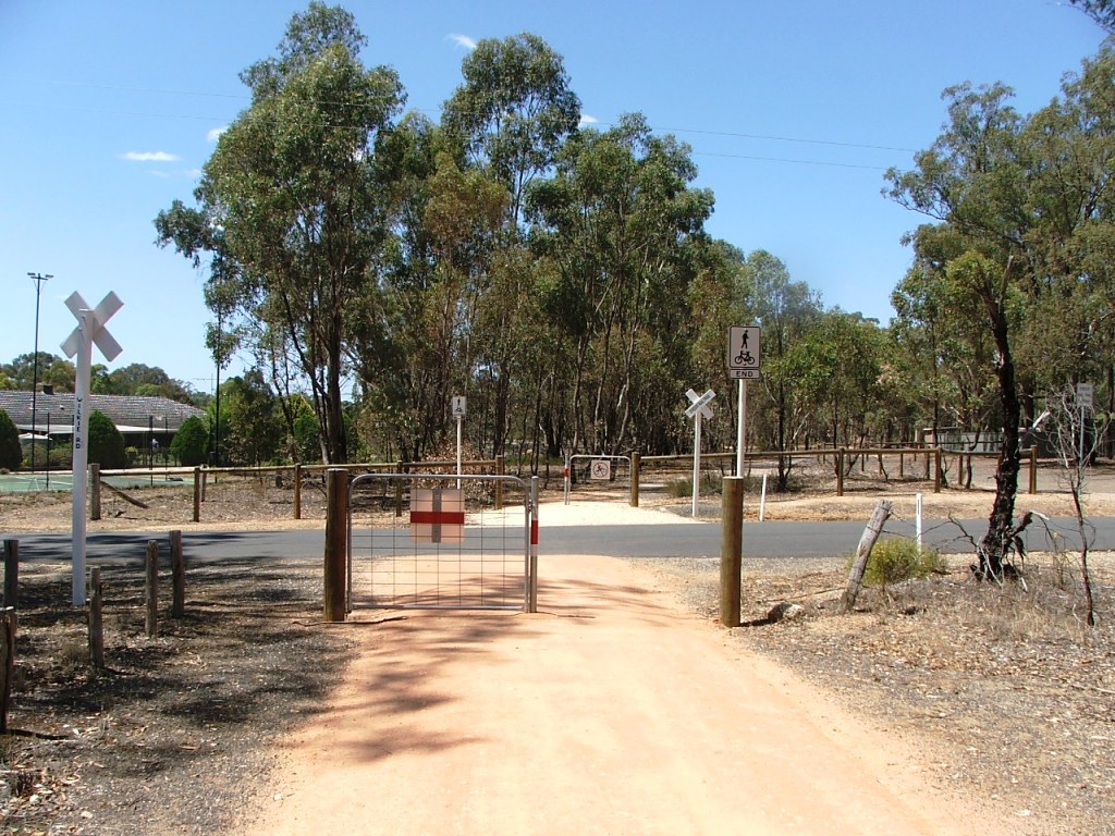
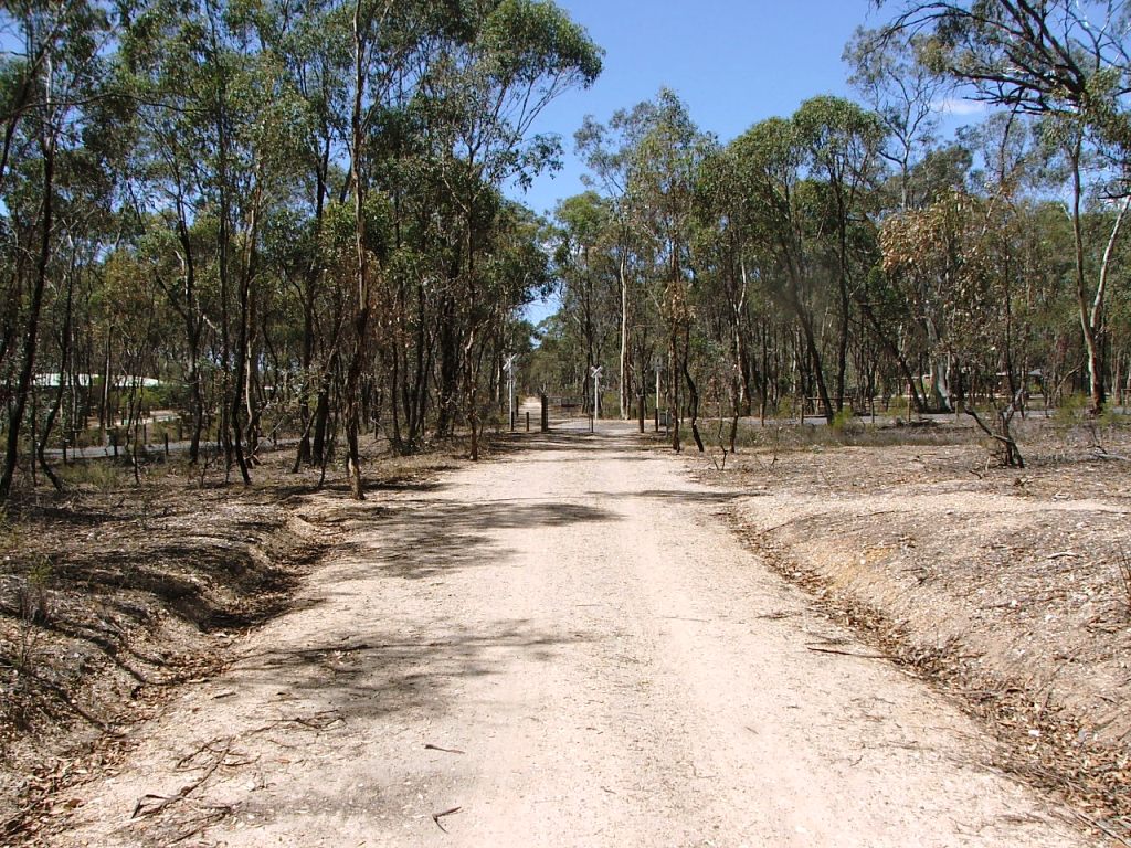
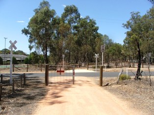
Hodge's Lane PCR, the site of the Supervising Engineer's office, and Gatekeeper No.3, removed in th 1890s. It was also the site of the very short-lived Rail Motor Stopping Place No.63 which lasted only a few weeks to December, 1941, when the rail passenger service was withdrawn.
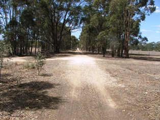
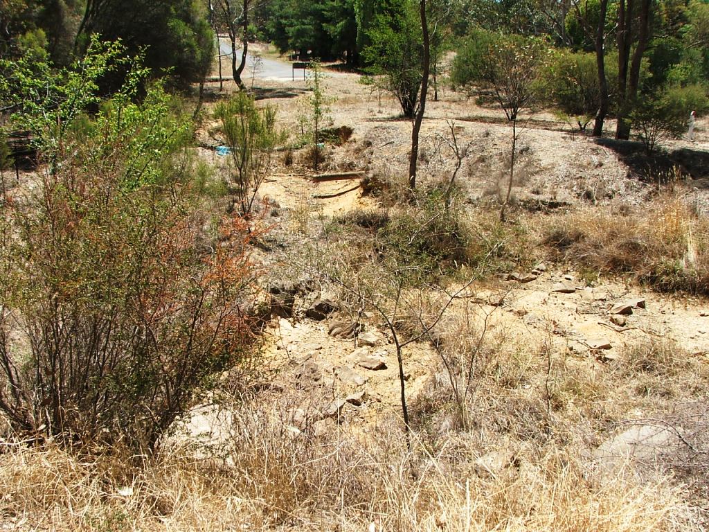
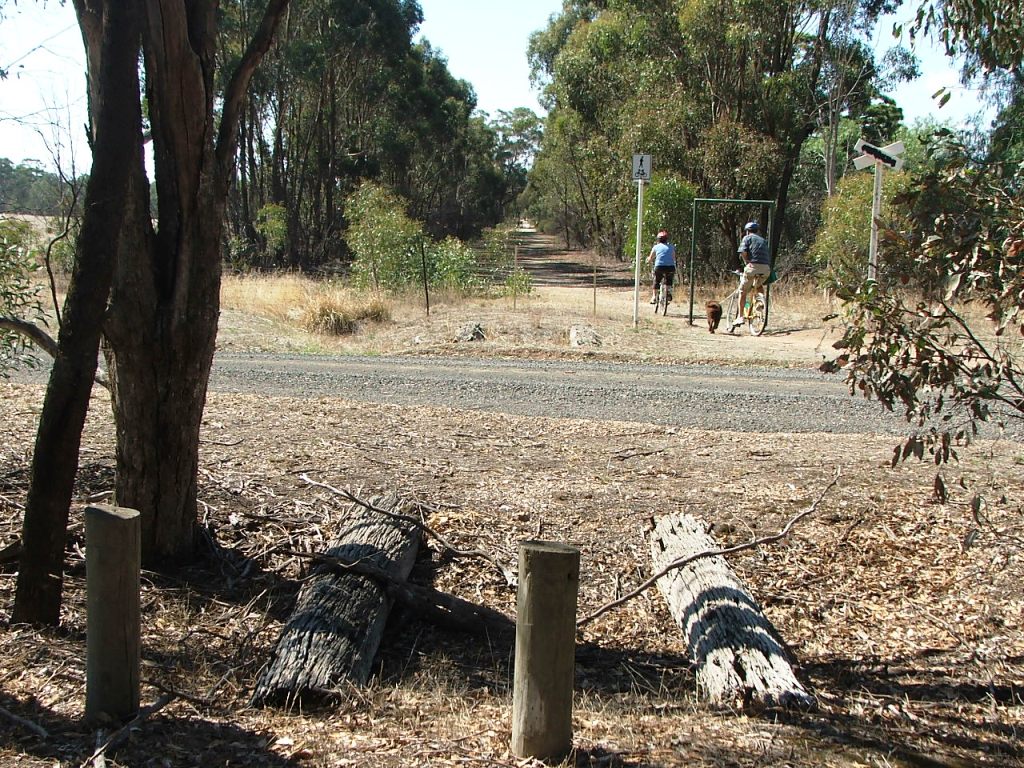
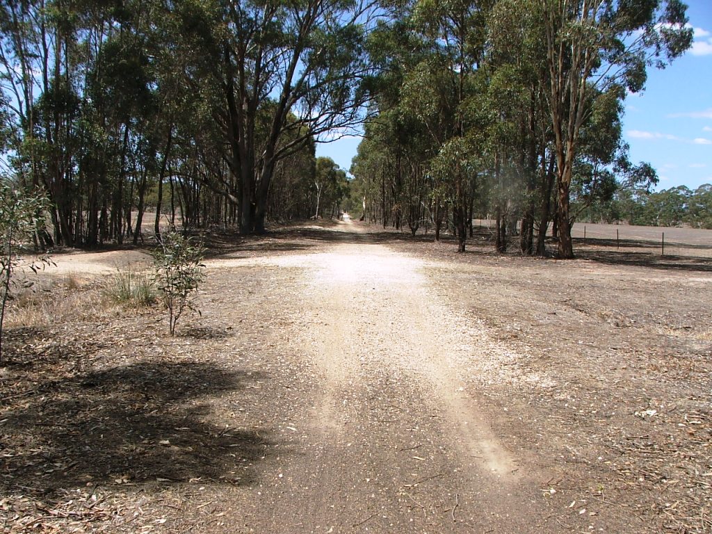
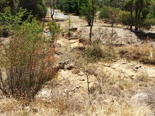
Occupation Crossing between Hodge's Lane PCR and Axe Creek Bridge. Old Bowmont Vineyards on the right.
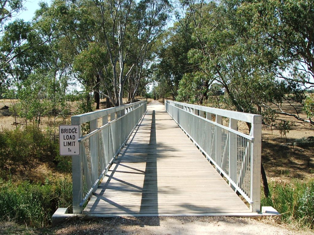
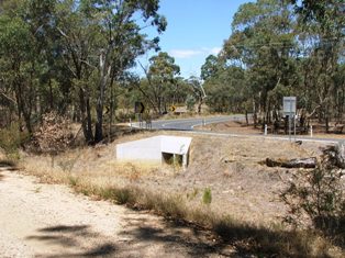
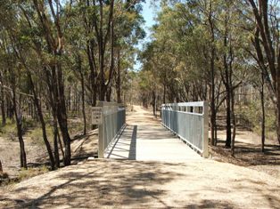
Axe Creek Bridge ahead. The rail bridge was 17 x 15' openings - 255' or nearly 78m in length.
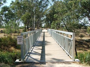
Axe Creek Bridge ahead. The rail bridge was 17 x 15' openings - 255' or nearly 78m in length.
The Parish Boundary at the entrance to Cutting xx.

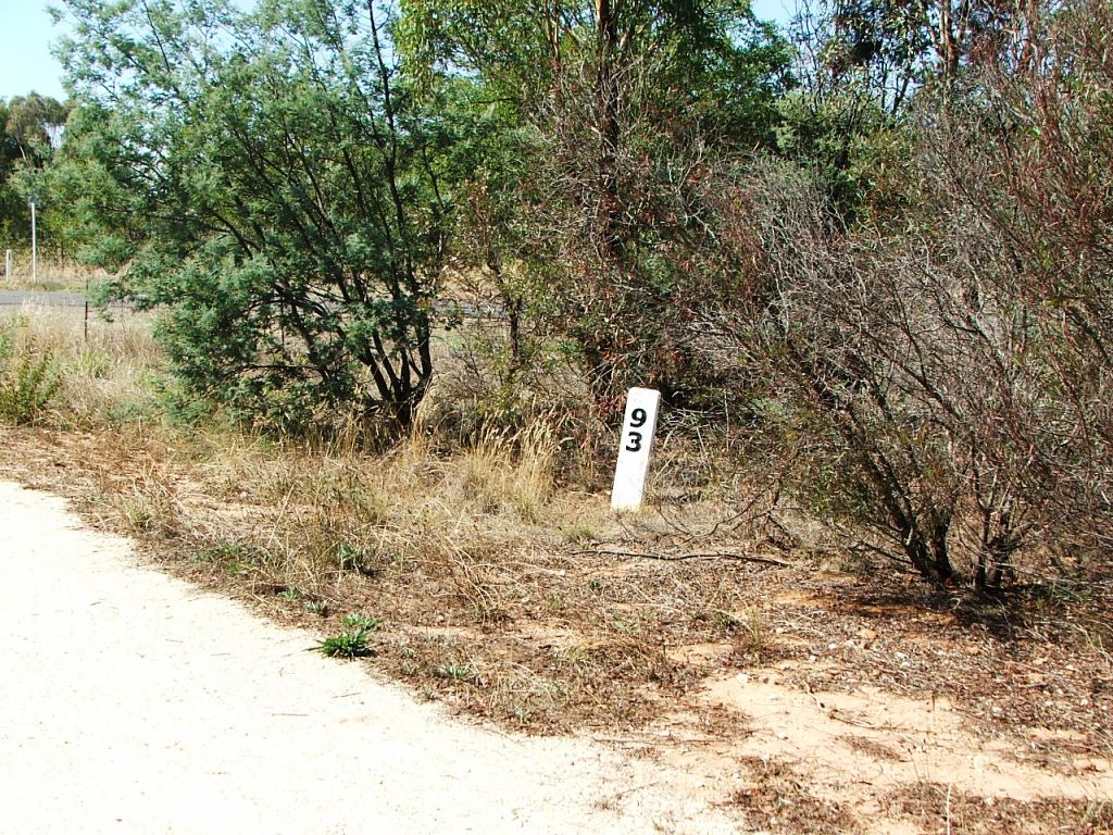
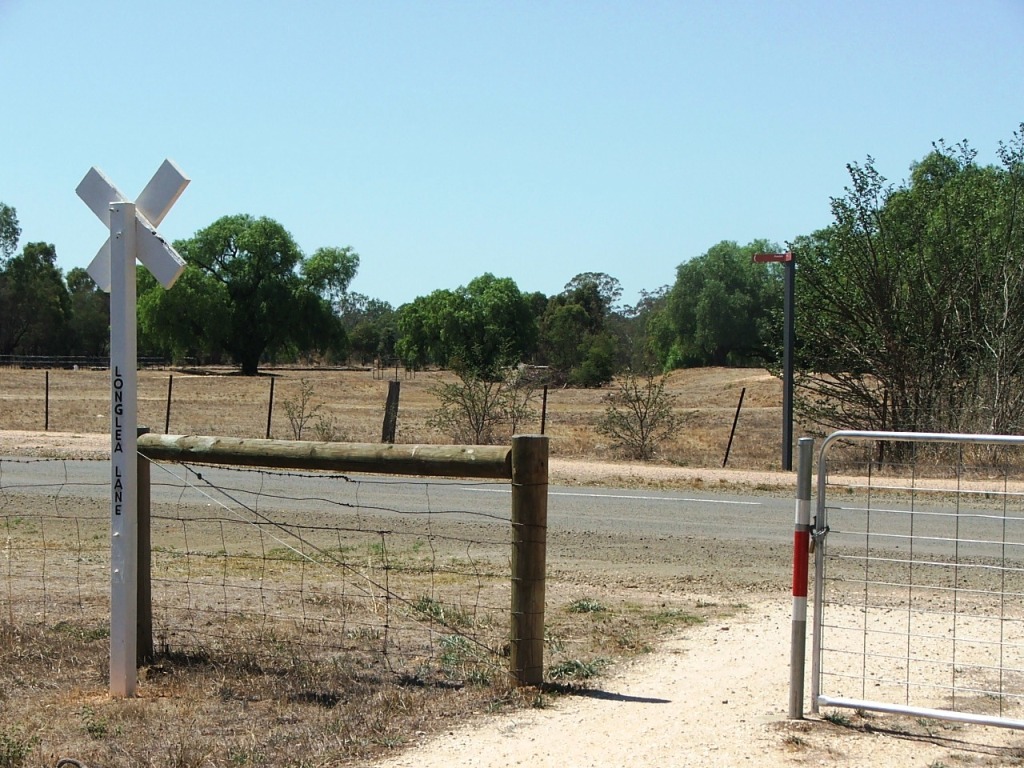
Marker Post 93, just before Longlea Lane and the entrance to Axe Creek (Longlea) Station.