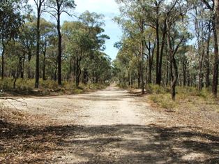
Line ran in overgrown Cutting 1 on the right, through to curve in background.
The Bank 1 curve towards Murphy Street.
The 7 x 11' openings bridge in Bank 1 has disappeared into history. It is a large culvert today. I have no details of when it was removed.

Murphy Street has been re-aligned since the rail line was constructed. Gravel in the foreground indicates the original crossing's location.
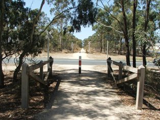
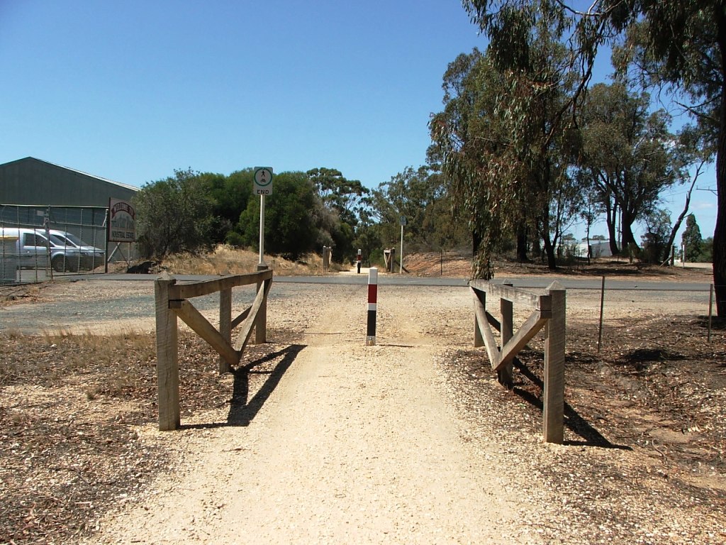
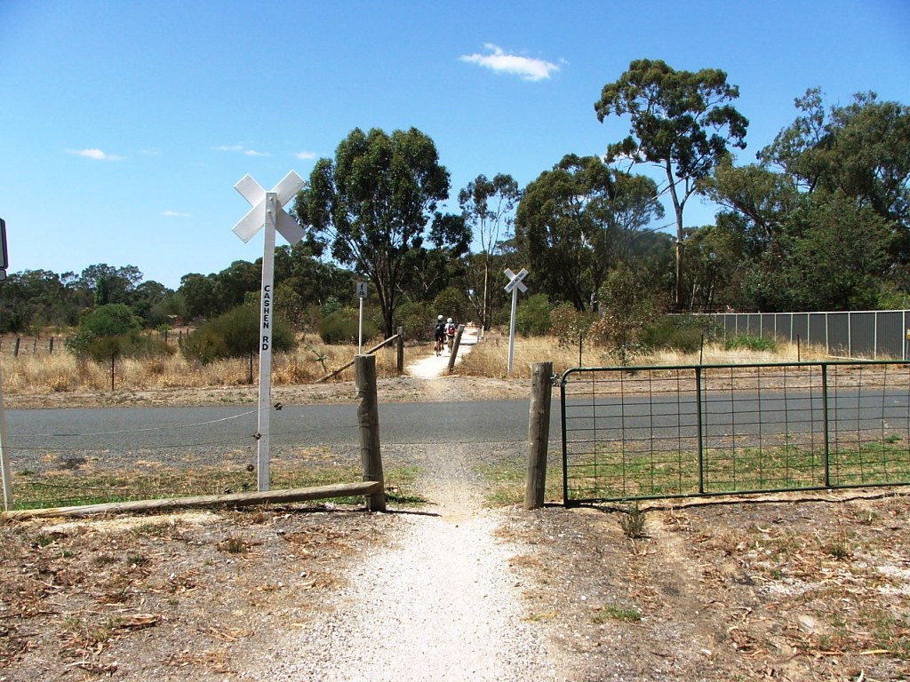
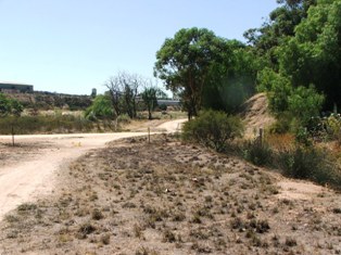
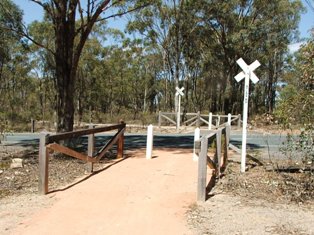
Care needs to be taken when cycling across McDowall's Road.

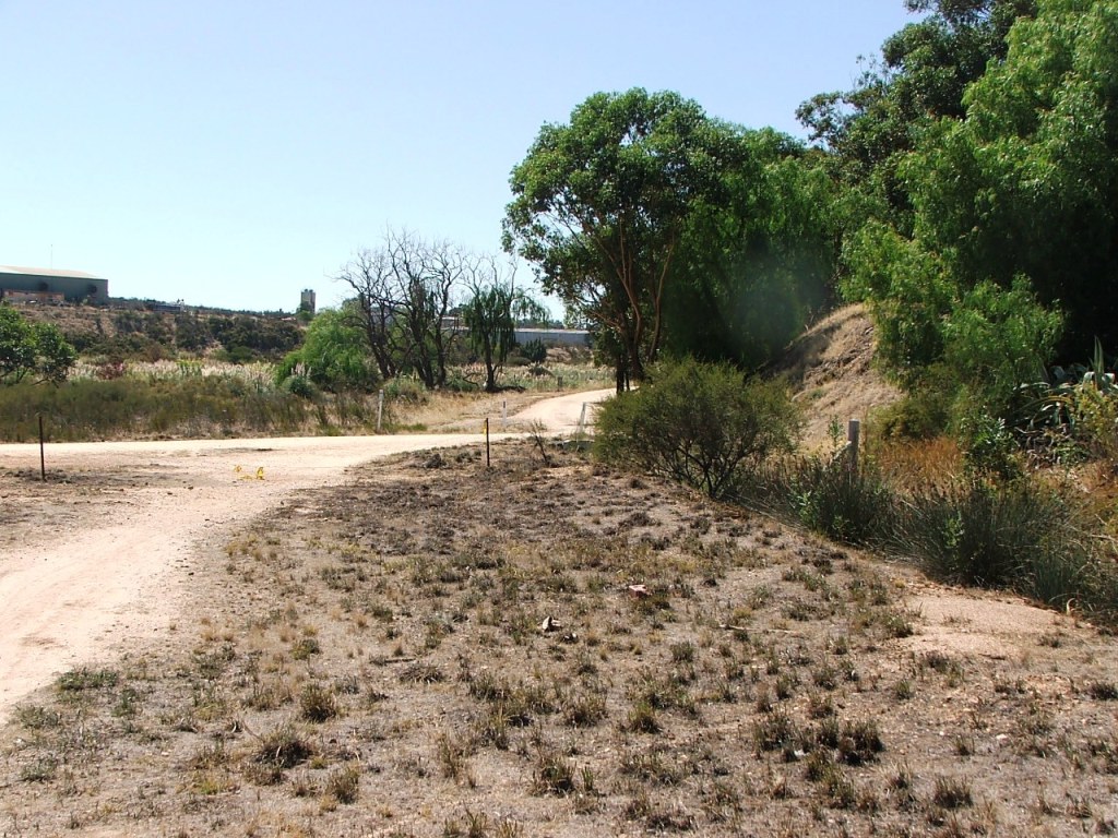
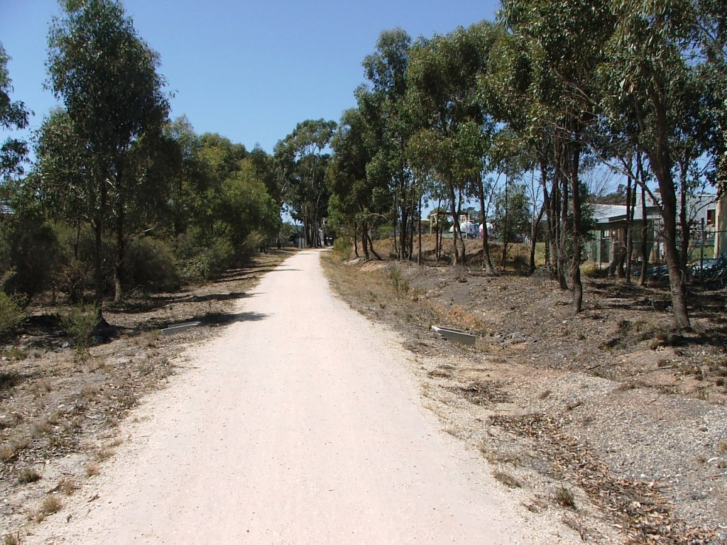
Mayfair Park is an industrial site that was served by a siding, a little further along, named Freezing Company or Victorian Inland Meat Authority, or even Canada Packers, depending on the year.
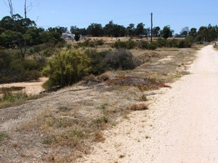
It takes a studied look to see where the siding that served Mayfair Park once left the main line. A buffer stop once existed in front of the crossing on the left in the background.
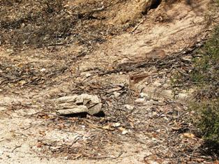
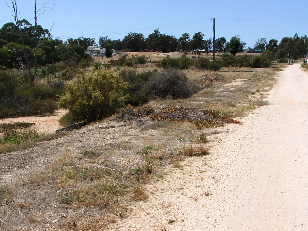
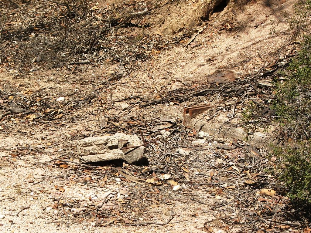
Part of the apparatus used for points operation for the Rangelea Siding is still visible in a right side bank where the entrance to the siding left the main line which continued through what is now a business property.

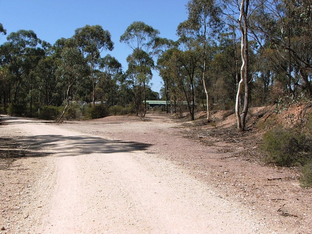
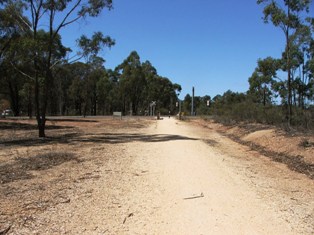
The line continued straight ahead. Rangelea Siding is to the left.
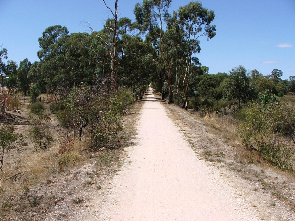
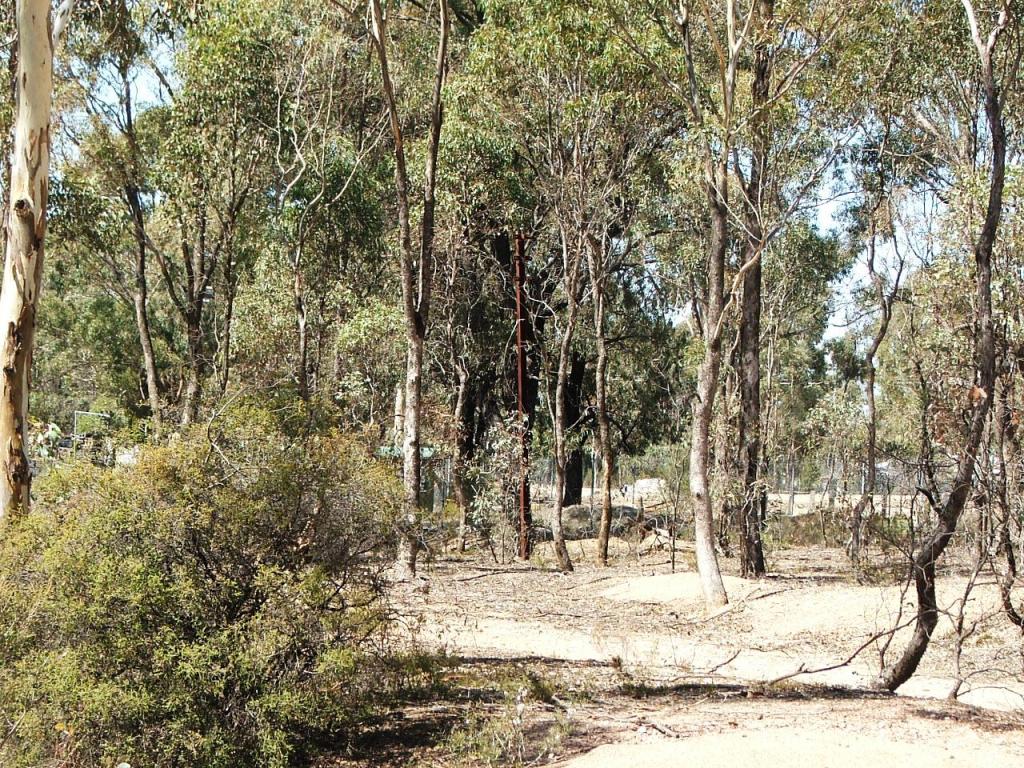
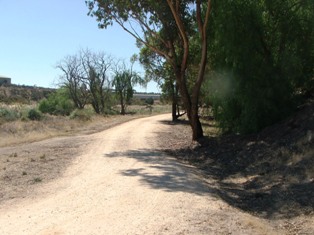
Old railway telephone pole on main line towards Atlas Road.
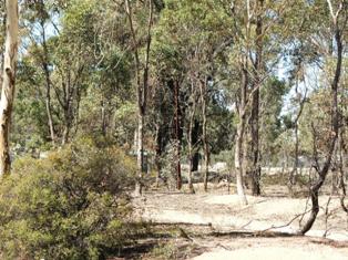
Rangelea Siding track bed with gantry crane track turnout to the left.
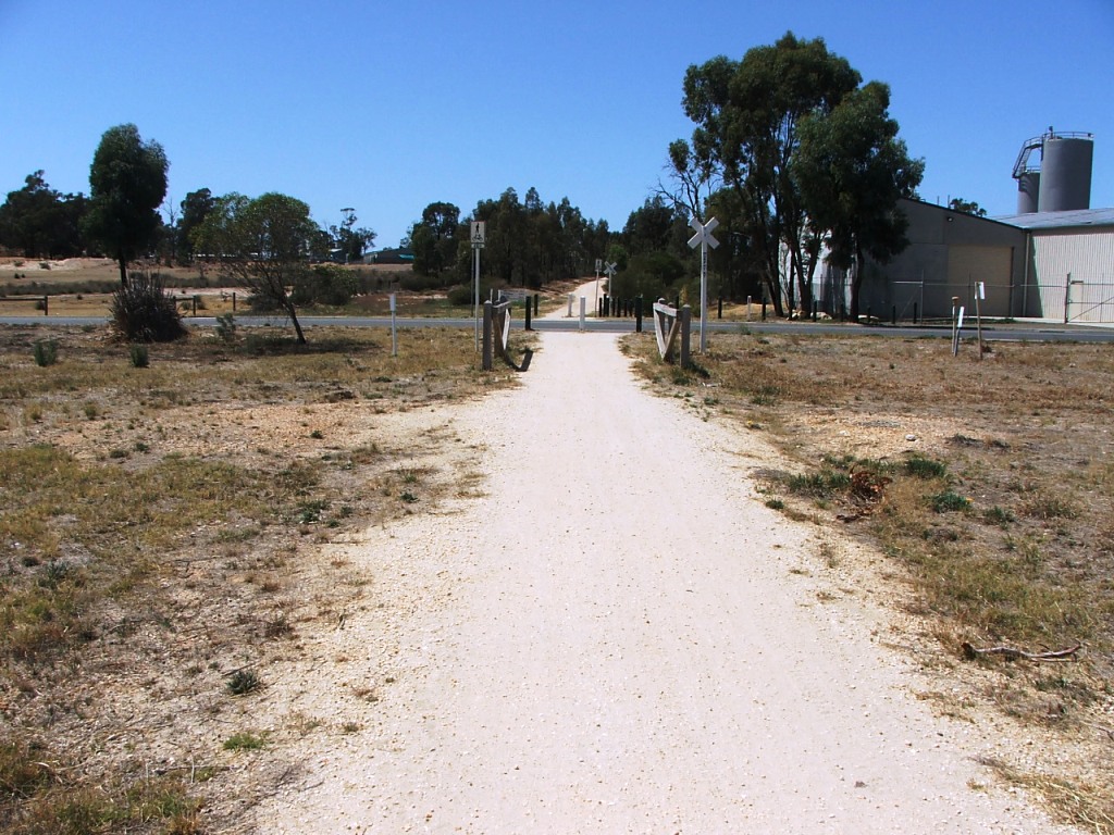
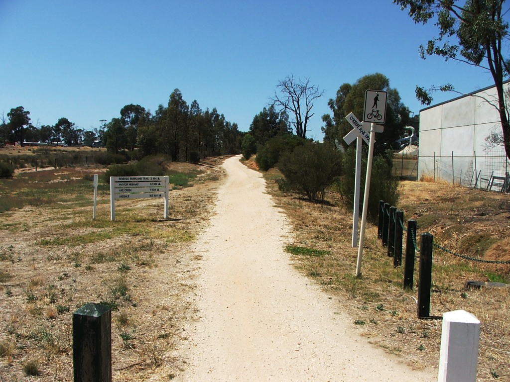
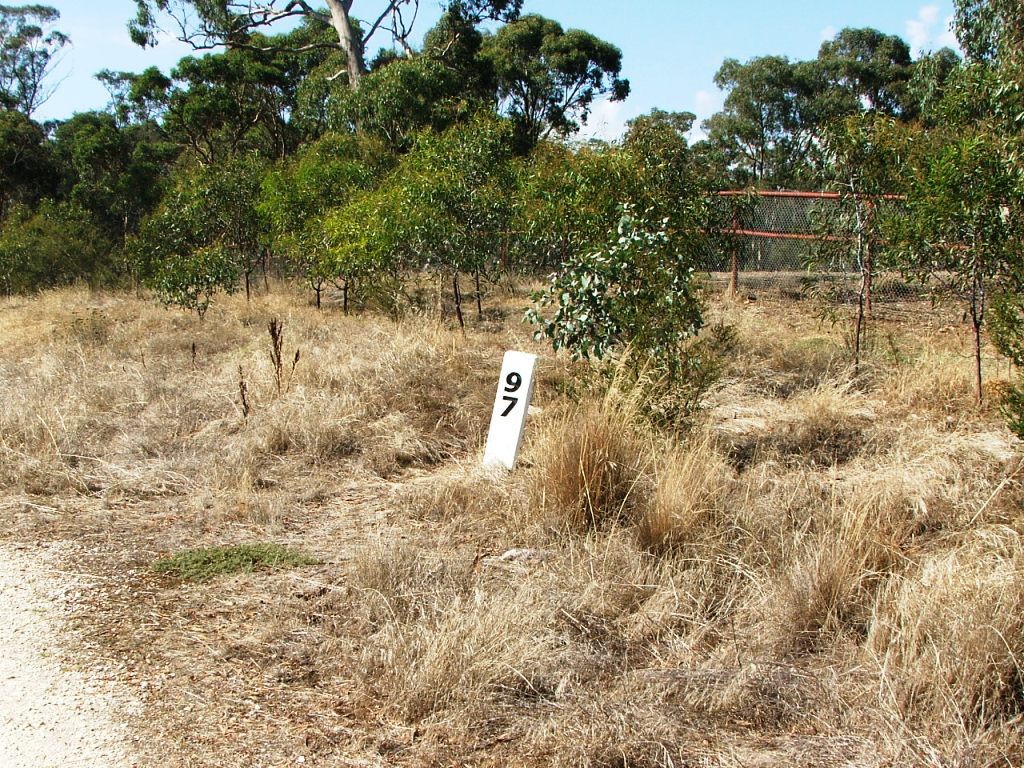
Mentioned as cross roads on the contract. There was a north road that no longer connects. It may have existed only until the creation of the nearby Rangelea Siding to avoid a PCR Crossing at that point. The main line was on the right. Marker Post 98 is on the other side of the crossing and the trail runs on the rail bed to half way to McIvor Highway.
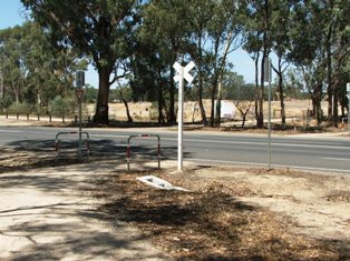
McIvor Road (now Highway) was the site of a Gatekeeper No.2 until the 1890s. A triple fatality occurred here on Jan 1, 1900.
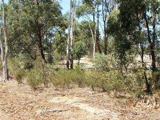
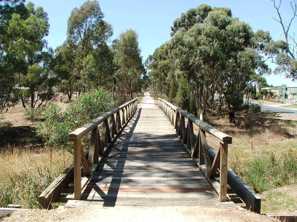
There was once a bridge over Splitter's Creek here, on the same alignment as the Rail Trail that can be seen behind the trees in the background.
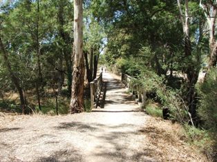
The bridge on this site today is vastly different to that which existed in 1888. It crosses a branch of Splitter's Creek.