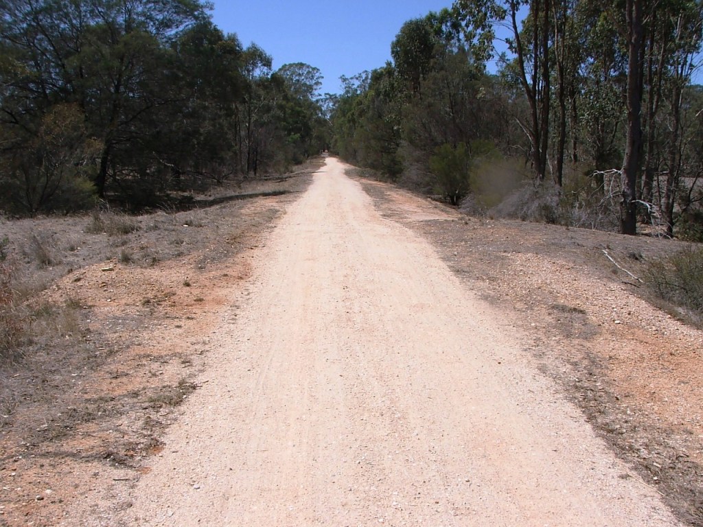
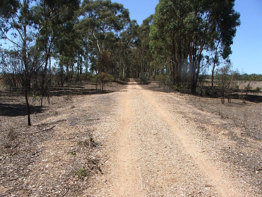
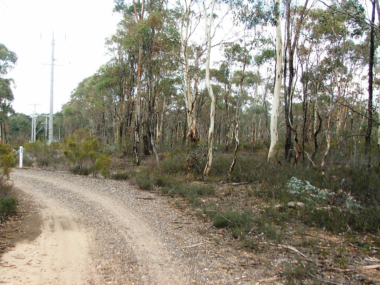
Occupation Crossing before Sweeney's Creek Bridge.
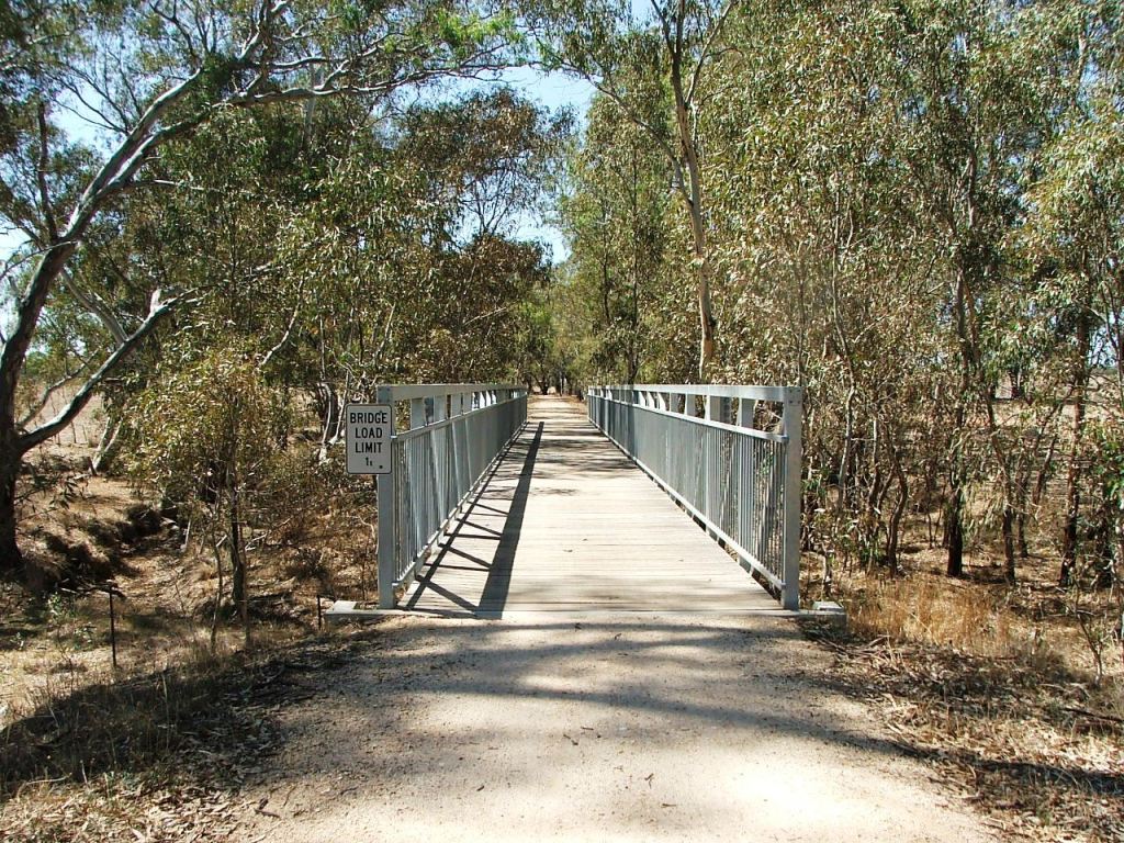
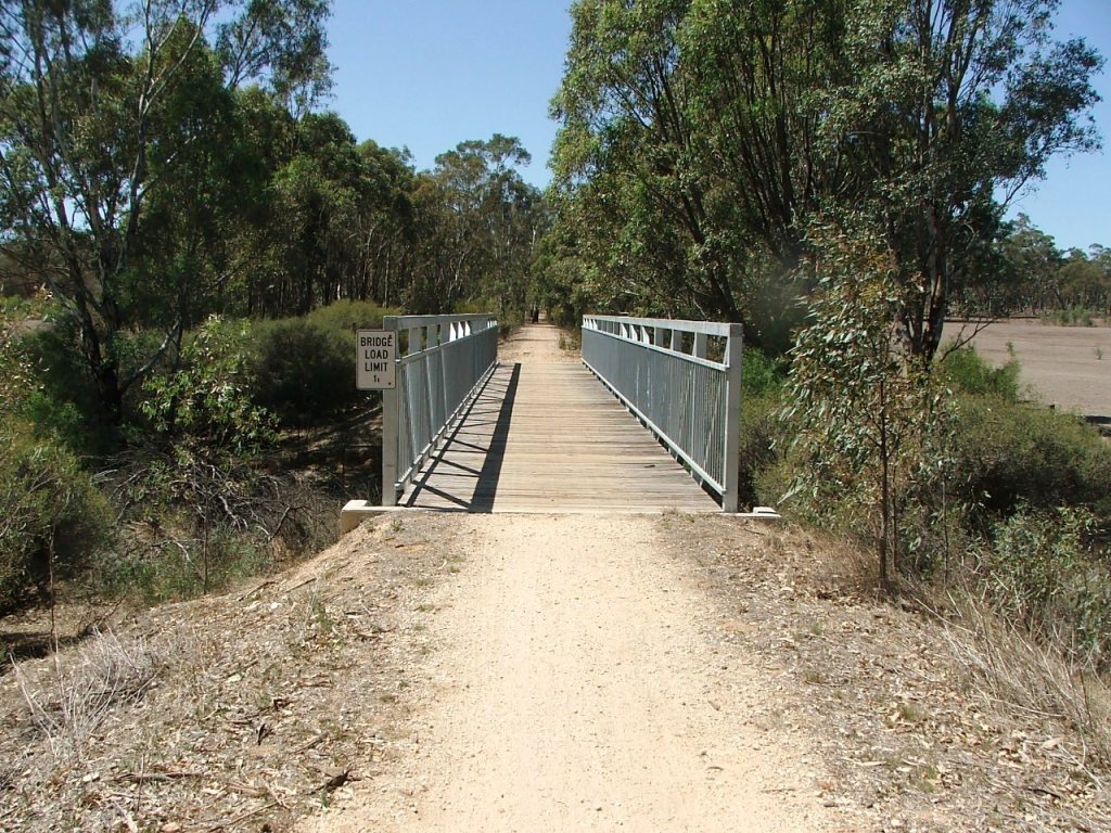
Sweeney's Creek Bridge.
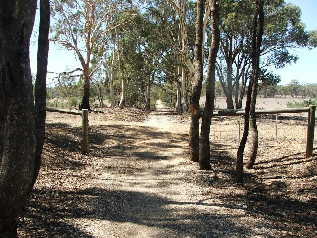
Bowles Road PCR with cattle grid beam.

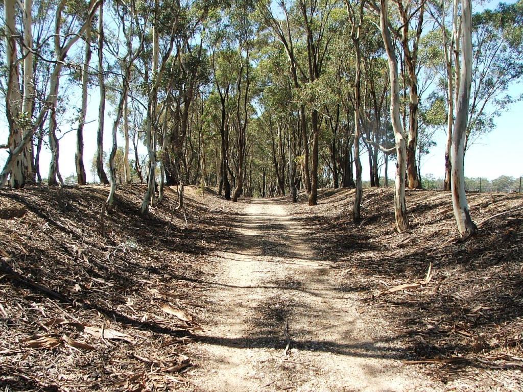
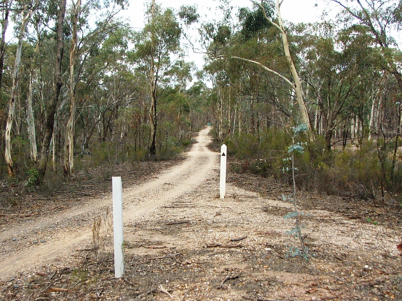
Occupation Crossing.
Occupation Crossing before Sweeney's Creek Bridge.
Sweeney's Creek Bridge.
Bowles Road PCR with cattle grid beam.
Occupation Crossing.
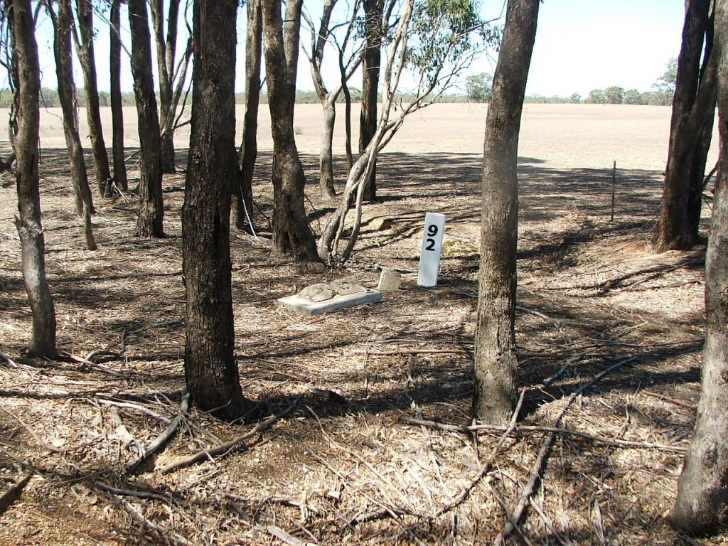
Replacement Marker Post 92 with the "grave" of the original.
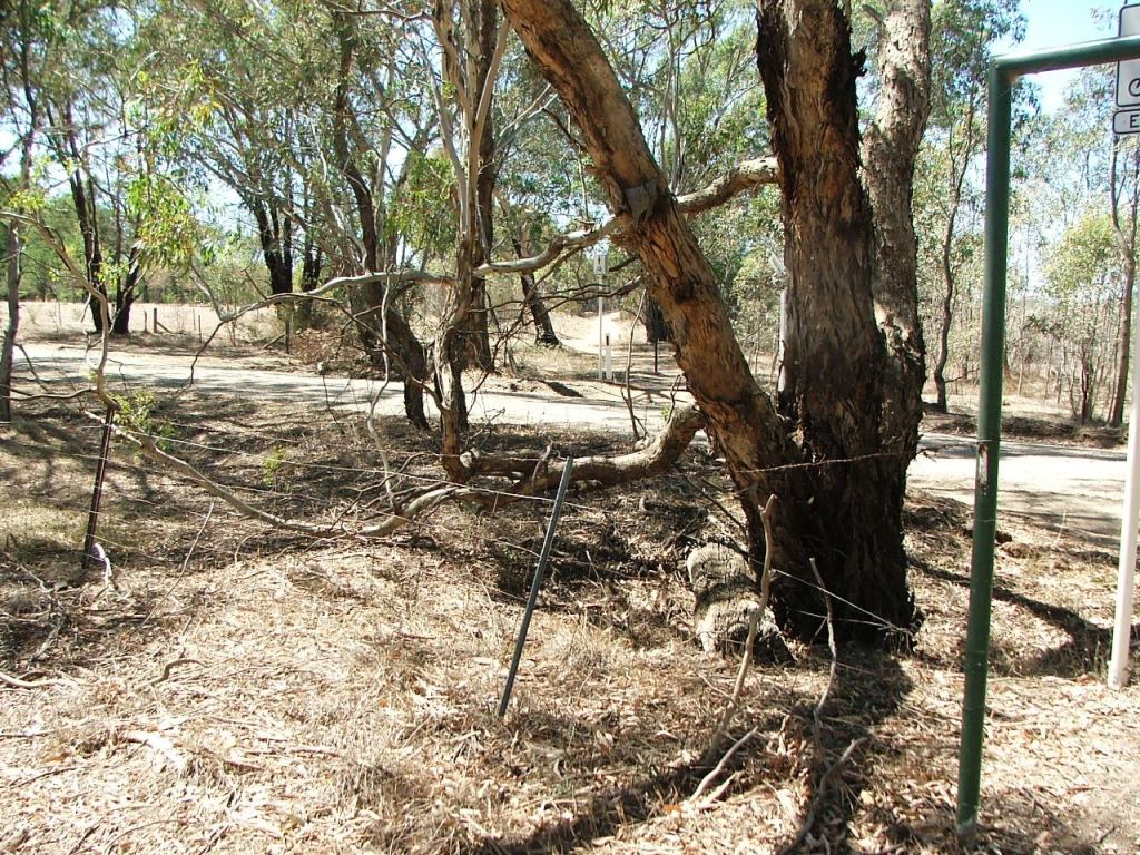
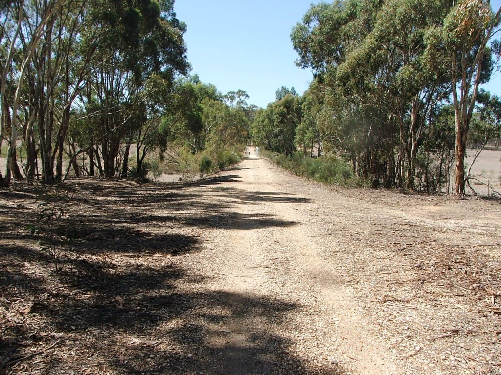
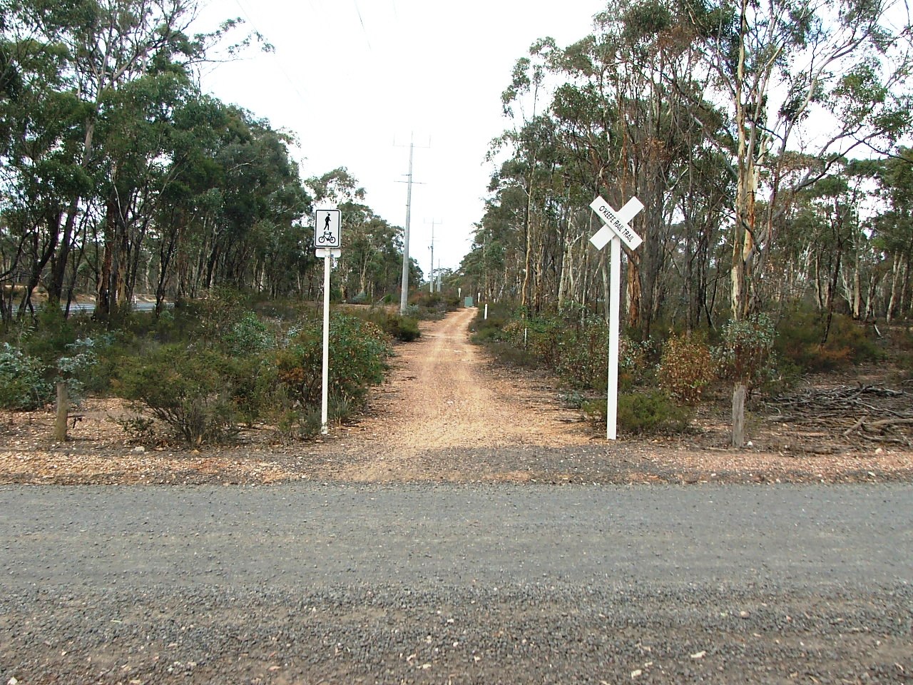
Occupation crossing.
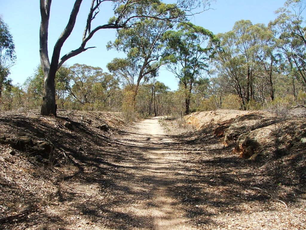
The top of Cutting xx.
Occupation Crossing.
Down the grade towards Saw Pit Gully Bridge.
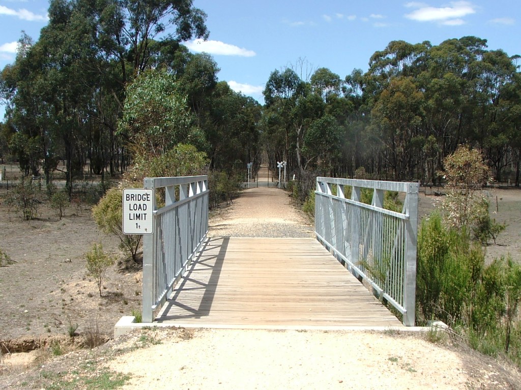
Today's Saw Pit Gully Bridge.
Cutting xx leading to a right curve.
Bank xx leading to Blind Gully Bridge.
Blind Gully Bridge crossed a gully or waterhole. The name reference to Blind Gully came from an old newspaper article, the only reference I have seen.
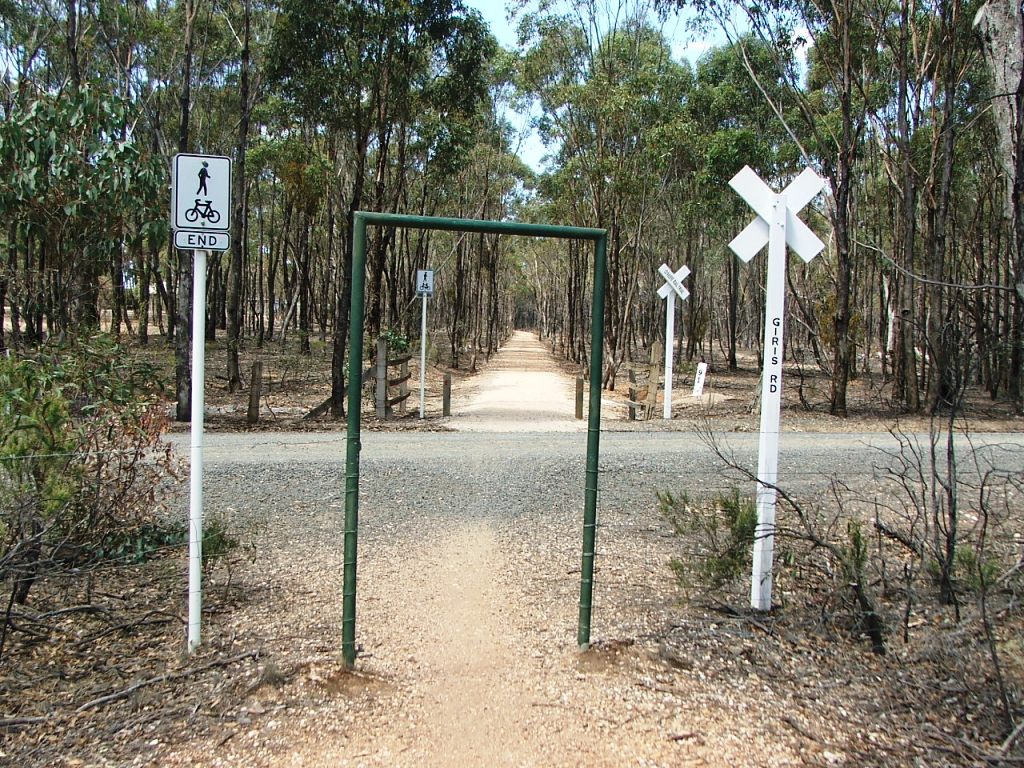
Giri's Road PCR. The name of this road comes from the Giri brothers who occupied land each side of the road between the crossing and nearby McIvor Road (Highway). The line continues into Crown Land that contained several gold mines in the latter half of the 1880s.
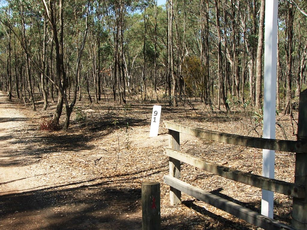
Marker Post 91 at Giri's Road.
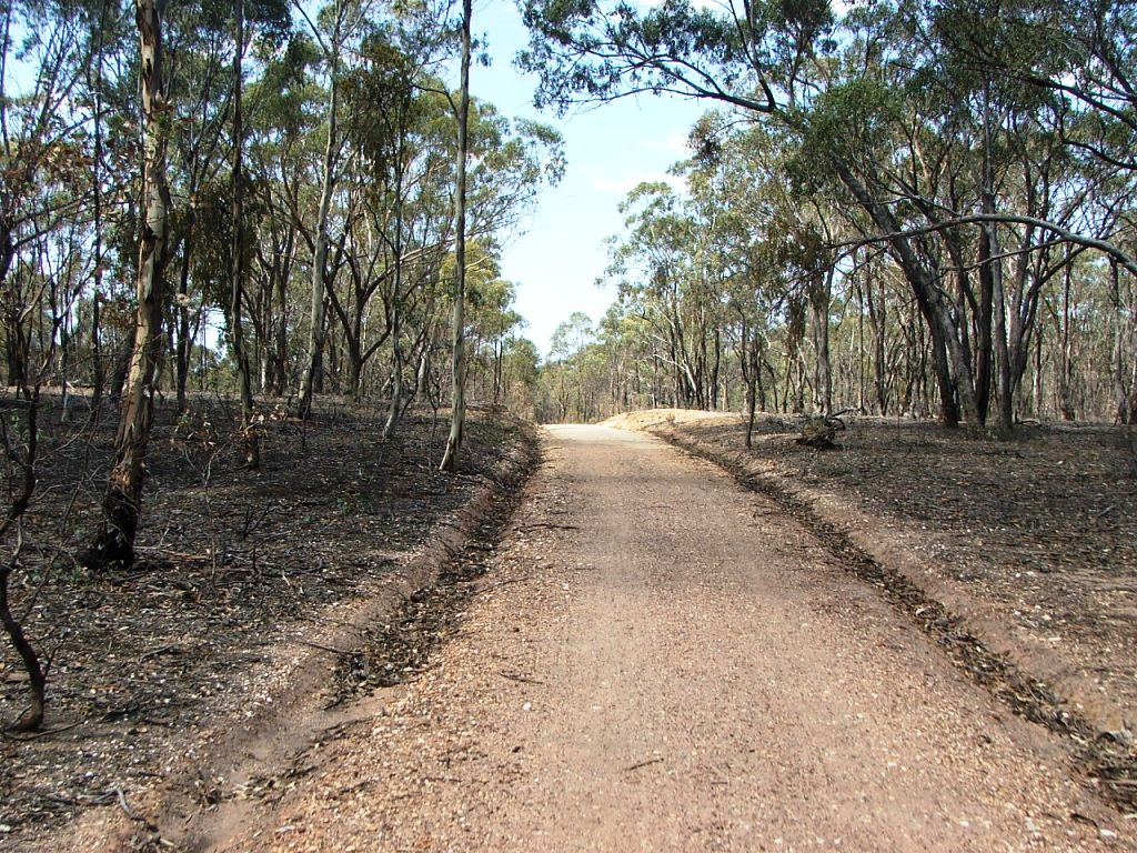
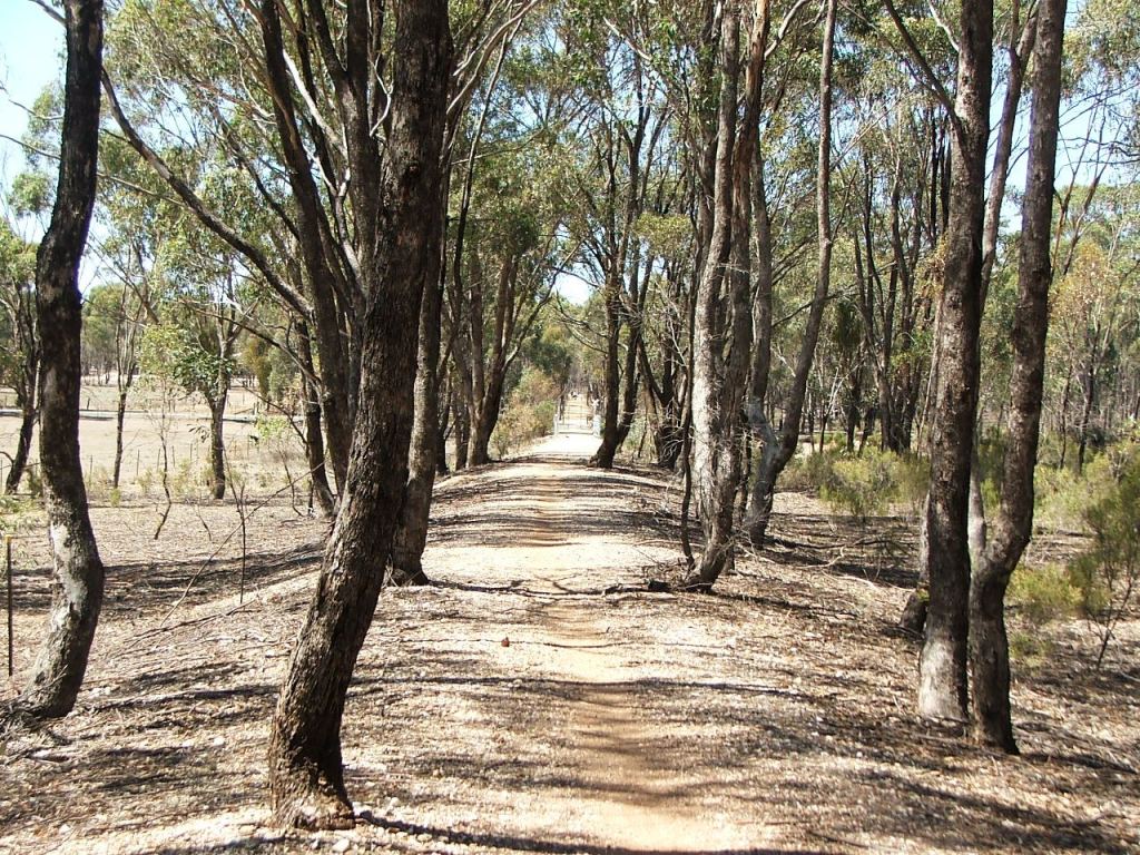
The line topped a rise at the end of a cuve before descending and continuing towards Axedale Station.

Acott Mine PCR. Shown on the contract as a PCR Crossing with gates. The crossing existed to provide access to the Acott Quartz Mining Company's gold mine. There were several tracks shown on the contract, one of which led to the nearby Acott Hotel on McIvor Road, to the left of the image.
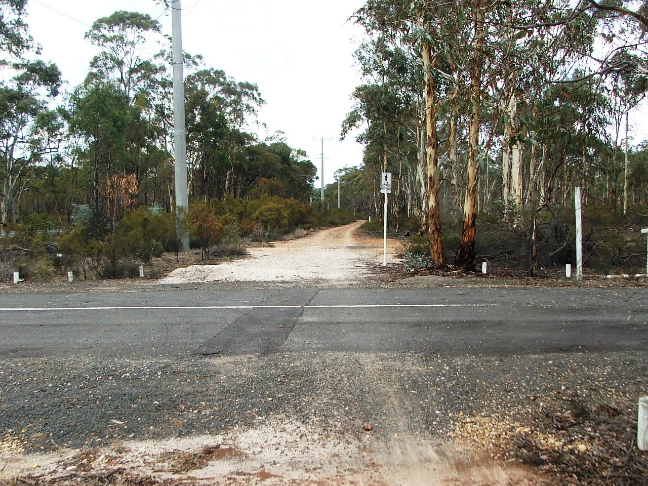
Approaching Hickey Road. The line appears to have been very slightly right.
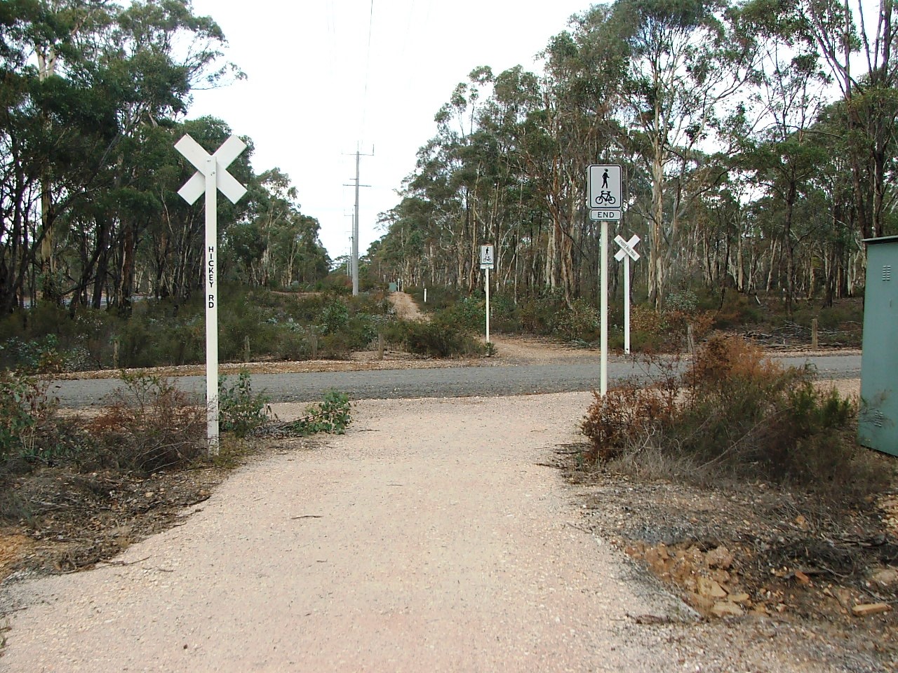
Hickey Road Crossing.
East side of Hickey road.
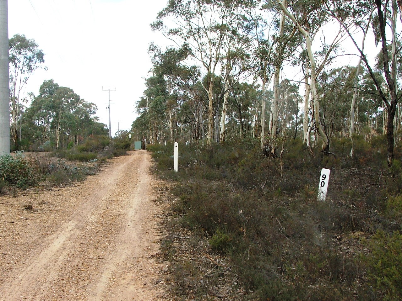
Replica Marker Post 90.
Disused Arakoon Resort entrance.
The rail bed continued straight ahead. It will be picked up in 100m or so.
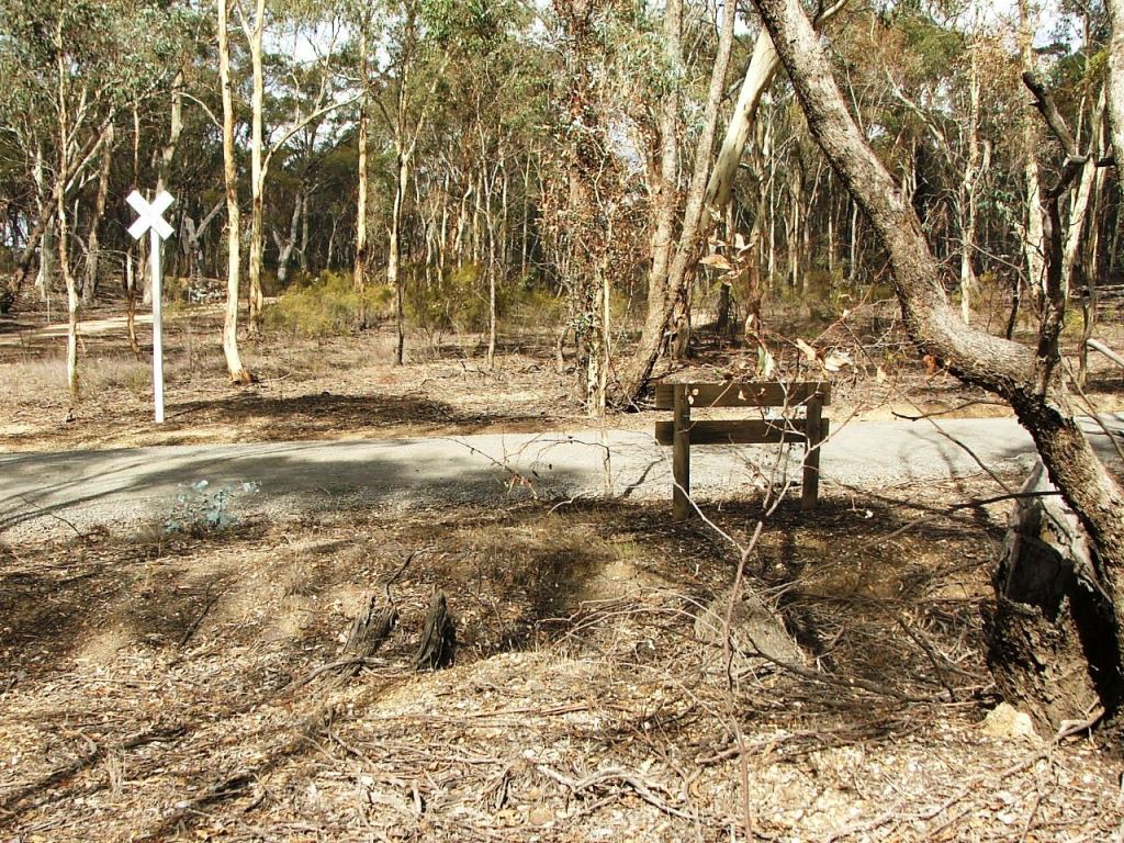
The Trail rejoins the rail bed at the Axedale Station Up Home Signal site.
There was once a 5 x 11' (16.77m) bridge here.
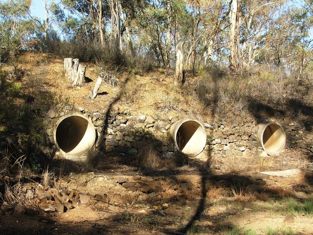
The culvert that replaced the bridge, North side.
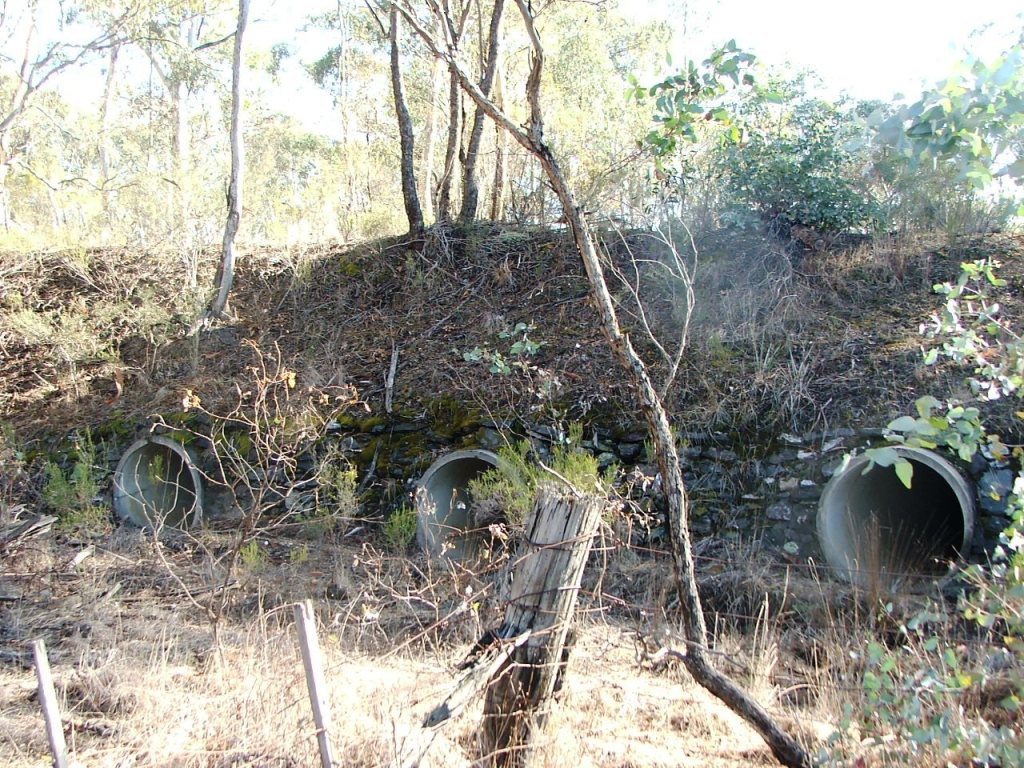
The culvert that replaced the bridge, South side.
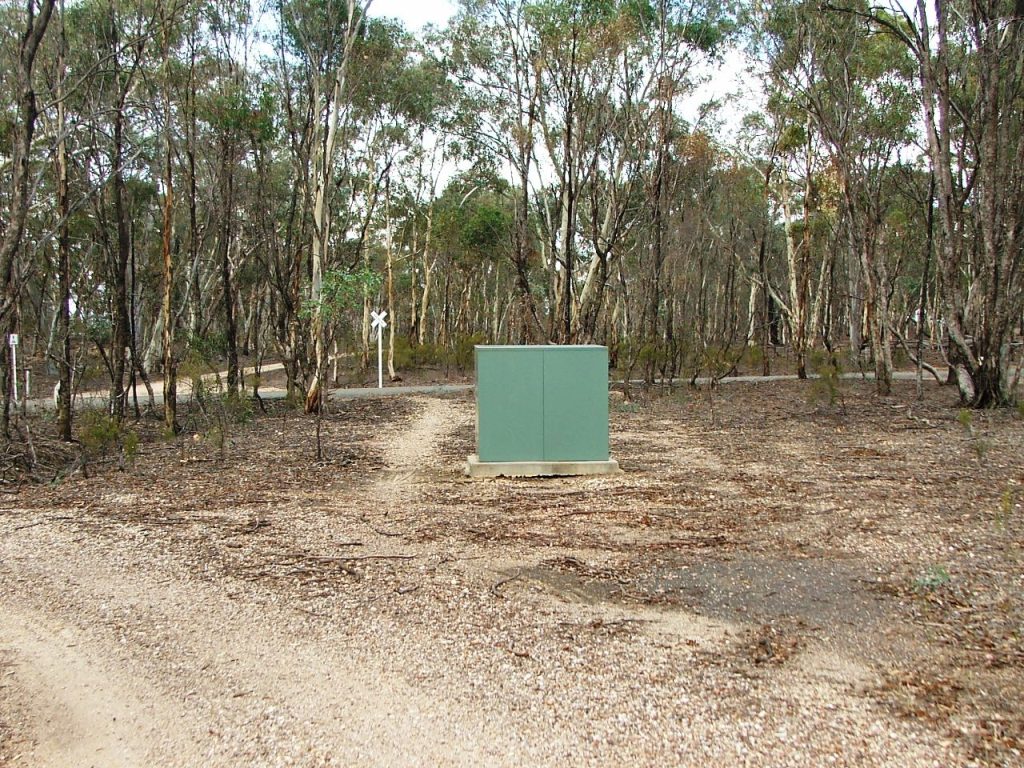
The rail bed is now obstructed by a steel cabinet.
The remains of the cattle grid beams that took the line over Taig Road PCR Crossing and into the Axedale Station Ground.
This site is hosted by CoffeeCup S-Drive.
Comments and suggestions may be e-mailed to