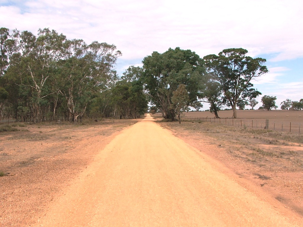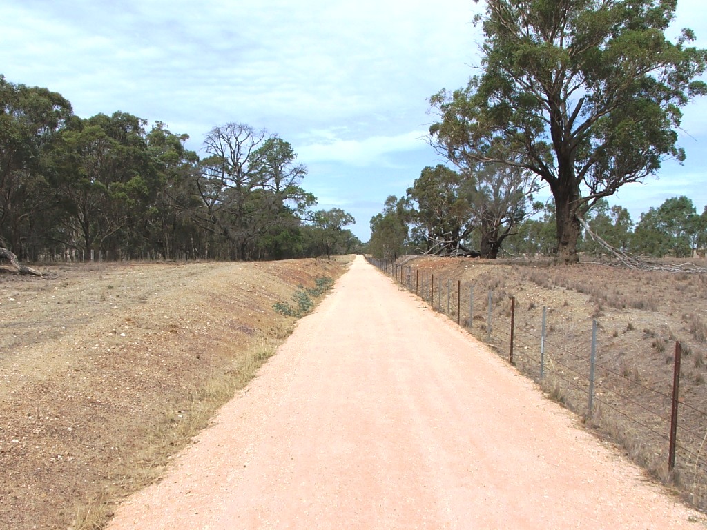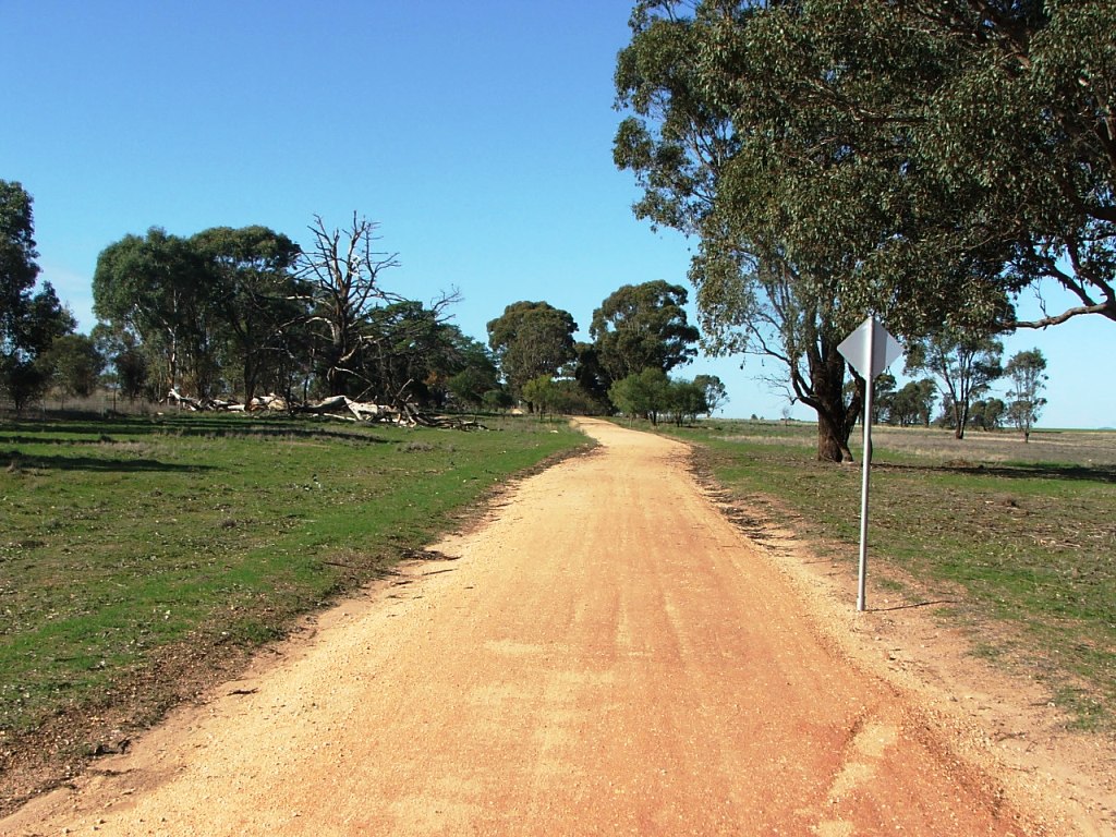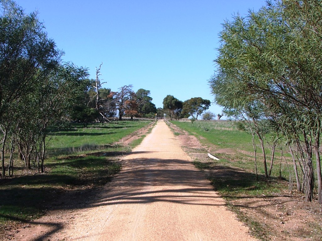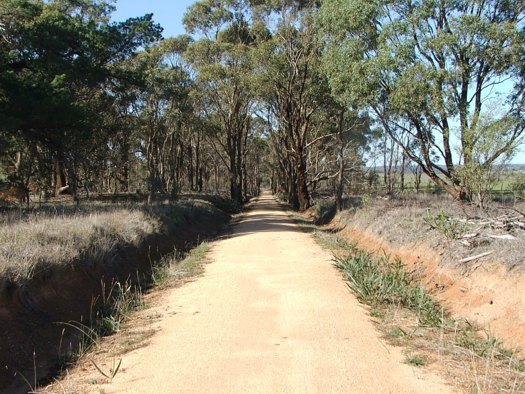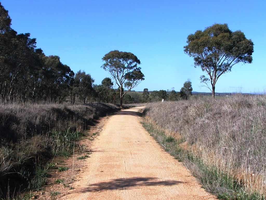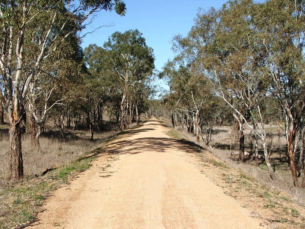
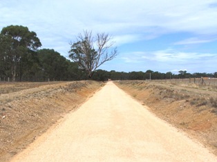
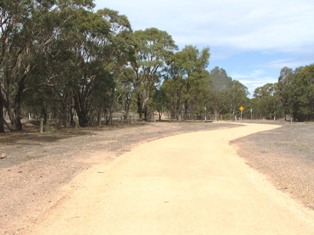
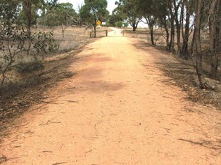
Continuing towards heathcote from Knowsley-Eppalock Road.
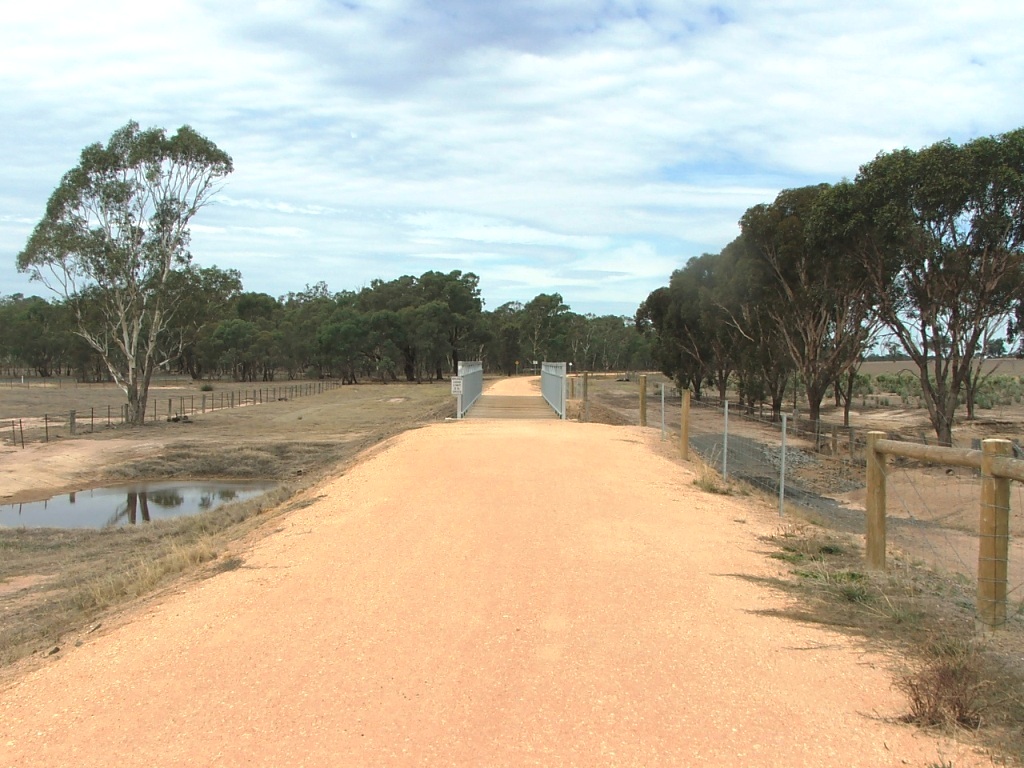
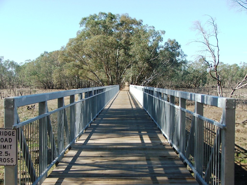
The Trail and the track bed realign. A tributary of Forest Creek. Originally a 7 x 11' openings bridge.

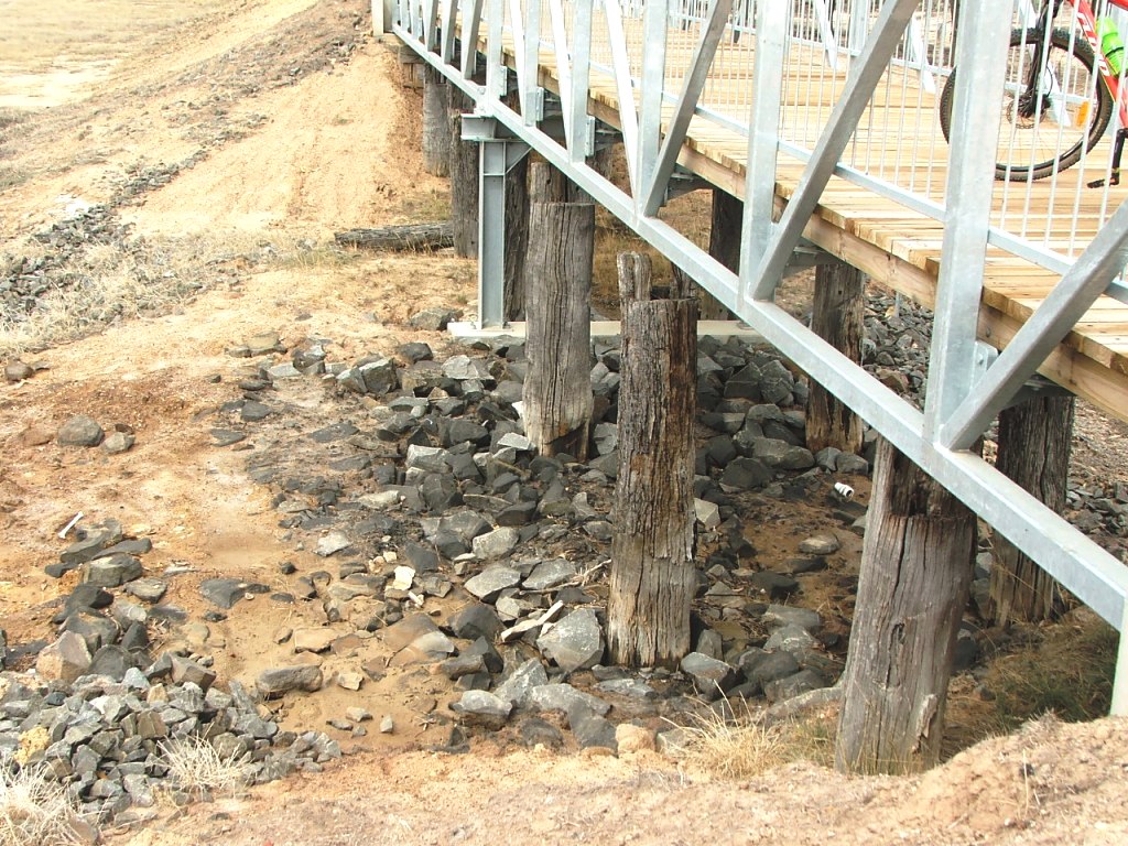
Pile remains under the bridge - 2016.
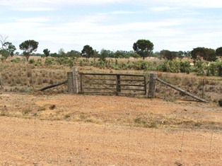
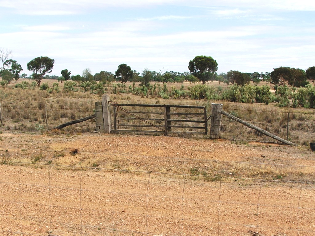
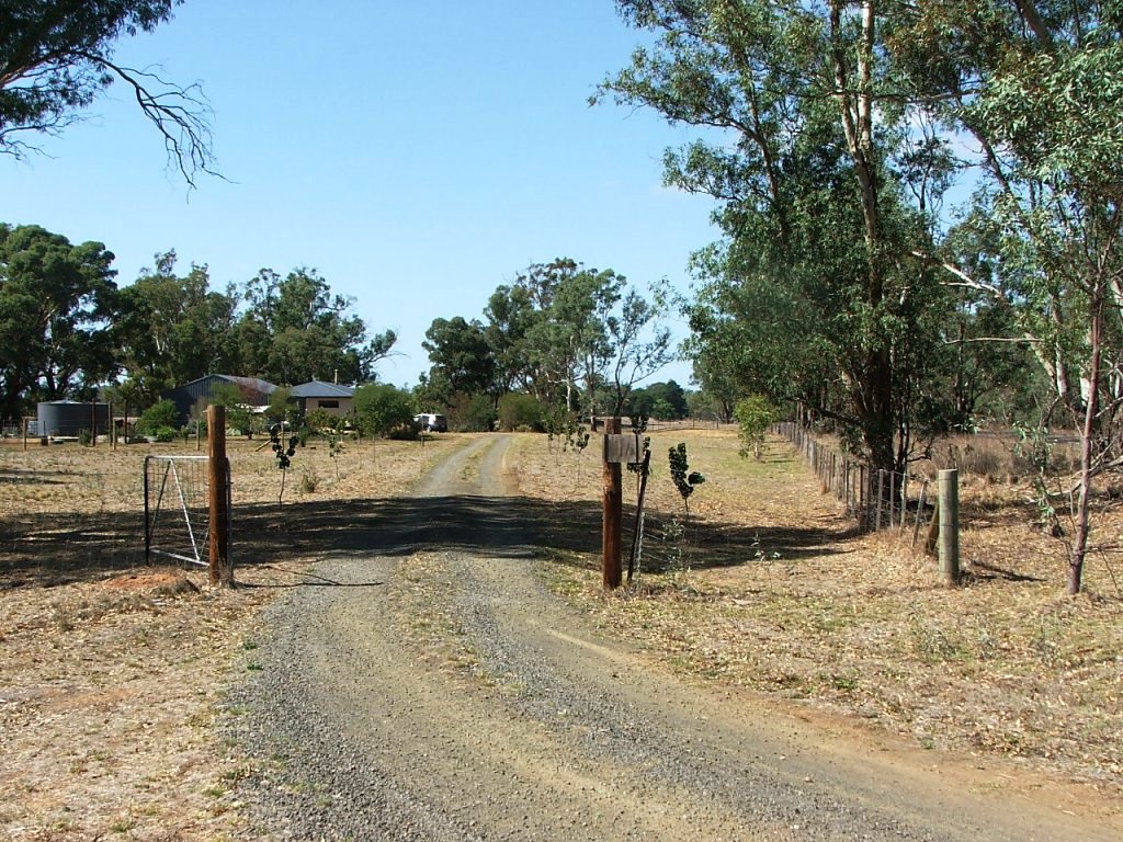
Old railway gate now doing farm duty.
Cutting leading to 1880s McIvor Road, now Moorabbe Foreshore Road.
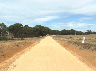
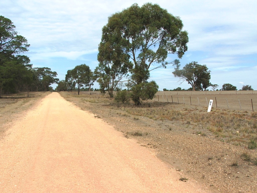
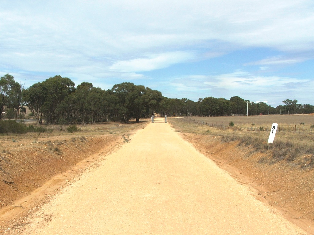
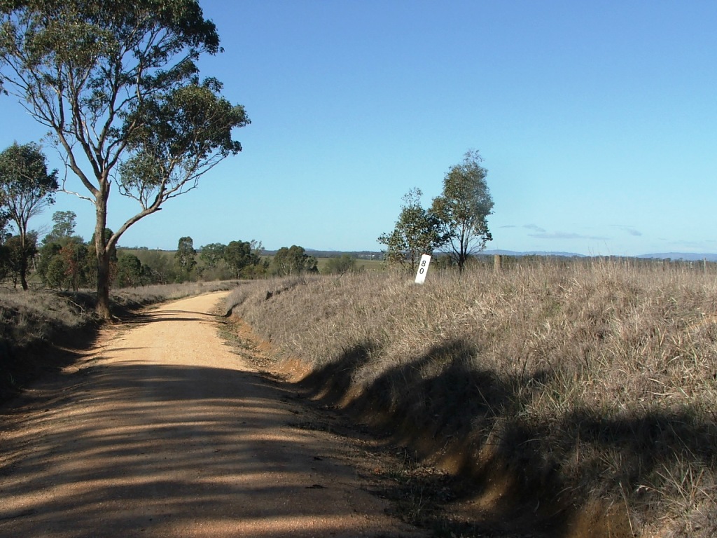
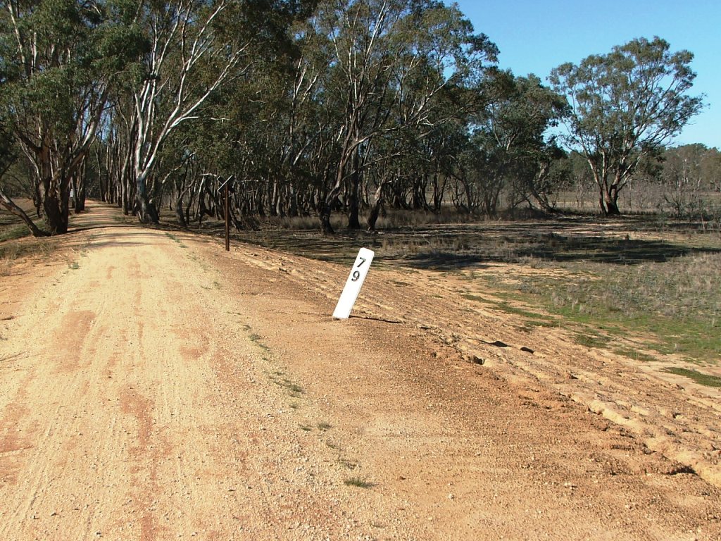
Replica Marker Post 81.
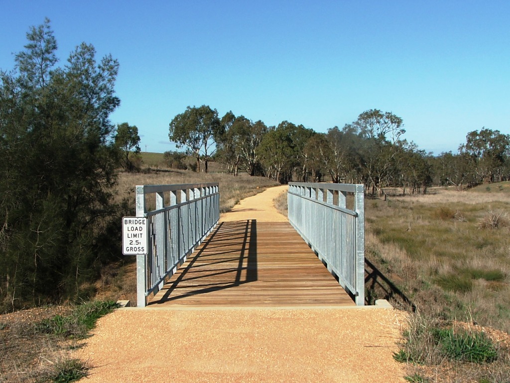
Originally a 5 x 7' openings bridge.
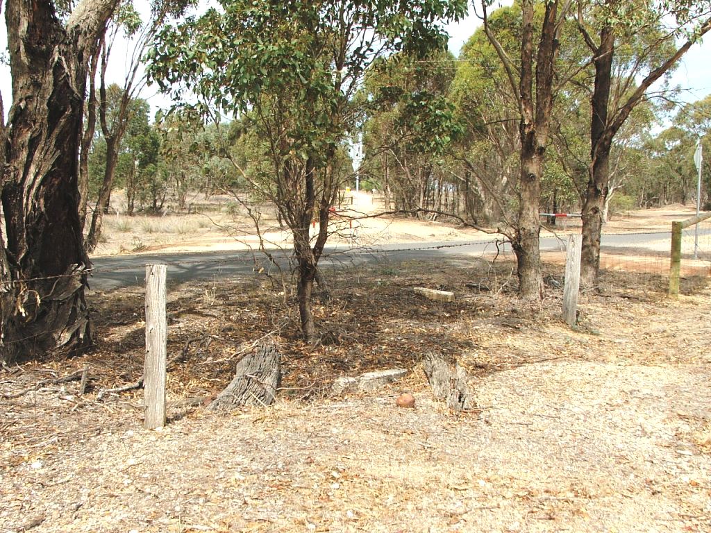
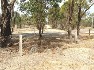
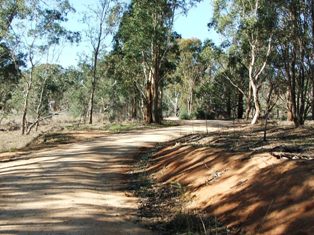
The line continued straight ahead, the trail diverges right, where a Gatekeeper's house once stood.
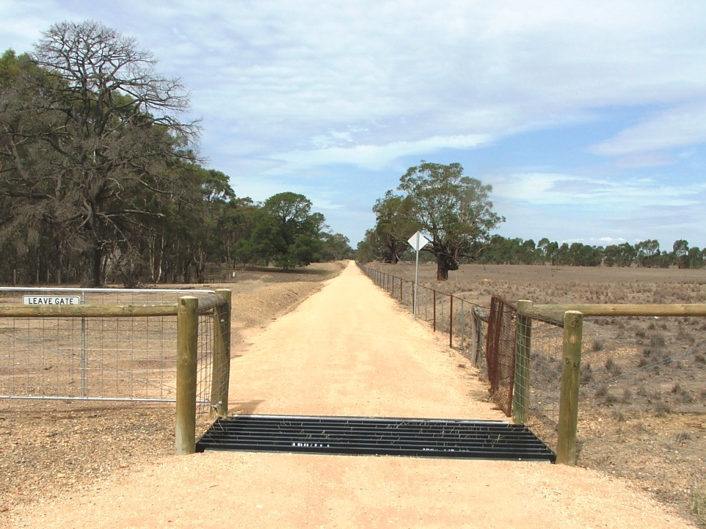
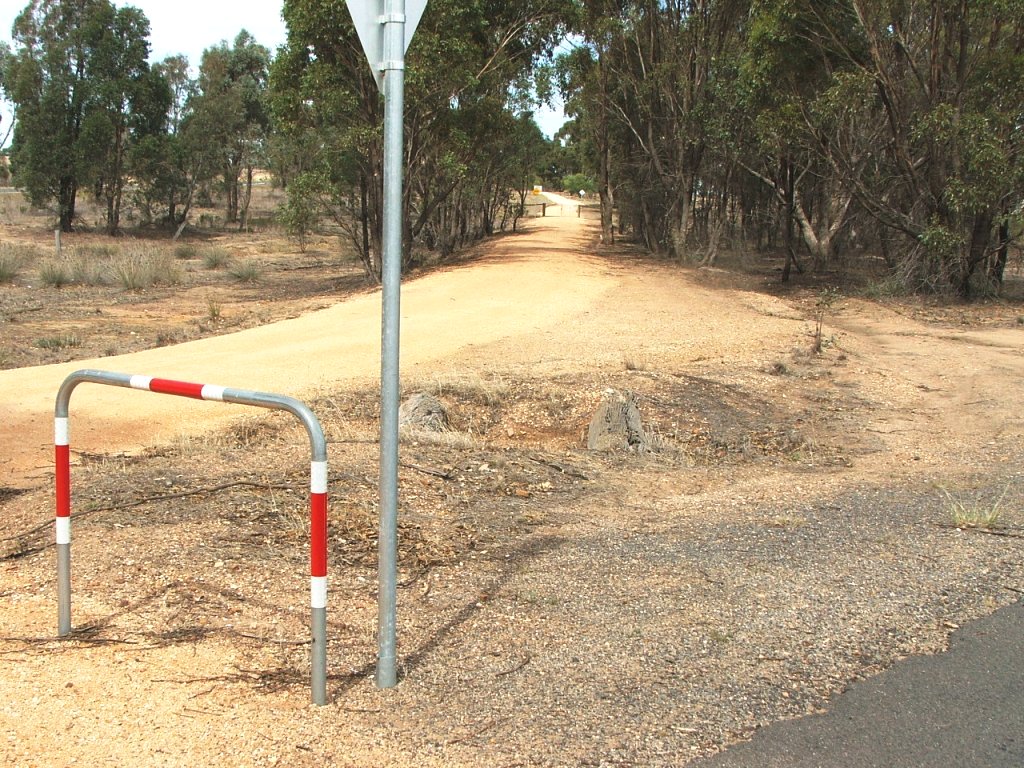
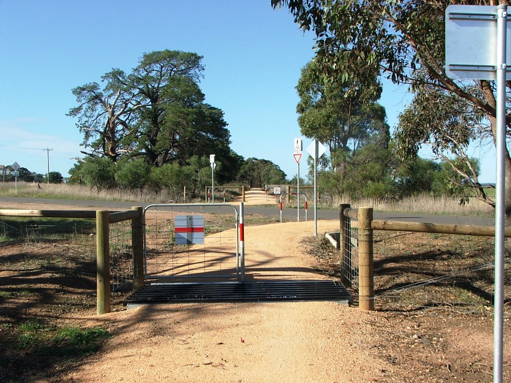
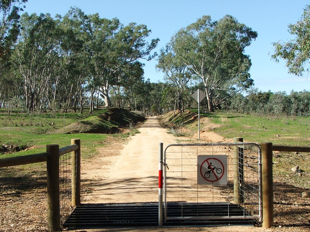
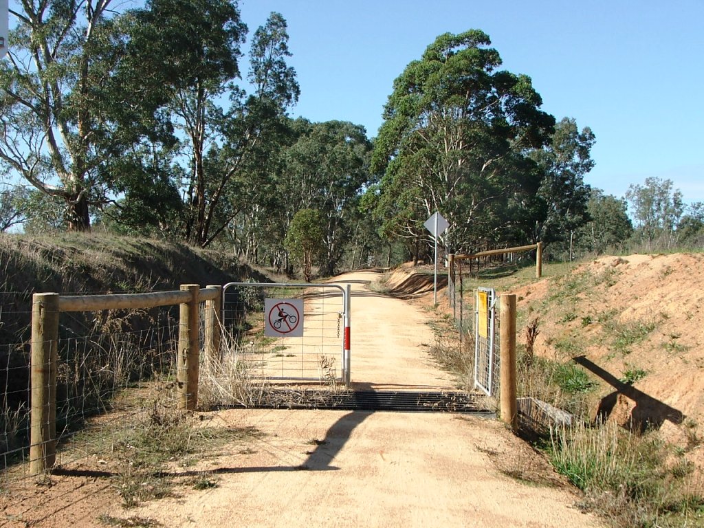
Cattle grid at 1880s McIvor Road, now Moorabbe Foreshore Road.
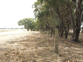
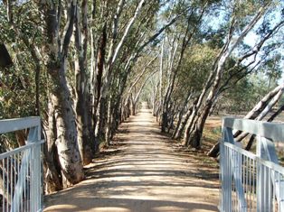
Concrete railway fence posts.
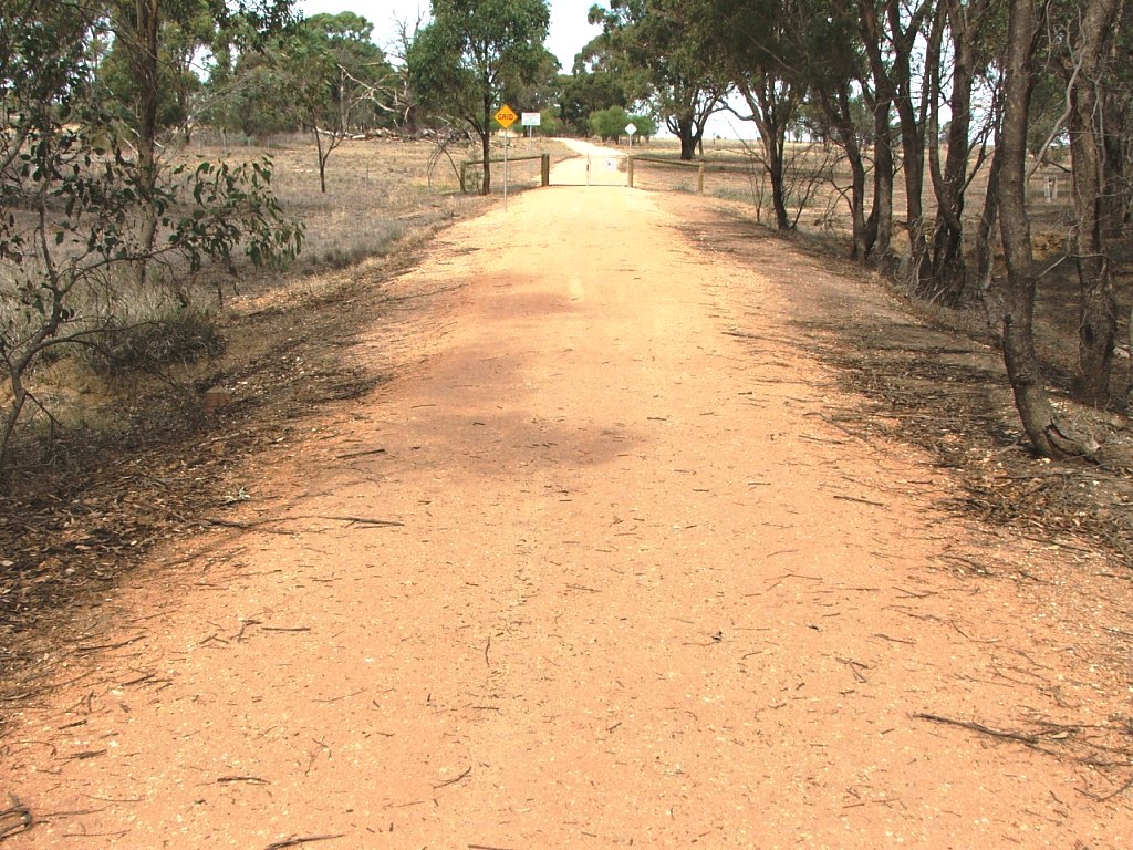
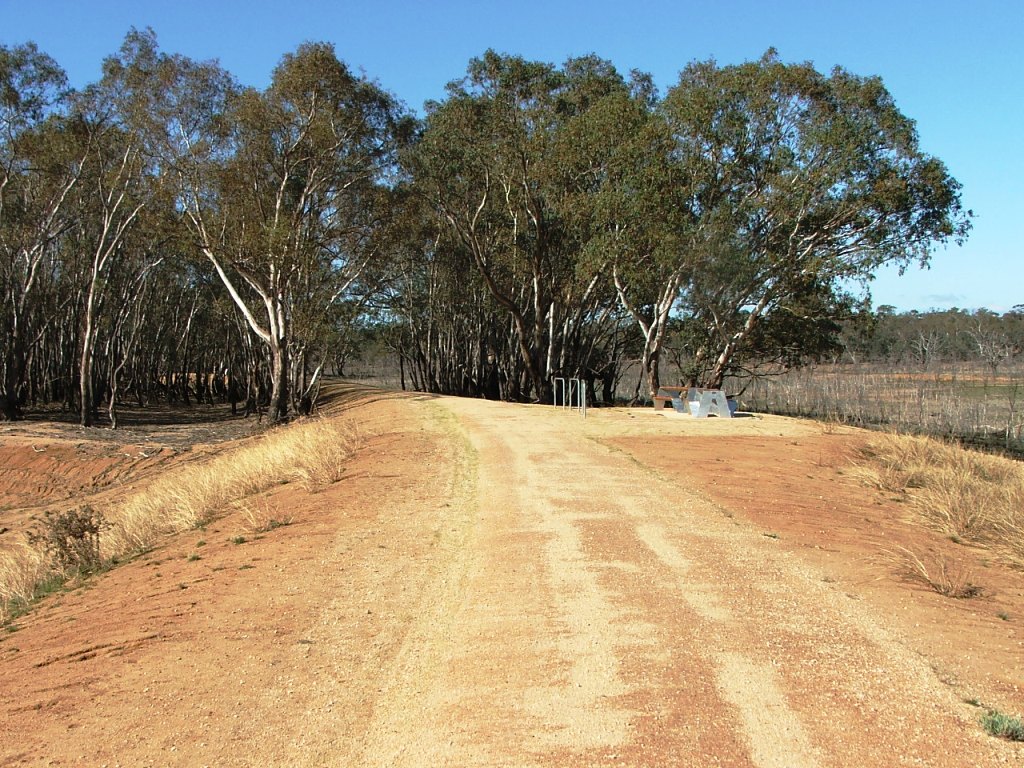
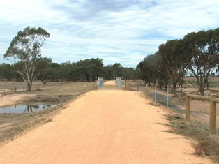
Cattle grid on East side of Moorabbee Foreshore Road.
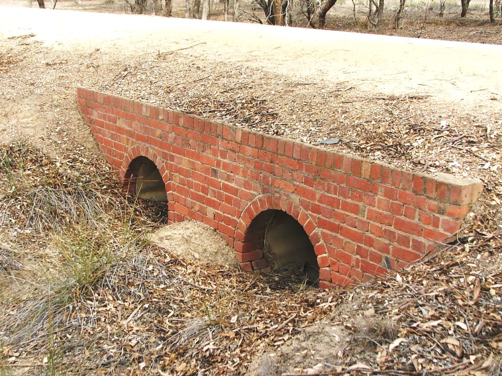
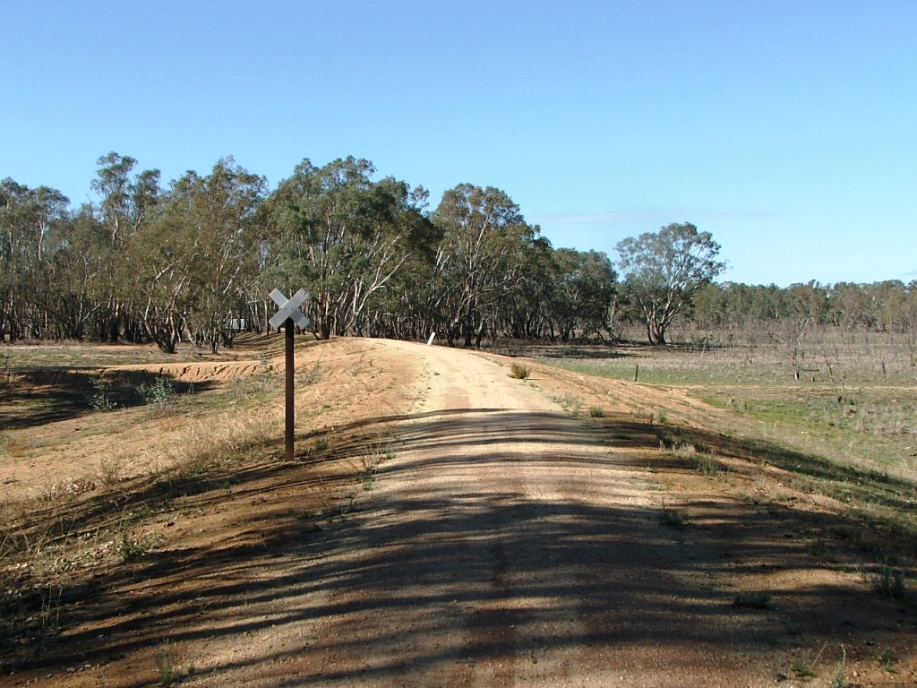
The Parish Boundary and originally a 3 x 7' openings bridge.
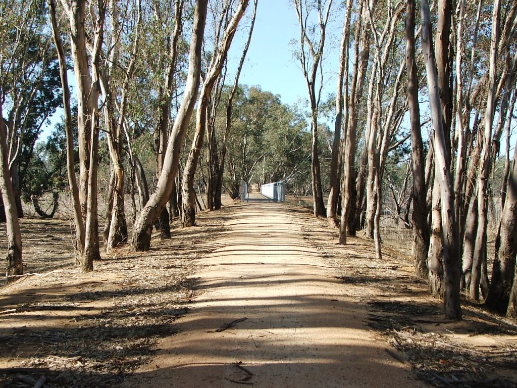
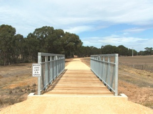
Off the bridge, towards Derrinal.
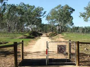
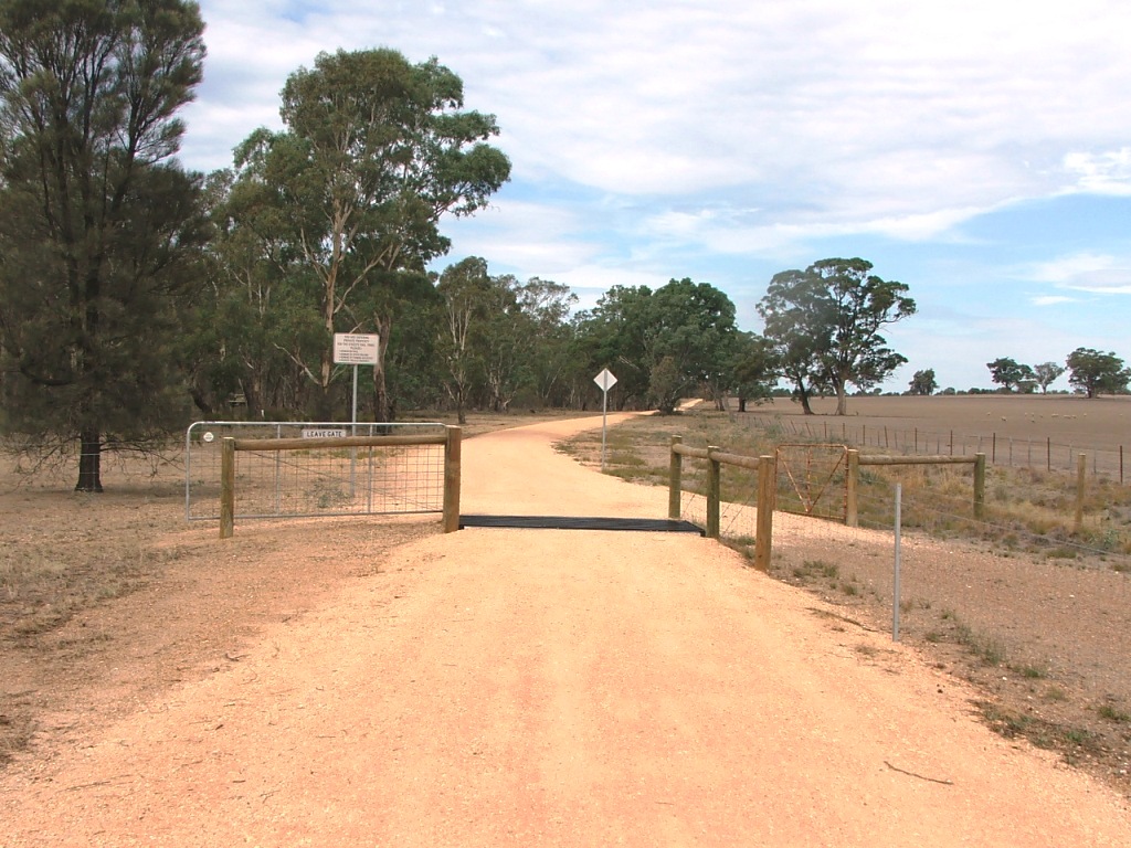
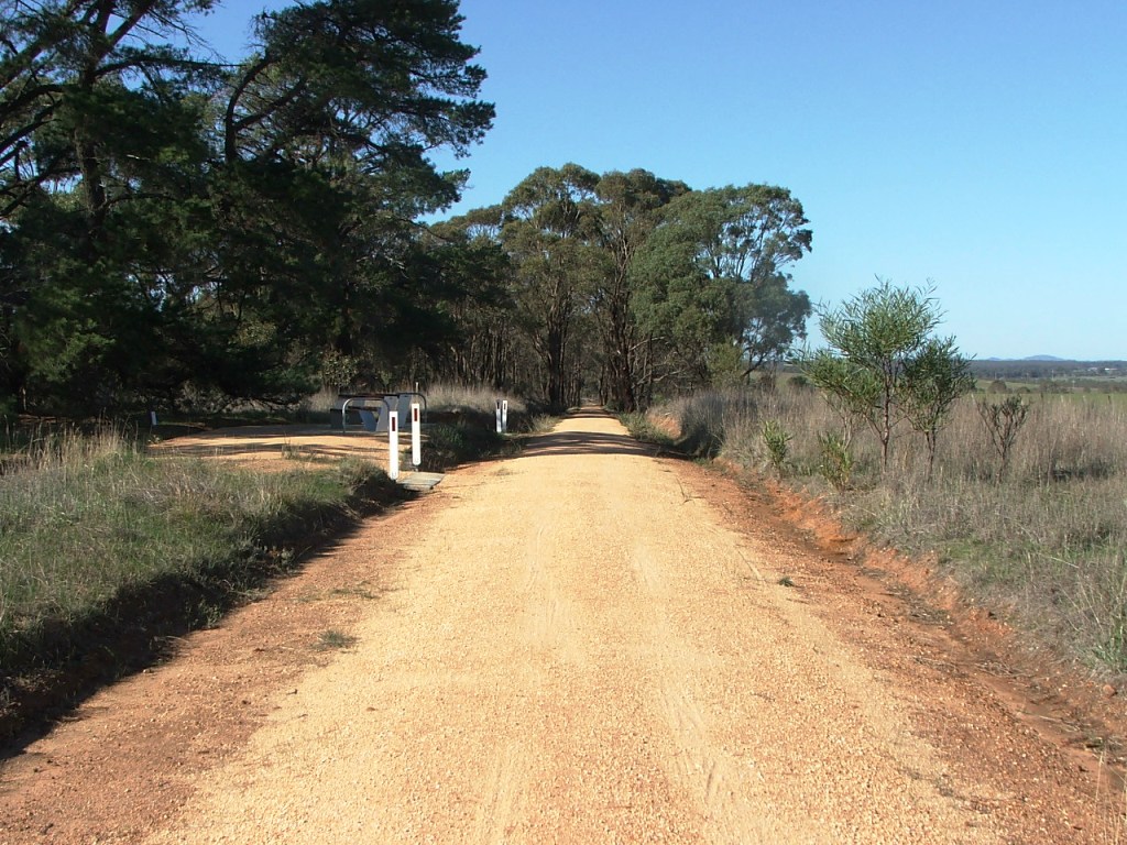
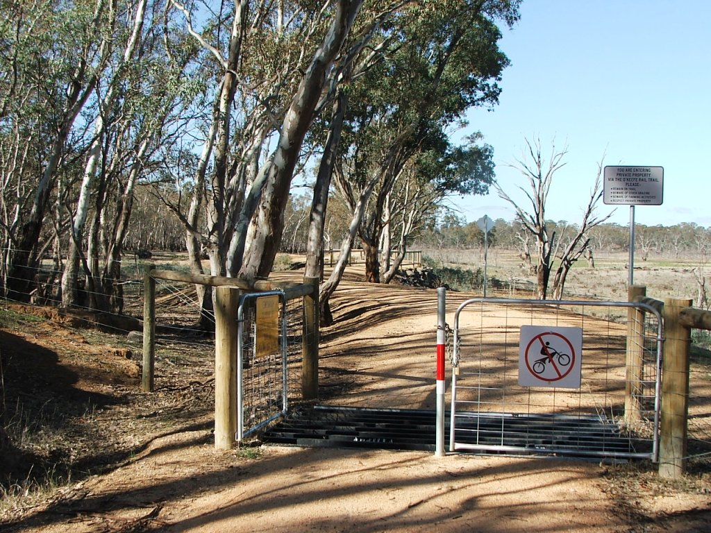
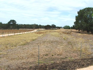
Exiting the causeway through private property.
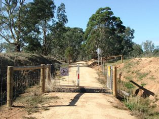
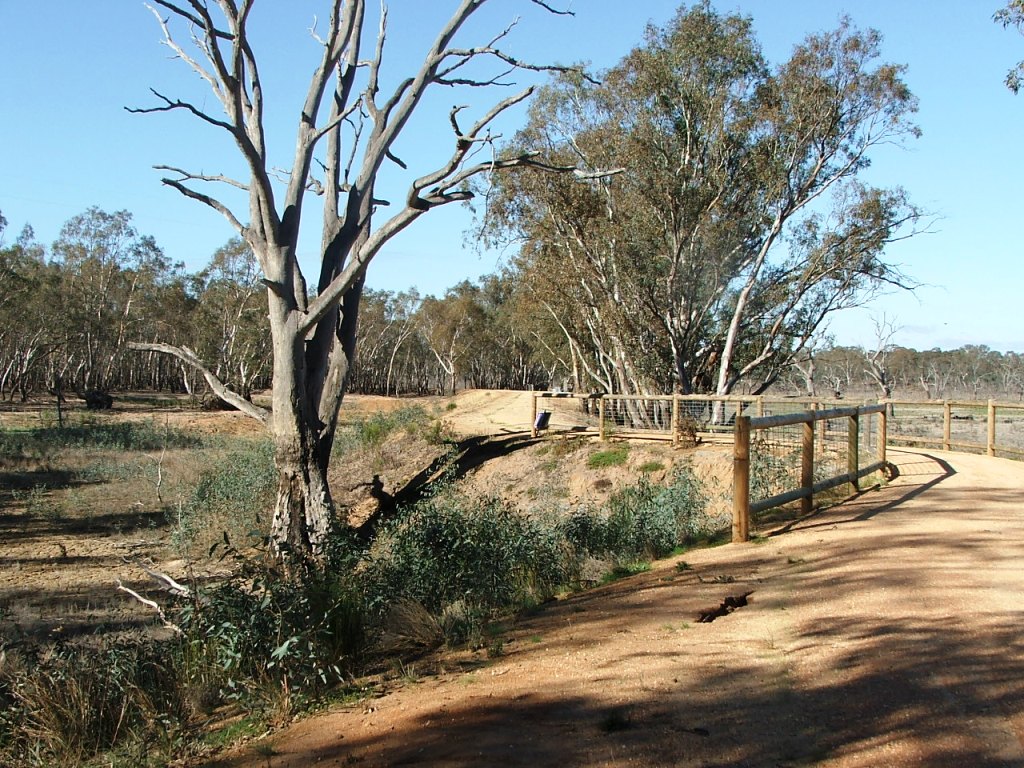
Exiting the private property.
The rail line continued straight ahead to cross the Derrinal Station access road.