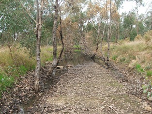
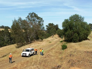
From the Axedale racecourse Platform site towards the Campaspe River - 2012.
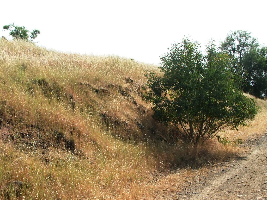
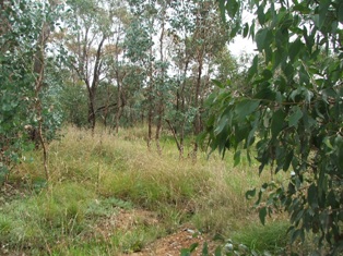
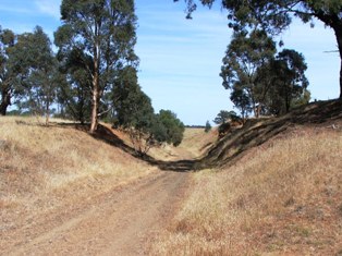
At the end of the golf course - 2012.
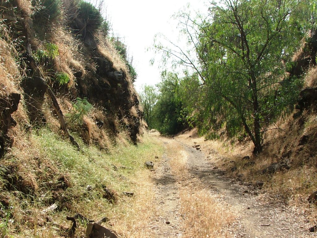
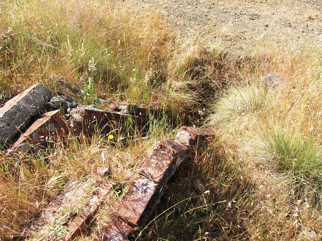
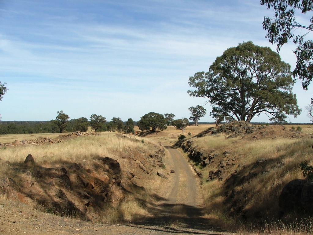
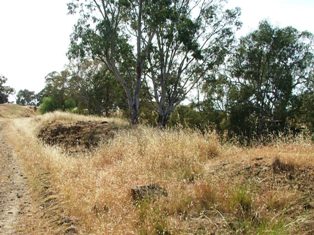
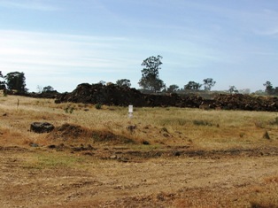
Between the golf course and the river - 2012.
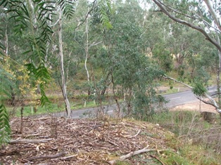
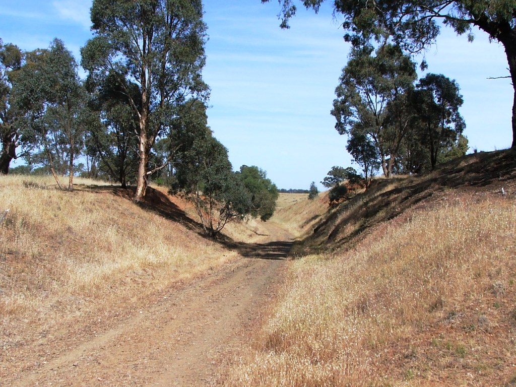
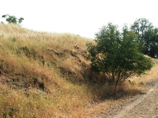
Eppalock Road from the Bendigo side approach bank - 2012.
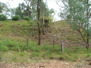
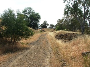
Approach bank looking west, toward Bendigo - 2012.
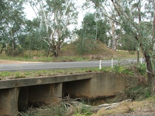
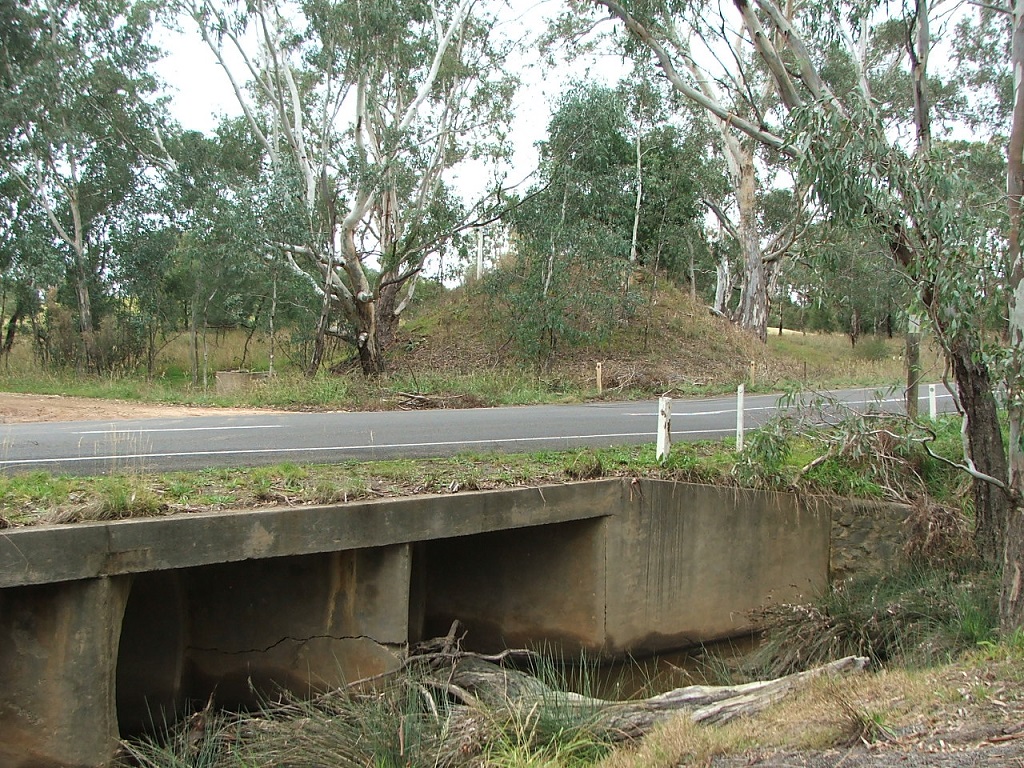
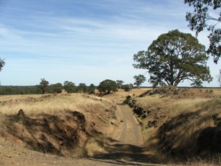
Eppalock Road, under the original railway bridge (Native Creek) - 2012.
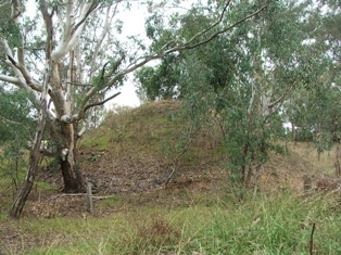
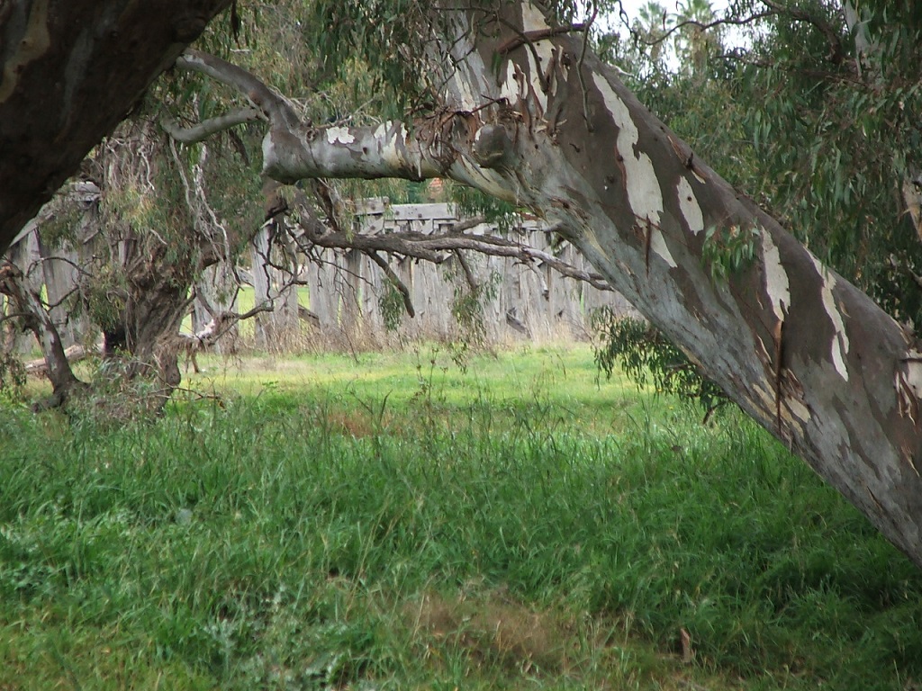
Eppalock Road, Campaspe River side approach bank, viewed from Eppalock Road - 2012.

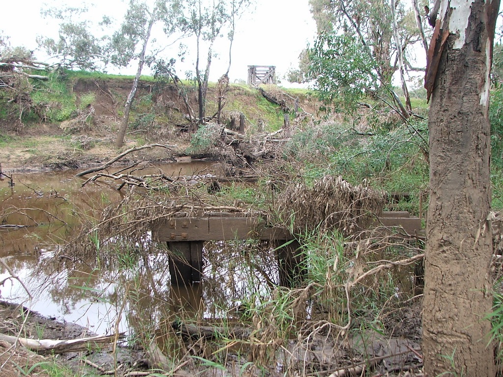
Campaspe River bridge remains in the river - 2012.
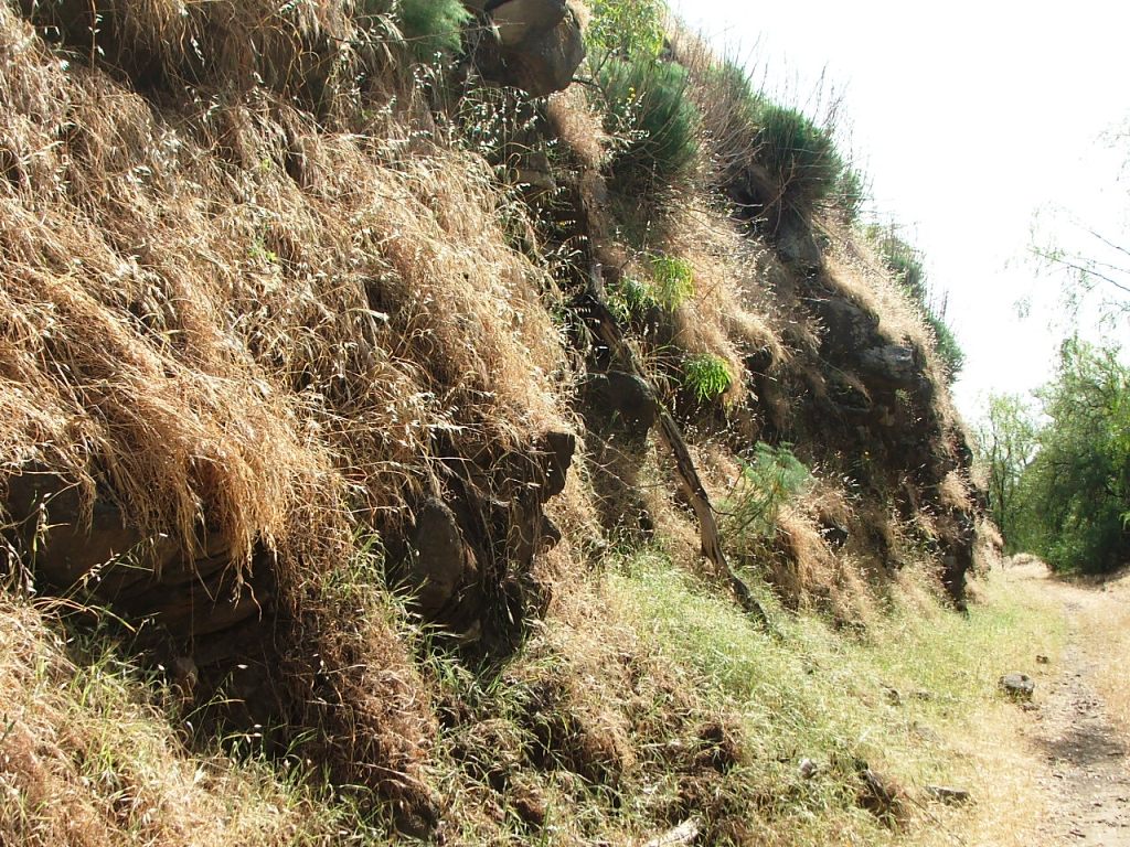
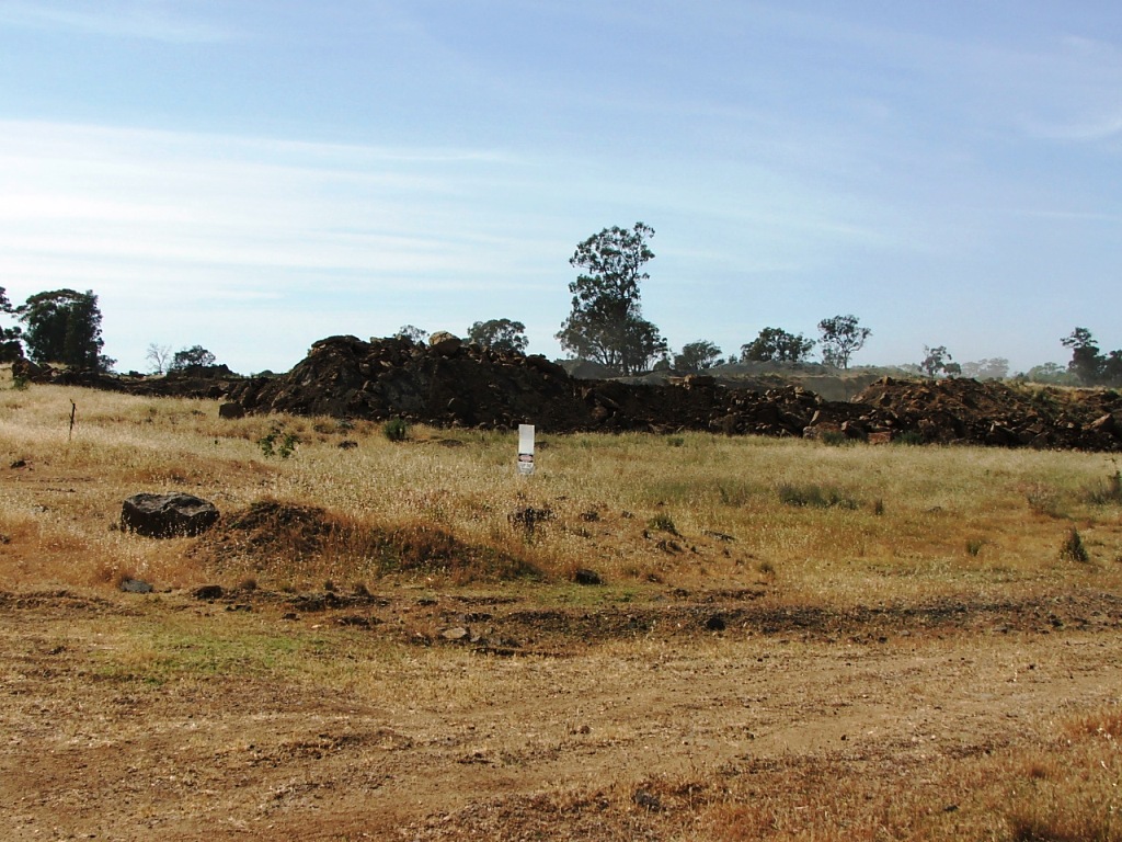
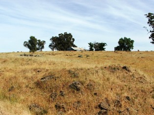
Towards the quarry, a little further along, left view.
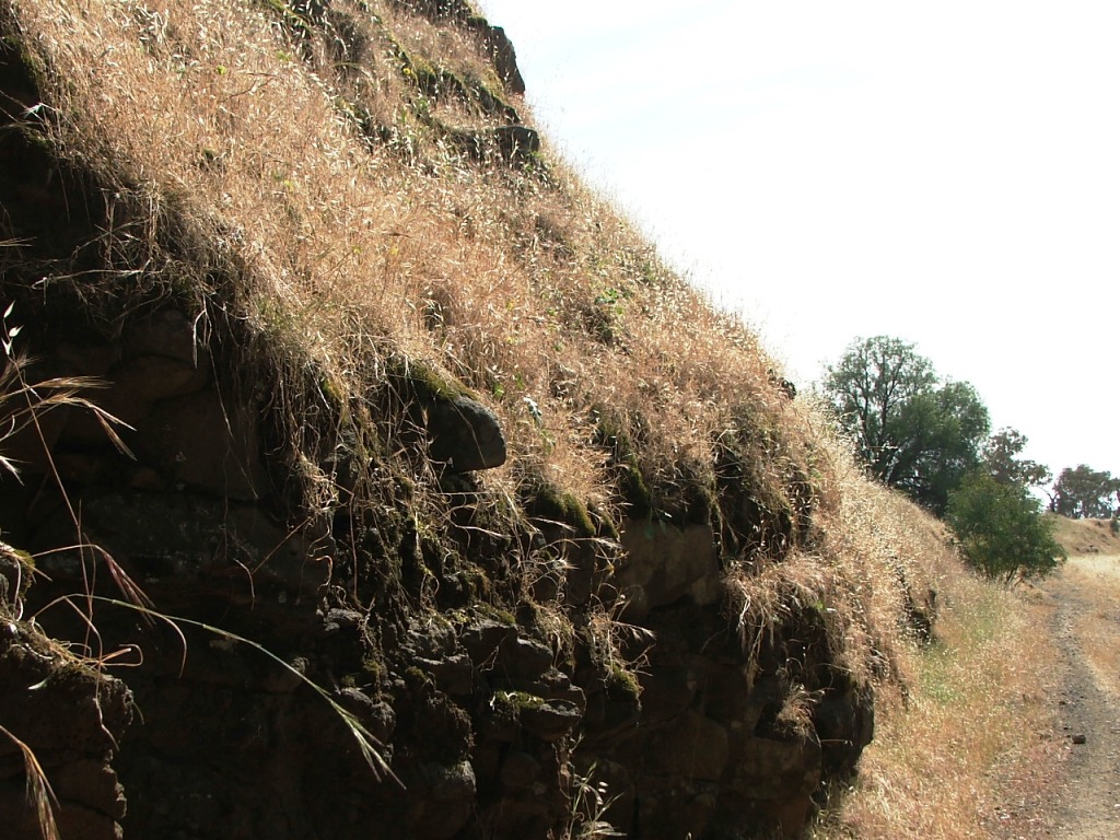
Towards the quarry, centre view.
Towards the quarry, right view.
Old shed on the north side of the line.
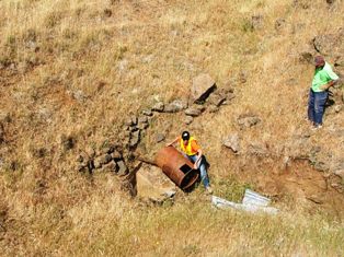
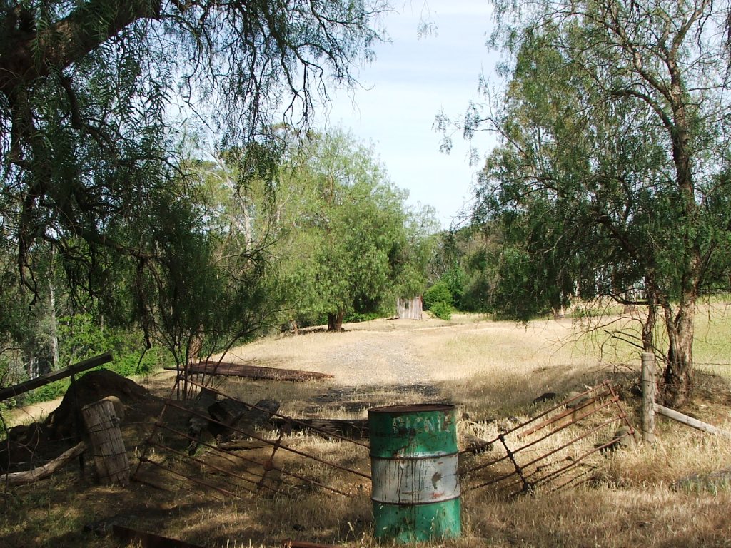
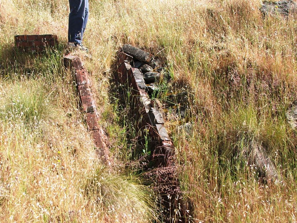
A culvert well down below the line. Not stealing the drum, clearing the culvert.
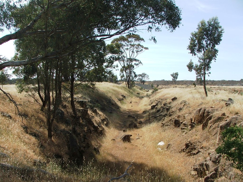
Curving towards the quarry, from the culvert.
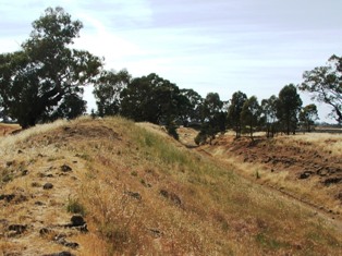
Looking back towards the river approach, from near the culvert.
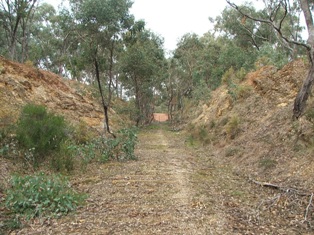
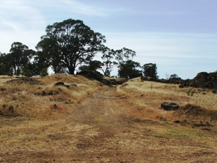
Continuing towards the quarry entrance.
Continuing from underground pipeline location, left view.
Continuing from underground pipeline location, centre view.
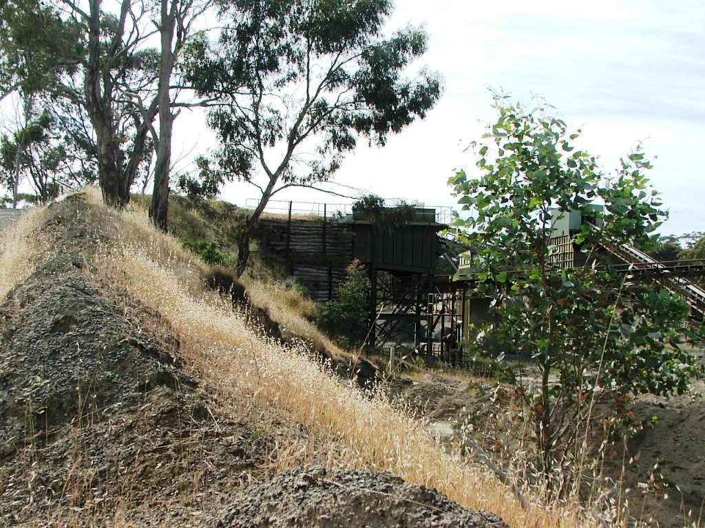
Continuing from underground pipeline location, right view. Quarry operation in background.
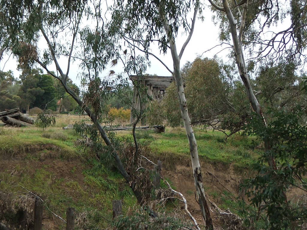
Looking back towards the Campaspe River.