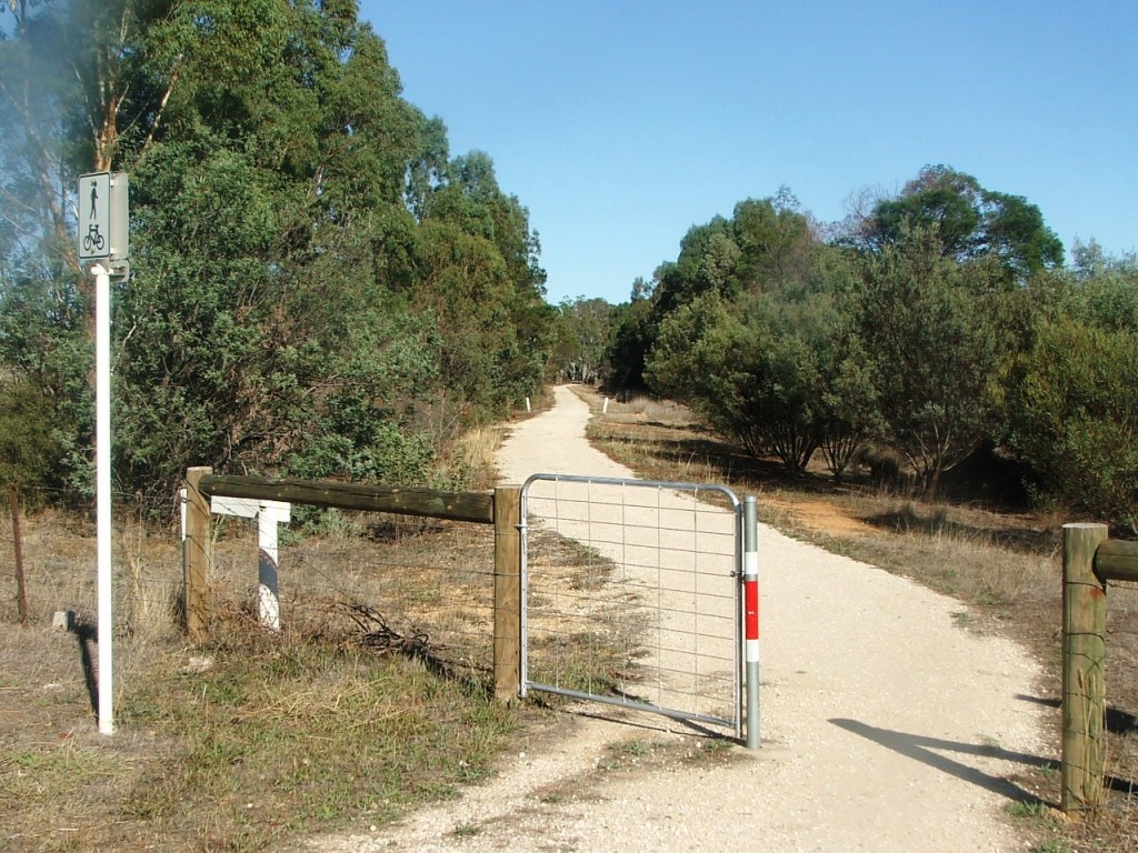
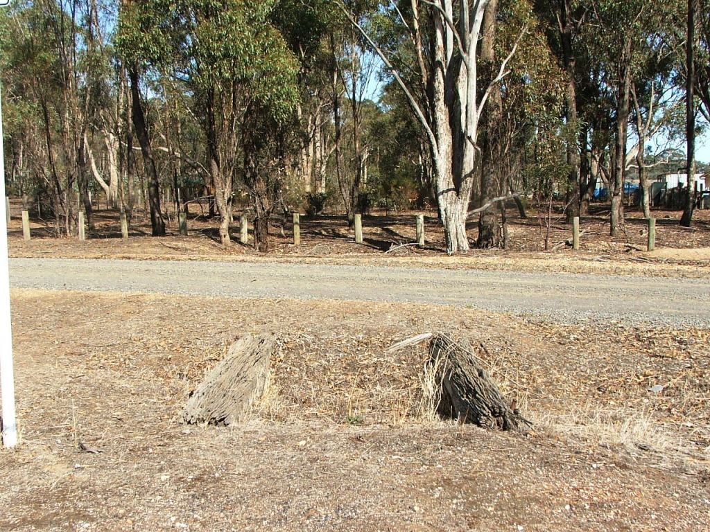
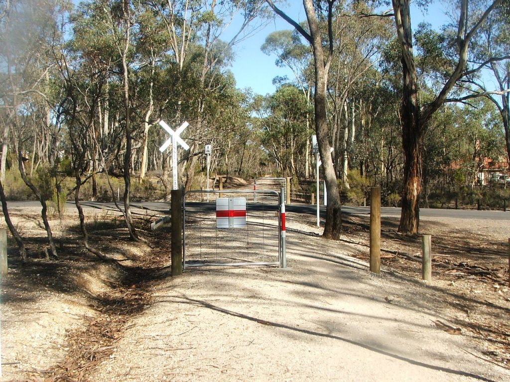
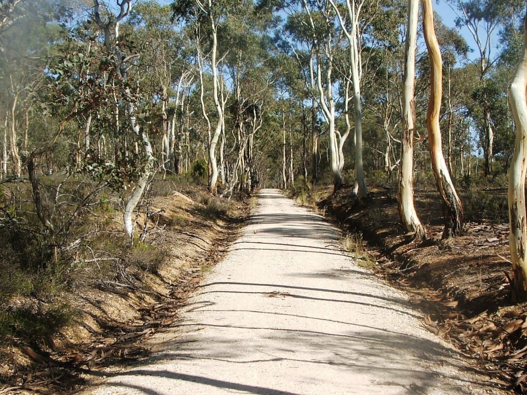
From Longlea Lane.
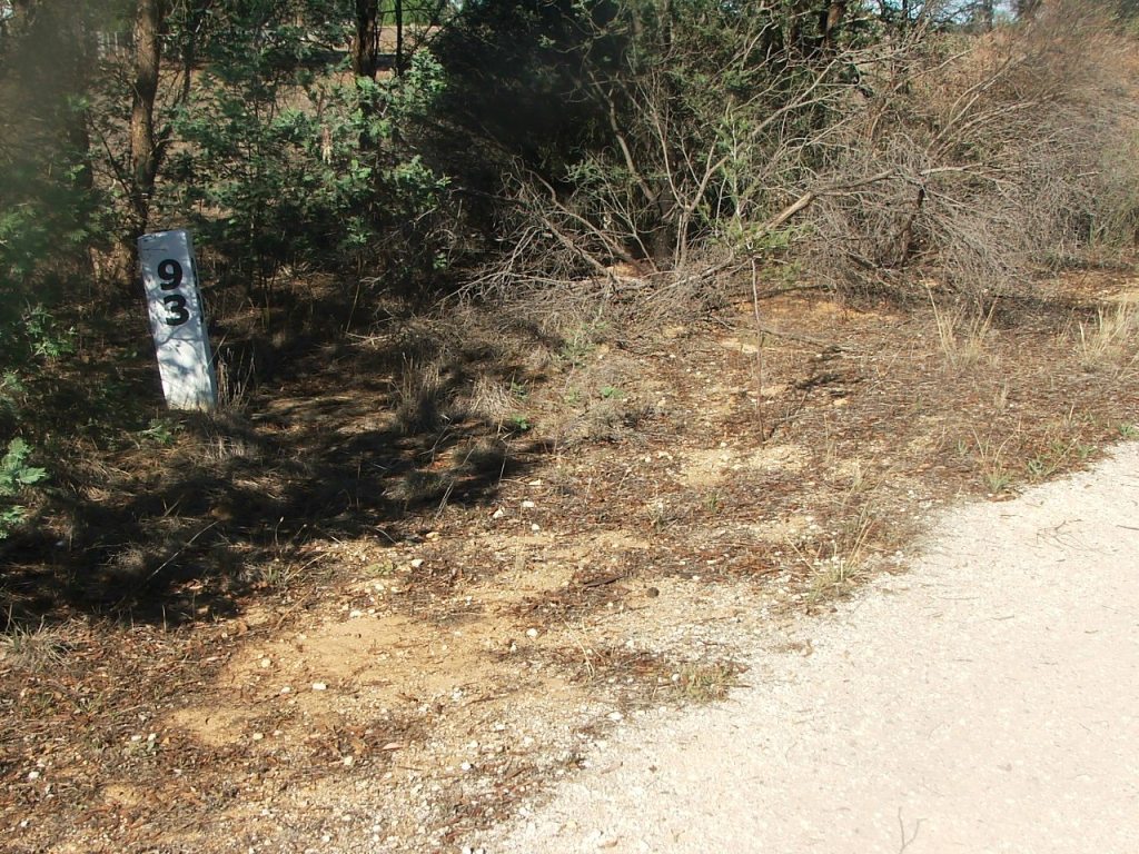
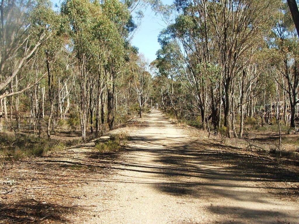
Replica Marker Post 93.
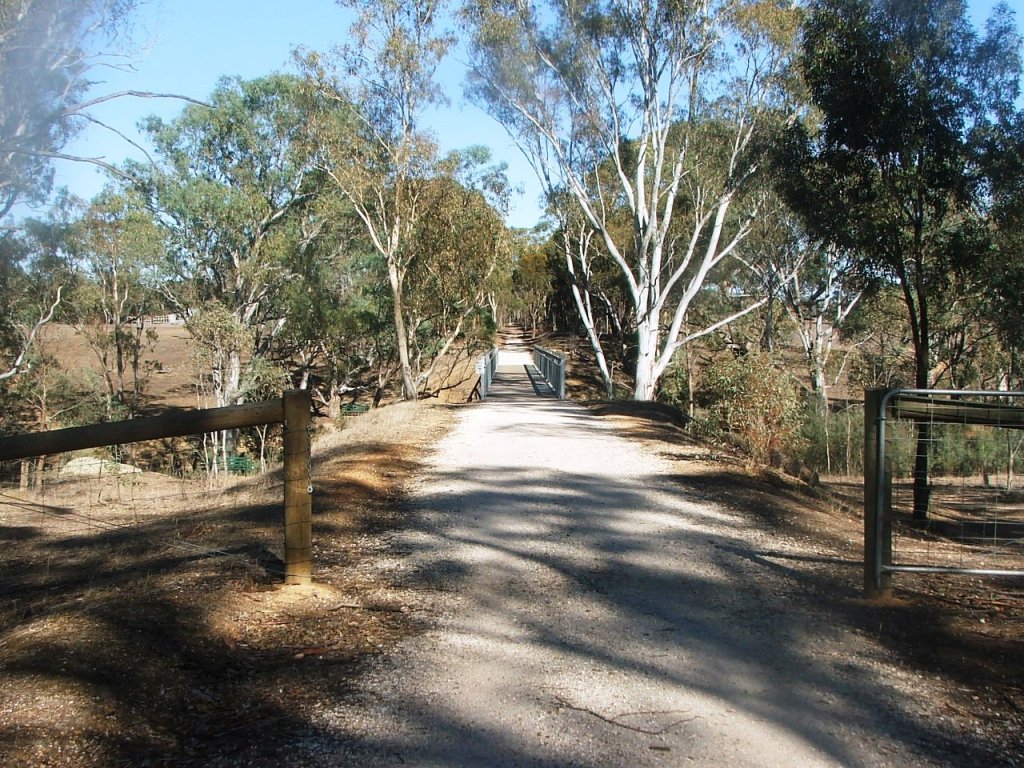
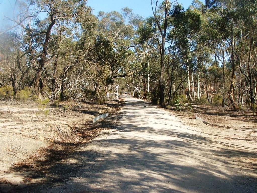
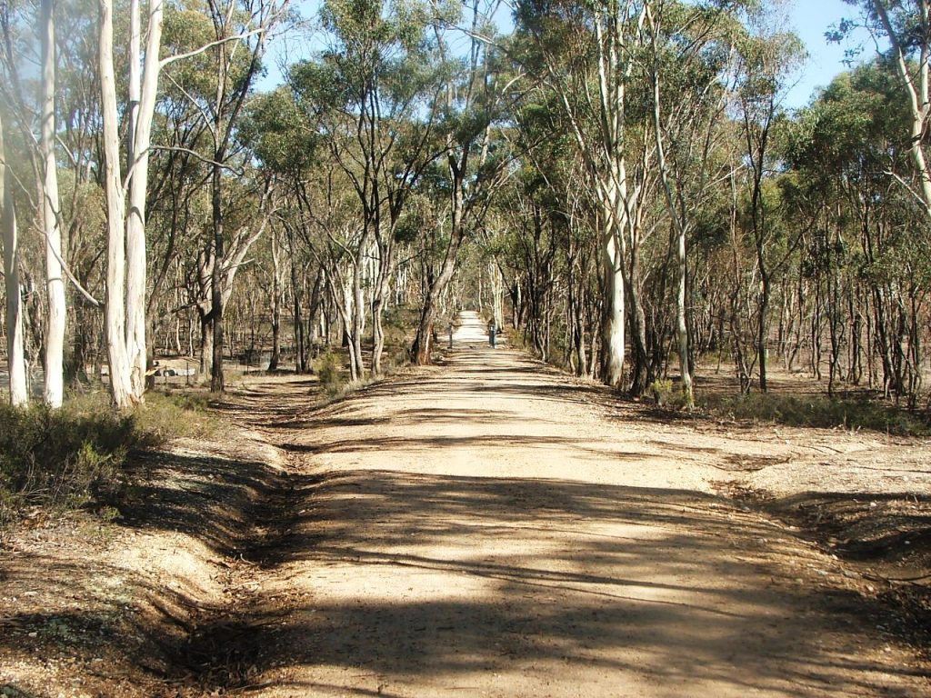
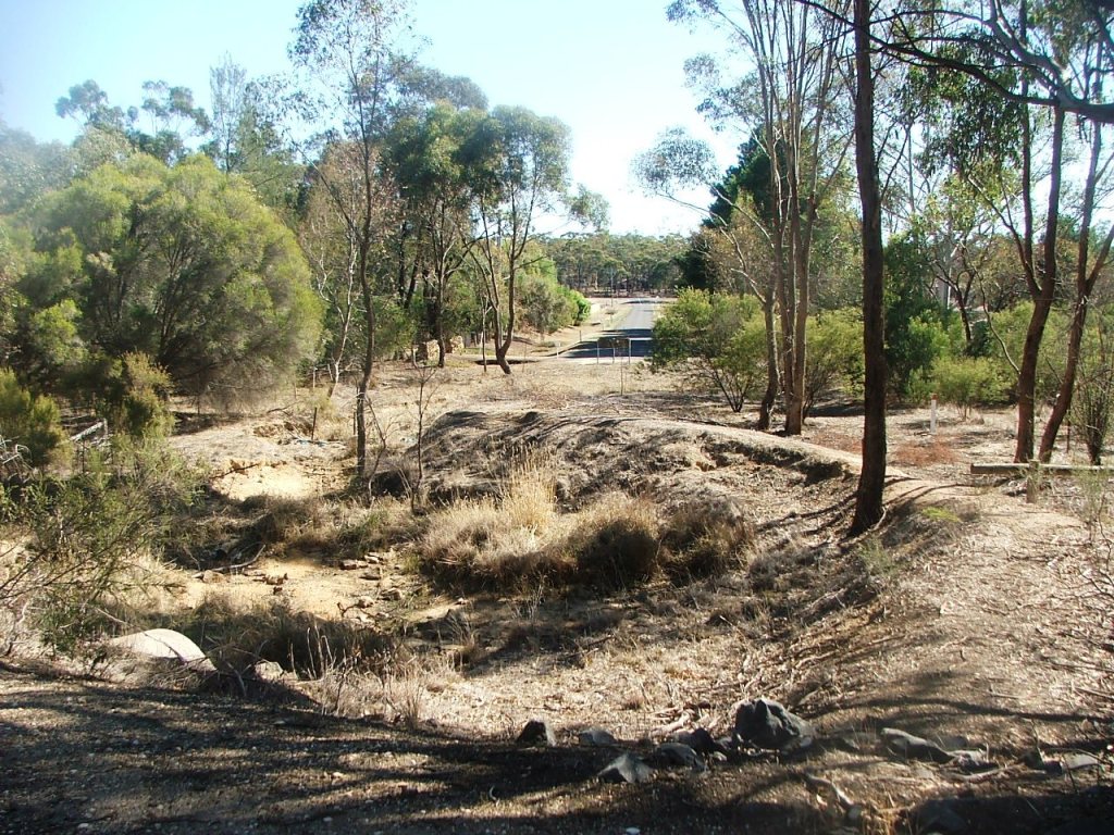
The Parish Boundary with Axe Creek bridge ahead.
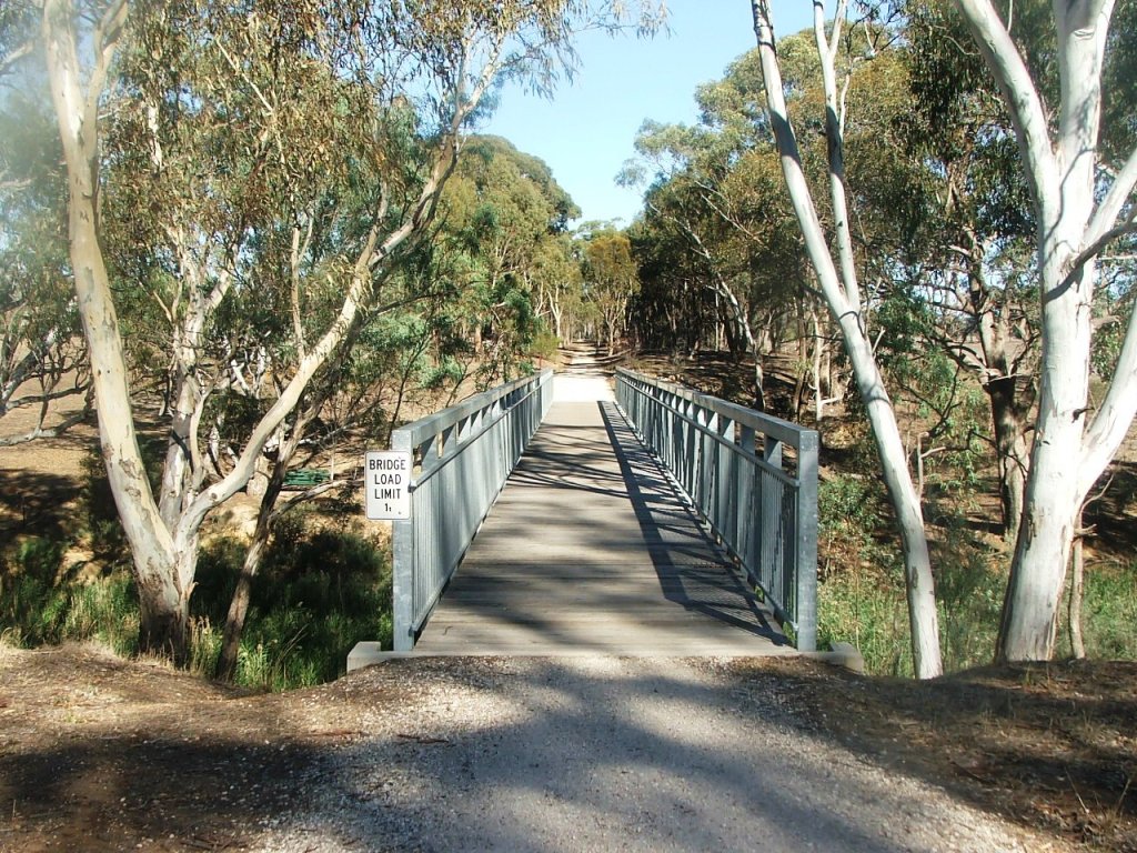
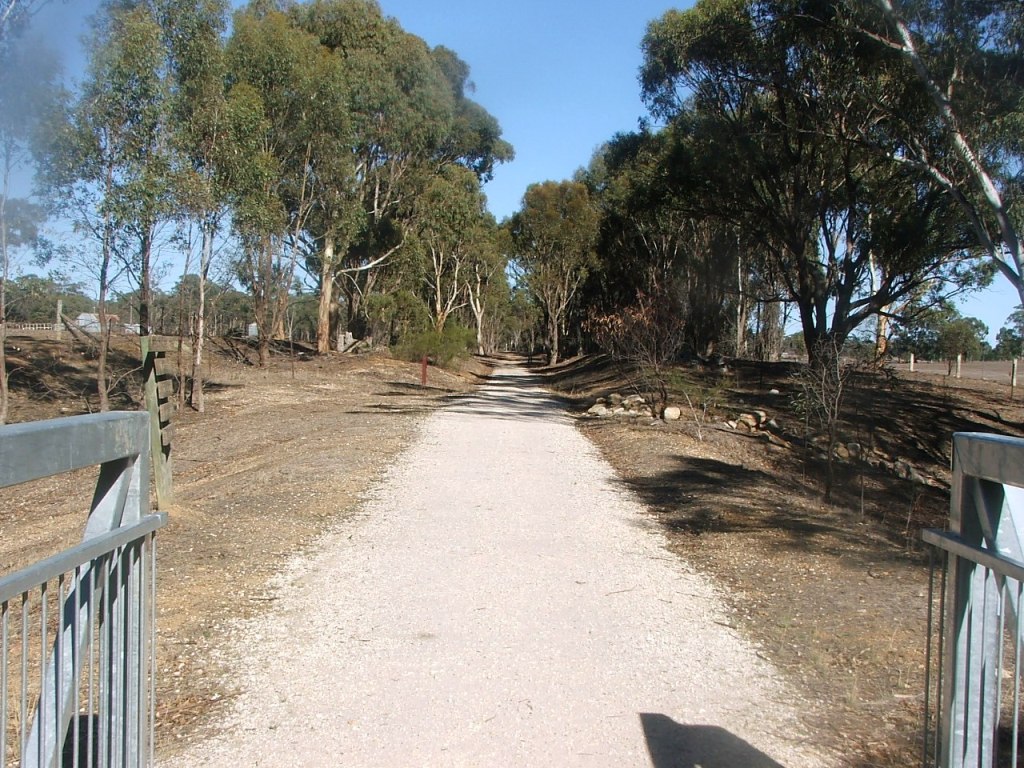
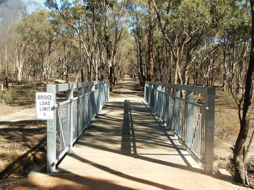
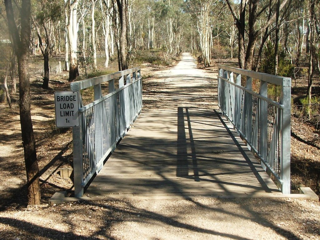
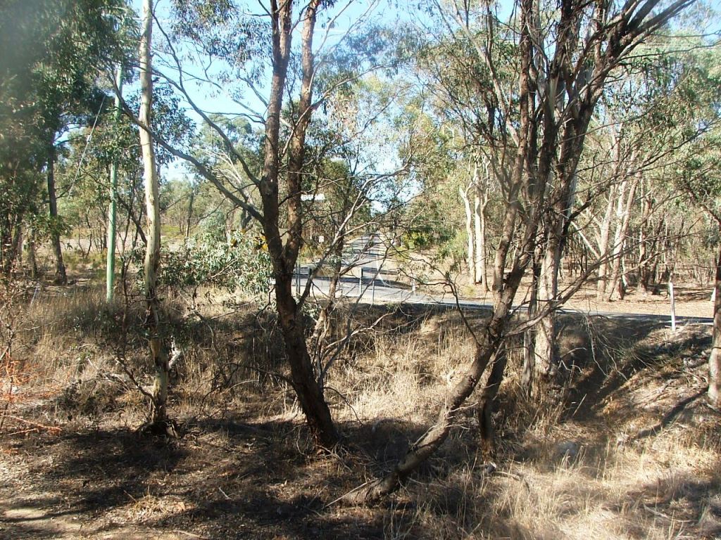
Today's Axe Creek bridge.
From Longlea Lane.
Replica Marker Post 93.
The Parish Boundary with Axe Creek bridge ahead.
Today's Axe Creek bridge.
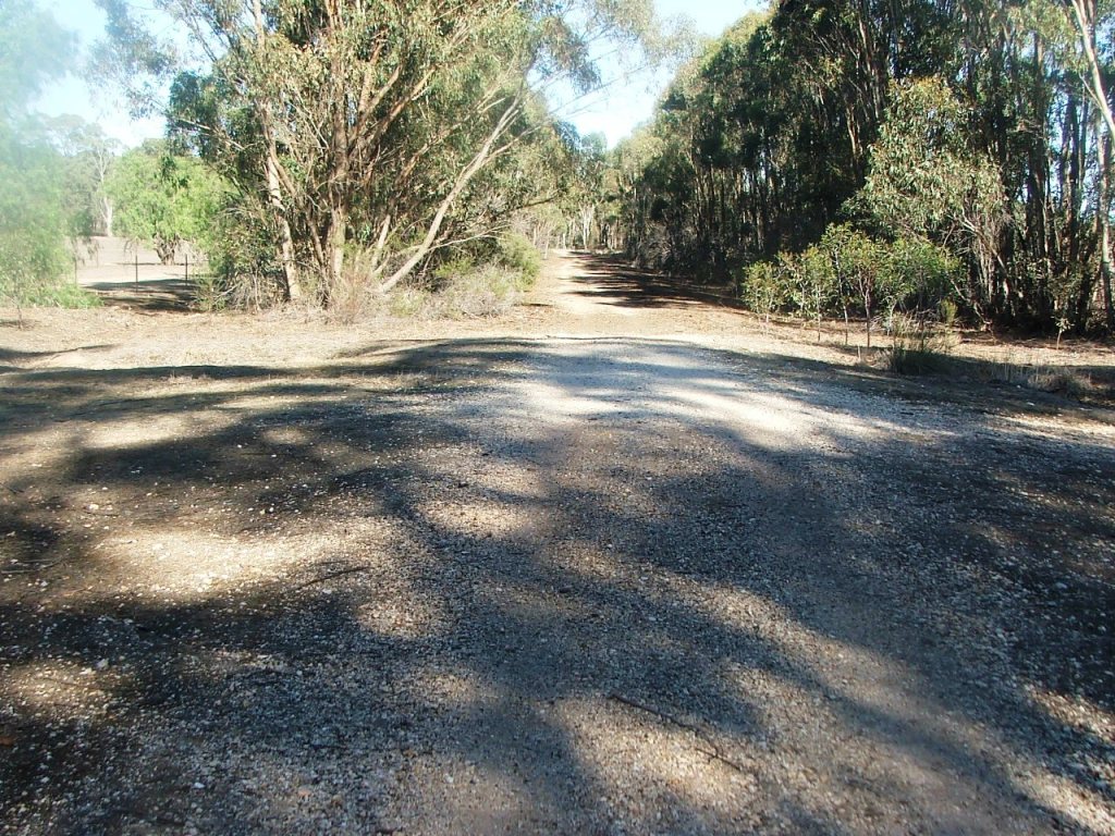
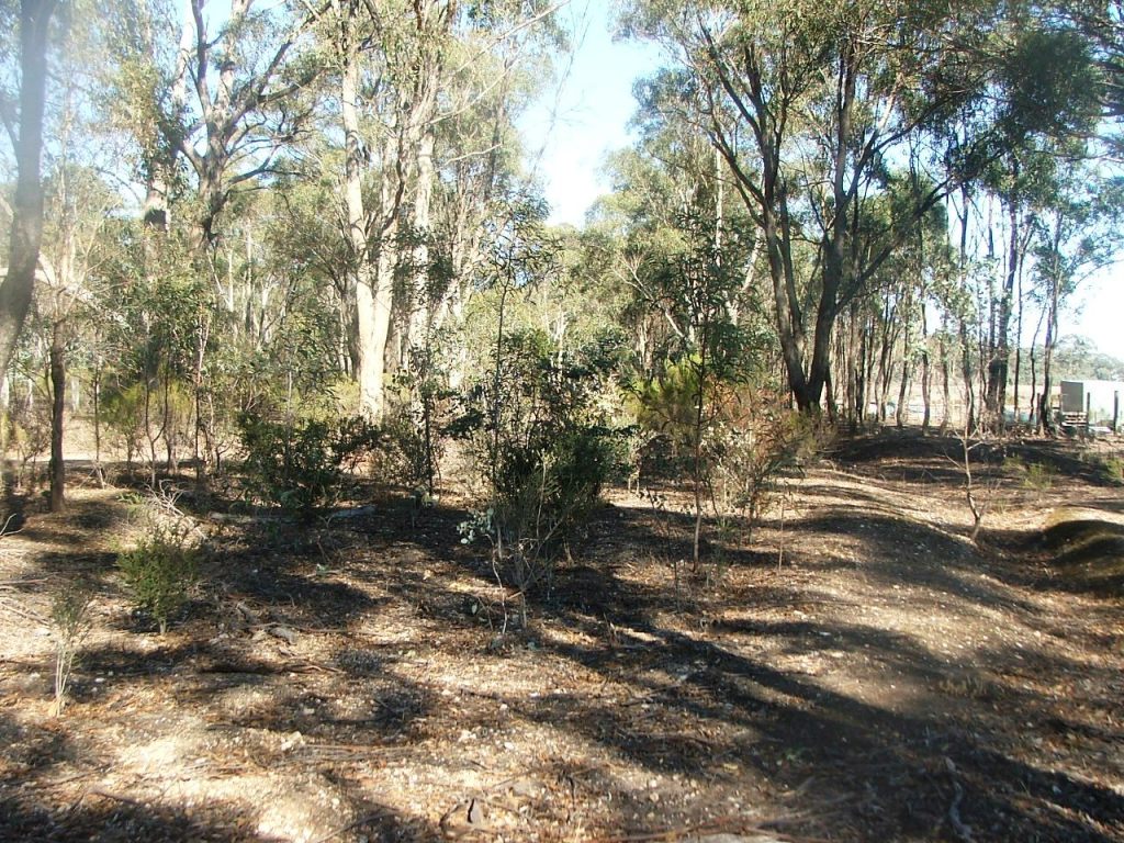
From the bridge into a cutting.
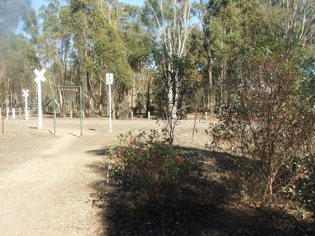
Occupation Crossing.
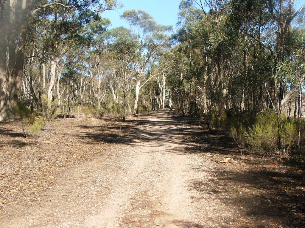
Towards Hodge's Lane and RMSP 63 location.
Hodge's Lane P.C.R. Crossing.
Rail Motor Stopping Place No.63.
Crossing Hodge's Lane with intact cattle pit beams.
The Down side of Hodge's Lane that the Rail Trail avoided.
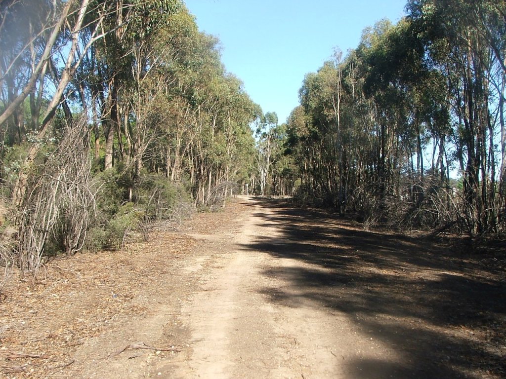
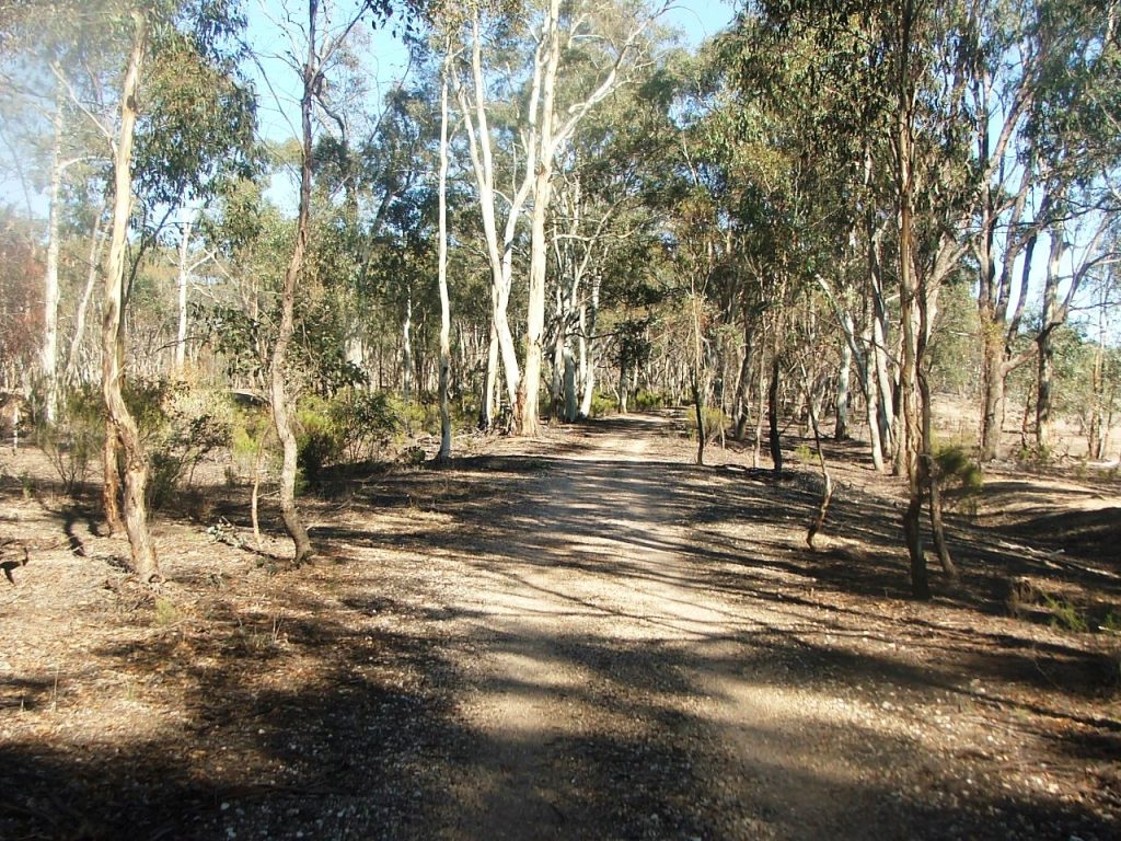
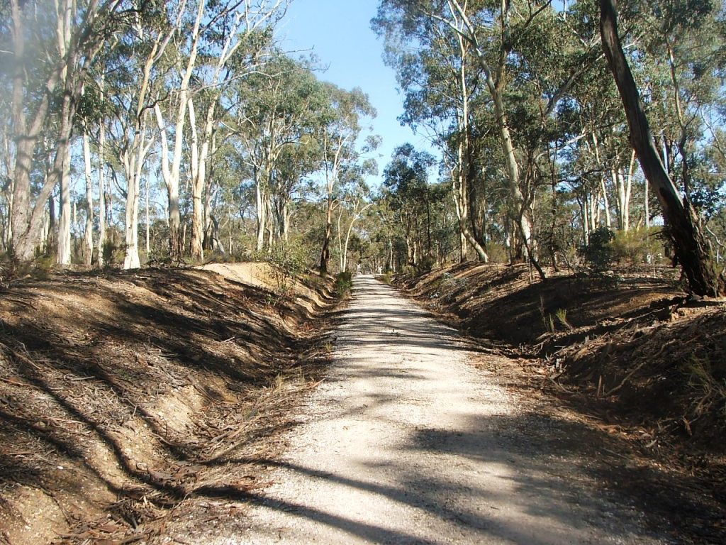
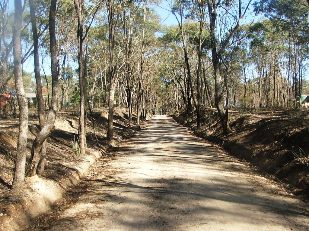
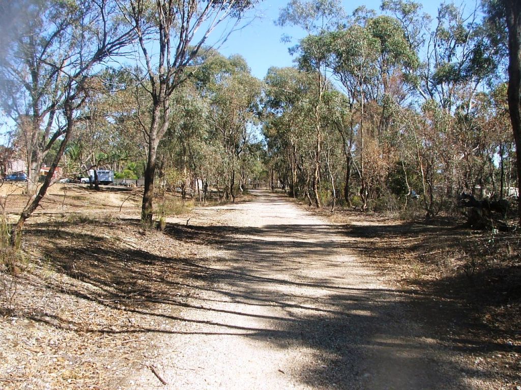
Back on the track bed.
The curve near Marker Post 94.
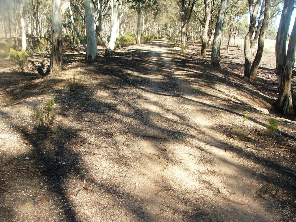
Further around the curve.
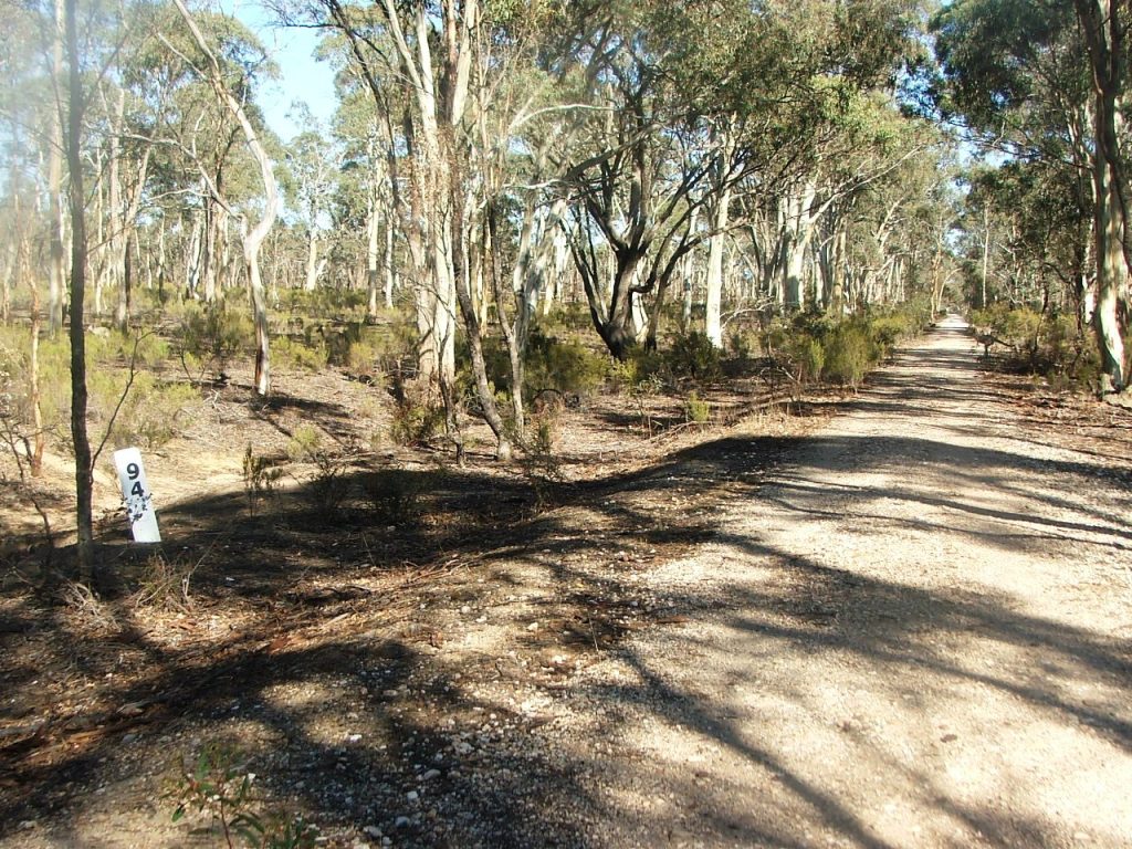
Replica Marker Post 94.
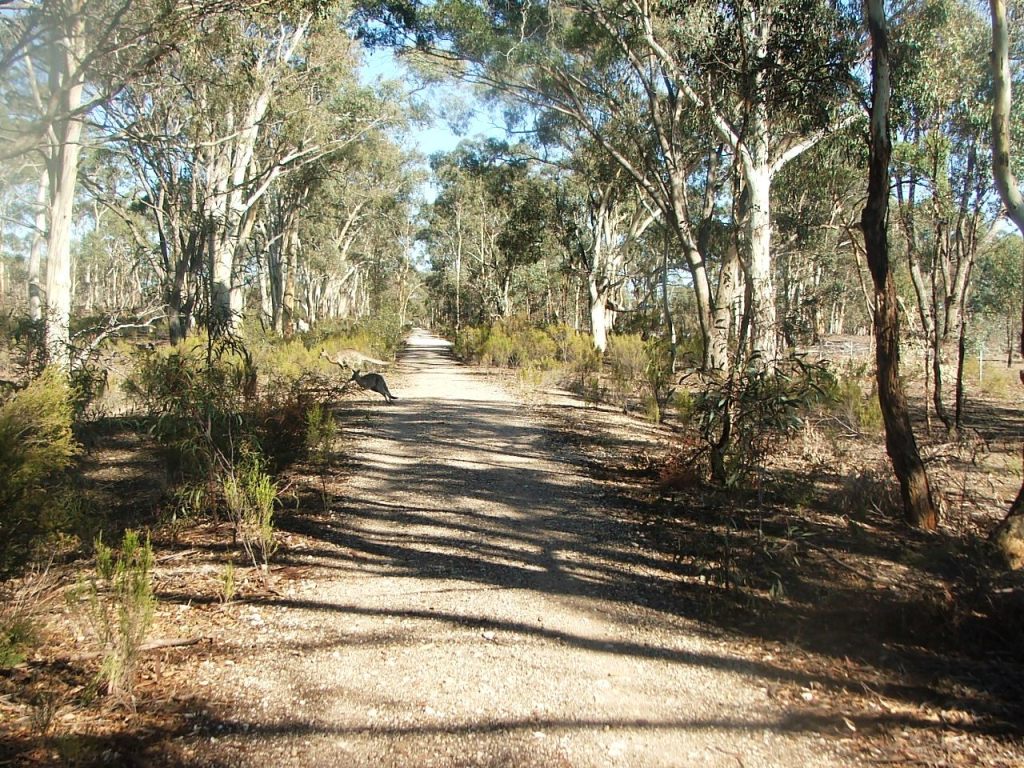
A kangaroo caught in mid flight.
The cutting leading to Bennetts Road P.C.R. Crossing.
The top of the grade before Bennetts Road. Effectively all downhill from here.
Bennetts Road P.C.R. Crossing.
A bridge ahead.
Today's unidentified watercourse bridge.
This telephone pole was not quite removed.
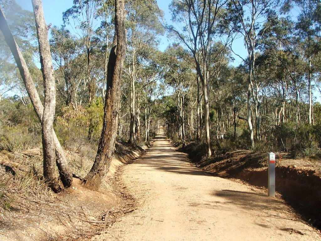
A cutting to the top of a rise.
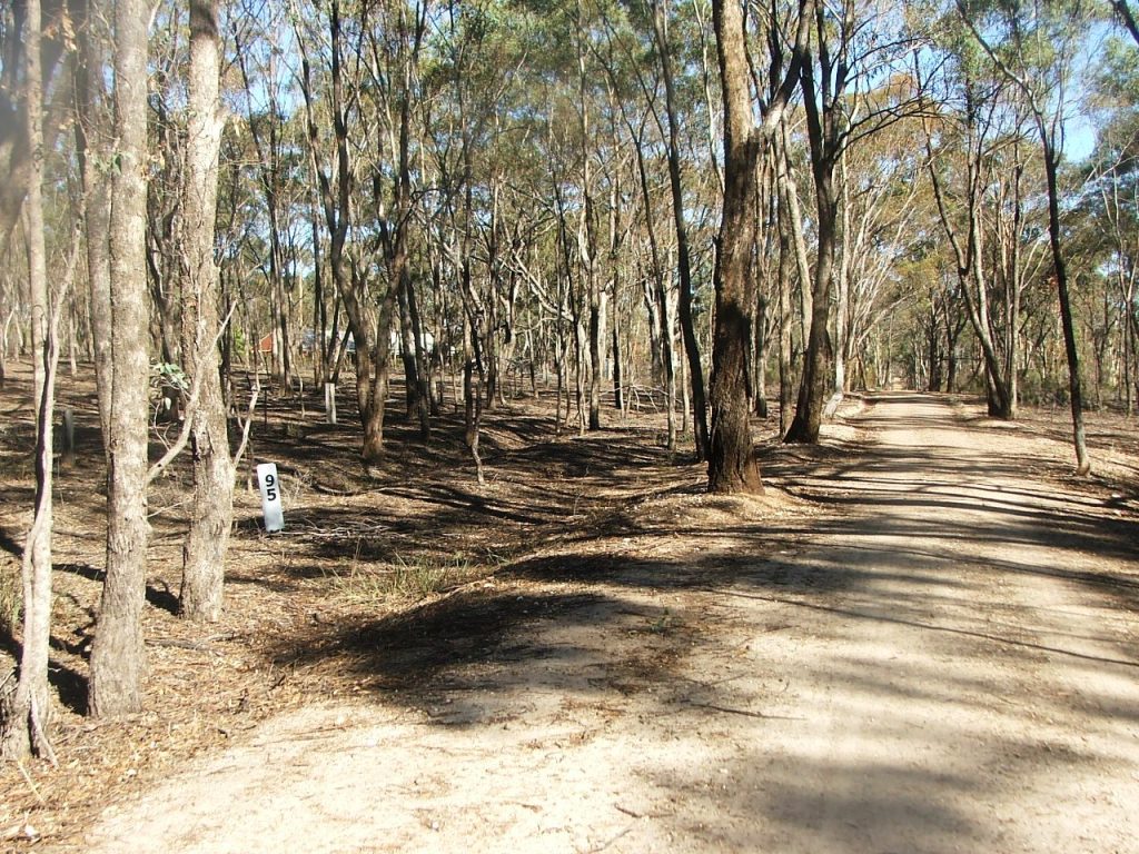
Replica Marker Post 95.
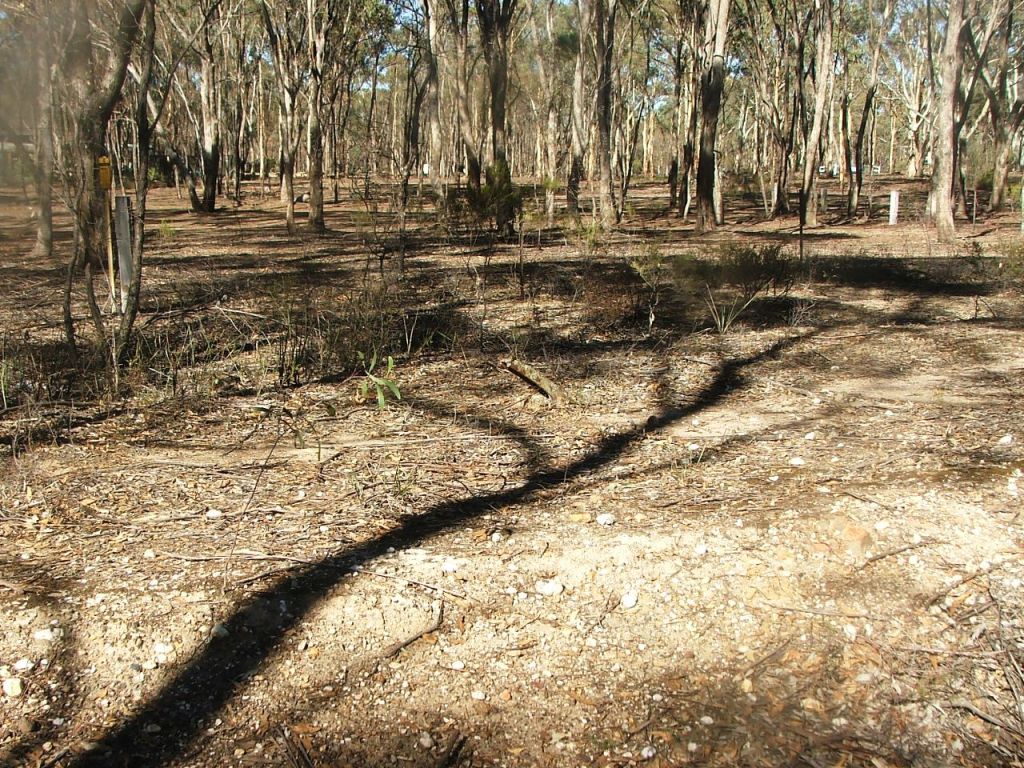
The tree, and the kink, came after line closure.
Another bridge coming up.
Today's unidentified watercourse bridge.
Low cutting to the top of another rise.
The bank leading to Somerset Park Road P.C.R. Crossing.
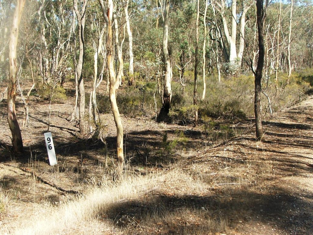
Replica Marker Post 96.
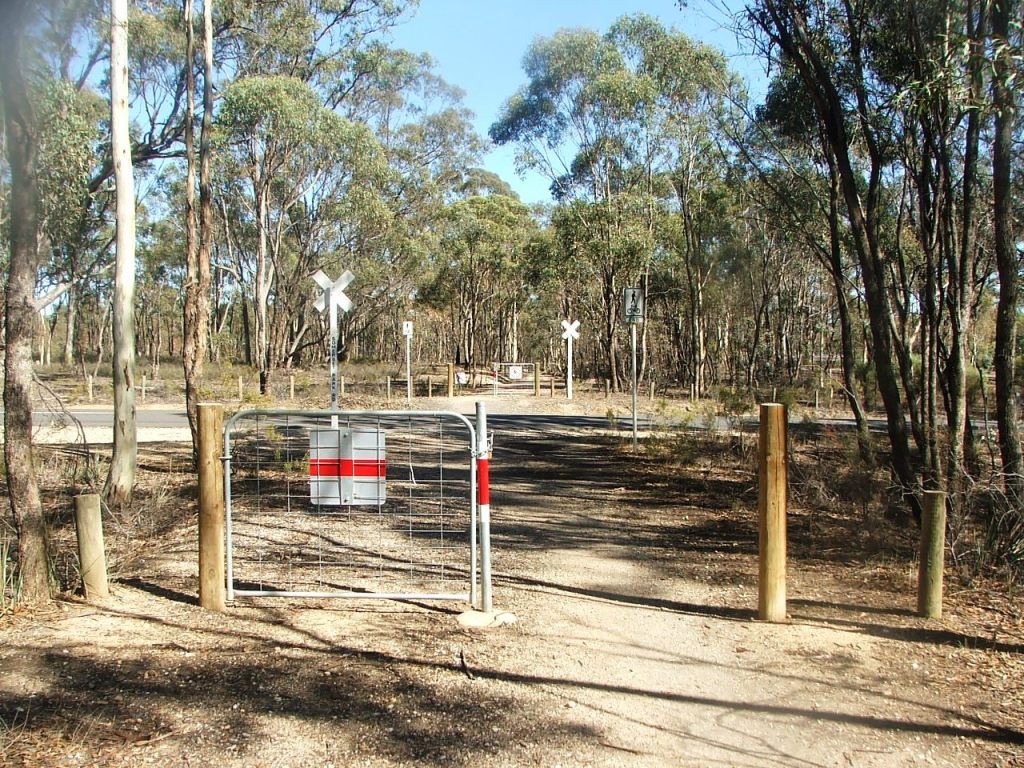
Somerset Park Road P.C.R. Crossing.
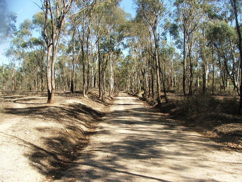
Another cutting.
There was a 5 x 11' openings (16.77m) bridge here and the road was closed by the line.
The North end of the closed road became Manning Court.
The closed road to the South became Binks Road at the intersection with Trottong Terrace.
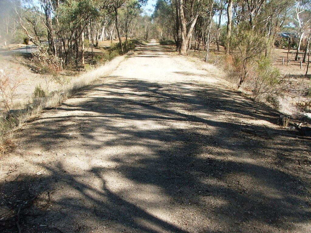
End of last cutting before Wilkie Road P.C.R. Crossing.
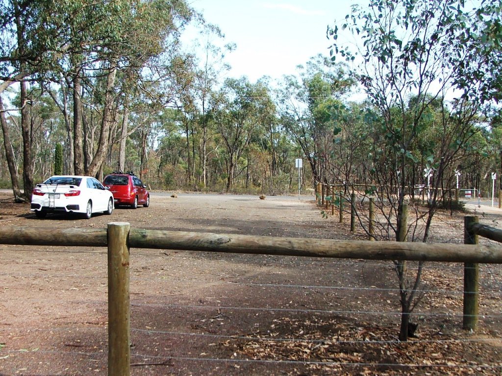
Continuing through car park to cross Wilkie Road and enter Strathfieldsaye Station.
This site is hosted by CoffeeCup S-Drive.
Comments and suggestions may be e-mailed to