
Pohlman Street Crossing showing rail position.
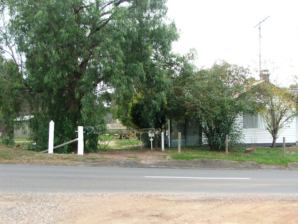
Mitchell Street PCR, Gatekeeper's residence.

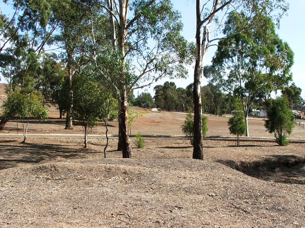
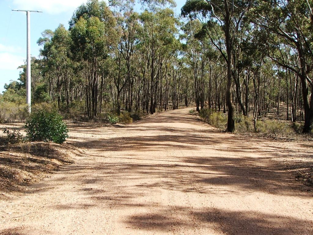
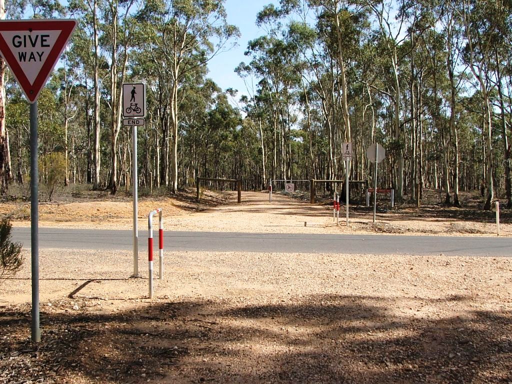
Across McIvor Street, straight into the distance.
The site of a 1 x 15' opening bridge.
Pohlman Street Crossing showing rail position.
Mitchell Street PCR, Gatekeeper's residence.
Across McIvor Street, straight into the distance.
The site of a 1 x 15' opening bridge.

Continuing straight across Thompson's Lane.
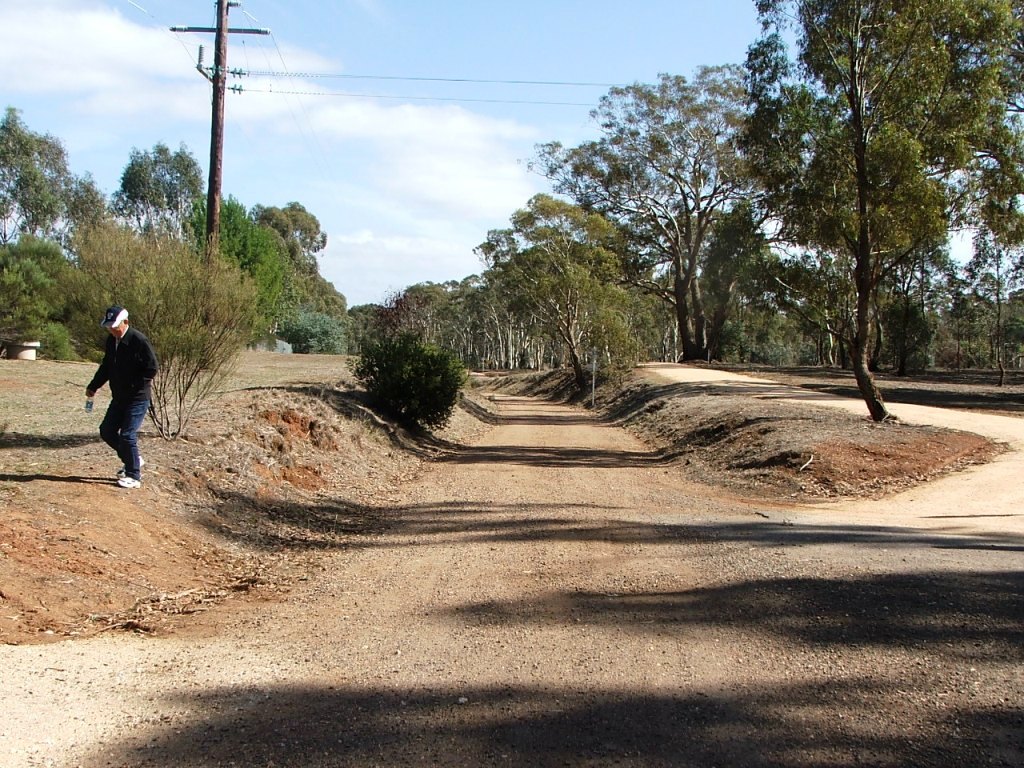
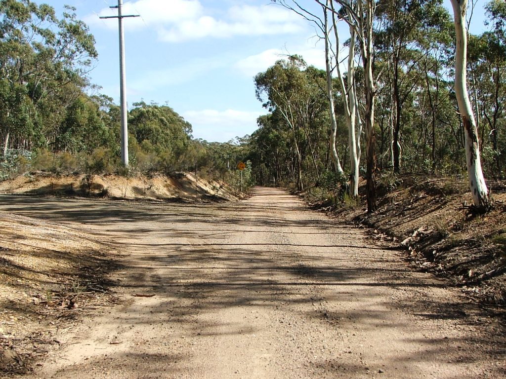
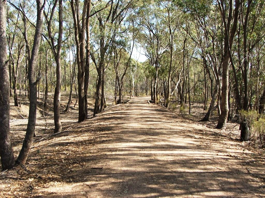
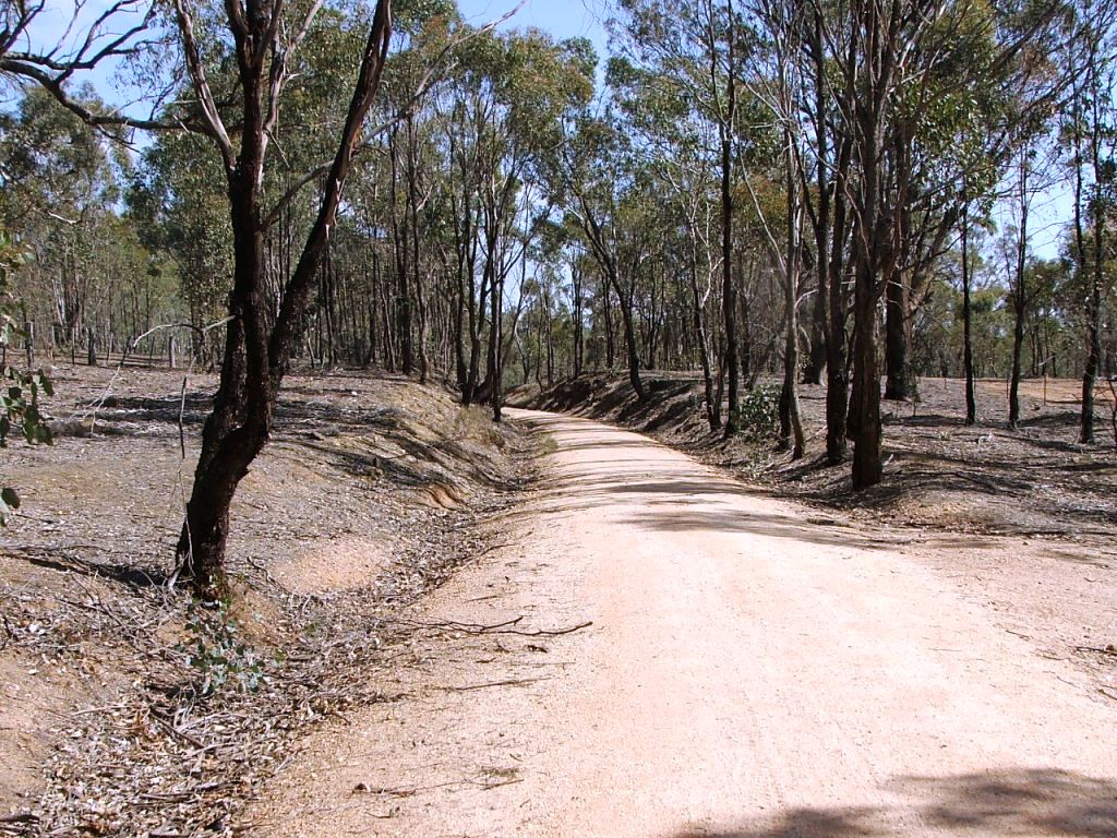
The line continued into the cutting, the Rail Trail is parallel to the right.
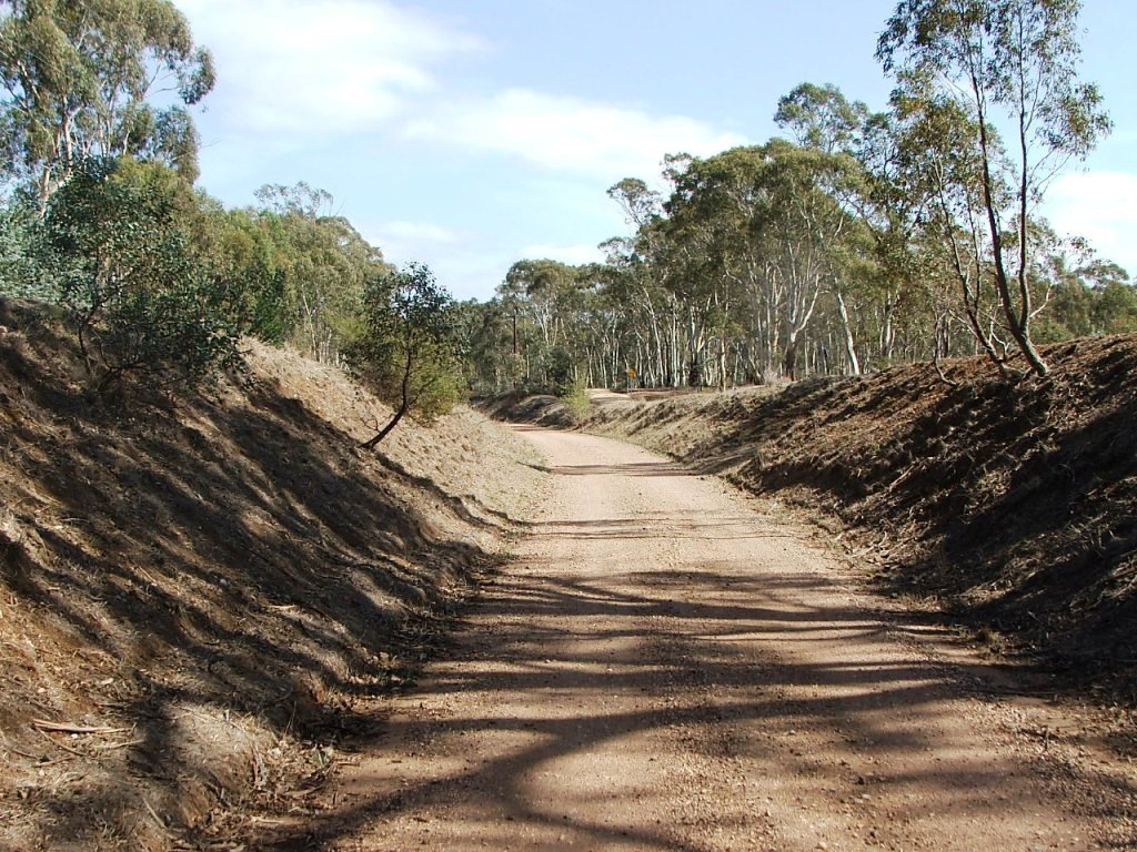
Further around the curve in the cutting.
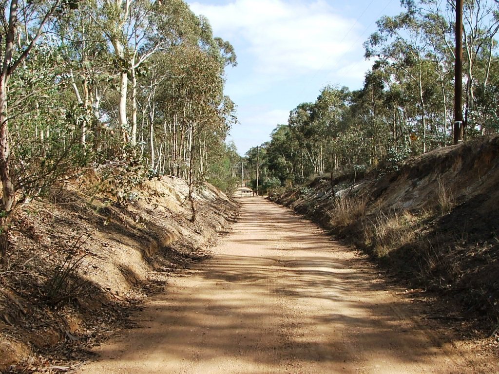
Even further around the curve.
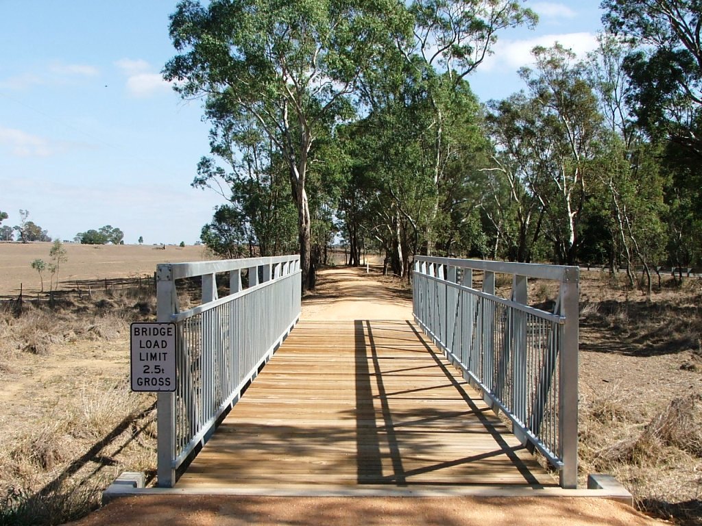
Aligned with the rail reserve and today's Wattle Flat bridge.
Today's Wattle Flat Bridge on Bank xx.
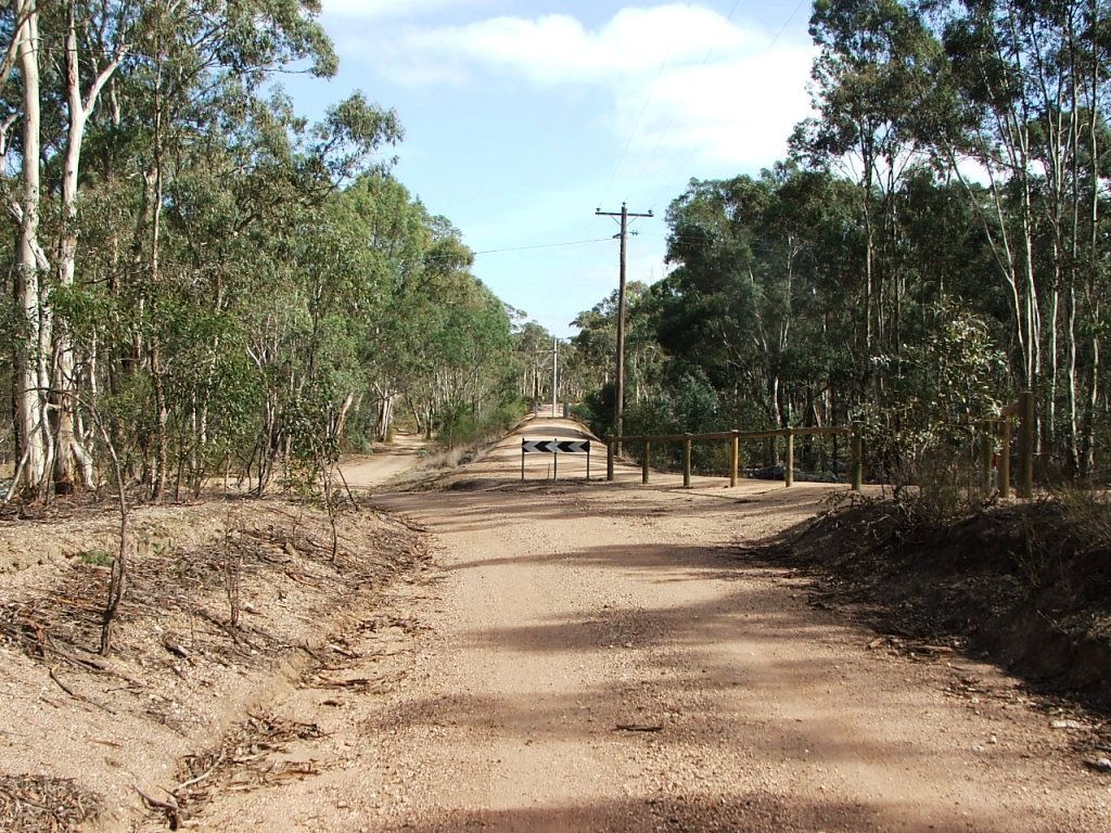
Righthand curve and PCR Crossing ahead.

PCR Crossing.
Sewage treatment plant to the left.
Another righthand curve ahead.

Cutting to the top of the rise.

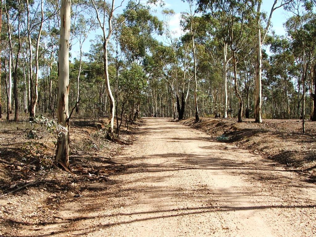
Straight to another curve.
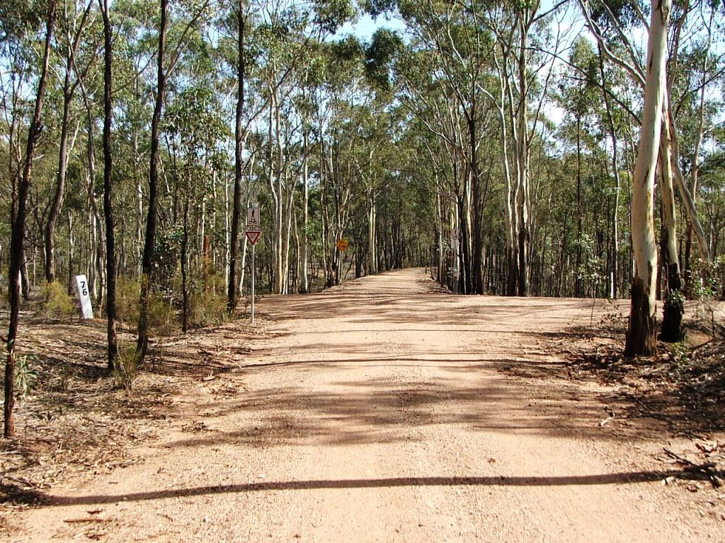
Replica Marker post 76.

This culvert was once a 12 x 11' openings bridge.

A view of the culvert from the North end.
Mia Mia - Derrinal Road crossing ahead.
Mia Mia - Derrinal Road crossing followed by a lefthand curve.
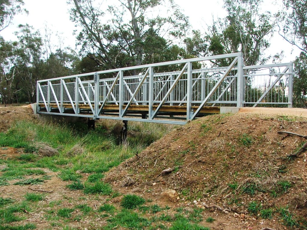
Concrete bridge ahead at 76M 75C 39L.

Concrete bridge, replaced a .
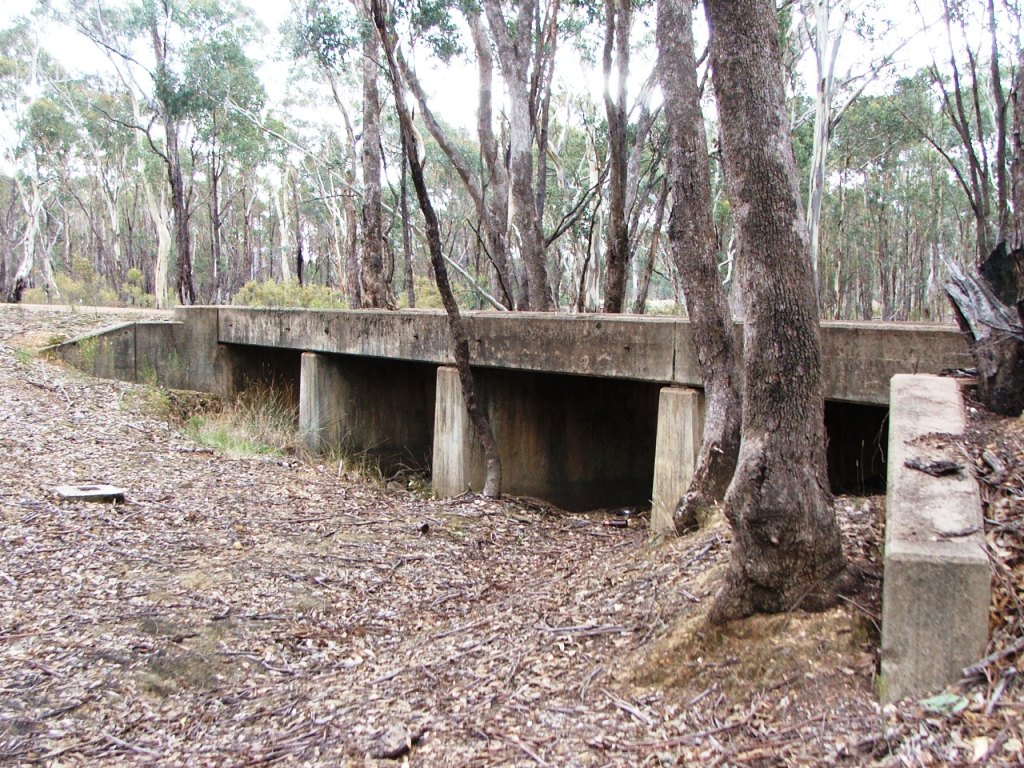
Another view of the concrete bridge.

Bridge location stamp.

Support pier 1, 6' deep foundation.

Support pier 2, 8' deep foundation.
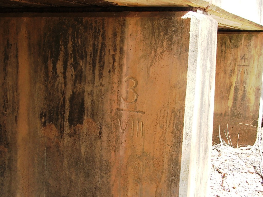
Support pier 3, 8' deep foundation.
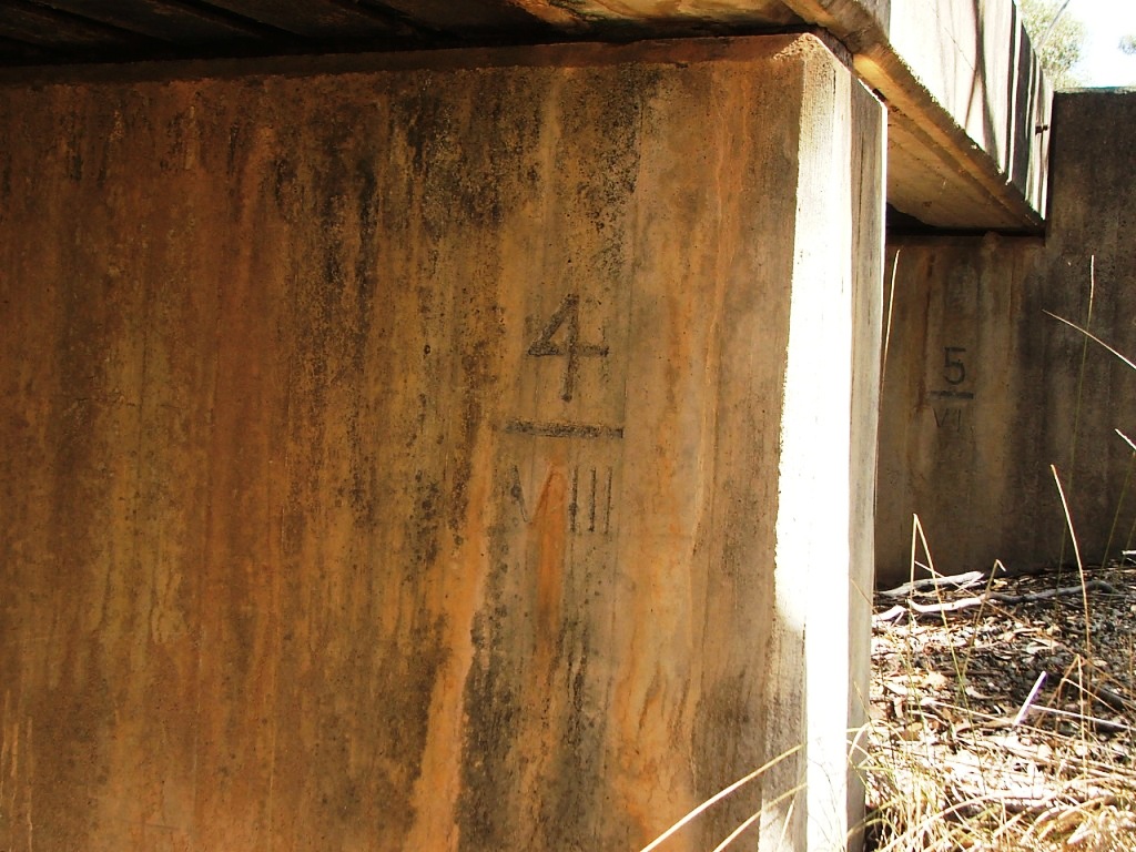
Support pier 4, 8' deep foundation.

Support pier 5, 6' deep foundation.
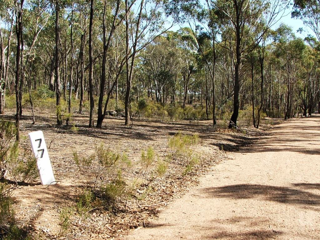
Replacement Marker Post 77.
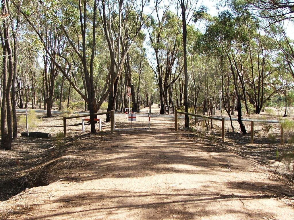
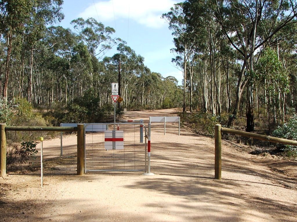
Hill's Road PCR crossing.
Cattle grid beam at Hills Road PCR Crossing.

Cattle grid beam closeup.

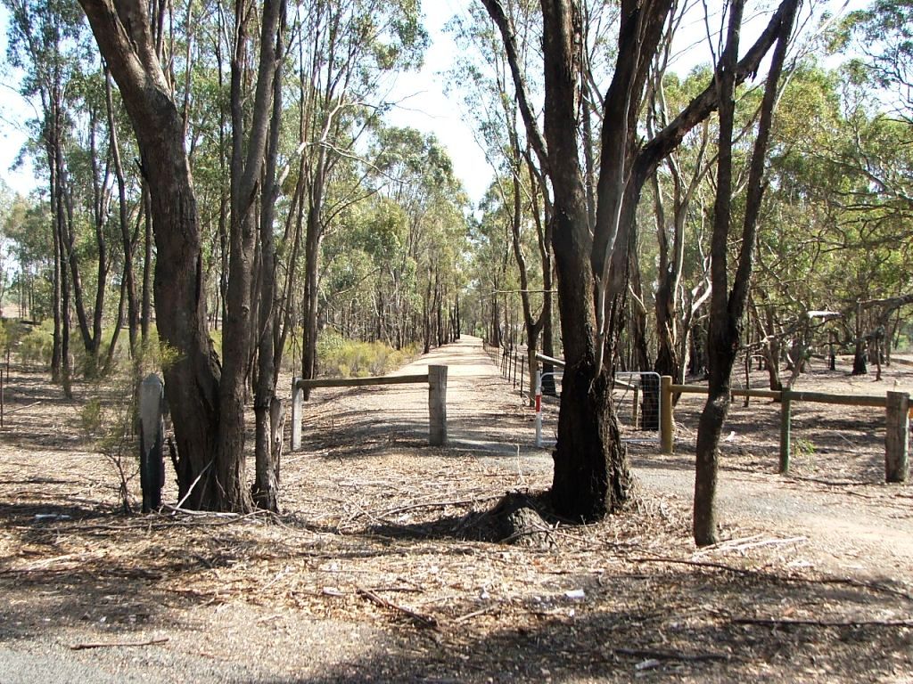
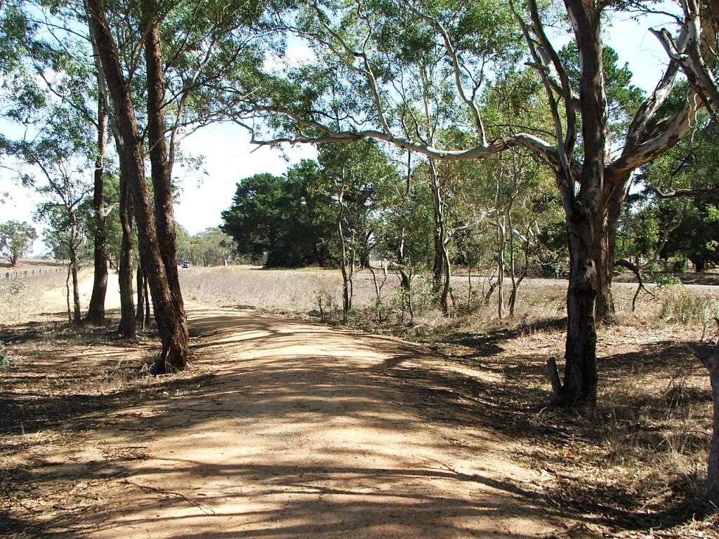
Towards cutting and lefthand curve.
Entering the cutting.

Exiting the cutting.

This brick culvert in Bank 89 was originally a 5 x 11' bridge.

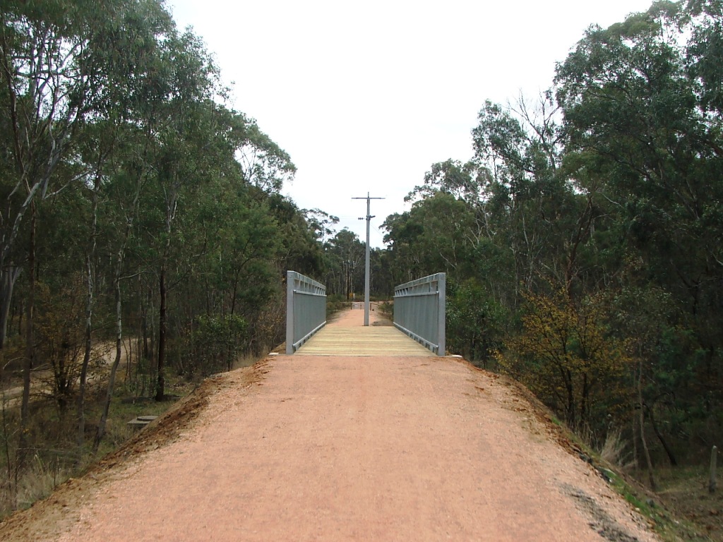
Leading to the Wallace Gully bridge.
Wallace Gully bridge.
Another view of the Wallace's Gully Bridge, originally 5 x 7', at the start of a right curve to cross the main (McIvor) Road.
Unlike the Trail, the line continued on a slight righthand curve across McIvor Road, to enter Derrinal Station Ground.
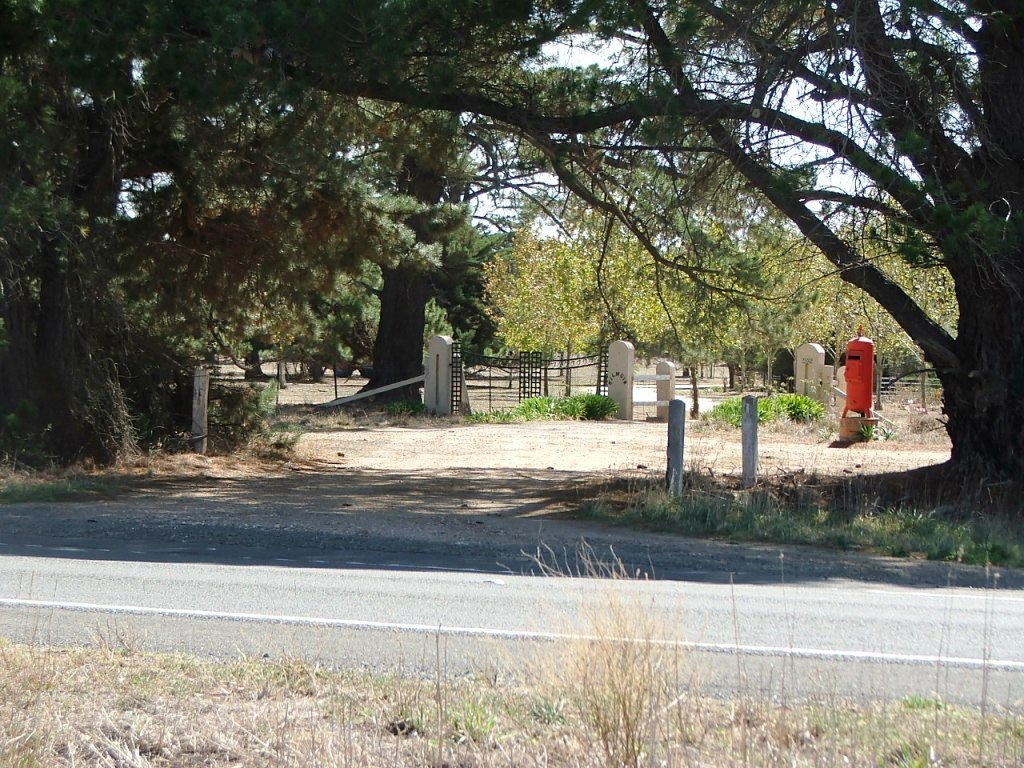
Entrance to Kilmuir Estate, spelled Kilmure on the contract plan, North side of the highway, near the original crossing.
This site is hosted by CoffeeCup S-Drive.
Comments and suggestions may be e-mailed to