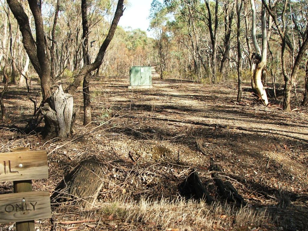
Heading West over cattle grid remains from Taig Road PCR Crossing.
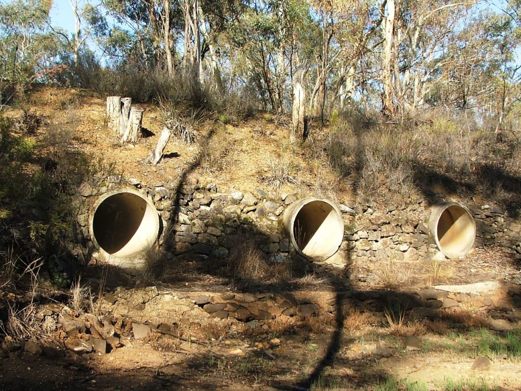
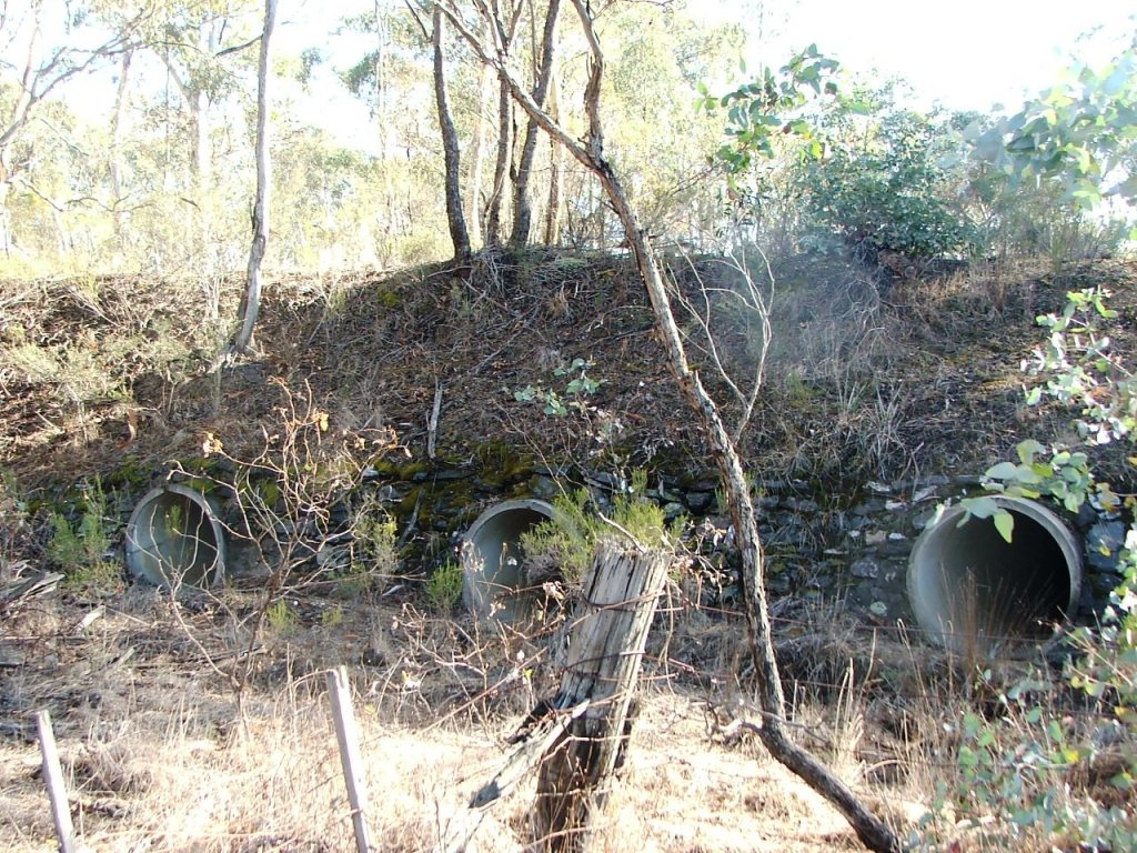
There was once a 5 x 11' (16.77m) bridge here.

The culvert that replaced the bridge, North side.
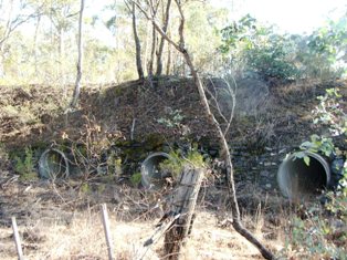
The culvert that replaced the bridge, South side.
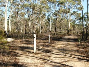
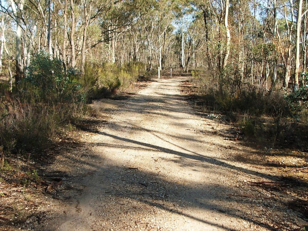
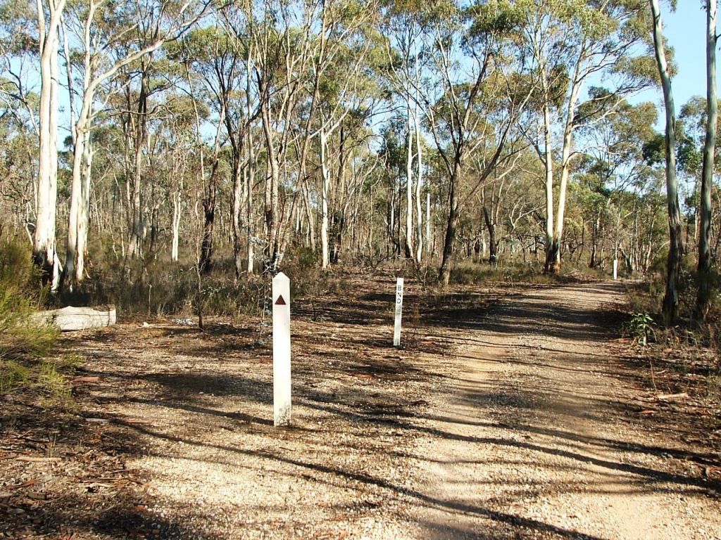
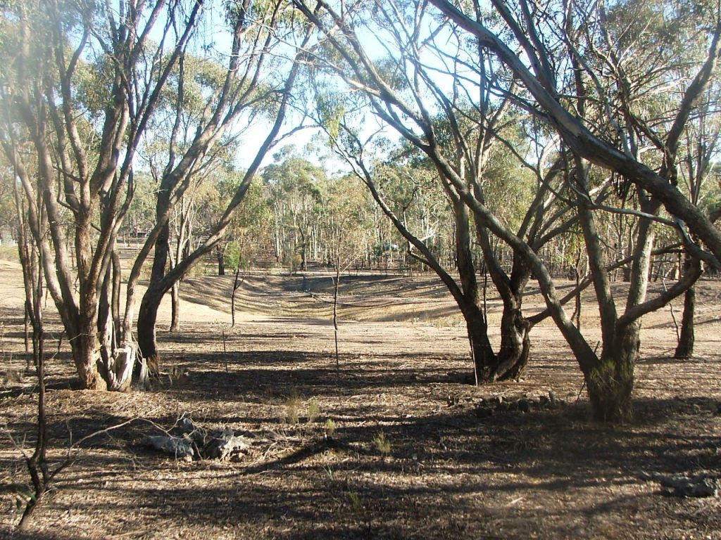
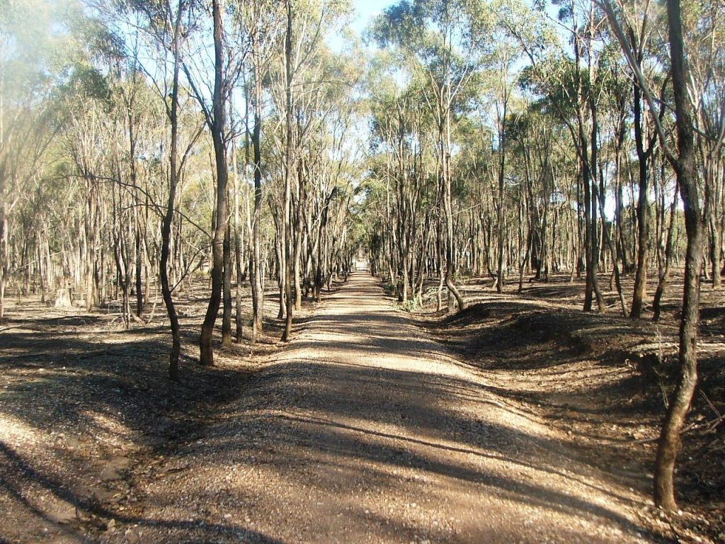
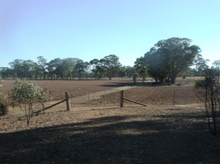
The line continued straight ahead, between the white posts.
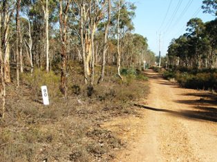
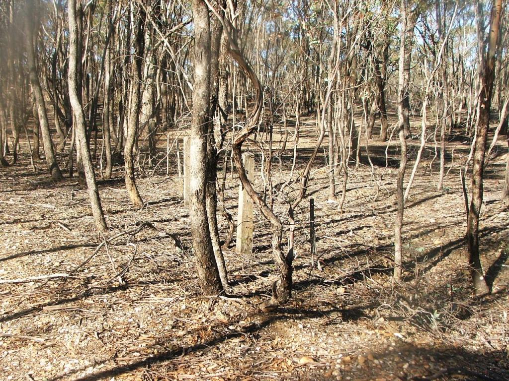
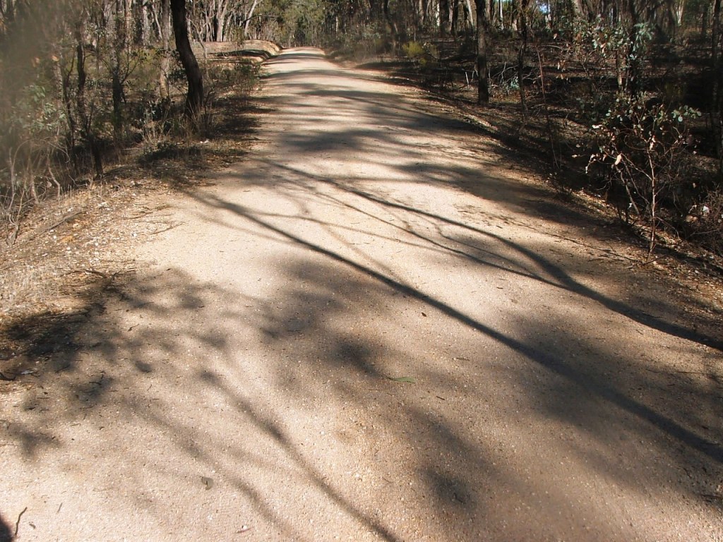
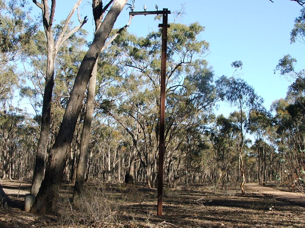
Marker Post 89, just before Hickey Road.
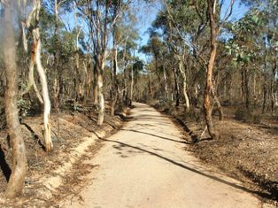
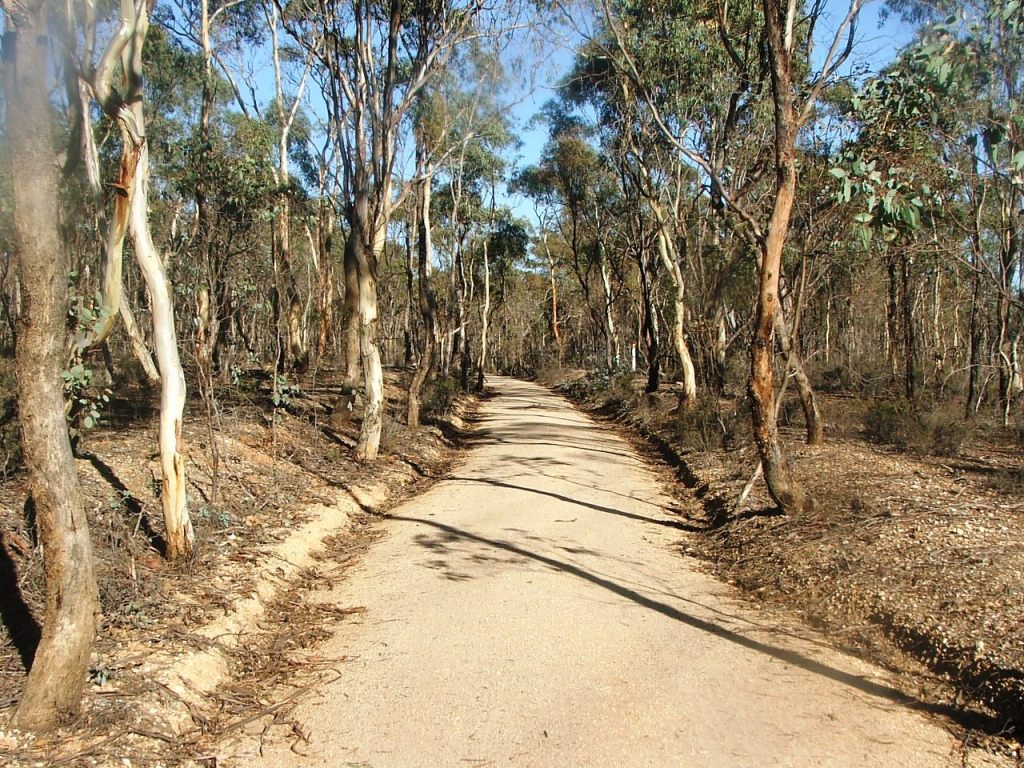
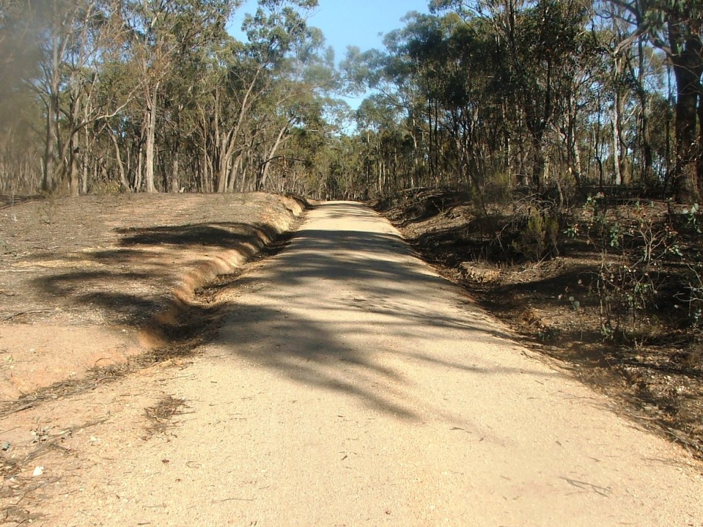
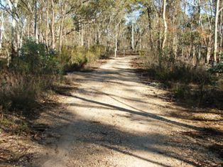
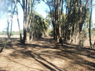
Continuing on a curve to the Acott Mine and Hotel site.
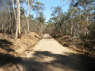
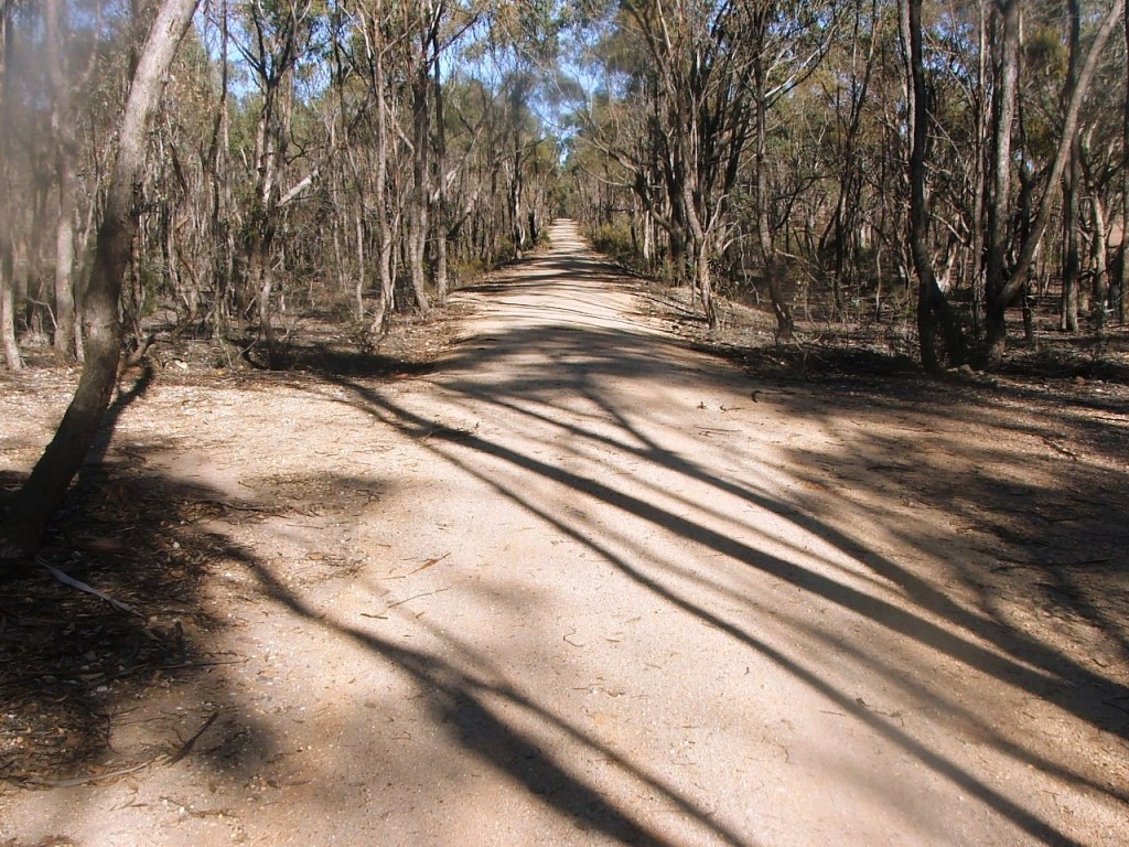
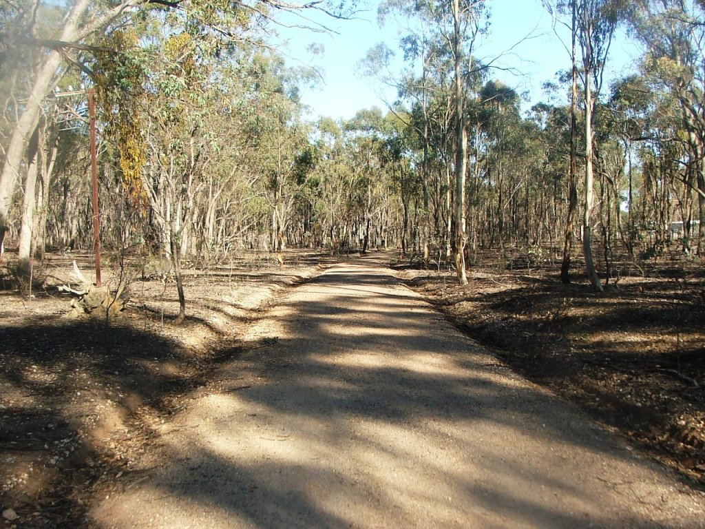
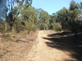
The cutting before the mine P.C.R. Crossing.
The closed road to the North. It turned and followed the line of trees to the left, meeting Bowles Road intersection at McIvor Highway.
Approaching Bowles Road P.C.R. Crossing.
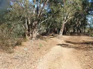
Cutting leading to Bowles Road.
The line crossed Bowles Road just to the right of the Trail crossing.