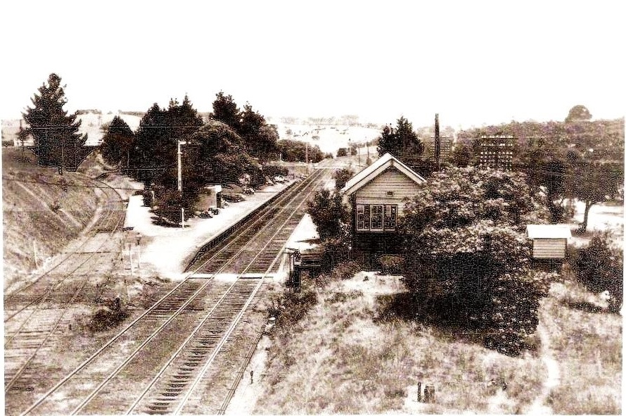
Heathcote Junction. The line of interest branches at the left. Image supplied by David Watson.
The content displayed in this section of the site is a work in progress. As such, it can be added to, deleted from, or edited, at any time. To have it any other way would mean, at worst, it may never become available, or at least would be deficient or contain more than acceptable errors. It is, as it is, at the time of access. I welcome your comments. Please don't keep any errors or criticisms to yourself.
Distance: Early rail distance measurements are recorded in miles, chains and links. There are 80 chains per mile and 100 links per chain. A mile is approximately 1.61 kilometres, a chain is approximately 20.12 metres and a link is approximately 200mm. Various Railway Departments used their own references but Marker Post references are generally taken as relative to the Southern edge of Collins Street a location close to Spencer Street Station which is now called Southern Cross.
Direction: The travelling direction to Melbourne is the Up direction. The Up side of the line, or the Up rail, is the left side or rail when travelling in the Up direction. Conversely, the travelling direction away from Melbourne is the Down direction. The Down side of the line, or the Down rail, is the left side or rail when travelling in the Down direction.
Heathcote Junction. The line of interest branches at the left. Image supplied by David Watson.
This site is hosted by CoffeeCup S-Drive.
Please email any comments, errors or additions to